Crabtree Meadows

Total Miles5.1
Technical Rating
3Easy
Best TimeSpring, Summer, Fall, Winter
Trail TypeFull-Width Road
Accessible By
Open Trail Map

Trail Overview

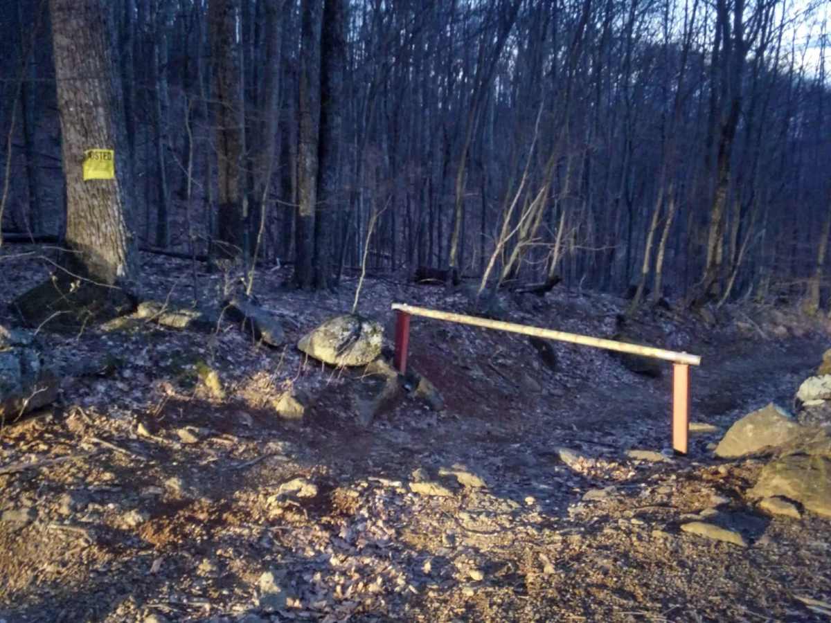
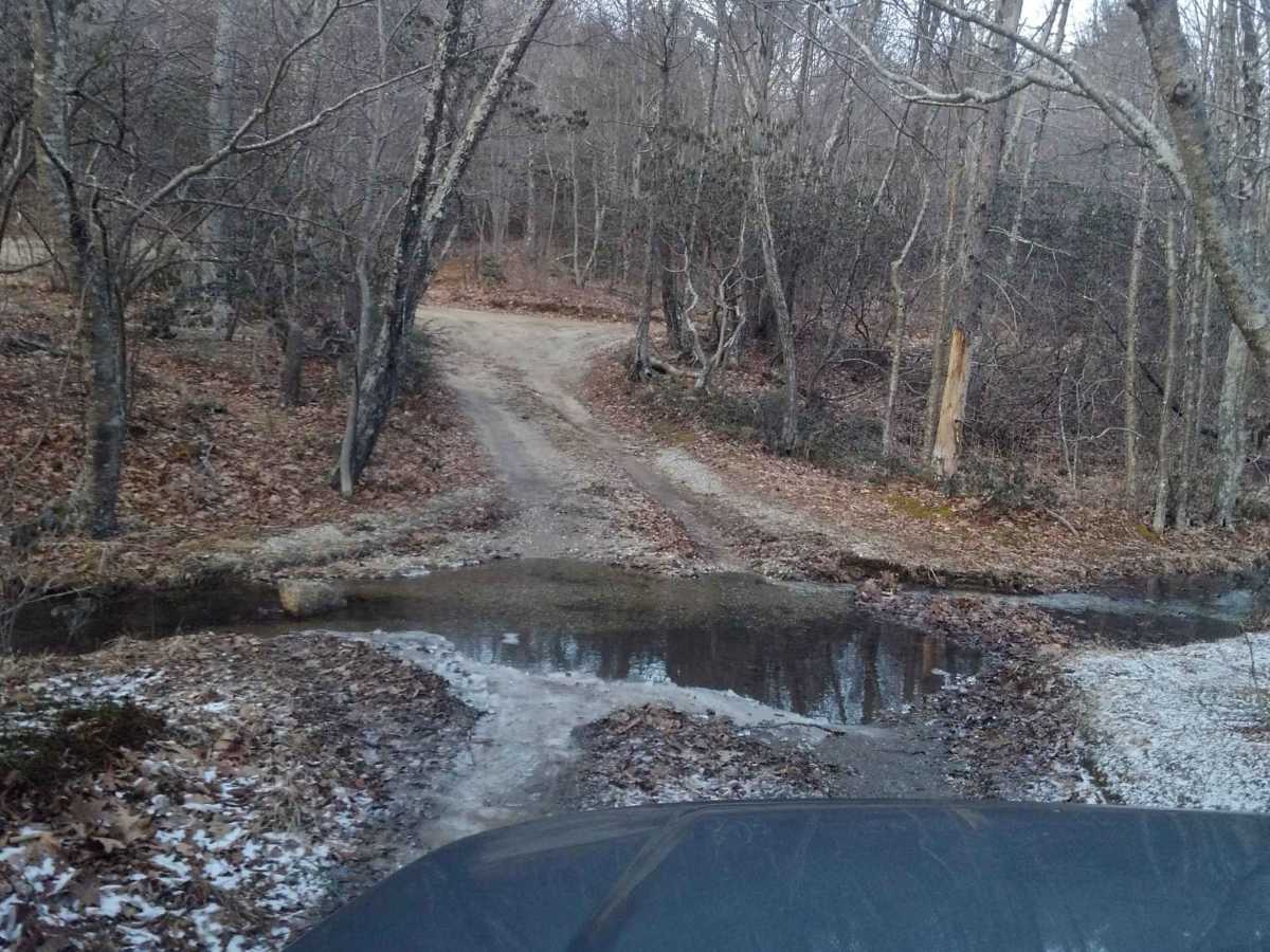
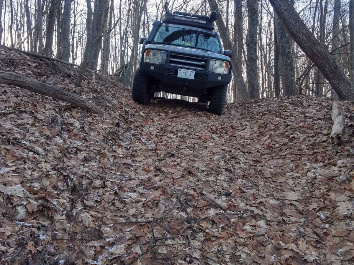
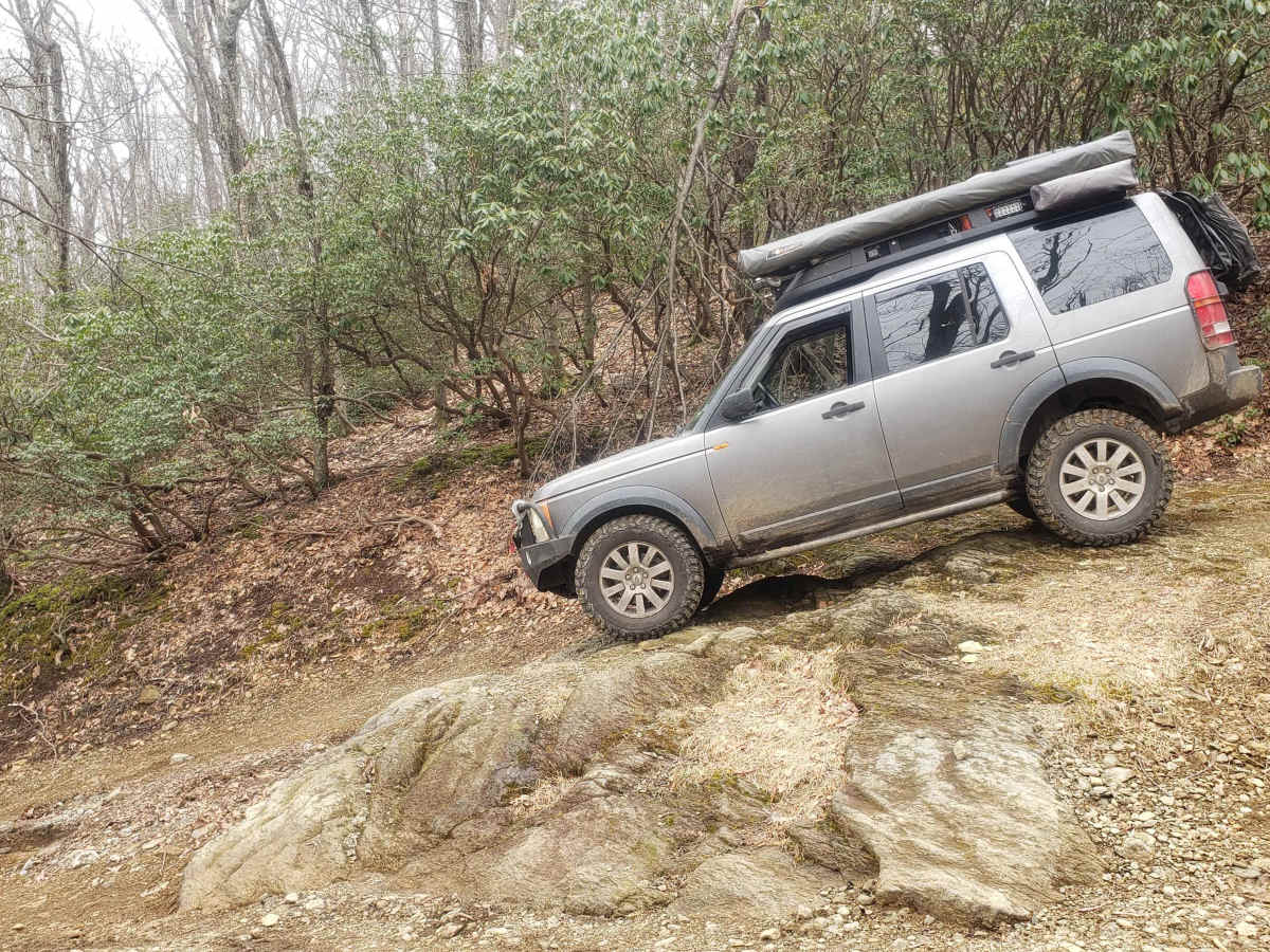
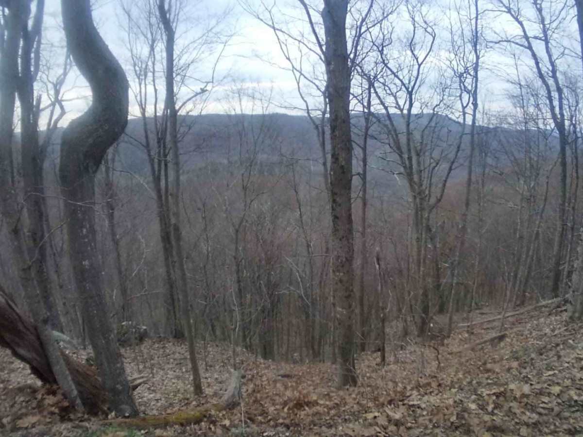
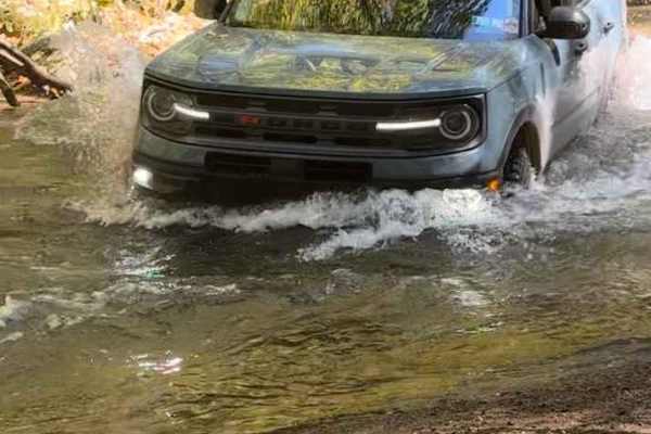
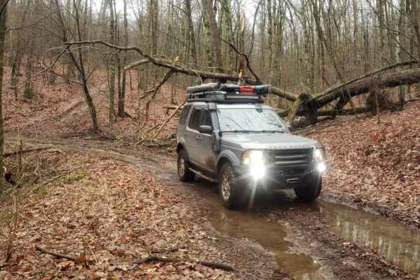
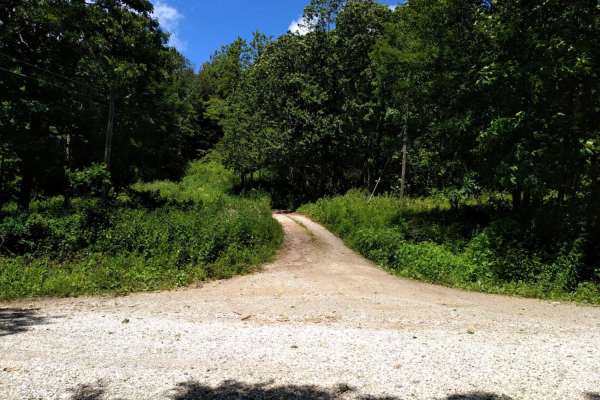
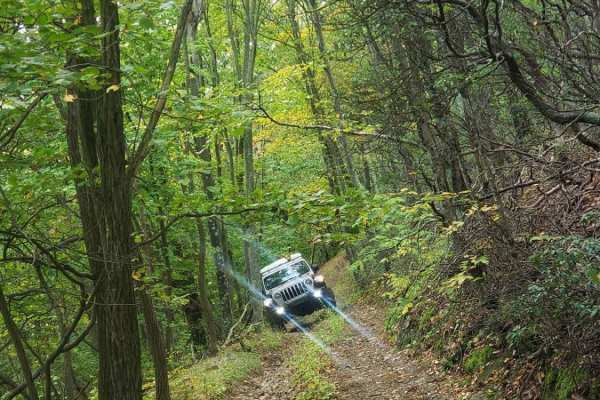
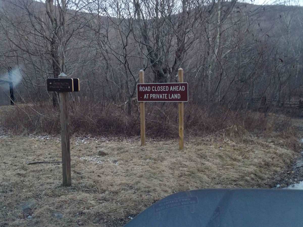
Crabtree Meadows is a scenic 5.1-mile point-to-point offroad trail in Virginia's George Washington National Forest that is ideal for stock high-clearance four-wheel-drive vehicles, SxSs, and dual-sport motorcycles looking for a mix of gravel and rocky terrain. Starting from State Route 56, the route winds through dense forest, climbing from 2,574 feet to a peak elevation of 3,336 feet. The first half of the route features a relatively well-maintained gravel surface leading to the upper trailhead parking lot for Crabtree Falls, which requires careful navigation through a couple of shallow water crossings with loose rock. Beyond the parking area, the trail transitions to an unmaintained, rocky natural surface that demands more attention to tire placement as it descends toward the closed gate at the private property boundary. Multiple spacious dispersed camping sites are scattered along the road, making it an excellent destination for weekend overlanding trips. The Appalachian Trail intersects the route, providing exceptional hiking opportunities right from your campsite. Offroaders should plan ahead, as there is absolutely no cellular service in this remote mountain drainage, and the trail ends at a locked gate that once connected to the southern portion of Shoe Creek Trail. Pack out all trash and check local forestry conditions before departing, especially during wet winter months when rocks can become slick and water crossings may swell.

Photos of Crabtree Meadows

Difficulty

Half rough gravel and half unmaintained rocky

Technical Rating

3

Status Reports

Add Status Report
catcher olive
May 26, 2026
Open
Muddy/Wet
Nice easy road some rocks and a couple of water passage ways till you get in the end towards shoe creek and shoe creek turns hard fairly quick
Paul Klauser
Mar 29, 2026
Open
Normal
Leslie Grande
Mar 22, 2026
2015 Jeep Wrangler
Open
Normal
Super clear, little muddy from falls. Passed maybe 2 vehicles. Not congested at all. Some loose trees that have been moved, make for good obstacles if you’d like.
John M
Mar 15, 2026
Open
Normal
Downed tree is now winched out of the way. The trail is open and in good condition.
Robbie Therrien
Feb 26, 2026
Obstructed
Downed Tree
About halfway through trail there was a small downed tree. I didn’t have my saw on me so I couldn’t remove it. Most of the trail was clear but there is a decent amount of snow. Gorgeous view!
Darin Jackson
Dec 06, 2025
2025 Jeep Wrangler
Open
Snow/Ice
Very slick with the snow but fun and beautiful
Jose Martinez
Aug 30, 2025
Open
Normal
Pretty clear no much to see, the end of the trail is closed to Shoe Creek.
Nathan Williams
Jun 21, 2025
2024 Jeep Wrangler
Open
Normal
Very easy trail leading to the upper parking area for Crabtree falls. Definitely a 1/10; saw an older Toyota Corolla at the end. Trail is a maintained fire road. This trail leads to the upper portion of Shoe Creek (past the parking area) which is considerably more difficult. Shoe Creek is a solid 3/10
sebastian barberena
Jun 08, 2025
2024 Jeep Compass
Open
NormalMuddy/Wet
A little tougher than expected but it was fun. Unfortunately the trail it connects to is closed with a gate. The only way out was to turn around and go back the same way.
Chris Blankenship
Apr 13, 2025
2020 Jeep Gladiator
Open
Normal
Really a 2 rated trail but there are a few places you can take a tougher line to make it more of a 3.
Mason Wickstrom
Feb 15, 2025
Open
Snow/Ice
Super slushy, I couldn’t make it up at a certain point and had to turn around. Would have been very easy if there wasn’t so much snow
Rob Alexander
Dec 14, 2024
2022 Ford Bronco
Obstructed
Downed Tree
Downed tree shortly after the parking lot, after the two rocky obstacles.
Rylee a
Nov 29, 2024
Open
NormalMuddy/Wet
Hampton C
Nov 09, 2024
2006 Land Rover LR3
Open
Normal
Super easy until after the parking area a few miles in, then very legit! Currently you can NOT continue on to the next trail due to closed gate.
Engel C
Oct 11, 2024
2024 Subaru Outback
Open
Normal
Barely any other people pass the little creek crossing and the trailhead parking lot.

Crabtree Meadows Trail can be accessed by the following ride types:

  • High Clearance
  • Full Width

Access Description

This route is located within the George Washington National Forest and is free to access with no permits required for driving or dispersed camping. High-clearance four-wheel-drive vehicles or SxSs are recommended beyond the upper parking lot due to rocky, unmaintained conditions. There is no cell service anywhere along the route, and the trail ends at a locked gate at private property, requiring visitors to return the way they came.

Crabtree Meadows Map

The onX Offroad Difference

onX Offroad combines trail photos, descriptions, difficulty ratings, width restrictions, seasonality, and more in a user-friendly interface. Available on all devices, with offline access and full compatibility with CarPlay and Android Auto. Discover what you're missing today!

Open Trail Map