Trail Overview
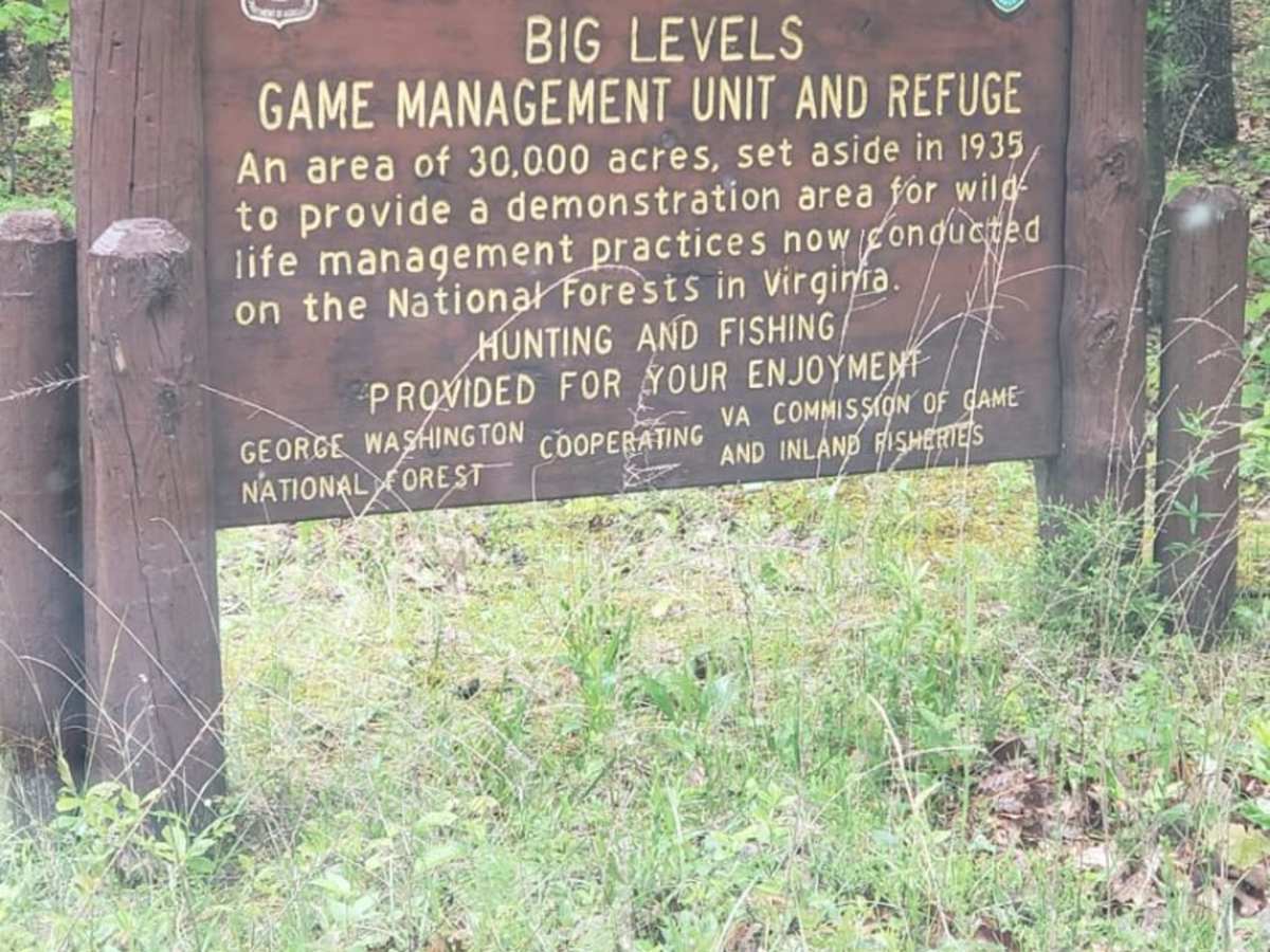
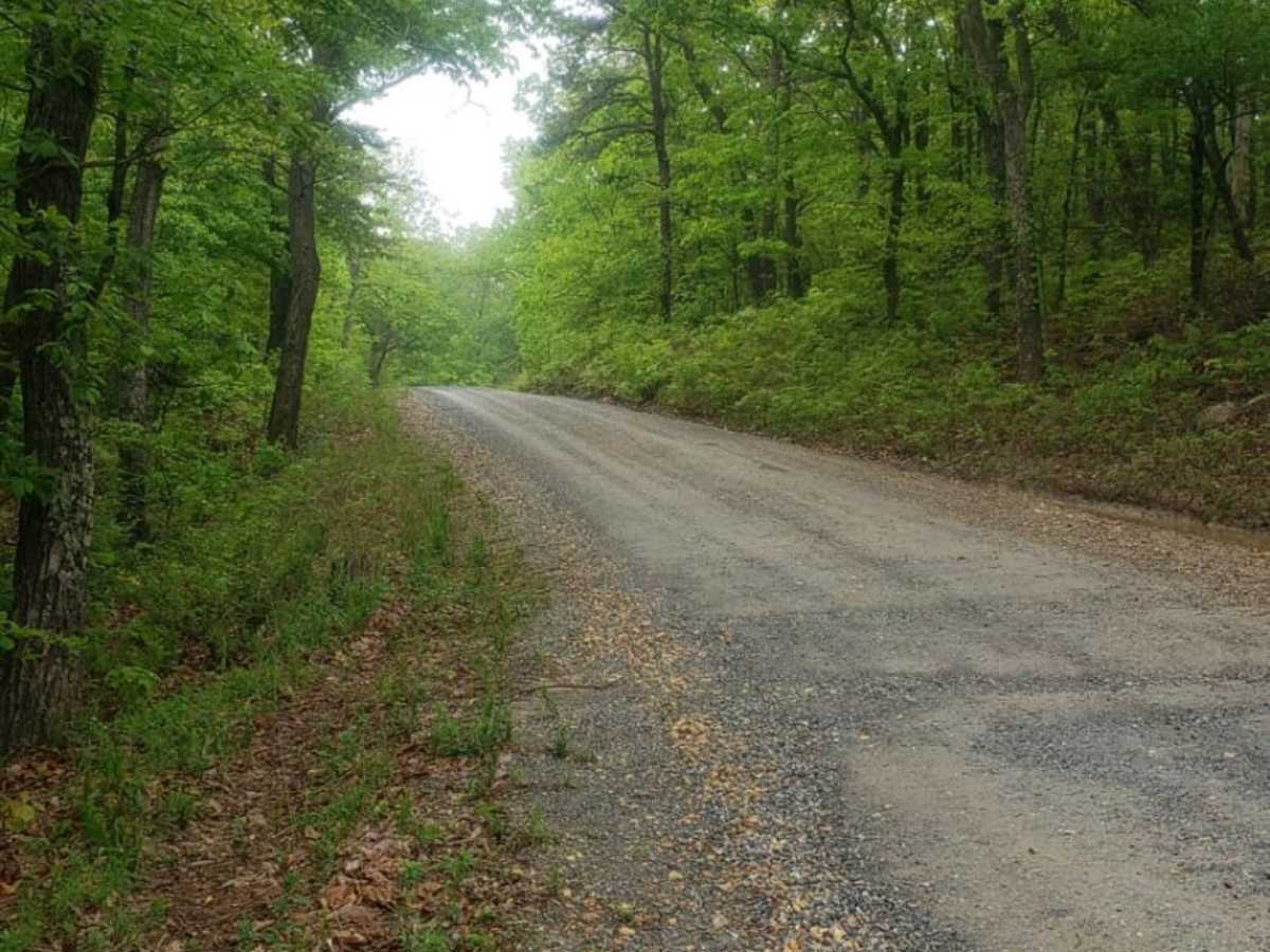
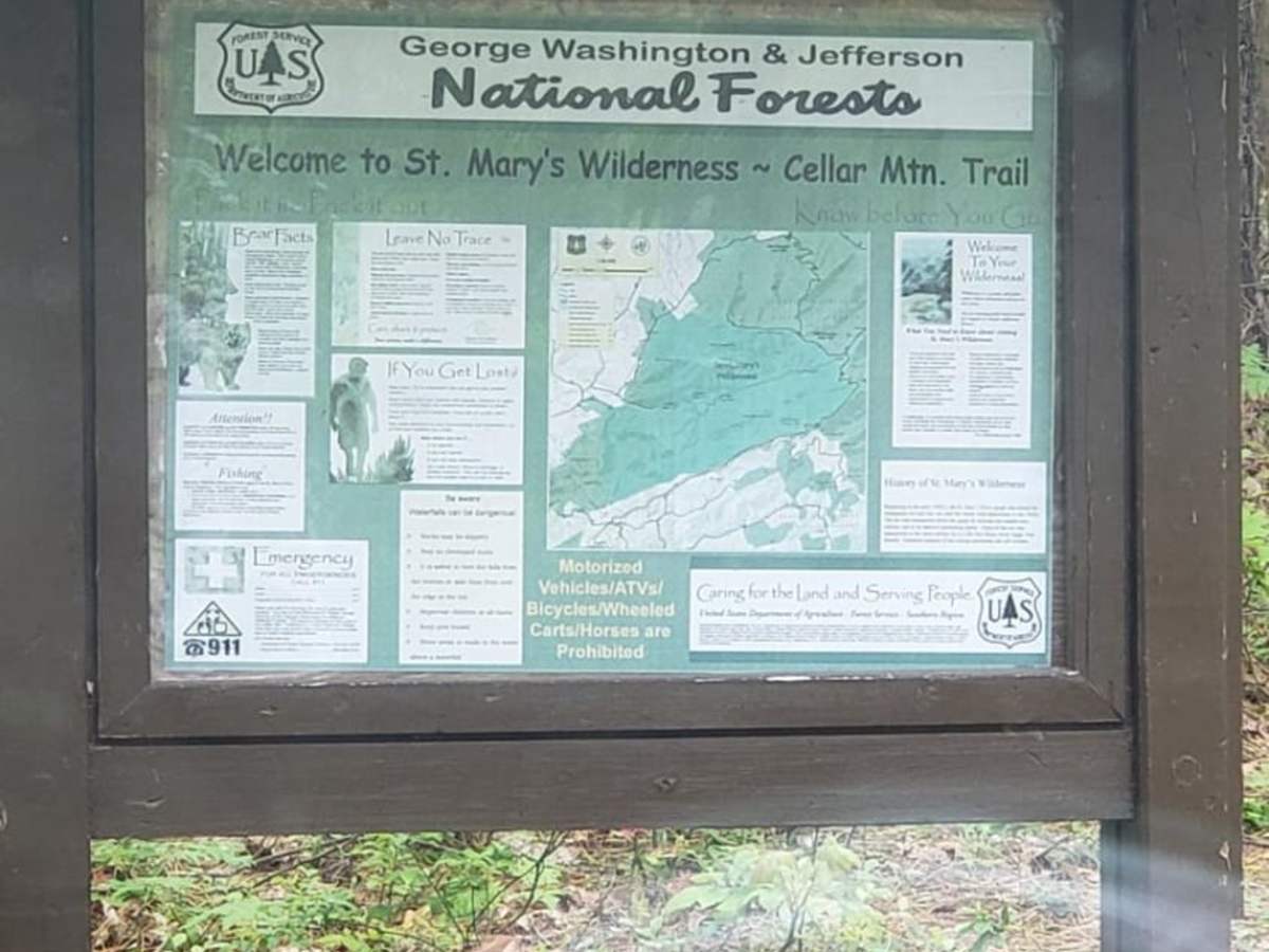
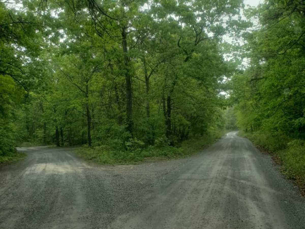
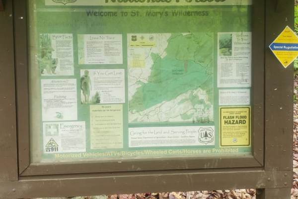
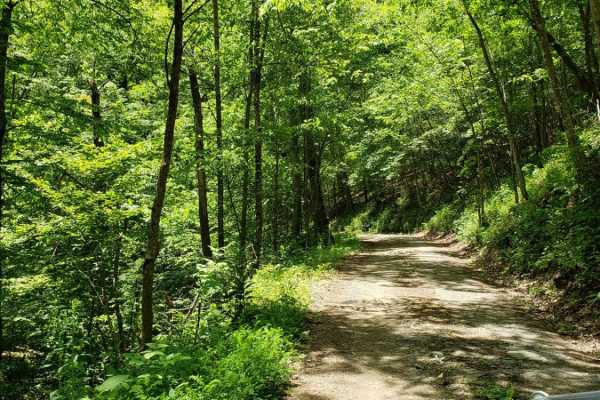
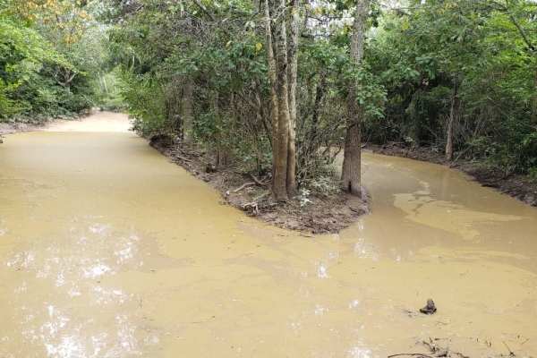
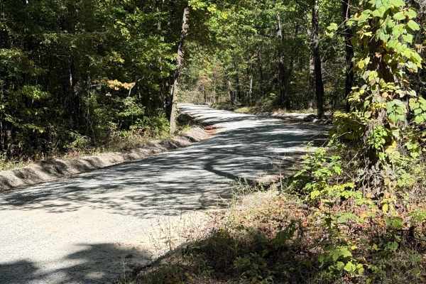
Coal Road is an easy, scenic 13.3-mile forest service corridor in the George Washington National Forest, perfect for beginners, scenic drivers, and recreationists seeking access to nearby trailheads. This well-maintained route features a mix of asphalt on both ends and graded gravel throughout the middle section, meaning any standard two-wheel-drive passenger car, high-clearance vehicle, or overland setup can navigate it with ease. Running generally west to east, the road starts at an elevation of approximately 1,545 feet and reaches a peak of 2,088 feet, winding gently along the base of Cellar Mountain and Bare Mountain while offering a low technical barrier. Along the drive, visitors will find convenient access points for hiking and mountain biking trails, most notably the Cellar Mountain trailhead, making it a great base camp for multi-sport adventures.
The route serves as a critical connector in the Sherando area, linking drivers to seasonal off-road routes like the Bald Mountain Jeep Trail and the Turkey Pen Trail, which cater to more capable four-wheel-drive rigs and SxSs. An intersection near the middle of the trail connects directly to the town of Stuarts Draft, providing an easy option for refueling, grabbing supplies, or checking out nearby walk-in campsites, though only a handful of these campsites are accessible by vehicle. Cell service is generally reliable but can be spotty in low-lying drainages, so downloading offline maps is recommended before leaving the paved roads near Sherando Lake or Shenandoah Acres. The road supports two-way traffic, requiring drivers to stay alert for oncoming vehicles, mountain bikers, and hikers sharing the route, particularly on weekends during the peak summer and fall foliage seasons.

 Offroad