
Beginner Off-Road Trails
Near Kingsford, Michigan
Explore All Beginner Trails Near Kingsford, Michigan
Beginner Off-Road Trails Near Kingsford, Michigan
Discover the best beginner-friendly off-road trails near you. These easier, lower-rated trails are a great place to start — browse trail maps, check difficulty ratings, and find your next adventure.

Turners Grade
This trail travels from the Wisconsin-Michigan border to the outskirts of Iron Mountain. Entering the trail from the Wisconsin side, there will immediately be the remains of an old trestle bridge that has since been revamped and turned into part of the trail route. This spot is a great spot to stop ...
Learn more about Turners Grade
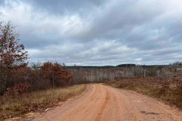
Florence County F16/6 Barrens Natural Area Trail
This trail runs from Florence County F15 north to Stateline Route 2. The trail was mapped on 11/24. If you ride north to south, this trail will navigate alongside County Rd N. The trail winds through some of the scenic and rolling landscape along the highway. It provides excellent views of the area ...
Learn more about Florence County F16/6 Barrens Natural Area Trail
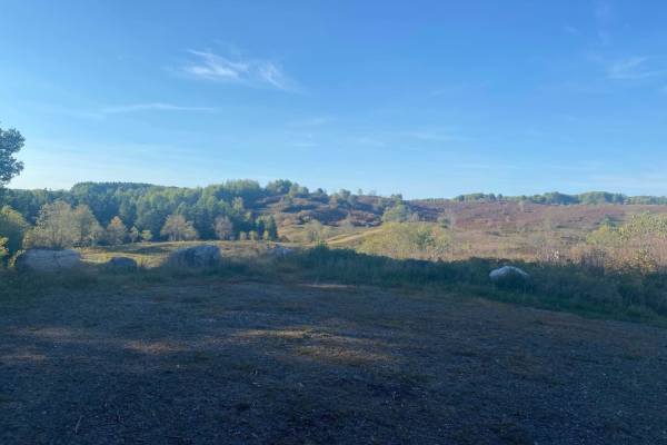
Barrens Loop
This is a twisting trail through the stunning Barrens Nature Area. This trail's surface is a lot like most other trails in this area and is made up of rocks and sand. There are several great picture opportunities along this loop and access to Sand Lake and Pine River Overlook.
Learn more about Barrens Loop
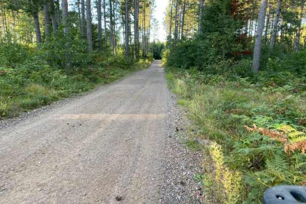
F15 Trail
The F15 Trail is an ideal route offroaders and scenic cruisers looking to explore northeastern Wisconsin's dense forests along an easy, scenic path. Stretching approximately 25 miles between the towns of Florence and Dunbar, this trail winds through lush woodlands and periodically transitions onto f...
Learn more about F15 Trail

Trail A/Carney Lake Road
After leaving the town of Iron Mountain headed north, this is the first access point to a trail and other trail systems in the area. Heading west to east, this trail will start out as gravel but quickly transition into a dirt/sandy base. Several low spots along this route will collect water. These w...
Learn more about Trail A/Carney Lake Road
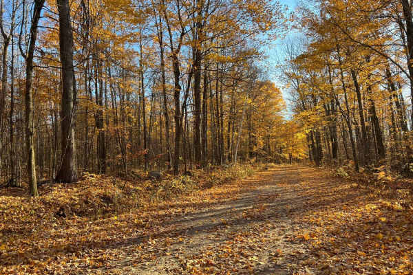
Pembine South Loop 16E/W
This trail is also known as the Bob Mischker Memorial Trail. This is Marinette County Trail 16E/W Intersections 112 to 106. This trail runs from East of the town of Dunbar, into the nearby town of Pembine. This trail travels entirely through hardwood forest, with some pines mixed in throughout. The ...
Learn more about Pembine South Loop 16E/W
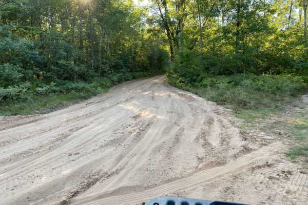
La Salle Trail
La Salle Trail runs generally north to south, and is comprised of a combination of gravel trails and forest roads. The trail begins in the south at a midway point between Goodman and Dunbar. On the north, the trail ends shortly after is passes Le Salle falls and joins back up with the F15 trail. The...
Learn more about La Salle Trail

Florence County F15 North
This is the northernmost portion of the F15 Trail. It runs from intersection 10 to 10A. This trail was mapped on 11/24. The trail surface is primarily hard-packed red clay and gravel. If traveling from south to north, this trail will begin by running through several pine forests before entering a se...
Learn more about Florence County F15 North
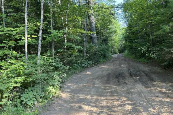
Carney Lake Road
Carney Lake Road begins at its north-western intersection with Trail A/Carney Lake Road, and travels south before its endpoint on the edge of one of the boundaries for the Crystal Falls Forest Management Unit. This trail navigates through dense mature forests for its entire length. Most sections of ...
Learn more about Carney Lake Road
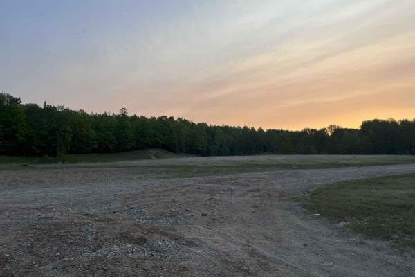
Sportsman Club Road, Trail A
This is Dickinson County Sportsman Club Road. This trail begins at its intersection with Trail A/Carney Lake Road and the paved portion of Sportsman Club Road. The trail ends at its intersection with Lyons Lake Road and Calumet Mine Road Trail A. This is a very wide, winding forest/ fire road. The e...
Learn more about Sportsman Club Road, Trail A
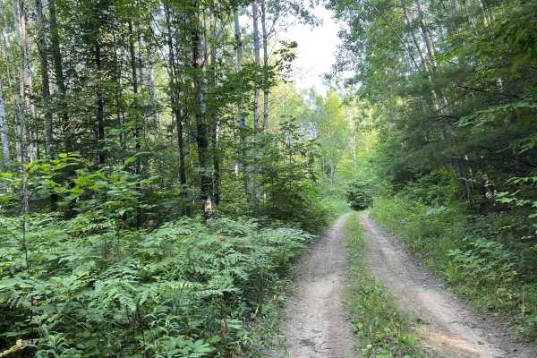
Camp Hayes Road
Camp Hays Road is located in Dickinson County, Michigan, within the Crystal Falls Forest. This runs from its intersection with Carney Lake Road and runs to Benton Lake Road South. This trail is an excellent way, along with Carney Lake Road, to quickly navigate to or from the Iron Mountain area trail...
Learn more about Camp Hayes Road
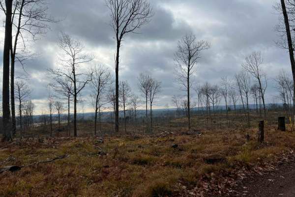
Florence County F6 Mark Peters Memorial Trail
The Florence County F6 Mark Peters Memorial Trail is an easy, scenic 3.4-mile offroad route that is perfect for riders of all skill levels looking to explore the beautiful landscapes of northeastern Wisconsin. Running through the northwestern portion of the Spread Eagle Barrens State Natural Area, t...
Learn more about Florence County F6 Mark Peters Memorial Trail
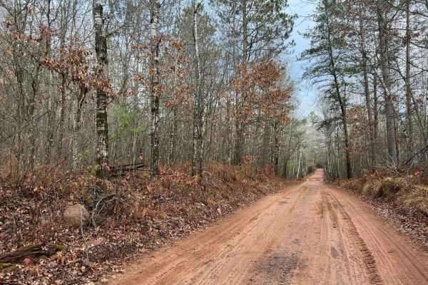
Florence County F15
This trail is a continuation of Marinette County Trail 5 and the official starting point for Florence County F15. It runs from intersection marker 9 to 10/10A. The scenery on this trail is excellent as it winds through some very picturesque Florence County Forest. This trail will run to the start of...
Learn more about Florence County F15
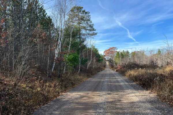
Marinette County Spur Lake Road F5 Trail
This is the Marinette/ Florence County F5 to F12 Spur Lake road trail. This is a fast-paced trail for the first several miles if traveling east to west. The trail surface in this section is mostly sand, with some small rocks mixed in throughout. The trail is long and straight, with excellent sightli...
Learn more about Marinette County Spur Lake Road F5 Trail
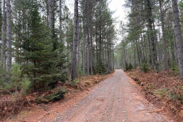
Florence County F2 Lake Emily
This seven-mile stretch of trail runs along part of the Florence County F2 Trail. Starting at Intersection 18 and ending at Intersection 17. If traveling from Intersection 17 North, this trail will begin as hard-packed clay/ gravel, much like what many other trails in the area offer. Certain spots o...
Learn more about Florence County F2 Lake Emily
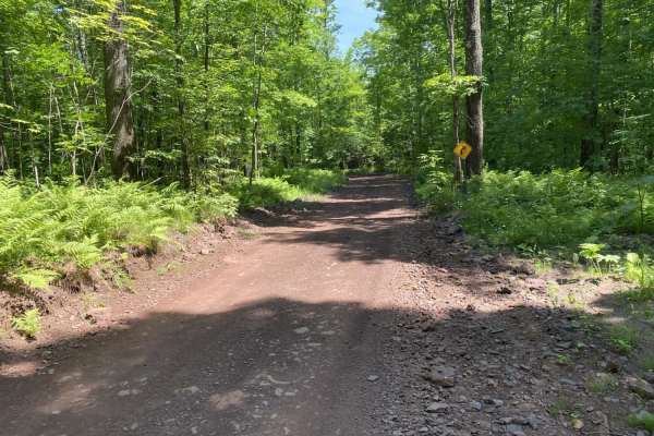
Lake Emily to Spread Eagle
This scenic 14-mile route from Lake Emily to Spread Eagle is an ideal, easy-going ride for families and off-road beginners looking to explore the beautiful, densely forested landscape of Florence County. Characterized by wide, winding trails with a technical rating of 1, the route is extremely acces...
Learn more about Lake Emily to Spread Eagle
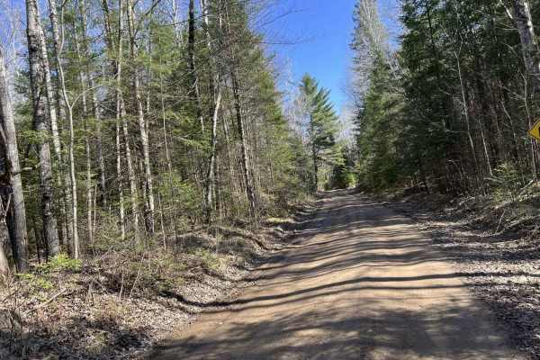
Benton Lake Road South
This is Benton's Lake Road southern run. This trail starts at its southern intersection with District 5 Rd, and travels north just past Benton Lake. This trail begins as a dirt two-track, before opening up slightly to just under two vehicles wide for a short period before transitioning back into two...
Learn more about Benton Lake Road South
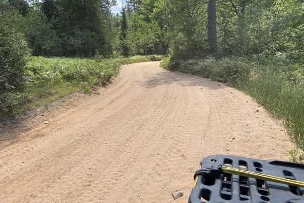
Keyes Lake Loop
This is a short loop around Keyes Lake that can be used to go to several bars and restaurants in the area. Mainly road routes with several sand and gravel sections connecting them. Bars on this route, as of July 2020, include Annie's Trading Post, Leff's, Northern Lites, as well as the Keyes Lake Ca...
Learn more about Keyes Lake Loop
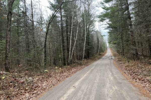
White Birch/ Firelane Road
This gravel road runs north to south, providing quick and convenient access to the La Salle Falls trail/ La Salle Falls road if traveling from the south. This trail has excellent sight lines since there is a lack of sharp corners. This trail still offers a good bit of scenery to look at while drivin...
Learn more about White Birch/ Firelane Road
Florence County F6 North Horseshoe
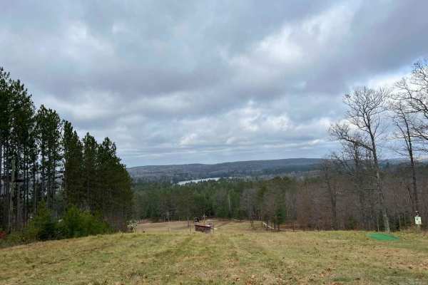
This trail is a part of the Florence County F6 Trail. It is a newer trail not currently on the official ATV/SXS trail map as of 11/24. It is a small horseshoe that runs from intersection 18 to 19. This trail is very scenic, offering a lookout spot located 1/4Mi south of the intersection 18 trailhead...
Learn more about Florence County F6 North Horseshoe
Beginner ATV trails near Kingsford, Michigan
Explore ATV-friendly trails near you. These trails are accessible for vehicles up to 50 inches wide, perfect for ATVs and smaller off-road machines.
Turners Grade
This trail travels from the Wisconsin-Michigan border to the outskirts of Iron Mountain. Entering the trail from the Wisconsin side, there will immediately be the remains of an old trestle bridge that has since been revamped and turned into part of the trail route. This spot is a great spot to stop ...
Learn more about Turners Grade
Florence County F16/6 Barrens Natural Area Trail
This trail runs from Florence County F15 north to Stateline Route 2. The trail was mapped on 11/24. If you ride north to south, this trail will navigate alongside County Rd N. The trail winds through some of the scenic and rolling landscape along the highway. It provides excellent views of the area ...
Learn more about Florence County F16/6 Barrens Natural Area Trail
Barrens Loop
This is a twisting trail through the stunning Barrens Nature Area. This trail's surface is a lot like most other trails in this area and is made up of rocks and sand. There are several great picture opportunities along this loop and access to Sand Lake and Pine River Overlook.
Learn more about Barrens Loop
F15 Trail
The F15 Trail is an ideal route offroaders and scenic cruisers looking to explore northeastern Wisconsin's dense forests along an easy, scenic path. Stretching approximately 25 miles between the towns of Florence and Dunbar, this trail winds through lush woodlands and periodically transitions onto f...
Learn more about F15 Trail
Beginner UTV/side-by-side trails near Kingsford, Michigan
Find UTV and side-by-side trails near you. These trails accommodate vehicles up to 60 inches wide, ideal for UTVs, side-by-sides, and wider off-road rigs.
Turners Grade
This trail travels from the Wisconsin-Michigan border to the outskirts of Iron Mountain. Entering the trail from the Wisconsin side, there will immediately be the remains of an old trestle bridge that has since been revamped and turned into part of the trail route. This spot is a great spot to stop ...
Learn more about Turners Grade
Florence County F16/6 Barrens Natural Area Trail
This trail runs from Florence County F15 north to Stateline Route 2. The trail was mapped on 11/24. If you ride north to south, this trail will navigate alongside County Rd N. The trail winds through some of the scenic and rolling landscape along the highway. It provides excellent views of the area ...
Learn more about Florence County F16/6 Barrens Natural Area Trail
Barrens Loop
This is a twisting trail through the stunning Barrens Nature Area. This trail's surface is a lot like most other trails in this area and is made up of rocks and sand. There are several great picture opportunities along this loop and access to Sand Lake and Pine River Overlook.
Learn more about Barrens Loop
F15 Trail
The F15 Trail is an ideal route offroaders and scenic cruisers looking to explore northeastern Wisconsin's dense forests along an easy, scenic path. Stretching approximately 25 miles between the towns of Florence and Dunbar, this trail winds through lush woodlands and periodically transitions onto f...
Learn more about F15 Trail
The onX Offroad Difference
onX Offroad combines trail photos, descriptions, difficulty ratings, width restrictions, seasonality, and more in a user-friendly interface. Available on all devices, with offline access and full compatibility with CarPlay and Android Auto. Discover what you're missing today!
Open Trail Map