
Beginner Off-Road Trails
Near Jackson, Kentucky
Explore All Beginner Trails Near Jackson, Kentucky
Beginner Off-Road Trails Near Jackson, Kentucky
Discover the best beginner-friendly off-road trails near you. These easier, lower-rated trails are a great place to start — browse trail maps, check difficulty ratings, and find your next adventure.
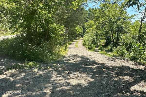
Silver Creek - Playground Area
This is a part of the unmaintained county road, Maple Grove Road. This trail travels along Silver Creek and has many offshoots and playground areas. Large mud holes, hill climbs, the wall, and other fun places to flex your ride or take your rig. Going too far off the trails, you can find No Trespass...
Learn more about Silver Creek - Playground Area
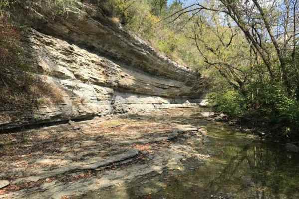
Jackson Branch - Power Lines
From the mouth of Jackson Branch at Silver Creek, you will ascend a narrow rock trail to the power line clearing and travel down Woodland Heights Road, or you can travel in the opposite direction as well. This route has a scenic overhanging rock cliff or cascade. Along the route are several old barn...
Learn more about Jackson Branch - Power Lines
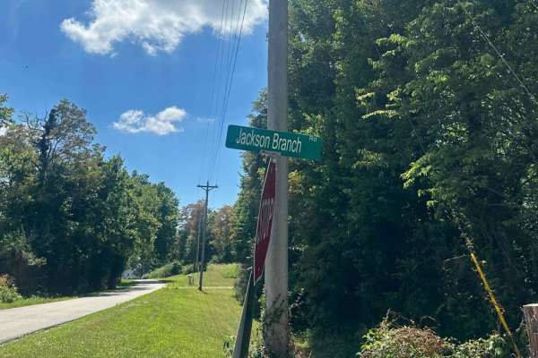
Jackson Branch Road
This county road is an unmaintained route that connects the community of Baldwin to Newby. It has one small creek crossing and has a rock and gravel surface. Taking this route will easily connect you with other trails in the area. Each side of this road is private property. You can find shade and pl...
Learn more about Jackson Branch Road
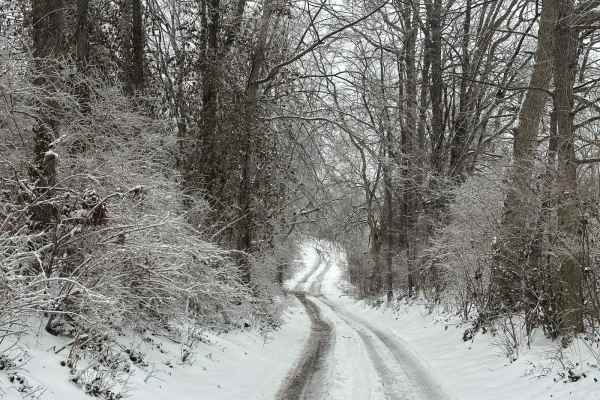
Bogie Mill - Eddington
This trail runs between Newby and Bogie Mill. It is known locally as Eddington Lane or Newby Road. This trail will take you right into Silver Creek, with beautiful farmland and a covered bridge nearby down Bogie Mill Road. There are several other trails in the area, and this one will be one of the e...
Learn more about Bogie Mill - Eddington
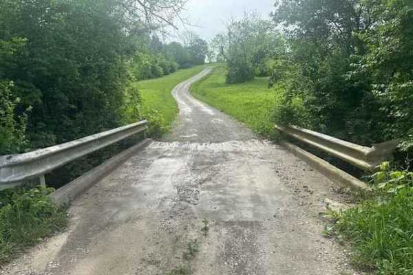
Hancock Taylor Lane
A scenic gravel lane travels through part of the Eastern Kentucky University campus. This trail goes through farmland to reach the Taylor Fork Ecological Area. Along the way, you will see wildlife, remnants of old farm implements, and training facilities of the Fire & Safety Program at EKU. Also, to...
Learn more about Hancock Taylor Lane
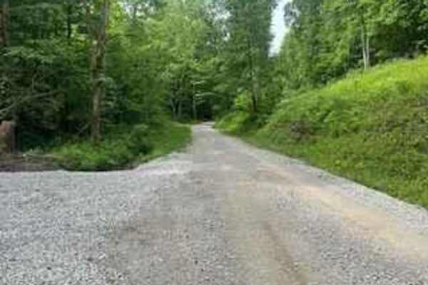
Wolf Creek Road
Wolf Creek Road follows Wolf Creek between Climax and Orlando, Kentucky. It's a county road and part of the Daniel Boone Backcountry Byway. It's a well-maintained gravel road with a lot of shade and areas of small creeks and streams to enjoy as you drive.
Learn more about Wolf Creek Road

Simon Hill Road
This is a shortcut between Daughtery Rd, and New Hope on the DBBB. It is short, but has a steep descent towards Crooked Creek Road. It is a tight, rocky trail with some off-camber areas that can potentially push into the hillside. This is a great cut-through that saves a 30-minute drive on pavement ...
Learn more about Simon Hill Road
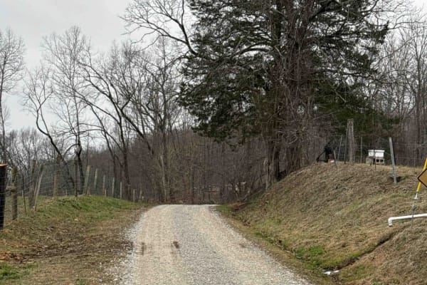
Sand Gap Road (FSR 731)
This is a dead-end Forest Service road. It likely has spectacular fall foliage, and there is a small cave entrance labeled on the Forest Service map. The "cave entrance" is less than expected, with litter and beer bottles spread around the area. Otherwise, this is a simple out-and-back trail with a ...
Learn more about Sand Gap Road (FSR 731)
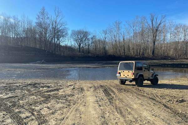
Oil Center WMA Main Via Ringgold Road
Note that this trail is impassable during high pool seasons of Lake Cumberland, from around March to October. Exercise caution and observe the water level. This route provides access through one of four roads to the Lake Cumberland WMA at Oil Center. Please keep in mind that this area is maintained ...
Learn more about Oil Center WMA Main Via Ringgold Road
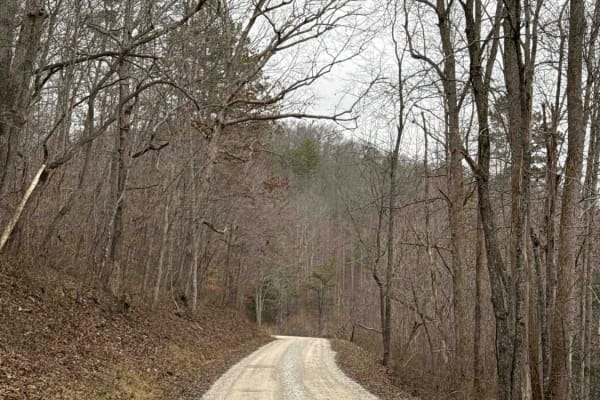
Henry Mountain Road
This is a beautiful gravel road that leads to a walking trail for the old cottage furnace. It is an easy gravel road with beautiful trees and wildlife. There are a few other side roads that are just as scenic.
Learn more about Henry Mountain Road
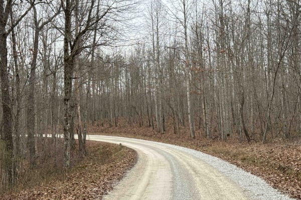
Clover Bottom Creek Road
There are lots to see on this trail. It is a fairly well-maintained gravel road. It does have 2 water crossings, one that is fairly shallow and one that can be over a foot deep. There are places to pass oncoming vehicles without too much backing up. Full of hemlock and beech tree groves and a windin...
Learn more about Clover Bottom Creek Road
Lawrence Phillips Road to Carpenter Ridge (FSR 453)
This portion of trail has some steep descents and ascents and some mild water crossings. This trail is a part of the Kentucky Adventure Trail and is labeled with an arrow on the south side of this trail. This trail will require 4WD, especially in wet conditions.
Learn more about Lawrence Phillips Road to Carpenter Ridge (FSR 453)

Dry Fork School Road
A nice gravel road that has a few beaver ponds, large open fields, and dense forested areas. It is a great way to gain access to a nice camping spot on Daughtery Road without having to have high clearance. It is a great road for vehicles to see some of the lower backcountry around the S-Tree area.
Learn more about Dry Fork School Road
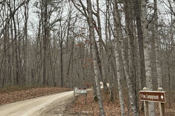
S-Tree Tower Road (FSR 100)
Part of the Kentucky Adventure Trail Main 1 Section, this heavily forested section is a must-see. This trail winds through groves of hemlock forests and runs alongside Racoon Creek. It has a small water crossing and is otherwise a well-maintained graveled Forest Service road.
Learn more about S-Tree Tower Road (FSR 100)
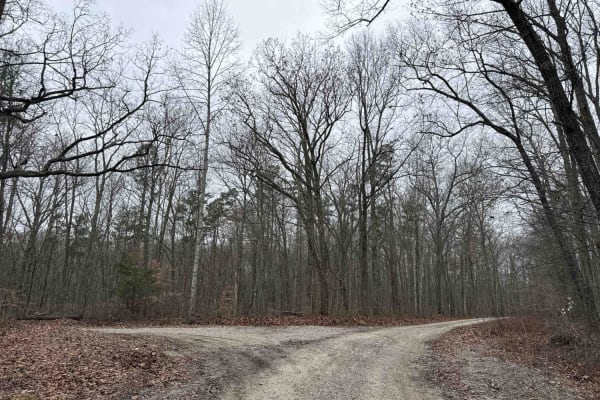
Bear Gap Road (FSR 431)
This is a well-maintained gravel Forest Service road leading from S-tree Campground and connecting Tussey Hill Road. This trail leads along the top of the ridge and leads to a gated dead end. It is a nice connector road that is spectacular in the fall. It connects both a portion of the DBBB and the ...
Learn more about Bear Gap Road (FSR 431)
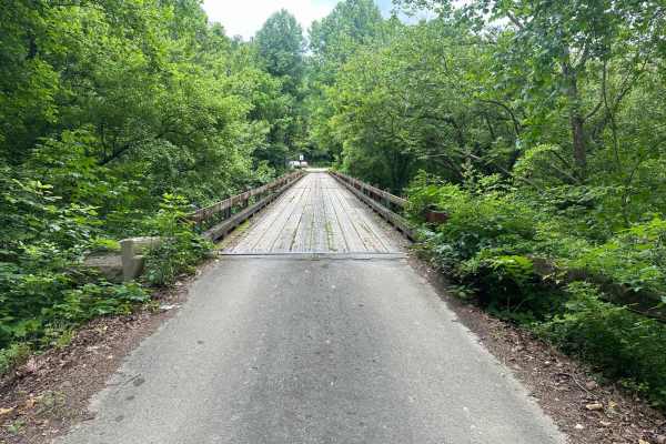
White Oak Branch Road - Horse Lick Creek
The trail starts as a gravel route and turns into rock, dirt, and mud. It is not very technical, but when wet, the slick mud and small ruts may cause hazards in some areas. Crossing the creek may be deep at some times in the season, and it is usually, on average, 18-20 inches deep.
Learn more about White Oak Branch Road - Horse Lick Creek
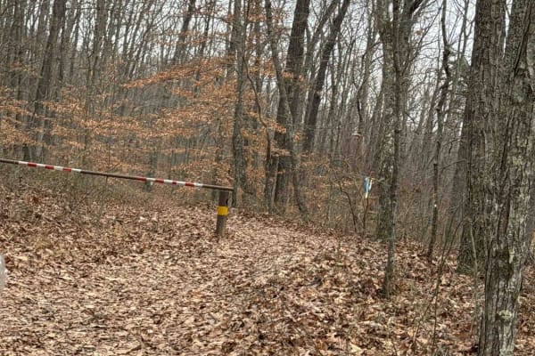
S-Tree Road (FSR 20-1)
This is a well-maintained gravel Forest Service road; a small portion lies along the Daniel Boone Backcountry Byway and the Kentucky Adventure Trail Main 1. This trail can be accessed from several of the trails leading away from McKee. It ends with a nice campground that has a nice picnic table and ...
Learn more about S-Tree Road (FSR 20-1)
Tussey Hill Road
This is a very well-maintained gravel road that includes a portion of the Kentucky Adventure Trail Main 1 Trail. This road is mostly gravel with a portion closer to Bear Gap Road being a little more muddy and not as well maintained. This trail leads to S-Tree Campground, which has nice camp spots f...
Learn more about Tussey Hill Road
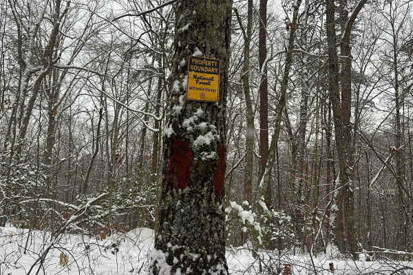
Wood Creek Lake - FS 4094
Wood Creek Lake - FS 4094 trail is off of Cromer Ridge Road or Rockcastle River Forestry Road is a gravel, rock, and dirt trail road that is somewhat maintained by the forest service. This road runs along some ridge lines with good views as it goes down into some low hollers as well, ending at Wood ...
Learn more about Wood Creek Lake - FS 4094
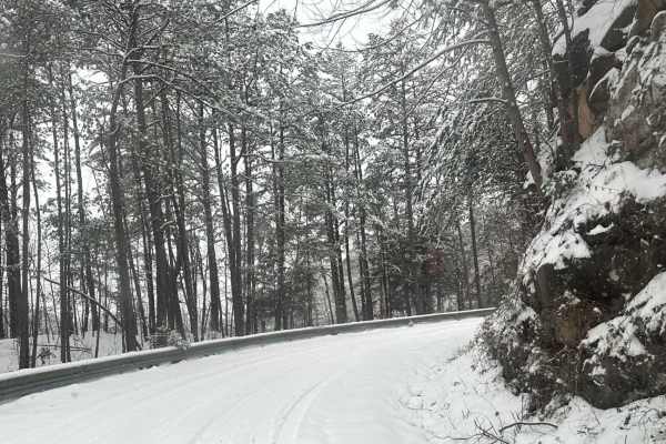
Cromer Ridge - 909
Cromer Ridge Road or Rockcastle River Forestry Road is a gravel, rock, and dirt trail road that is somewhat maintained by the forest service. This road runs along some ridge lines with good views as well as goes down into some low hollers as well, ending at the Rockcastle River.
Learn more about Cromer Ridge - 909
Beginner ATV trails near Jackson, Kentucky
Explore ATV-friendly trails near you. These trails are accessible for vehicles up to 50 inches wide, perfect for ATVs and smaller off-road machines.
Silver Creek - Playground Area
This is a part of the unmaintained county road, Maple Grove Road. This trail travels along Silver Creek and has many offshoots and playground areas. Large mud holes, hill climbs, the wall, and other fun places to flex your ride or take your rig. Going too far off the trails, you can find No Trespass...
Learn more about Silver Creek - Playground Area
Jackson Branch - Power Lines
From the mouth of Jackson Branch at Silver Creek, you will ascend a narrow rock trail to the power line clearing and travel down Woodland Heights Road, or you can travel in the opposite direction as well. This route has a scenic overhanging rock cliff or cascade. Along the route are several old barn...
Learn more about Jackson Branch - Power Lines
Jackson Branch Road
This county road is an unmaintained route that connects the community of Baldwin to Newby. It has one small creek crossing and has a rock and gravel surface. Taking this route will easily connect you with other trails in the area. Each side of this road is private property. You can find shade and pl...
Learn more about Jackson Branch Road
Bogie Mill - Eddington
This trail runs between Newby and Bogie Mill. It is known locally as Eddington Lane or Newby Road. This trail will take you right into Silver Creek, with beautiful farmland and a covered bridge nearby down Bogie Mill Road. There are several other trails in the area, and this one will be one of the e...
Learn more about Bogie Mill - Eddington
Beginner UTV/side-by-side trails near Jackson, Kentucky
Find UTV and side-by-side trails near you. These trails accommodate vehicles up to 60 inches wide, ideal for UTVs, side-by-sides, and wider off-road rigs.
Silver Creek - Playground Area
This is a part of the unmaintained county road, Maple Grove Road. This trail travels along Silver Creek and has many offshoots and playground areas. Large mud holes, hill climbs, the wall, and other fun places to flex your ride or take your rig. Going too far off the trails, you can find No Trespass...
Learn more about Silver Creek - Playground Area
Jackson Branch - Power Lines
From the mouth of Jackson Branch at Silver Creek, you will ascend a narrow rock trail to the power line clearing and travel down Woodland Heights Road, or you can travel in the opposite direction as well. This route has a scenic overhanging rock cliff or cascade. Along the route are several old barn...
Learn more about Jackson Branch - Power Lines
Jackson Branch Road
This county road is an unmaintained route that connects the community of Baldwin to Newby. It has one small creek crossing and has a rock and gravel surface. Taking this route will easily connect you with other trails in the area. Each side of this road is private property. You can find shade and pl...
Learn more about Jackson Branch Road
Bogie Mill - Eddington
This trail runs between Newby and Bogie Mill. It is known locally as Eddington Lane or Newby Road. This trail will take you right into Silver Creek, with beautiful farmland and a covered bridge nearby down Bogie Mill Road. There are several other trails in the area, and this one will be one of the e...
Learn more about Bogie Mill - Eddington
The onX Offroad Difference
onX Offroad combines trail photos, descriptions, difficulty ratings, width restrictions, seasonality, and more in a user-friendly interface. Available on all devices, with offline access and full compatibility with CarPlay and Android Auto. Discover what you're missing today!
Open Trail Map