
Beginner Off-Road Trails
Near Garden City, Utah
Explore All Beginner Trails Near Garden City, Utah
Beginner Off-Road Trails Near Garden City, Utah
Discover the best beginner-friendly off-road trails near you. These easier, lower-rated trails are a great place to start — browse trail maps, check difficulty ratings, and find your next adventure.
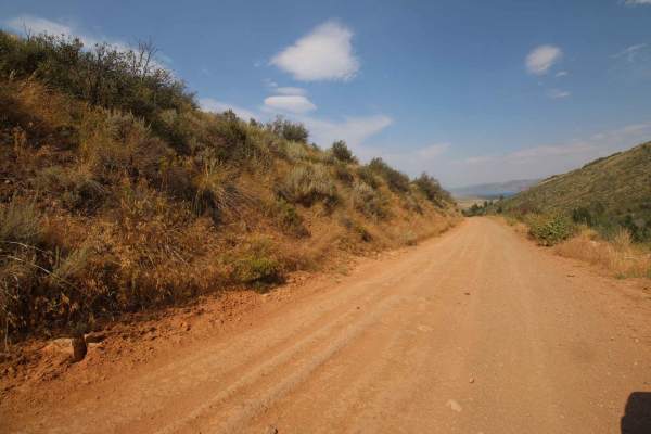
Temple Canyon
Depending on the direction of travel, this trail travels from the town of Meadowville, near Bear Lake, into Cache National Forest, or it travels from Cache National Forest to Meadowville. It is an easy drive to get from the forest down to the south end of Bear Lake and back again. Nothing technical ...
Learn more about Temple Canyon
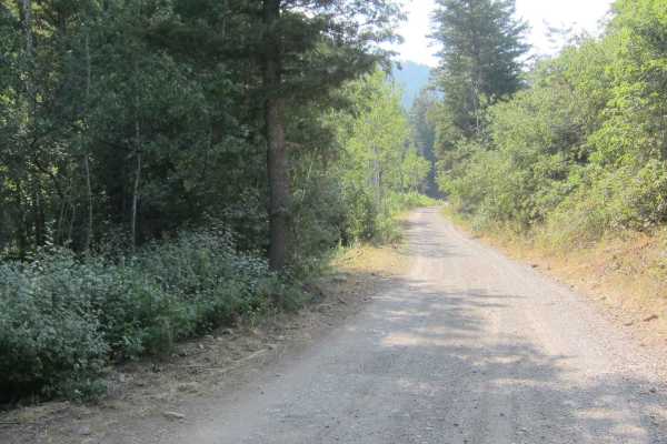
Fish Haven Canyon
This well-maintained access road is about 6.5 miles long. It begins from Fish Haven Idaho, located on the West side of the pristine shores of Bear Lake and T's into Beaver Green Canyon Road. It follows a stream and offers a variety of dispersed camping sites. Many of them are tucked away in pine and...
Learn more about Fish Haven Canyon
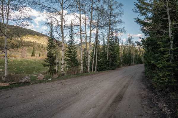
Franklin Basin Utah Section
This is a scenic full-width road that will take you to the Idaho border, where this route continues. As you progress up the basin, you will pass through forests, past the river that winds down the valley, and many campsites along the road. There are places to easily access the river along the route....
Learn more about Franklin Basin Utah Section
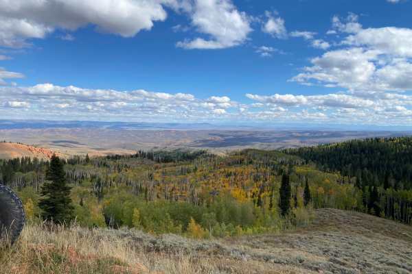
Randolph to Peter Sinks Road
This route is a great spur-off from the Hardware Ranch to Bear Lake Trail. The trail allows an easy and less traveled route into the Peter Sinks area from the small and quaint town of Randolph. The views are expansive and the area offers plenty of other trails to venture on.
Learn more about Randolph to Peter Sinks Road
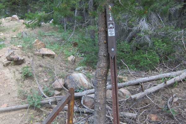
Red Sinks
This is a 50" trail that offers a good variety of heavily forested areas and summits out on top with amazing views to the East down to Bear Lake. It also winds through fields of vegetation and sagebrush that undulates through a couple of saddles on the ridge of the mountain range.
Learn more about Red Sinks
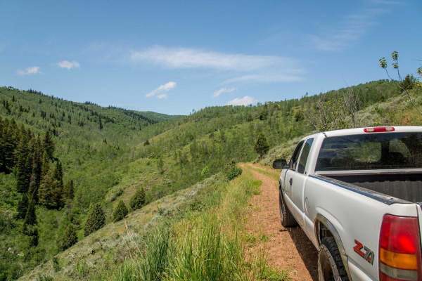
Twin Creeks Road to Bubble Spring
Twin Creeks is a great little spot in Logan Canyon that is also one of the least visited areas in the canyon. The dirt road is open to all vehicles, but is rarely driven. A car would not make it, but most any 4x4 high-clearance vehicle could. Any ATV or dirt bike could do the trail with ease, and wo...
Learn more about Twin Creeks Road to Bubble Spring
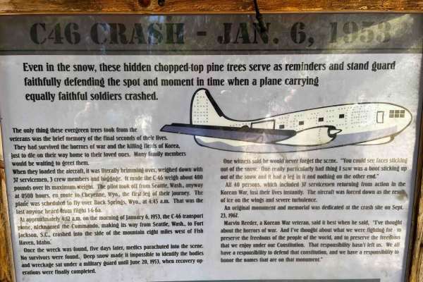
C-46 Plane Crash Site
Near Beaver Mountain Ski Resort begins a route that hugs the outline of Beaver Creek. Near the top of the canyon, it swings out southeasterly by Beaver Creek Campground and then winds up a short canyon trail to the location where a C-46 carrying 37 servicemen and 3 crew members returning from the Ko...
Learn more about C-46 Plane Crash Site
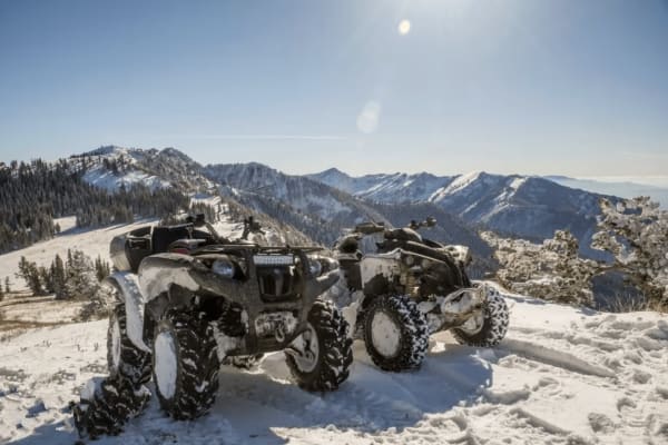
Boss Canyon
Boss Canyon is a highly scenic, 50-inch-width-restricted trail offering riders an immersive journey through dense pine forests and over the Idaho-Utah state line. Starting off the Franklin Basin Road between Logan Canyon, Utah, and Cub River, Idaho, this route is ideal for dirt bikes, ATVs, and narr...
Learn more about Boss Canyon
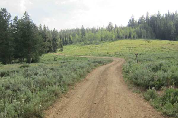
Big Creek Lake
This is a 1.5-mile spur off of Beaver Creek Canyon Road. It offers a few good vistas over Egan Basin and has a few terrain sections that are slightly challenging, but provide variety and interest to the route. Although this is mostly a smooth and clean trail, it is on a dirt and clay road that quick...
Learn more about Big Creek Lake
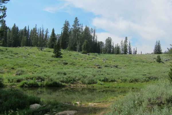
Old Logan Road
This route is mostly an extension of the Peter Sinks geographic formation carved in an elongated bowl shape from glacial activity near the summit of the mountain range. The result is a miles-long pastoral-like swath of land that affords breathtaking views of green vegetation slowly transitioning to ...
Learn more about Old Logan Road
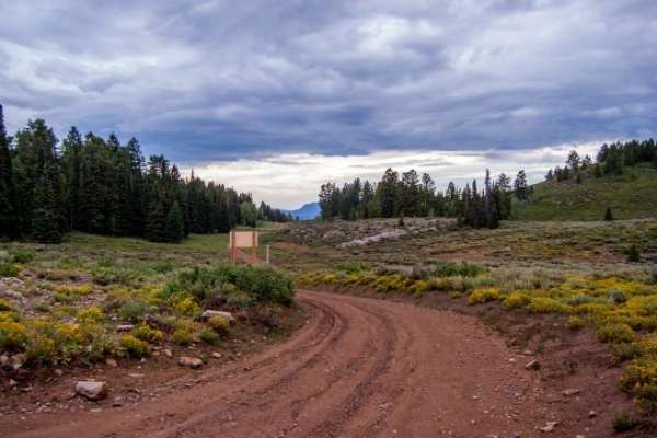
Temple Fork and Old Ephraim's Grave
Temple Fork and Old Ephraim's Grave is a scenic 4.9-mile point-to-point offroad trail in the Uinta-Wasatch-Cache National Forest. Following Forest Road 007 southeast along Temple Fork Creek, the route climbs from 5,790 to 6,654 feet through Logan Canyon's aspen groves, pine forests, and wildflower-f...
Learn more about Temple Fork and Old Ephraim's Grave
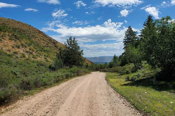
Beaver Green Canyon
This scenic trail begins in St. Charles, Idaho, and leads through oak and pine trees, taking you out of the valley. The trail follows a well-graded, full-width gravel road to Pat's Hollow, the site of a tragic plane crash in 1953. Along the way, you can enjoy stunning views of pine and oak forests a...
Learn more about Beaver Green Canyon
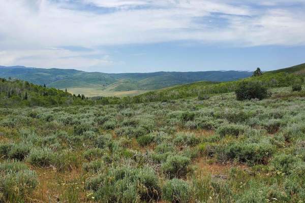
Kearl Pond
Kearl Pond trail is an easy-graded trail that will lead you to some breathtaking vistas. This trail begins at Hell's Hollow within the Hardware Ranch trail system. You'll head east and climb on top of a small mountain range and follow a few saddles. While doing so, make sure to view the valleys and ...
Learn more about Kearl Pond
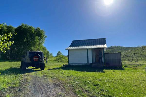
Elk Valley Guard Station
This easy, scenic dirt road spans just over one mile in the Wasatch-Cache National Forest, making it an ideal route for stock SUVs and high-clearance vehicles looking to explore historic Utah backcountry. The trail gently climbs from an elevation of approximately 6,695 feet to 6,879 feet, navigating...
Learn more about Elk Valley Guard Station
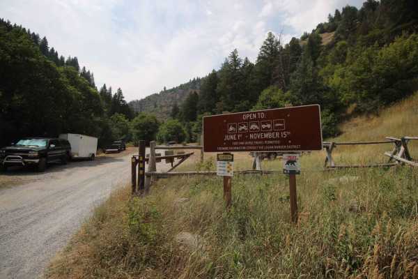
North Fork Cowley Canyon-Herd Hollow - FS 20047
This trail travels from Logan Canyon to the top of Cowley Canyon. From the top of Cowley Canyon, there are several trails that branch off allowing exploration of Cache National Forest. The trail itself is an easy cruise with no technical sections. The trail is one vehicle wide with several pull outs...
Learn more about North Fork Cowley Canyon-Herd Hollow - FS 20047
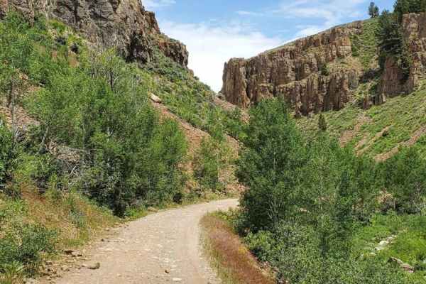
Hell's Hollow
Hell's Hollow trail is an easy-graded trail that takes you through some amazing scenery branching off of the main Hardware Ranch trail system. This trail begins at Dip Hollow heading northeast on a full-width trail toward Lodgepole Canyon. You'll wind through an amazing rocky canyon, surrounded by u...
Learn more about Hell's Hollow
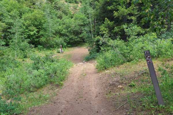
Litz Basin
Litz Basin trail is a fun spur off of Sugar Creek trail. It's an easy, fast, flowy trail that takes you into Litz Basin. It comes to a dead end in the Basin, but it's beautiful, with some areas to explore. This would be an out-and-back from Sugar Creek, but it's worth it for the fun, flowy trail and...
Learn more about Litz Basin
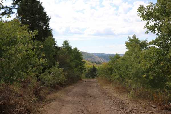
Cowley Canyon-Herd Hollow - FS 20047
This is a fairly tame trail that connects the Mount Logan Trail to the Left Hand Fork Trail or vice versa, depending on the direction of travel. Most of this trail travels through private property, so be mindful and respectful of that. Also, be on the lookout for free-range cattle and sheep in the a...
Learn more about Cowley Canyon-Herd Hollow - FS 20047
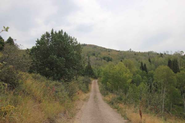
Marie Spring - FS 20147
This trail branches off at the top of Cowley Canyon. It is an amazing drive through aspens and pine trees with epic views of the valley below. The trail itself is not difficult, but it is narrow in places. There are places to pull off and let people pass if necessary. Don't rush this beautiful drive...
Learn more about Marie Spring - FS 20147
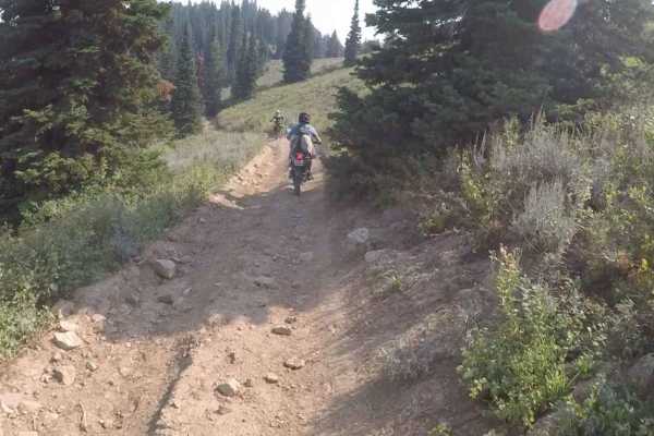
High Line Trail
Nice 50" trail with great views. The trail is hard packed dirt for the most part. There are some hills with loose gravel but not too bad, very little shade on this trail.
Learn more about High Line Trail
Beginner ATV trails near Garden City, Utah
Explore ATV-friendly trails near you. These trails are accessible for vehicles up to 50 inches wide, perfect for ATVs and smaller off-road machines.
Temple Canyon
Depending on the direction of travel, this trail travels from the town of Meadowville, near Bear Lake, into Cache National Forest, or it travels from Cache National Forest to Meadowville. It is an easy drive to get from the forest down to the south end of Bear Lake and back again. Nothing technical ...
Learn more about Temple Canyon
Fish Haven Canyon
This well-maintained access road is about 6.5 miles long. It begins from Fish Haven Idaho, located on the West side of the pristine shores of Bear Lake and T's into Beaver Green Canyon Road. It follows a stream and offers a variety of dispersed camping sites. Many of them are tucked away in pine and...
Learn more about Fish Haven Canyon
Franklin Basin Utah Section
This is a scenic full-width road that will take you to the Idaho border, where this route continues. As you progress up the basin, you will pass through forests, past the river that winds down the valley, and many campsites along the road. There are places to easily access the river along the route....
Learn more about Franklin Basin Utah Section
Randolph to Peter Sinks Road
This route is a great spur-off from the Hardware Ranch to Bear Lake Trail. The trail allows an easy and less traveled route into the Peter Sinks area from the small and quaint town of Randolph. The views are expansive and the area offers plenty of other trails to venture on.
Learn more about Randolph to Peter Sinks Road
Beginner UTV/side-by-side trails near Garden City, Utah
Find UTV and side-by-side trails near you. These trails accommodate vehicles up to 60 inches wide, ideal for UTVs, side-by-sides, and wider off-road rigs.
Temple Canyon
Depending on the direction of travel, this trail travels from the town of Meadowville, near Bear Lake, into Cache National Forest, or it travels from Cache National Forest to Meadowville. It is an easy drive to get from the forest down to the south end of Bear Lake and back again. Nothing technical ...
Learn more about Temple Canyon
Fish Haven Canyon
This well-maintained access road is about 6.5 miles long. It begins from Fish Haven Idaho, located on the West side of the pristine shores of Bear Lake and T's into Beaver Green Canyon Road. It follows a stream and offers a variety of dispersed camping sites. Many of them are tucked away in pine and...
Learn more about Fish Haven Canyon
Franklin Basin Utah Section
This is a scenic full-width road that will take you to the Idaho border, where this route continues. As you progress up the basin, you will pass through forests, past the river that winds down the valley, and many campsites along the road. There are places to easily access the river along the route....
Learn more about Franklin Basin Utah Section
Randolph to Peter Sinks Road
This route is a great spur-off from the Hardware Ranch to Bear Lake Trail. The trail allows an easy and less traveled route into the Peter Sinks area from the small and quaint town of Randolph. The views are expansive and the area offers plenty of other trails to venture on.
Learn more about Randolph to Peter Sinks Road
The onX Offroad Difference
onX Offroad combines trail photos, descriptions, difficulty ratings, width restrictions, seasonality, and more in a user-friendly interface. Available on all devices, with offline access and full compatibility with CarPlay and Android Auto. Discover what you're missing today!
Open Trail Map