
Beginner Off-Road Trails
Near Buies Creek, North Carolina
Explore All Beginner Trails Near Buies Creek, North Carolina
Beginner Off-Road Trails Near Buies Creek, North Carolina
Discover the best beginner-friendly off-road trails near you. These easier, lower-rated trails are a great place to start — browse trail maps, check difficulty ratings, and find your next adventure.
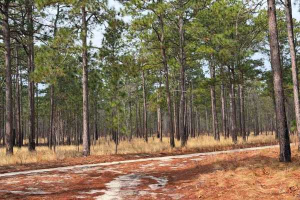
Carpenter Road
Carpenter Road is a short connector between State Route 15 and Strausburg Lane, providing access from pavement to the southeastern portion of the game lands. The road is predominantly a double-track trail, with some narrower sections consisting of loose sand and the potential for mud, while the west...
Learn more about Carpenter Road
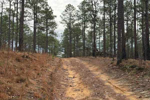
Strausburg Lane
Strausburg Lane is a poorly maintained forest road that has gradually deteriorated into an easy-to-moderate trail. Numerous puddles and small water crossings are scattered along the route, some of which may have soft bottoms. Depending on recent rainfall, these crossings can range from shallow puddl...
Learn more about Strausburg Lane
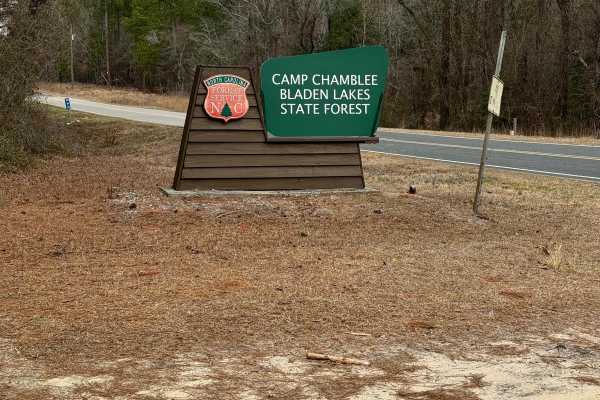
Camp Chamblee
This is a State Forest road that takes you directly to Camp Chamblee, a dispersed camping area within the State Forest. The road is a well-maintained dirt road suitable for any vehicle. Camping is free, however, you are required to call the ranger station to let them know you are camping. They can b...
Learn more about Camp Chamblee
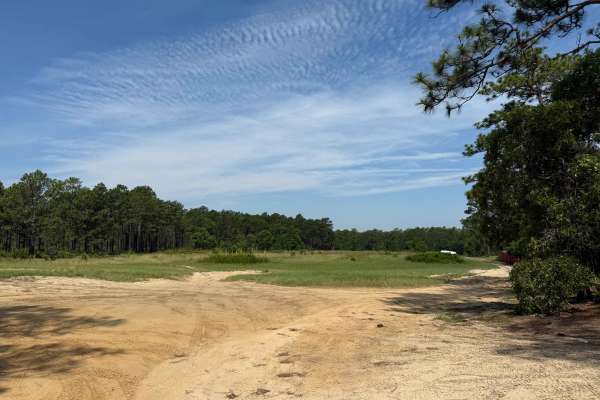
Field Trial Road
Field Trial Road is an access road running from the Northeast to Southwest in the Sandhills Game Land. The road is generally easy, consisting of a wide, sandy forest service route with minor ruts and areas of loose sand. After heavy rain, the ruts may worsen, though the forest service frequently mai...
Learn more about Field Trial Road
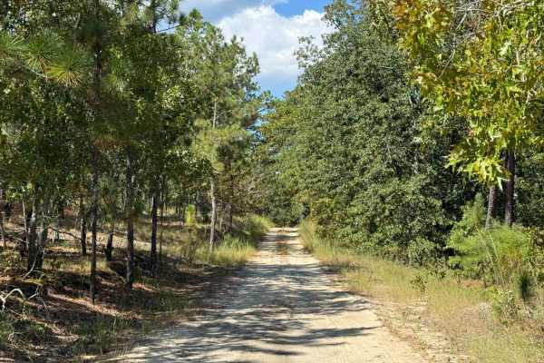
Naked Creek Lane
Naked Creek Lane is a major east–west road located in the northernmost portion of the Sandhills Game Lands. Of the primary named roads, it is arguably the least maintained, tending to be narrower and slightly rougher than others in the area. Despite this, there are a few significant obstacles, thoug...
Learn more about Naked Creek Lane
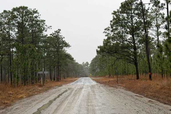
Hoffman Road
Hoffman Road is a large Forest Service road that provides access to a wide area of the southeastern portion of the Sandhills Game Lands. The road itself is wide and well-defined, with numerous trails branching off and a couple of key points of interest along the way. One of the most prominent featur...
Learn more about Hoffman Road
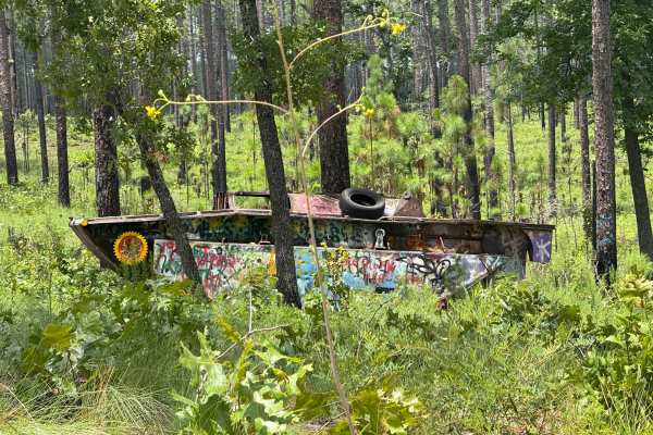
Deaton Lane
Deaton Lane is a sandy Forest Service road located on the eastern side of the Sandhills Game Lands. While many of the major roads in this area are fairly easy, this route presents a few minor challenges. At the end of the trail, drivers will find a small turnaround filled with medium-depth soft sand...
Learn more about Deaton Lane
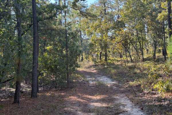
A-6 Lane
A-6 Lane is one of the primary Forest Service roads connecting the northern portions of the Sandhills Game Lands to the southern areas, while also serving as the boundary between the field trial grounds and the main game lands. The southern half of the road is generally wider and better maintained, ...
Learn more about A-6 Lane
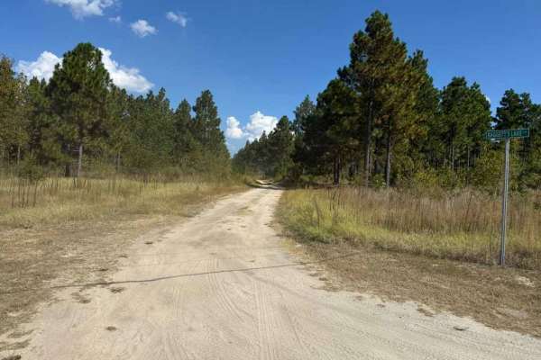
Baggetts Lake Lane
Baggetts Lake Lane is a longer Forest Service road that runs north to south, providing access to a large portion of the Sandhills Game Lands. In addition to general access, the midpoint of the trail leads to the field trial grounds center, a military memorial, and nearby horse stables. The central s...
Learn more about Baggetts Lake Lane
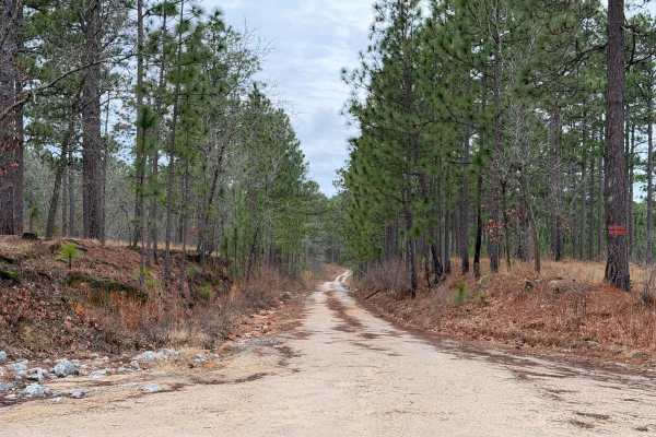
Scotland Lane
Scotland Lane is a smaller, less-maintained forest service road that runs east to west through the southern portion of the Sandhills Game Lands. The majority of the trail is generally easy; however, after rainfall, a few moderate-sized puddles can form toward the western end. Additional minor challe...
Learn more about Scotland Lane
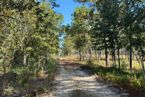
Telephone Ln
Telephone Lane is a smaller and more involved trail than others located within the Sandhills Game Lands. The route is primarily a sandy double-track, with the potential for deeper sand, standing water, ruts, and mud depending on the weather and time of year. Seasonal changes or recent prescribed bur...
Learn more about Telephone Ln
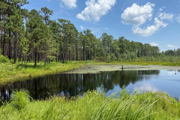
Thrower Lane
Thrower Lane is a shorter Forest Service road within the Sandhills Game Lands that provides views and access to the eastern end of Bones Fork, a flooded pond. This area frequently overflows, creating small water crossings of varying depths. While these crossings may present a minor challenge, they t...
Learn more about Thrower Lane
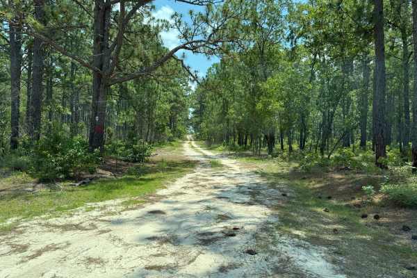
Nursery Lane
Nursery Lane is a longer Forest Service road within Sandhills Game Lands that offers a generally easy drive with only minimal challenges, most of which depend on weather conditions. A short section of the trail has been rutted out by recent rainfall, though the ruts are typically no deeper than 6 in...
Learn more about Nursery Lane
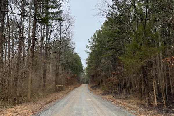
FS-576
FS-576 in Uwharrie National Forest, also known as Moccasin Cir, is a gravel road that splits the National Forest from east to west and dead-ends at the Deep Woods camp area. Along the way, there are several primitive campsites just off the road. Some of them have stunning views of Badin Lake just so...
Learn more about FS-576
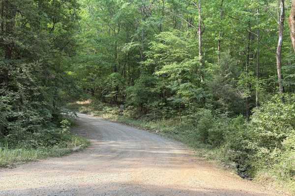
Cotton Place - FS 555
Cotton Place is a Forest Service road located within Uwharrie National Forest. It runs from Moccasin Creek (FS 576) to private property south of the national forest. The trail primarily provides access to the "front side" of Daniel (FS 390), the most challenging OHV area within Uwharrie National For...
Learn more about Cotton Place - FS 555
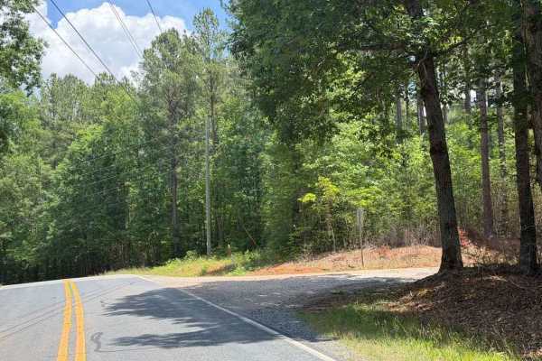
Dusty Level Rd
Dusty Level Rd is a county road comparable to many Forest Service roads in the area, providing access to less-established portions of Uwharrie National Forest while routing through some stretches of private property. The trail is generally easy, featuring a few potholes, mild ruts, and a couple of s...
Learn more about Dusty Level Rd
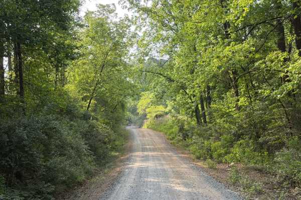
McLeans Creek - FS 544
McLeans Creek (FS 544) serves as the middle of three access routes to Uwharrie National Forest. While the majority of McLeans Creek proper features a paved surface, the westernmost mile quickly transitions into a gravel and hard-packed dirt forest service road. On Mullinix Road just before the inter...
Learn more about McLeans Creek - FS 544
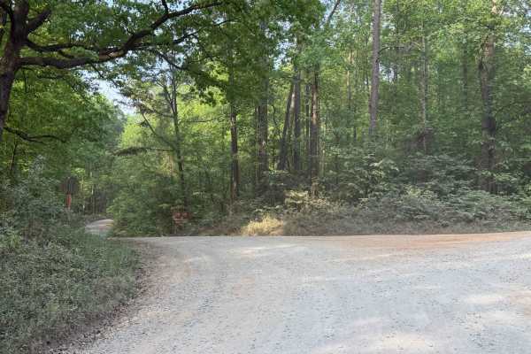
Dutch John - FS 553
Dutch John (FS 553) is a major Forest Service road providing direct access from the eastern national forest entrance, via Moccasin Creek (FS 576), to southeastern OHV trails such as Dickey Bell (FS 91), Falls Dam (FS 96), and Rocky Mount Loop (FS 92). This forest service road features small rocks, r...
Learn more about Dutch John - FS 553
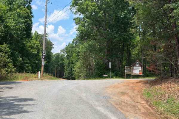
Dennis Road
The mapped portion denotes a split in Dennis Road providing access to the Uwharrie Game Lands and the Uwharrie River public fishing area. These unique areas are lesser-known than other designated game lands and fishing spots within Uwharrie National Forest, featuring dedicated parking areas, short w...
Learn more about Dennis Road
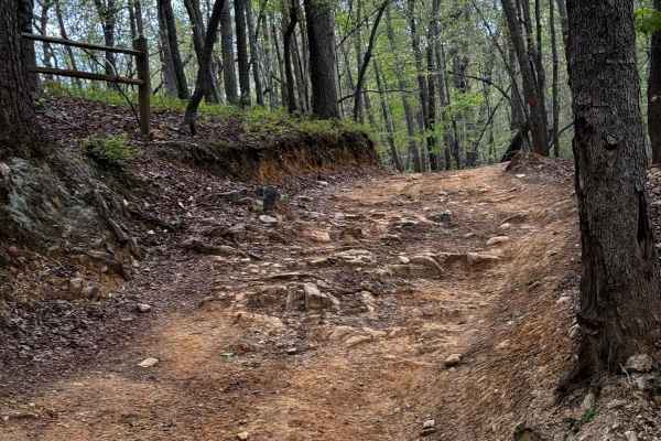
Slab Pile Trail 79
Slab Pile is a fun trail with off-camber portions, small hill climbs, ruts, and several optional challenges. Most of the trail is accessible to most vehicles with moderate ground clearance. Little to none of the main trail requires 4WD, but some of the optional lines and obstacles will likely requir...
Learn more about Slab Pile Trail 79
Beginner ATV trails near Buies Creek, North Carolina
Explore ATV-friendly trails near you. These trails are accessible for vehicles up to 50 inches wide, perfect for ATVs and smaller off-road machines.
FS-576
FS-576 in Uwharrie National Forest, also known as Moccasin Cir, is a gravel road that splits the National Forest from east to west and dead-ends at the Deep Woods camp area. Along the way, there are several primitive campsites just off the road. Some of them have stunning views of Badin Lake just so...
Learn more about FS-576
Slab Pile Trail 79
Slab Pile is a fun trail with off-camber portions, small hill climbs, ruts, and several optional challenges. Most of the trail is accessible to most vehicles with moderate ground clearance. Little to none of the main trail requires 4WD, but some of the optional lines and obstacles will likely requir...
Learn more about Slab Pile Trail 79

Sawmill Trail 93
The Sawmill Trail is an easier trail through the forest. It features multiple short hill climbs that can be slightly off-camber, a few large puddles or stream crossings, and all-around good views of the forest. The trail is generally pretty easy and can offer a good area to begin on, with little pot...
Learn more about Sawmill Trail 93
Beginner UTV/side-by-side trails near Buies Creek, North Carolina
Find UTV and side-by-side trails near you. These trails accommodate vehicles up to 60 inches wide, ideal for UTVs, side-by-sides, and wider off-road rigs.
FS-576
FS-576 in Uwharrie National Forest, also known as Moccasin Cir, is a gravel road that splits the National Forest from east to west and dead-ends at the Deep Woods camp area. Along the way, there are several primitive campsites just off the road. Some of them have stunning views of Badin Lake just so...
Learn more about FS-576
Slab Pile Trail 79
Slab Pile is a fun trail with off-camber portions, small hill climbs, ruts, and several optional challenges. Most of the trail is accessible to most vehicles with moderate ground clearance. Little to none of the main trail requires 4WD, but some of the optional lines and obstacles will likely requir...
Learn more about Slab Pile Trail 79
Sawmill Trail 93
The Sawmill Trail is an easier trail through the forest. It features multiple short hill climbs that can be slightly off-camber, a few large puddles or stream crossings, and all-around good views of the forest. The trail is generally pretty easy and can offer a good area to begin on, with little pot...
Learn more about Sawmill Trail 93
The onX Offroad Difference
onX Offroad combines trail photos, descriptions, difficulty ratings, width restrictions, seasonality, and more in a user-friendly interface. Available on all devices, with offline access and full compatibility with CarPlay and Android Auto. Discover what you're missing today!
Open Trail Map