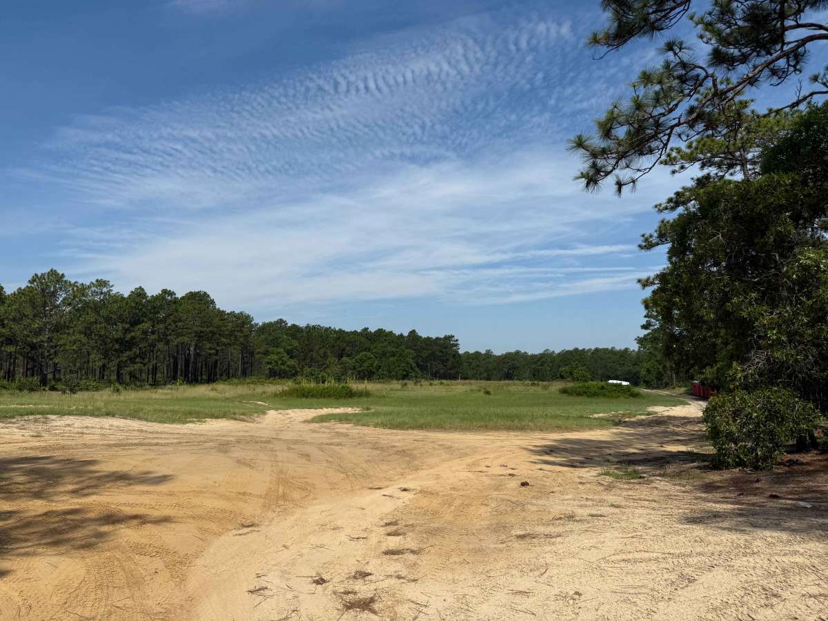
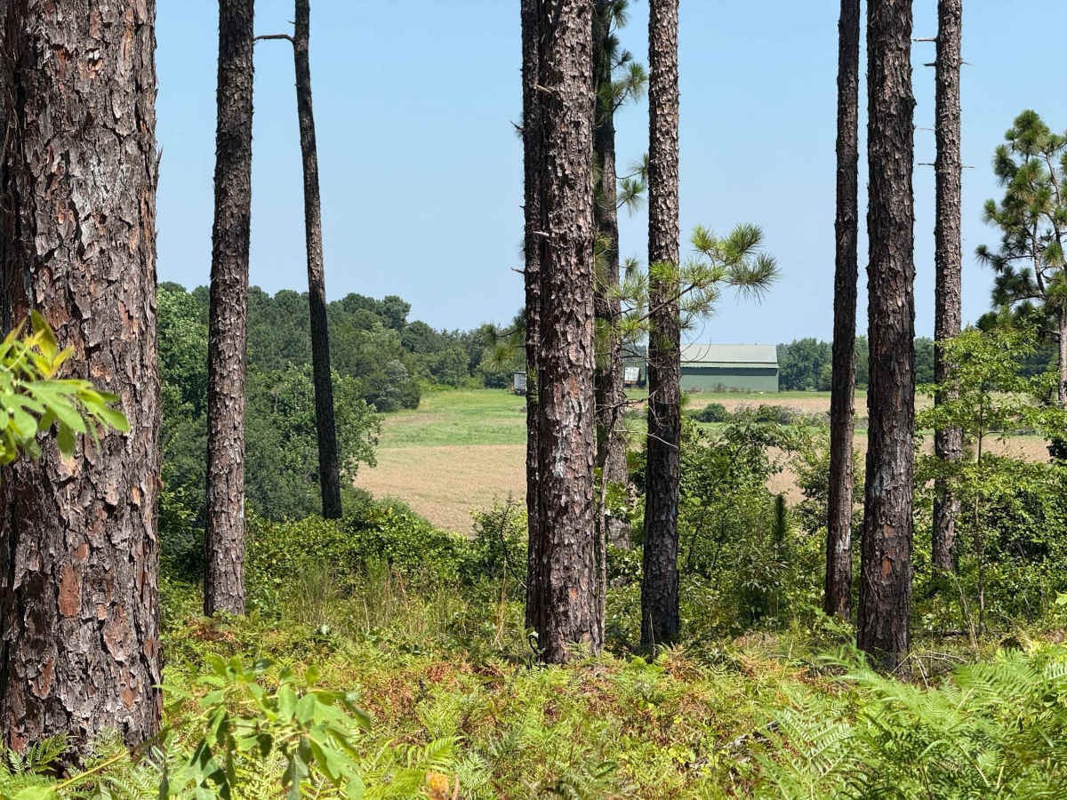
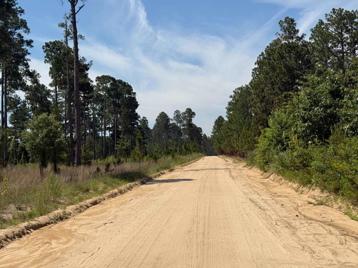
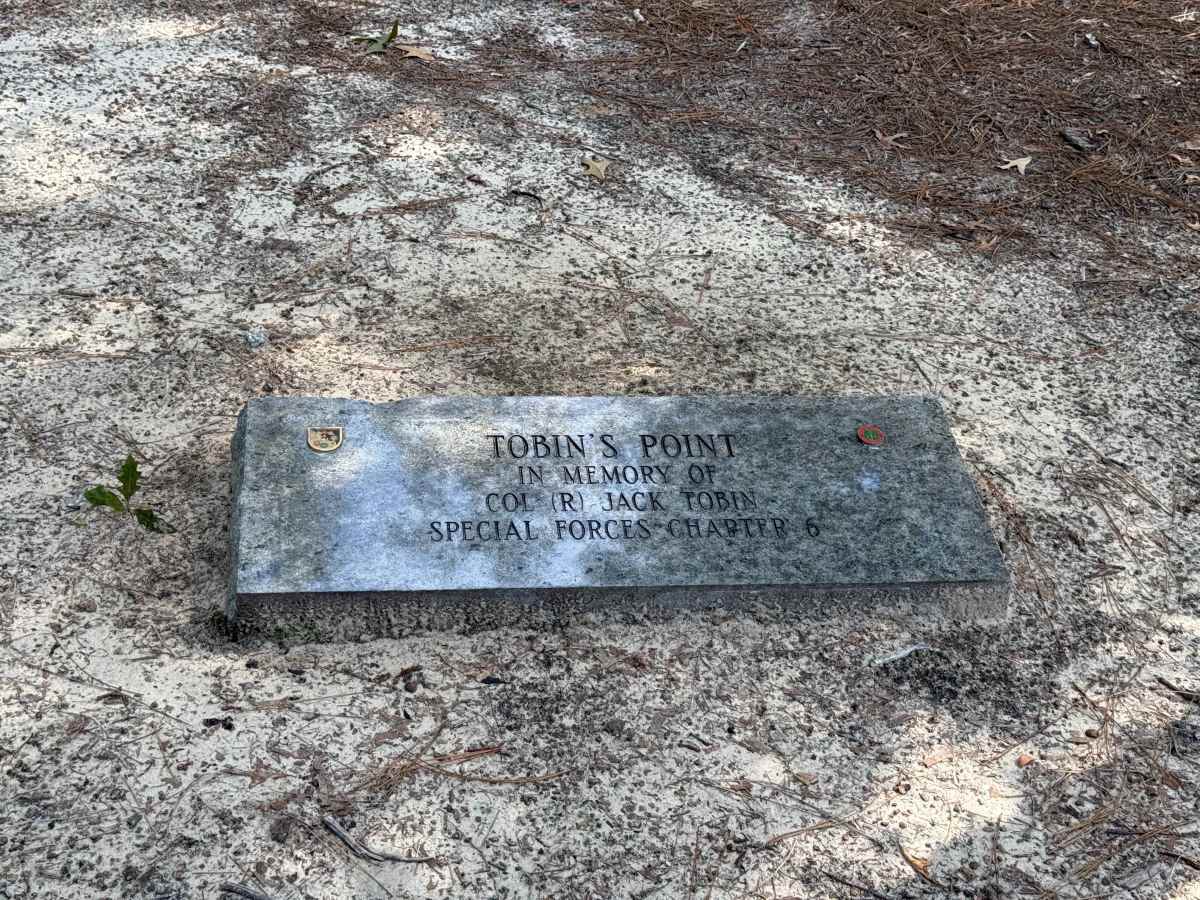
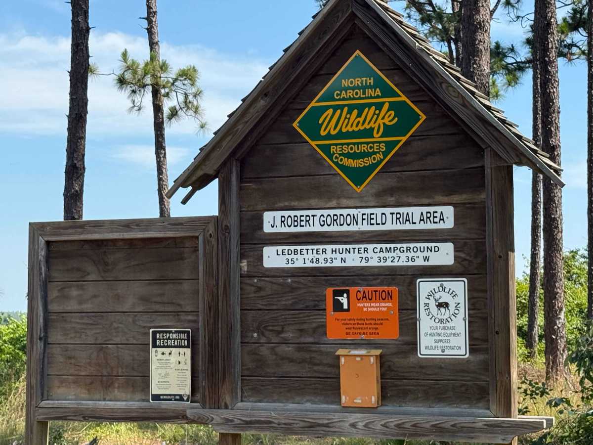
Trail Overview
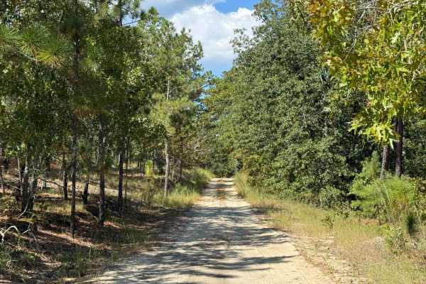
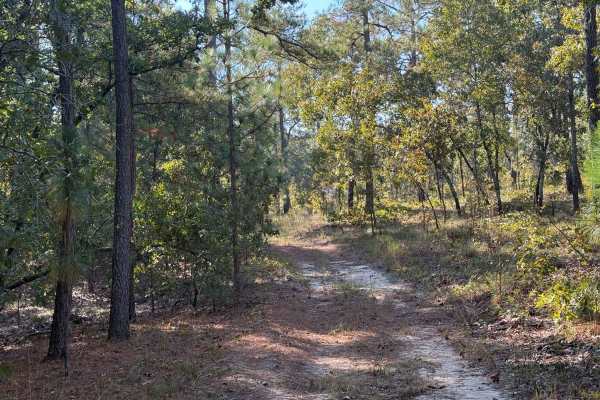
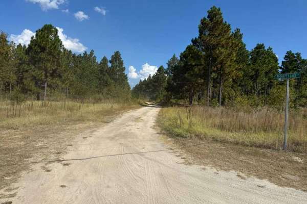
Field Trial Road is an access road running from the Northeast to Southwest in the Sandhills Game Land. The road is generally easy, consisting of a wide, sandy forest service route with minor ruts and areas of loose sand. After heavy rain, the ruts may worsen, though the forest service frequently maintains and repairs the road. The biggest challenges are the loose sand patches, which can become hazardous at higher speeds, and occasional larger puddles or mud pits that form along the edges after significant rainfall—though these are not always present and can usually be avoided. Along the way, the road offers scenic views of meadows, farmland, a memorial site, and military training grounds. It also provides access to numerous connecting roads within the Sandhills Game Land, as well as several hiking trails and the horse stables.
Difficulty
The trail is generally easy, with the most notable obstacles being small potholes, shallow ruts, and occasional patches of loose sand scattered along the road. These minor challenges are typically easy to navigate or avoid. The mud pits that form are usually small and appear only after heavy rainfall, most often along the edges of the road, making them less of a concern for most vehicles.