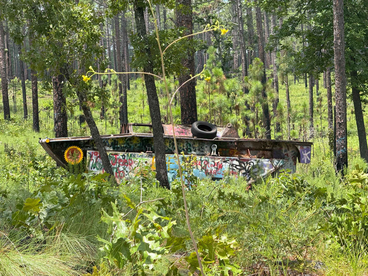
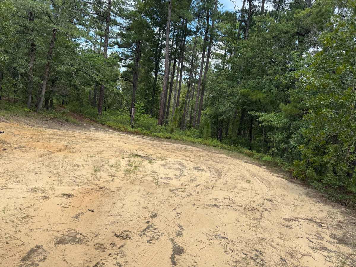
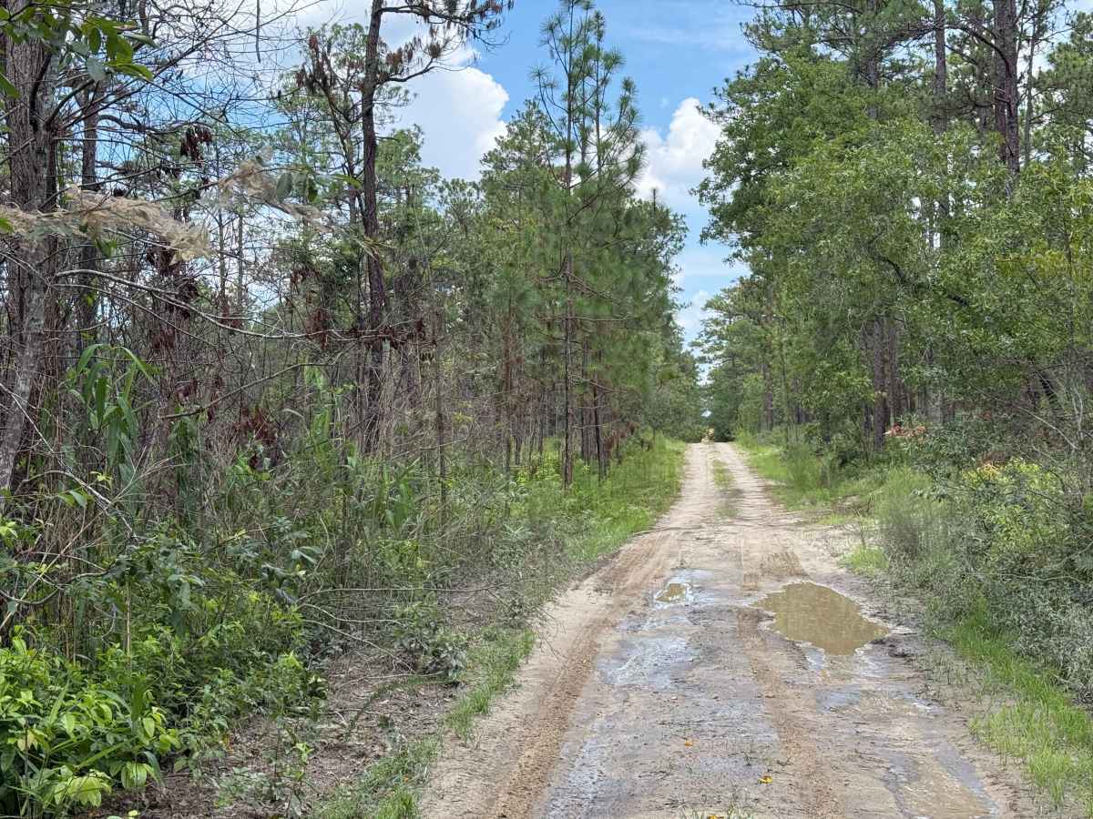
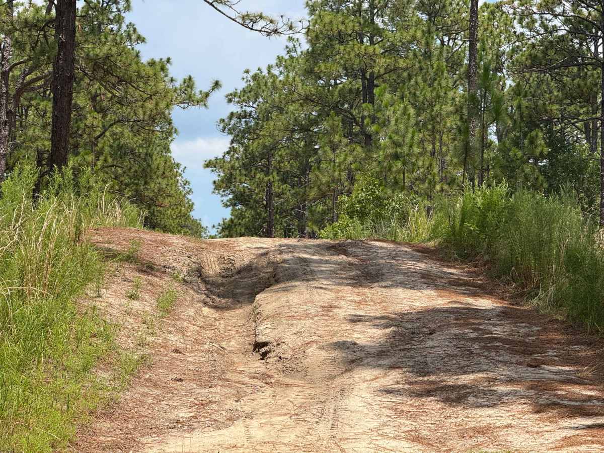
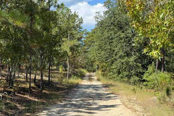
Trail Overview
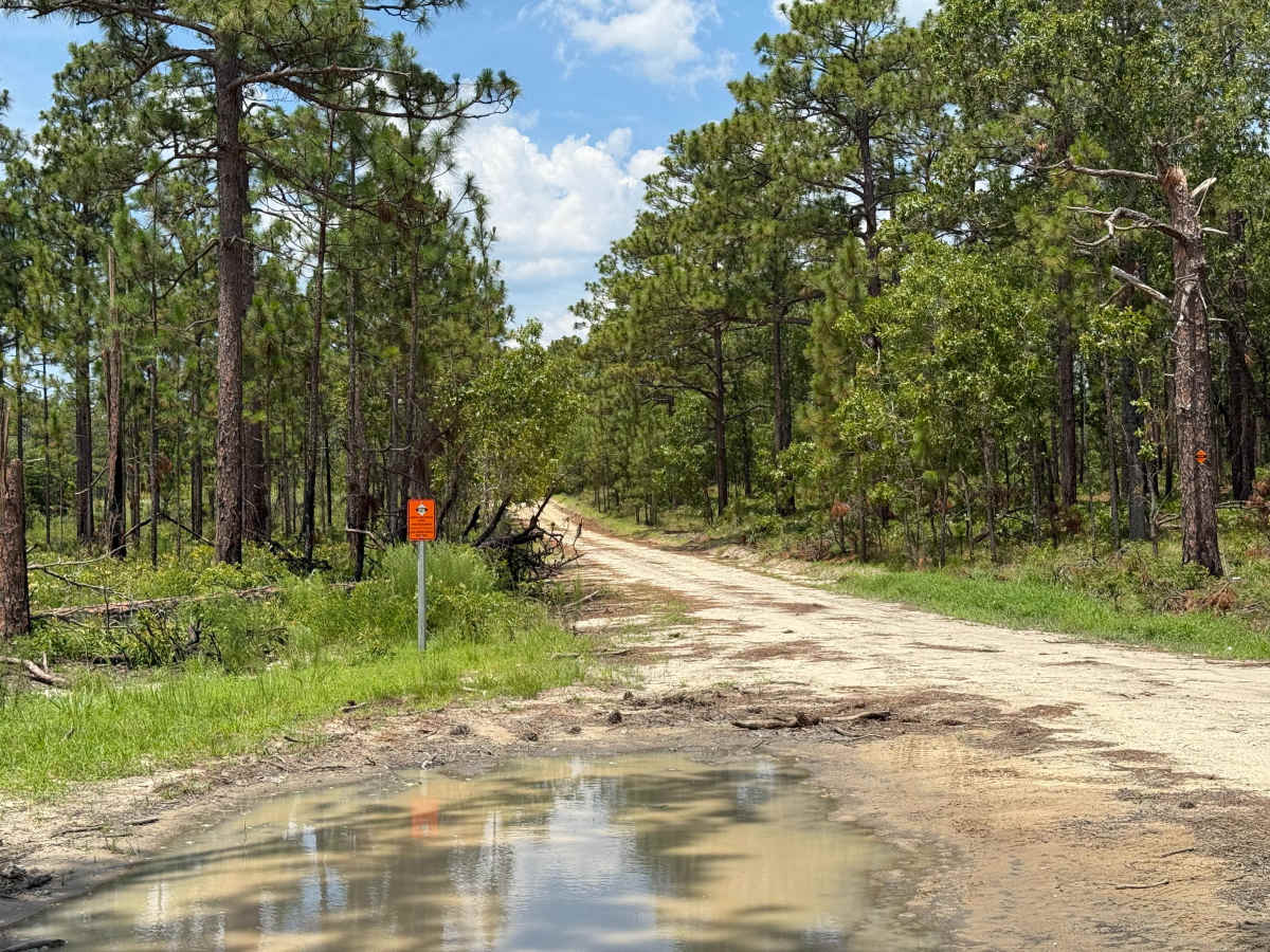
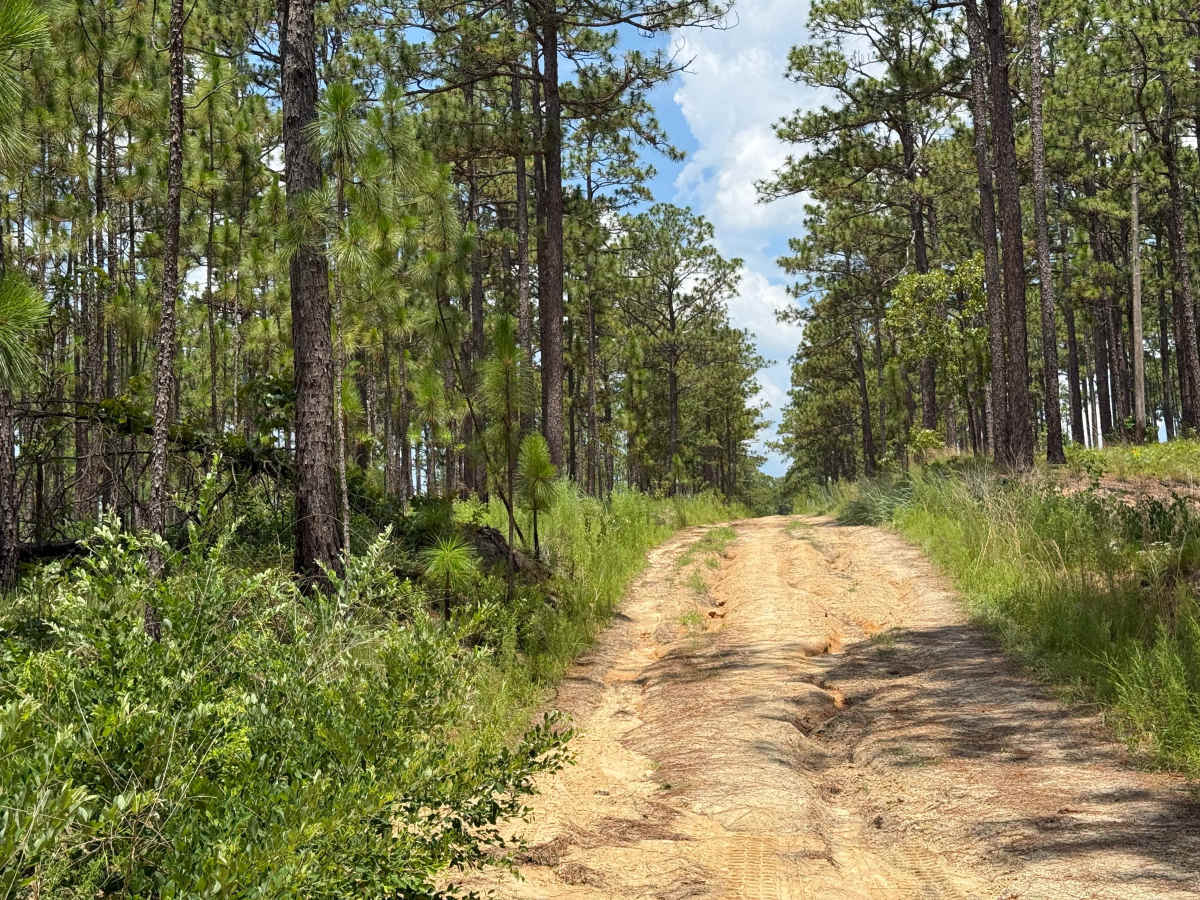
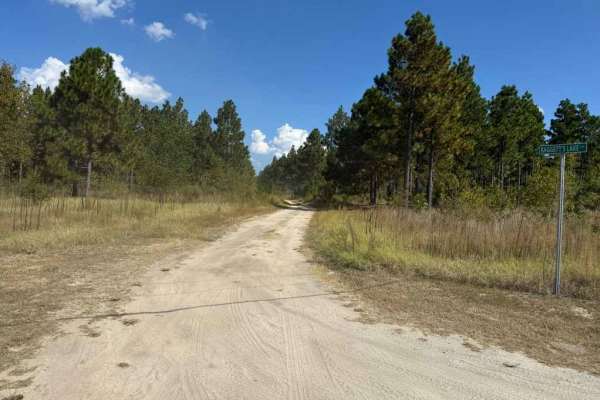
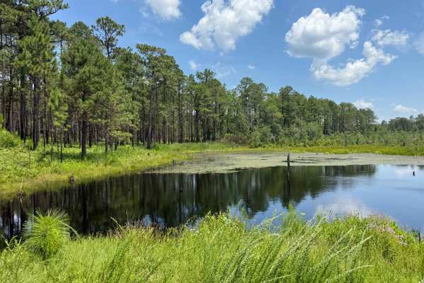
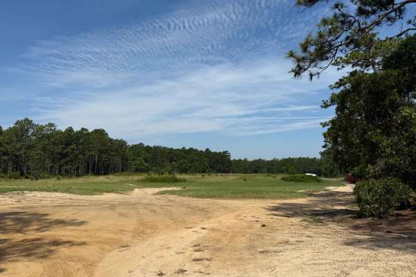
Deaton Lane is a sandy Forest Service road located on the eastern side of the Sandhills Game Lands. While many of the major roads in this area are fairly easy, this route presents a few minor challenges. At the end of the trail, drivers will find a small turnaround filled with medium-depth soft sand, which can bog down vehicles and create difficulties if not approached carefully. Along the route, several low spots tend to collect water and mud after rainfall—generally just a few inches deep, though depths can vary. On the Southern end of the road lies Bones Fork, a small creek that has been dammed by beavers, resulting in wetlands that frequently flood. This area occasionally produces light water crossings or small washouts. The trail is also lined with a series of sandy hills, many of which feature medium-sized ruts that can pose challenges for most vehicles. While some can be bypassed by dipping a wheel off the road, doing so is discouraged as it causes unnecessary trail damage. In addition to the driving challenges, Deaton Lane offers a few points of interest. These include the swampy wetland areas around Bones Fork and the remnants of a tracked landing vehicle (LVT-4), a World War II–era amphibious craft once used by the U.S. military for beach landings.
Difficulty
Although Deaton Lane is generally an easy Forest Service road, it does feature a few light challenges along the way. Shallow water crossings, mud pits, and larger puddles may form after rainfall, though they are typically only a few inches deep. The more notable obstacles are small to medium washouts found on several steeper sandy hills. These washouts usually range from just a couple of inches to around 12 inches in depth, offering a bit more technical driving without being overly difficult.