The Hunting Public
The Hunting Public
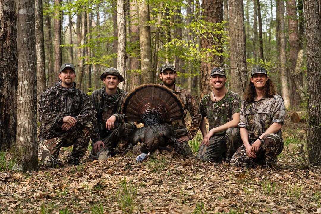
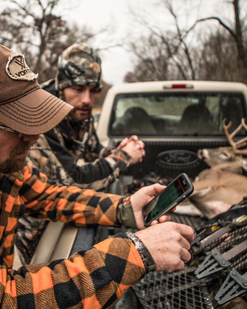
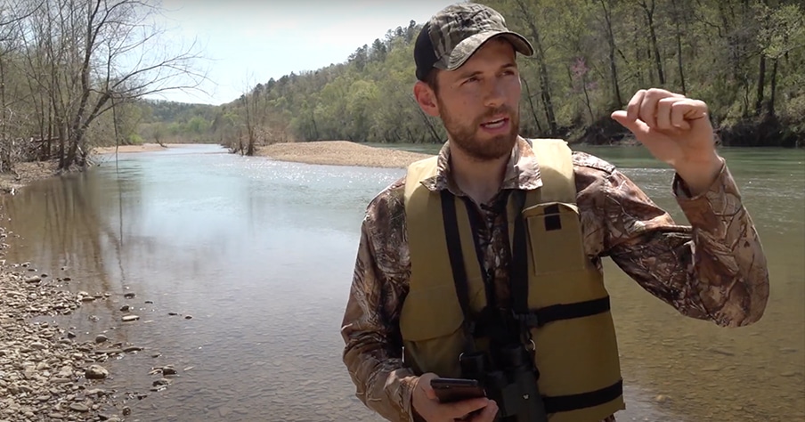
We’ve worked alongside the THP crew for years and it’s clear they are some of the most successful hunters in the country. In that success they have gained a ton of knowledge that they continually share with their audience to help them have more successful hunts.
Three Tips to Find Turkeys
“If you don’t take anything away else from this whole entire video, when you hear a turkey, drop a pin where you heard that turkey!” Warb, Zach, and Jake break down how to listen for turkeys, find habitat diversity that will hold turkeys, and, lastly, cover ground!
Mapping Whitetails
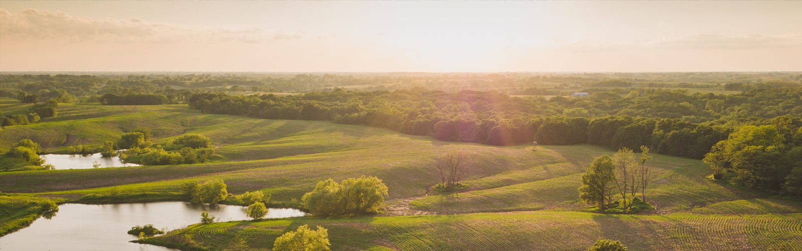
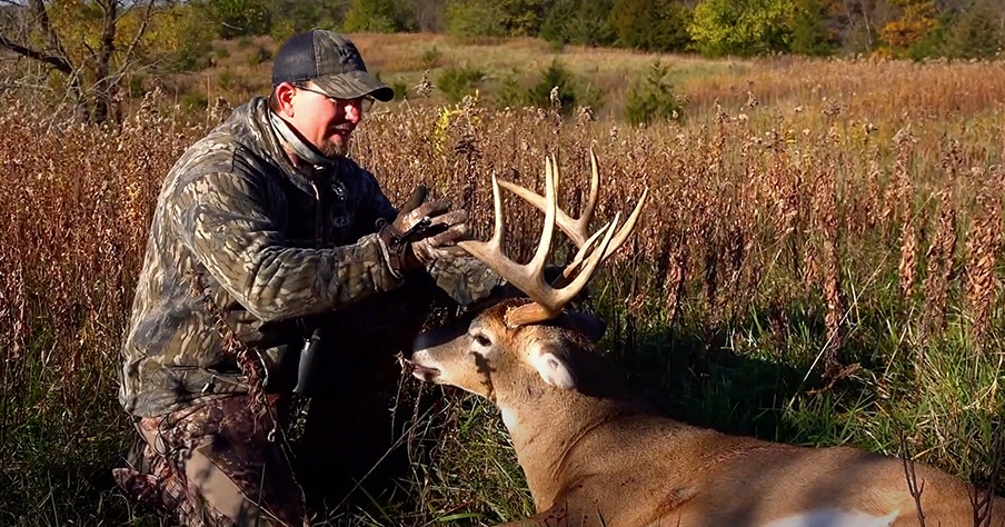
The crew over at The Hunting Public has produced nearly three hours of educational content on how to find mature whitetails—from finding public land, identifying bedding areas, and even knowing how to hunt specific terrain types. Whether just getting started or hunting your 20th season, there is lots to be learned from these guys.
Get onX
onX Hunt Elite Membership
What is included for Elite Members
- All 50 states with all Map Layers
- Exclusive access to Elite Benefits, which includes Toprut+Huntin’ Fool (a $70 value for free)
onX Hunt Premium Membership
What is included for Elite Members
- Single state coverage

The Most Bang for Your Buck
An onX Hunt Elite Membership gives you access to the most comprehensive mapping data for hunters for every state in the country. Find more success through planning and preparation right out of The Hunting Public’s playbook.
Combine the most trusted mapping app with our Elite Benefits program and make onX the hub for your outdoor adventures. Now with an Elite Membership you gain access to:
- Free access to Toprut and Huntin’ Fool to help you plan and execute western hunts
- Exclusive discounts on the hunting gear you need
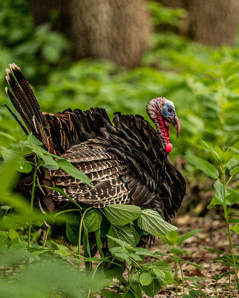
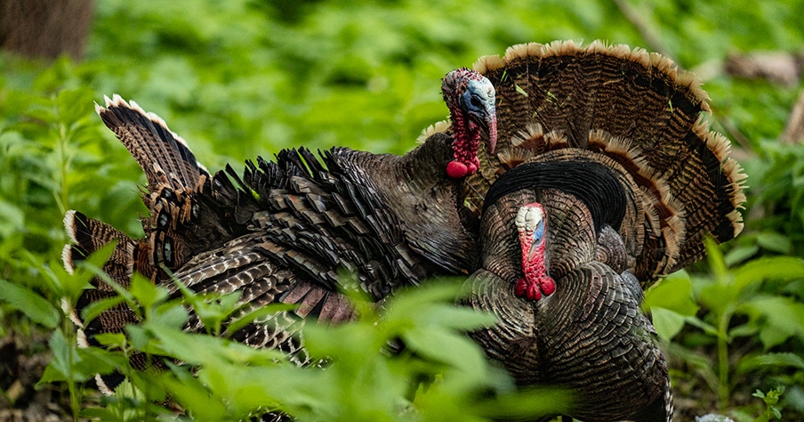
Turkey Tips
Using the onx Hunt Basemaps To Find More Birds
You can use the Topo Map feature to easily identify water sources. Pair that with the Hybrid Basemap to see the big picture.
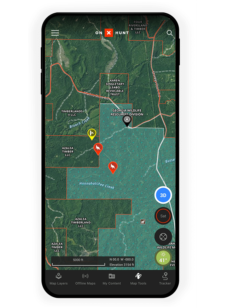
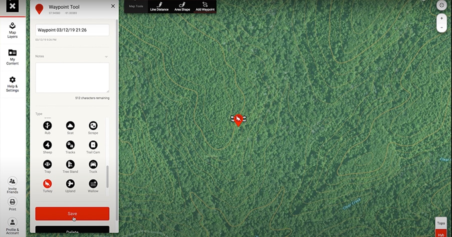
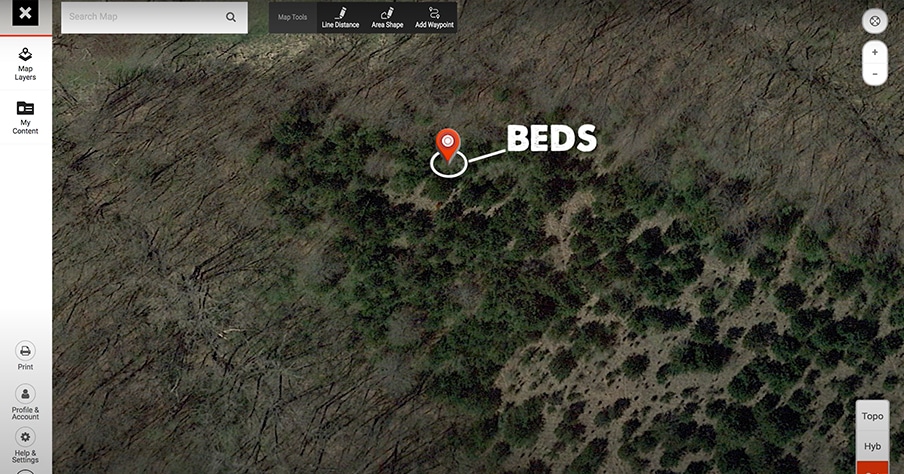
Use Waypoints To Hunt More Efficiently
When hunting a new area, use Custom Waypoints to mark all turkey sign you find. This will help you narrow your focus to hunt more efficiently.
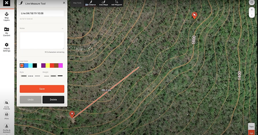
Line Tool To Determine the Distance of a Gobble
Pull out the Hunt App when you hear a gobble to help pinpoint the bird’s location, and then use the Line Distance tool to determine if you should stay put or close the gap.
Pinpoint Roosted Gobblers
Marking a roosted bird’s location with a Waypoint in the evening can pay huge dividends come the following morning!
Whitetail Tips

Marking a Buck’s Location To Execute a Stalk
Using Waypoints to pinpoint a buck’s location before starting your stalk will allow you to be sure of exactly where you last saw the buck. Then you can plan and execute a precise stalk.
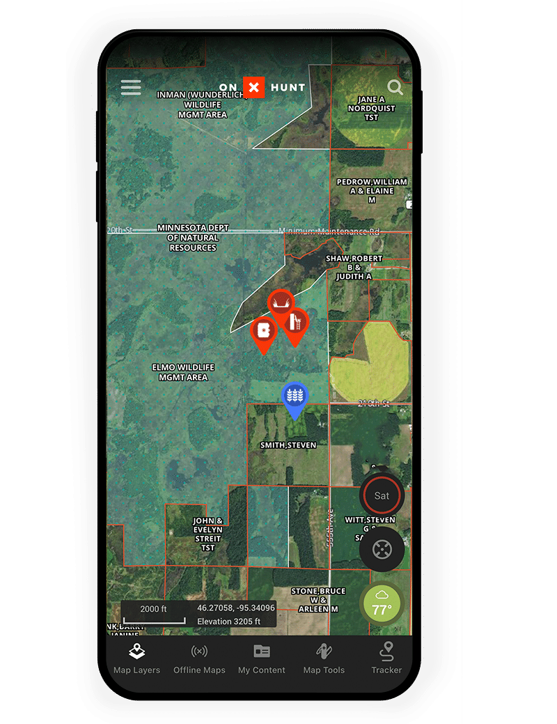
Finding Habitat Diversity
Using the aerial imagery within the onX Hunt App, you can easily identify diverse habitat and edges that deer habitually inhabit.
Planning a Decoy Set Up
Break down the area’s topography and cover to make your decoy as visible as possible from where you expect a mature buck to approach from.
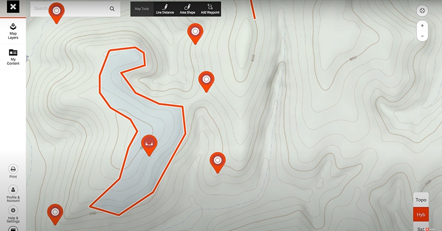
Setting Up a Wind Bump
Use onX to visualize the bedding areas you want to bump, you can better plan where your standers and drivers need to be in order to successfully harvest deer.
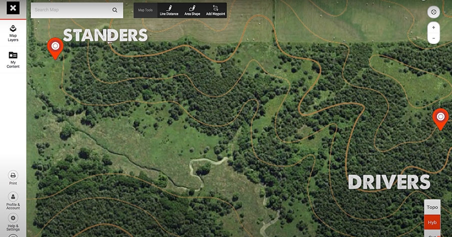
Setting Up a Deer Drive
By pulling up the Hunt App you can ensure all the drivers and standers are on the same page, which ensures safety first and foremost. It also gives you a clear visual for a deer’s expected travel and be set up in the best location possible.
Finding Overlooked Spots
Using the Hunt App combined with boots on the ground to verify pressure, find the nooks and crannies that don’t see many hunters.