Little North Carolina Road
Total Miles
4.4
Technical Rating
Best Time
Winter, Fall, Summer, Spring
Trail Type
Full-Width Road
Accessible By
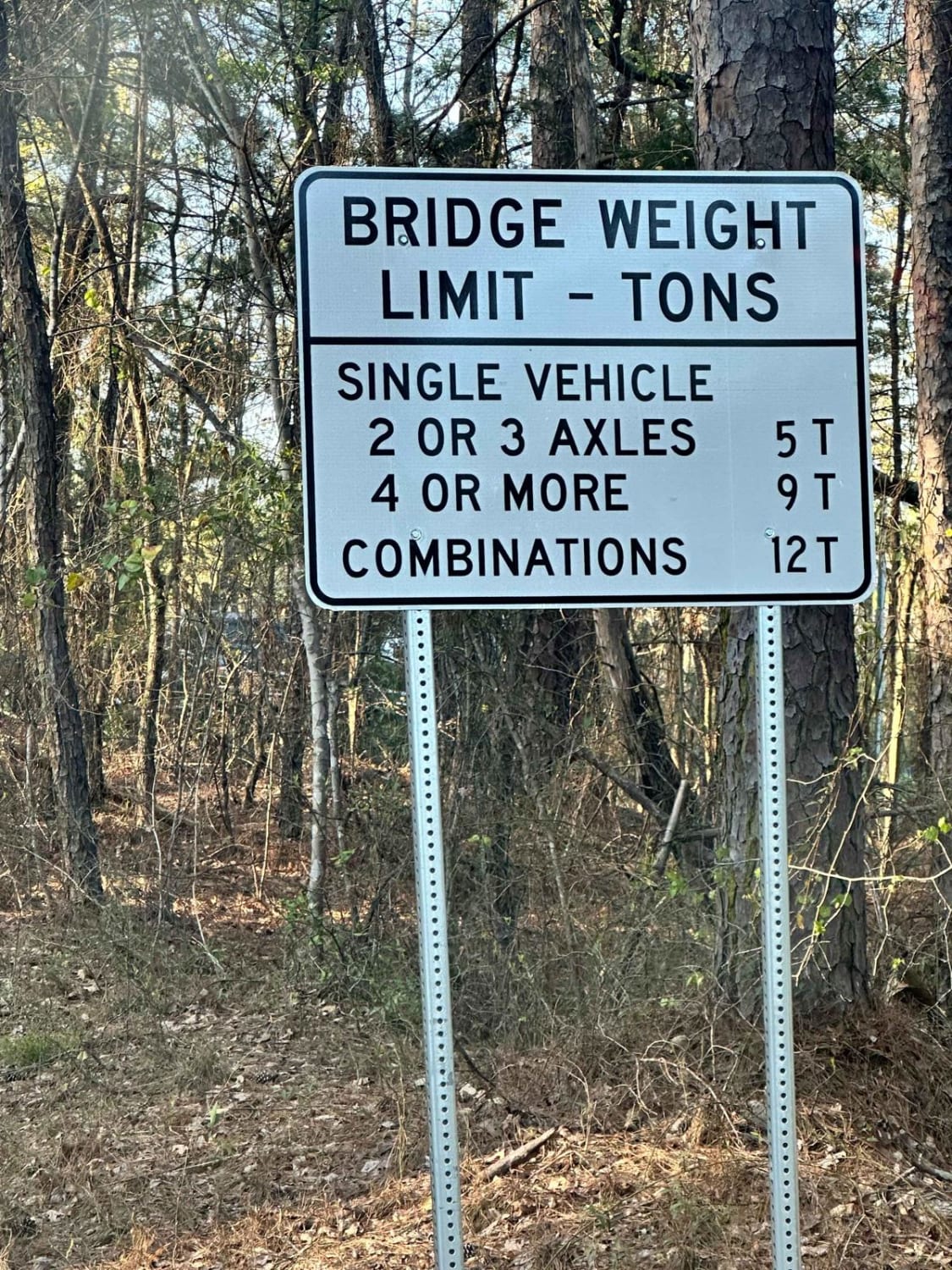
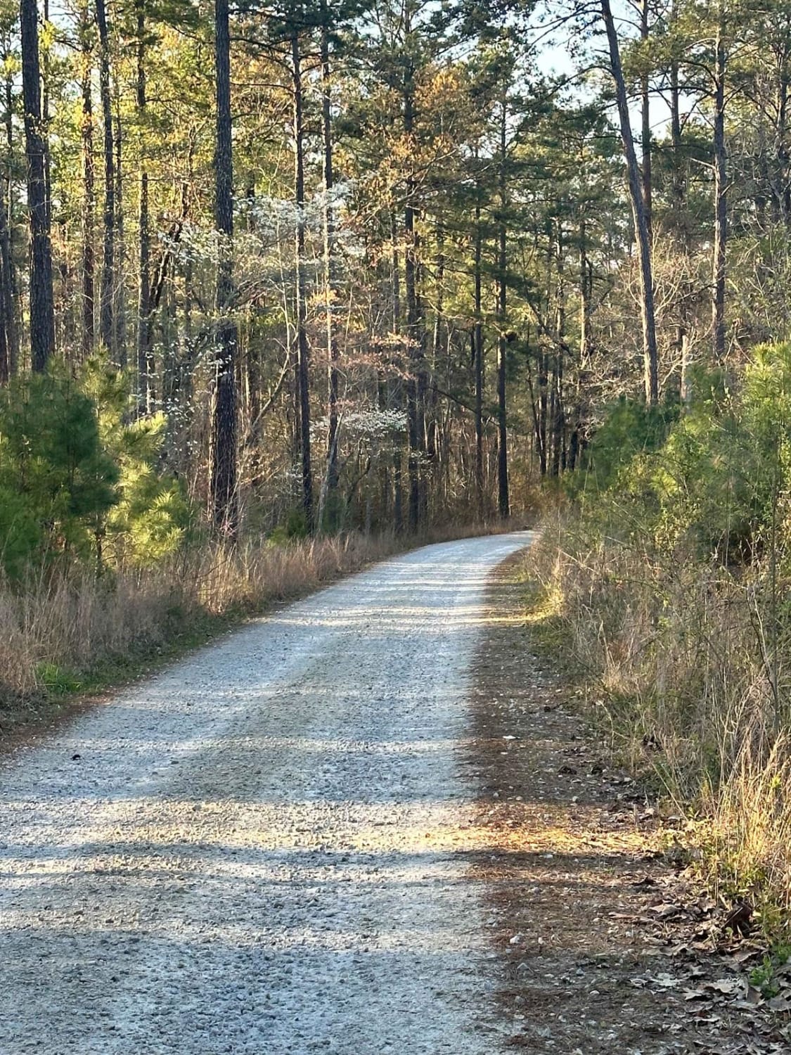
Trail Overview
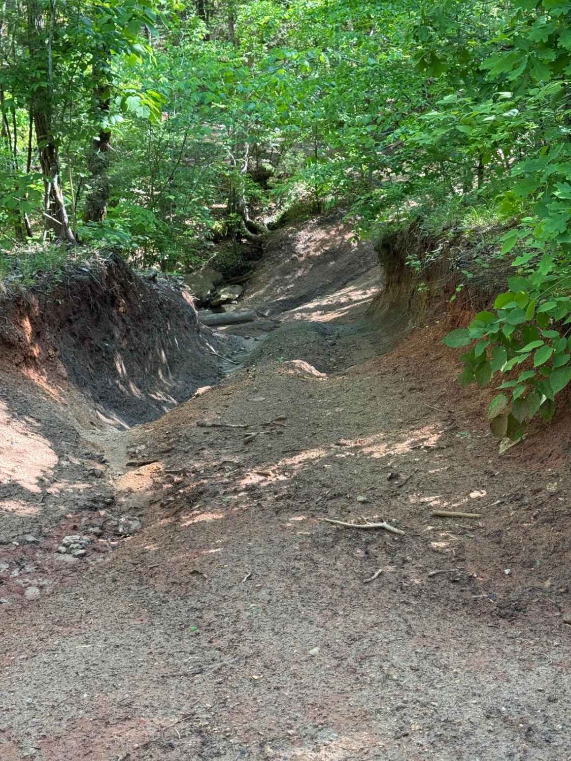
This gravel road rolls across some of the Sumter National Forest's piedmont area; it includes side puddles, that can hold water for a long time, and a delightful creek crossing that can gain depth rapidly with heavy rainfall. The creek crossing has a hard bottom (cement) but has a visible hole on the up-creek side when the water is clear.
Photos of Little North Carolina Road
Difficulty
The road is well maintained most of the year, however, with heavy rainfall the creek crossing can become deep. Eighty-five percent of the time the road is safe to travel with any 4x4, however, the crossing can increase to several feet.
Status Reports
Little North Carolina Road can be accessed by the following ride types:
- High-Clearance 4x4
- SUV
Little North Carolina Road Map
Popular Trails
Oak's Detour
Lower Heartbreaker
Sidewinder/Tornado Cutoff

Bonneau Ferry WMA - Perimeter Loop A
The onX Offroad Difference
onX Offroad combines trail photos, descriptions, difficulty ratings, width restrictions, seasonality, and more in a user-friendly interface. Available on all devices, with offline access and full compatibility with CarPlay and Android Auto. Discover what you’re missing today!