Peale Gorton Road
Total Miles
4.2
Technical Rating
Best Time
Summer, Fall
Trail Type
Full-Width Road
Accessible By
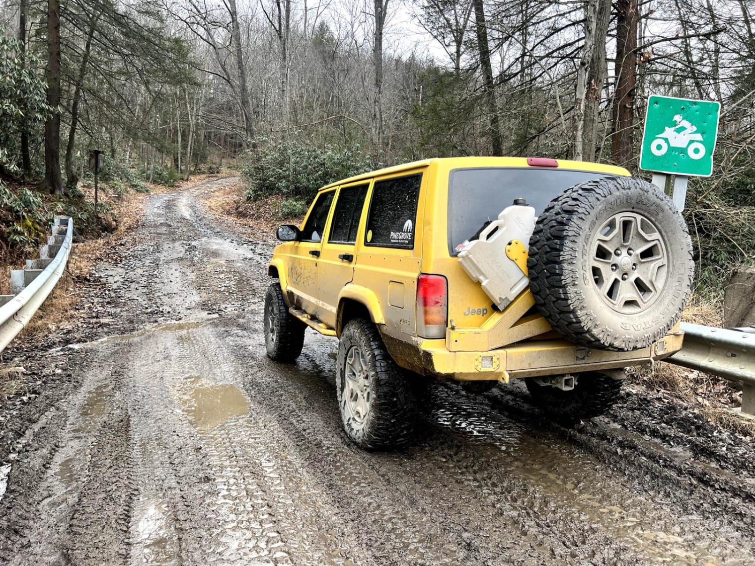
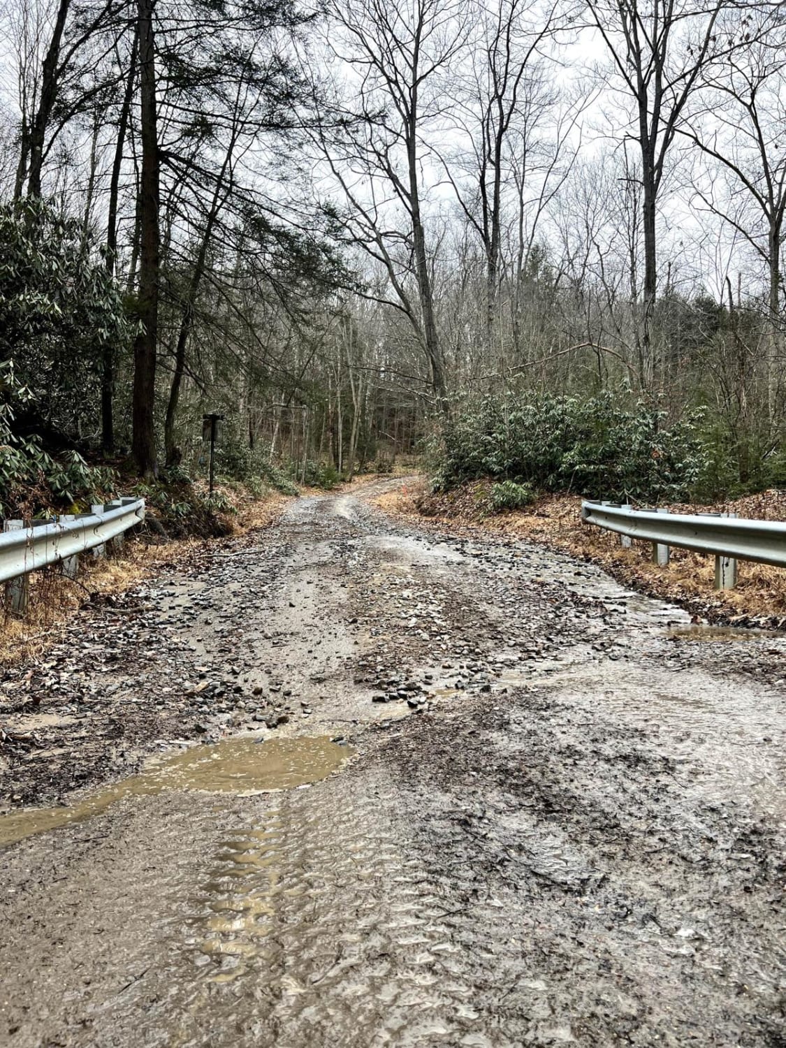
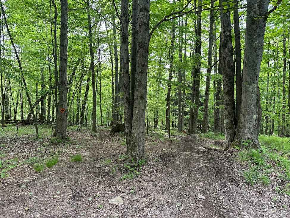
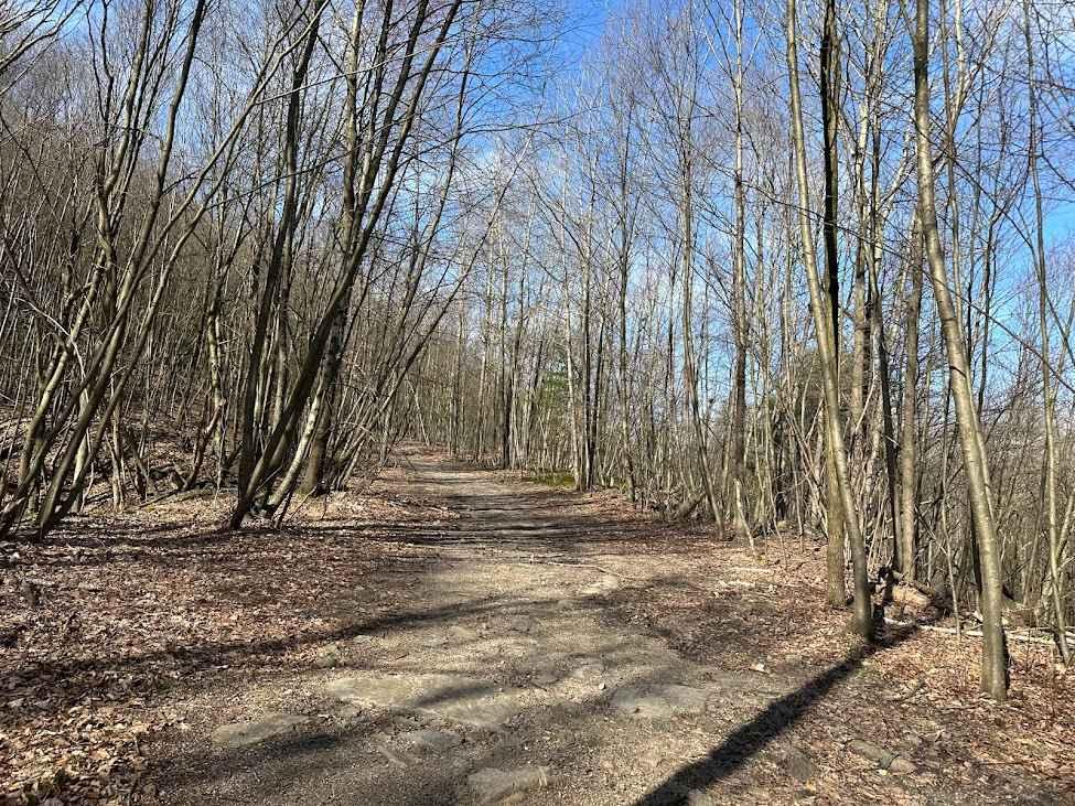
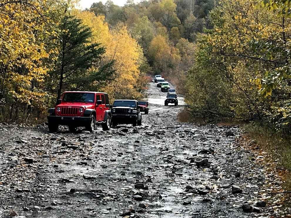
Trail Overview
This is an unmaintained high-clearance 4x4 road just outside Moshannon State Forest. It offers a beautifully scenic and challenging back route into the state forest and Black Moshannon State Park. You'll climb over 750 feet in elevation, though there are not any notable vistas or lookouts.
Photos of Peale Gorton Road
Difficulty
Coming from the town of Pleasant Hill or Grassflat, you can expect a long climb, which may be muddy at the start (just after crossing Moshannon Creek) and will include steep loose rocky climbs, wash outs, and some small rock ledges. At the top, there are several large, but not very deep mud holes. Expect water to be 10-20" deep after rain.
Status Reports
Peale Gorton Road can be accessed by the following ride types:
- High-Clearance 4x4
- SUV
Peale Gorton Road Map
Popular Trails
Orange Single Track A- B4
St. Keirns 30
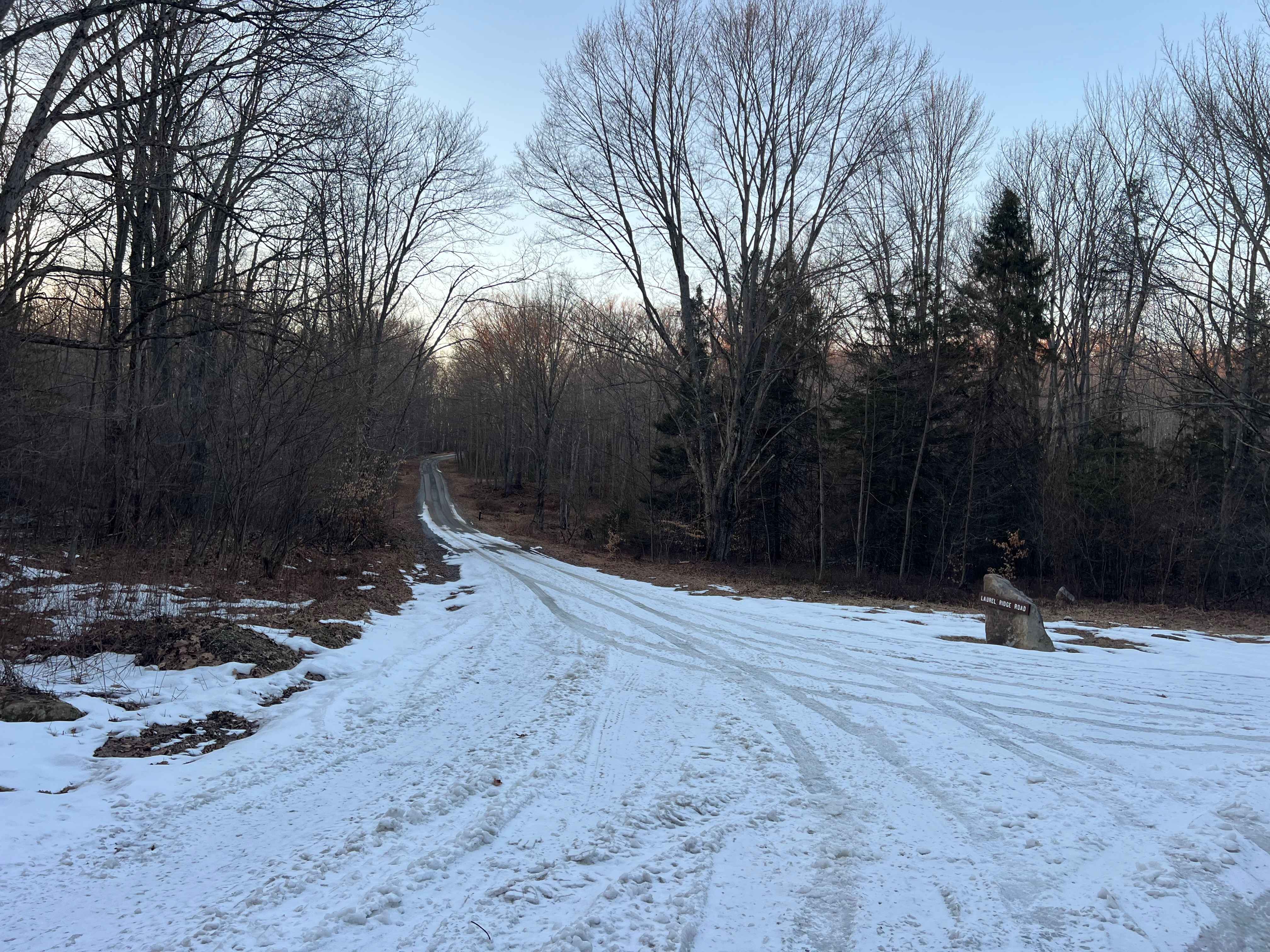
Laurel Ridge Road
The onX Offroad Difference
onX Offroad combines trail photos, descriptions, difficulty ratings, width restrictions, seasonality, and more in a user-friendly interface. Available on all devices, with offline access and full compatibility with CarPlay and Android Auto. Discover what you’re missing today!