Paddy Mountain Road
Total Miles
5.8
Technical Rating
Best Time
Spring, Summer, Fall, Winter
Trail Type
High-Clearance 4x4 Trail
Accessible By
Trail Overview
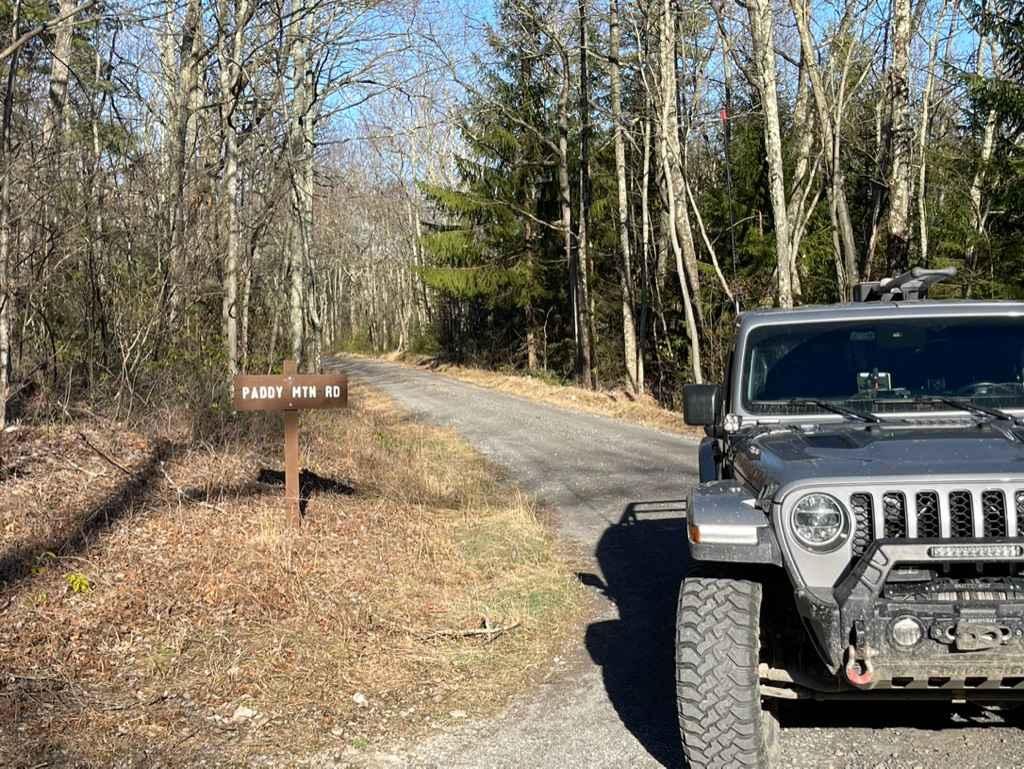
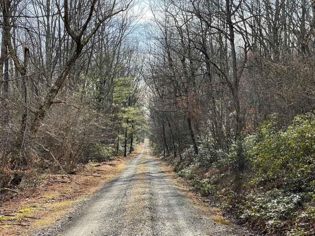
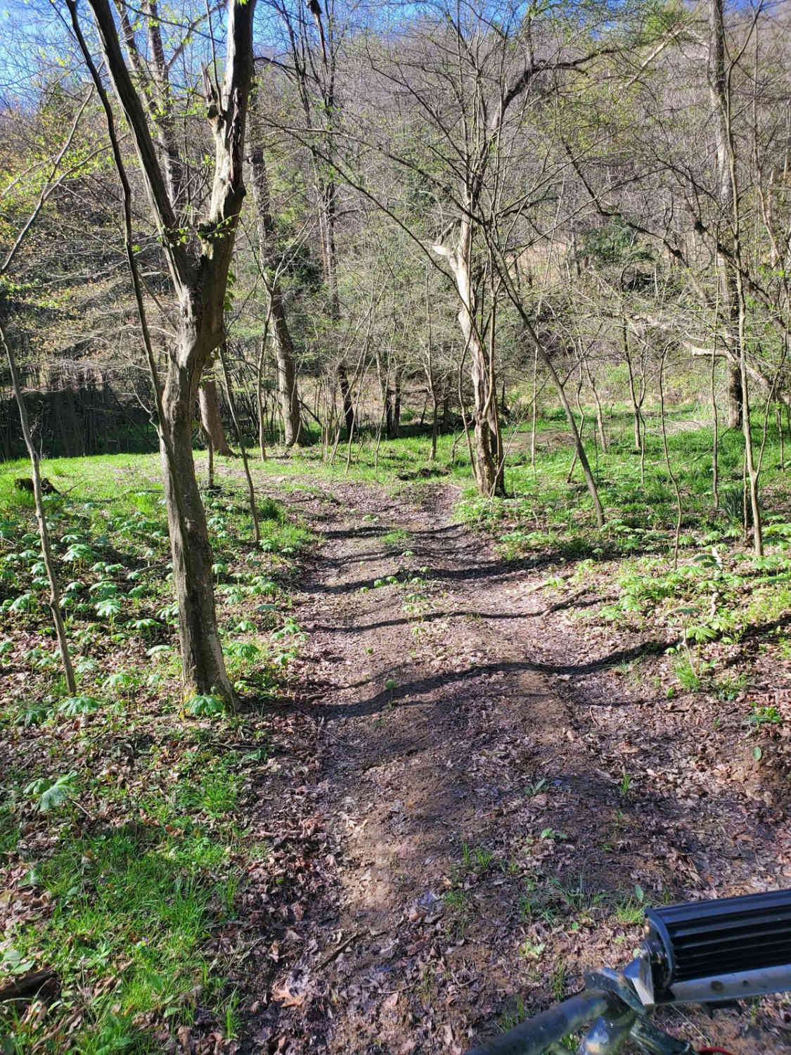
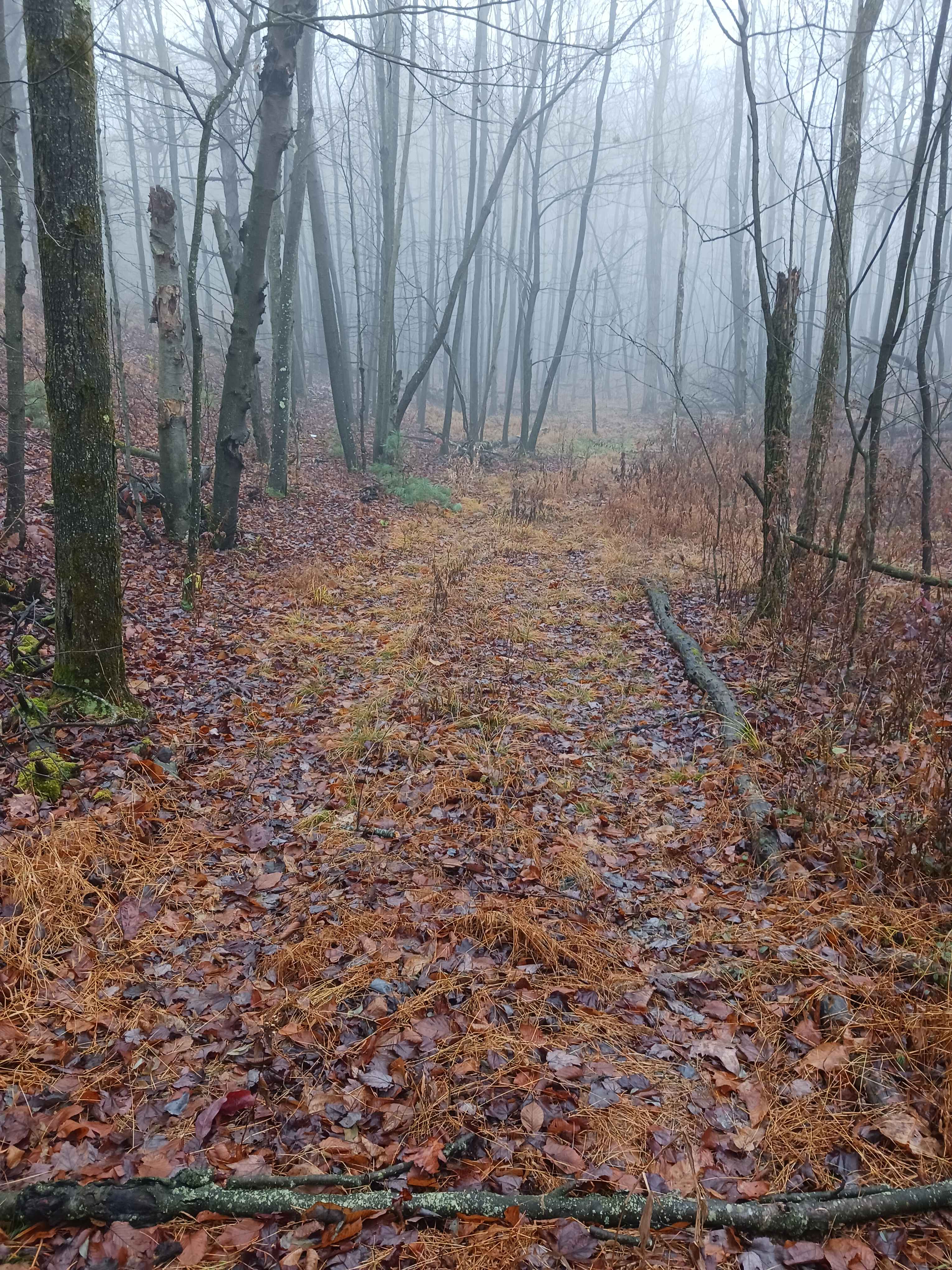
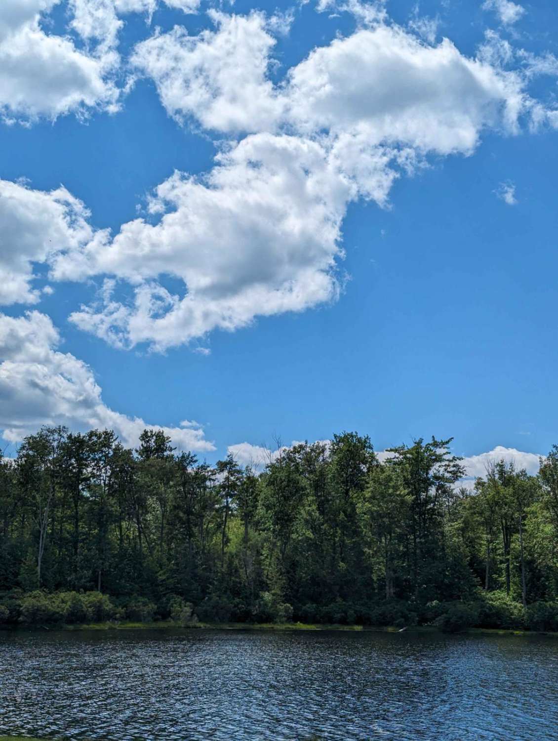
Paddy Mountain Road, also known as Paddy Mountain Forestry Road, is a drivable trail that winds through the northeastern region of the picturesque Bald Eagle State Forest. Coming from the west, you'll encounter a sign around 1.5 miles in indicating the transition from a groomed road to a captivating drivable trail. From this point onward, the trail transforms, revealing a rugged path with rocks, washouts, ruts, and the occasional mud hole. Be prepared to encounter overgrown areas and witness the vibrant colors of nature in every season, from the vibrant blossoms of spring to the fiery hues of autumn. All along the trail, you'll get views across the mountain tops and into the valleys. Continuing east, after you navigate through the most demanding part of the trail, a beautiful panoramic vista awaits, presenting an awe-inspiring view of the valley below. The same drivable trail sign is also posted at the eastern end to indicate the trail is not regularly maintained and that four-wheel drive is recommended.
Photos of Paddy Mountain Road
Difficulty
There are loose rocky sections with occasional washes and ruts.
Status Reports
Paddy Mountain Road can be accessed by the following ride types:
- High-Clearance 4x4
Paddy Mountain Road Map
Popular Trails
OHV 20 - Rock Run Recreation Area

Blue Climbs
Loyalsock Road
The onX Offroad Difference
onX Offroad combines trail photos, descriptions, difficulty ratings, width restrictions, seasonality, and more in a user-friendly interface. Available on all devices, with offline access and full compatibility with CarPlay and Android Auto. Discover what you’re missing today!