Ore Mine Road
Total Miles
3.3
Technical Rating
Best Time
Spring, Summer, Fall, Winter
Trail Type
Full-Width Road
Accessible By
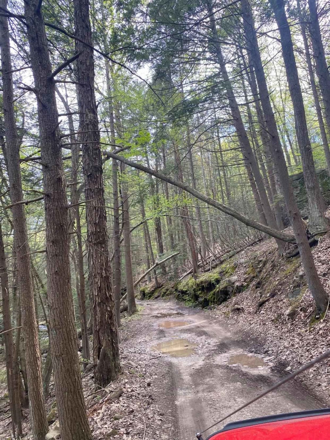
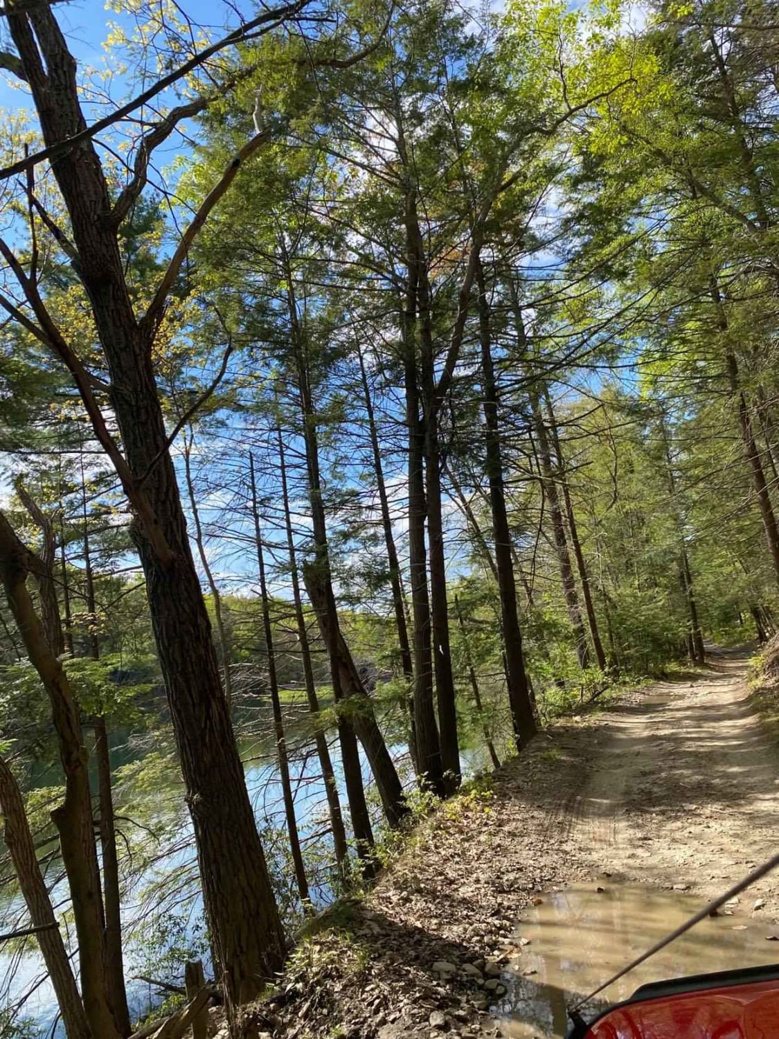
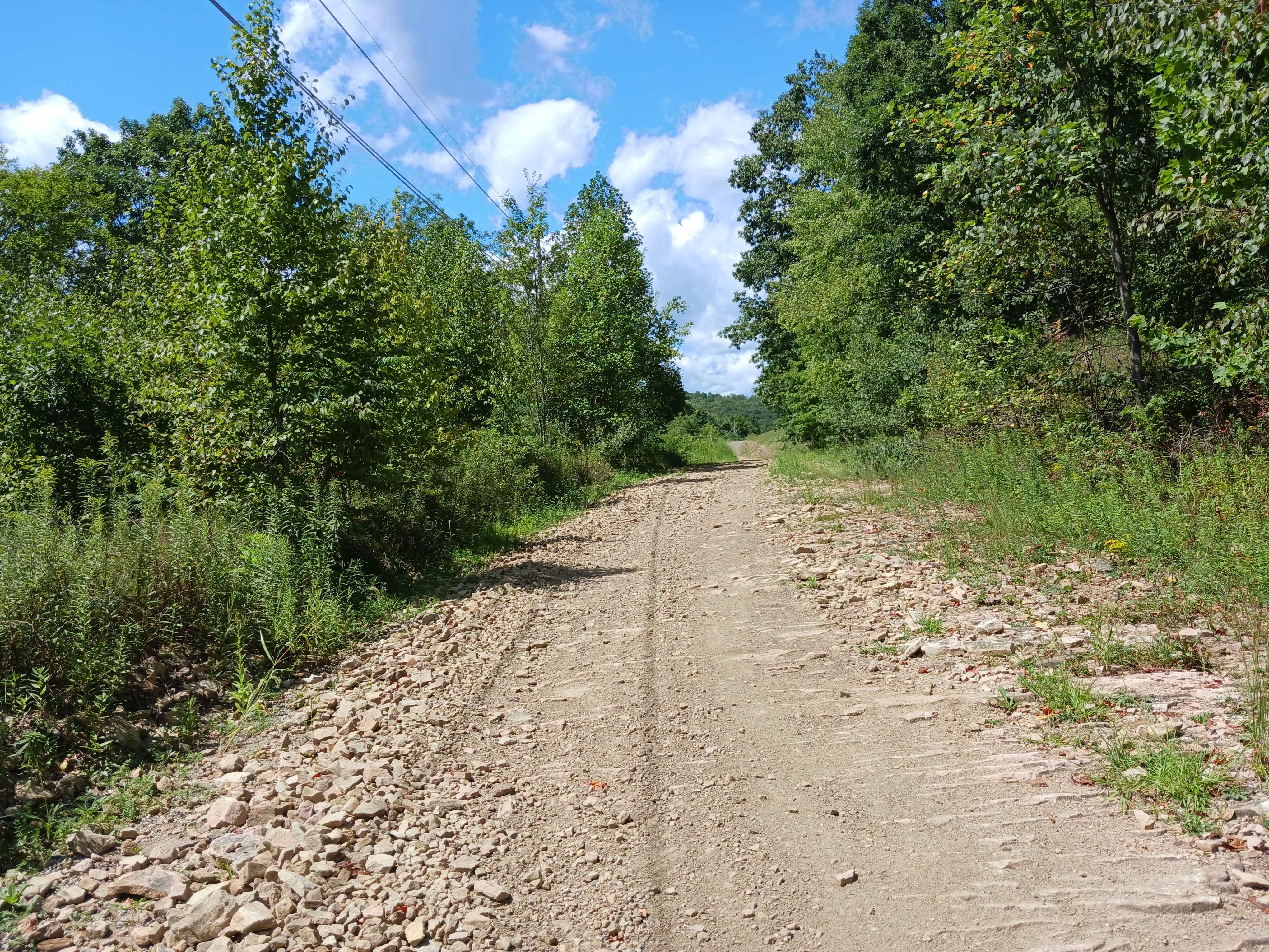
Trail Overview
This narrow, rocky, and muddy trail is in the Montage Tract of Pinchot State Forest. The bottom section of the trail follows along a stream and passes through the tornado scar from the 2017 storm. The trail passes below Montage Ski Resort and a lake before dead-ending at State Forest Boundary. The upper section travels a short distance and ends at the backside of Lake Scranton at the State Forest Boundary. Both sections are narrow, with the minimum passing room, if any. Neither section will be plowed. Downed trees, rock falls, and washouts will be encountered. Please tread lightly and respect private property.
Photos of Ore Mine Road
Difficulty
narrow rocky trail with tight sections. stock SUVs will be fine. turn around at boundary on bottom section can be tight and muddy.
History
originally a mine access road for a Iron Ore Mine.
Status Reports
Ore Mine Road can be accessed by the following ride types:
- High-Clearance 4x4
- SUV
Ore Mine Road Map
Popular Trails
Darkwater 7
Rouges Harbor Road - Rock Run Recreation Area
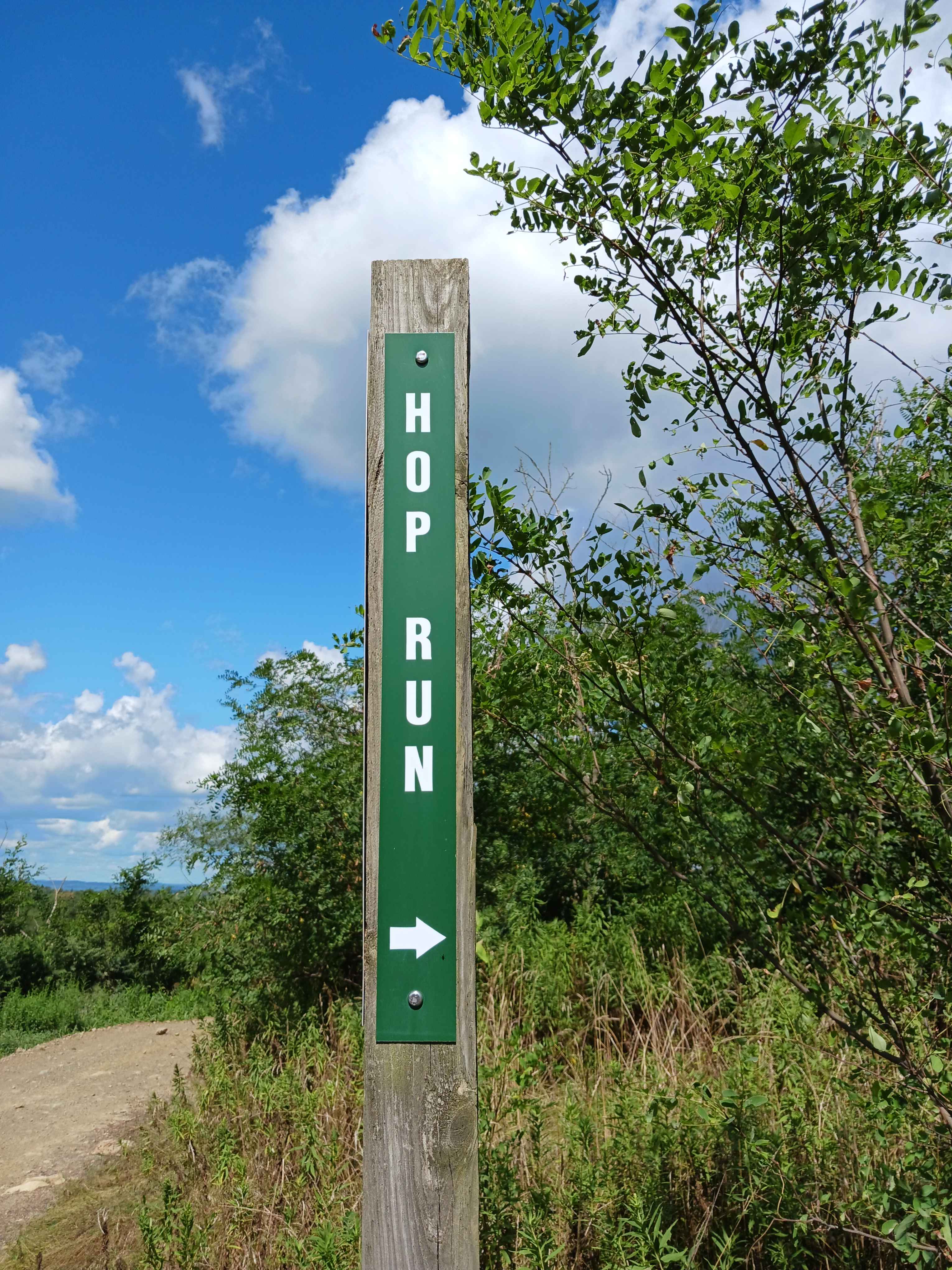
Hop Run - Rock Run Recreation Area
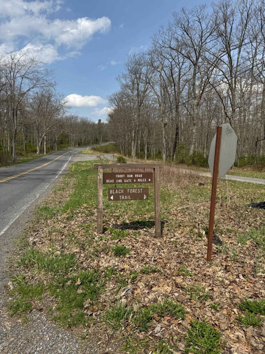
Trout Run Road North
The onX Offroad Difference
onX Offroad combines trail photos, descriptions, difficulty ratings, width restrictions, seasonality, and more in a user-friendly interface. Available on all devices, with offline access and full compatibility with CarPlay and Android Auto. Discover what you’re missing today!