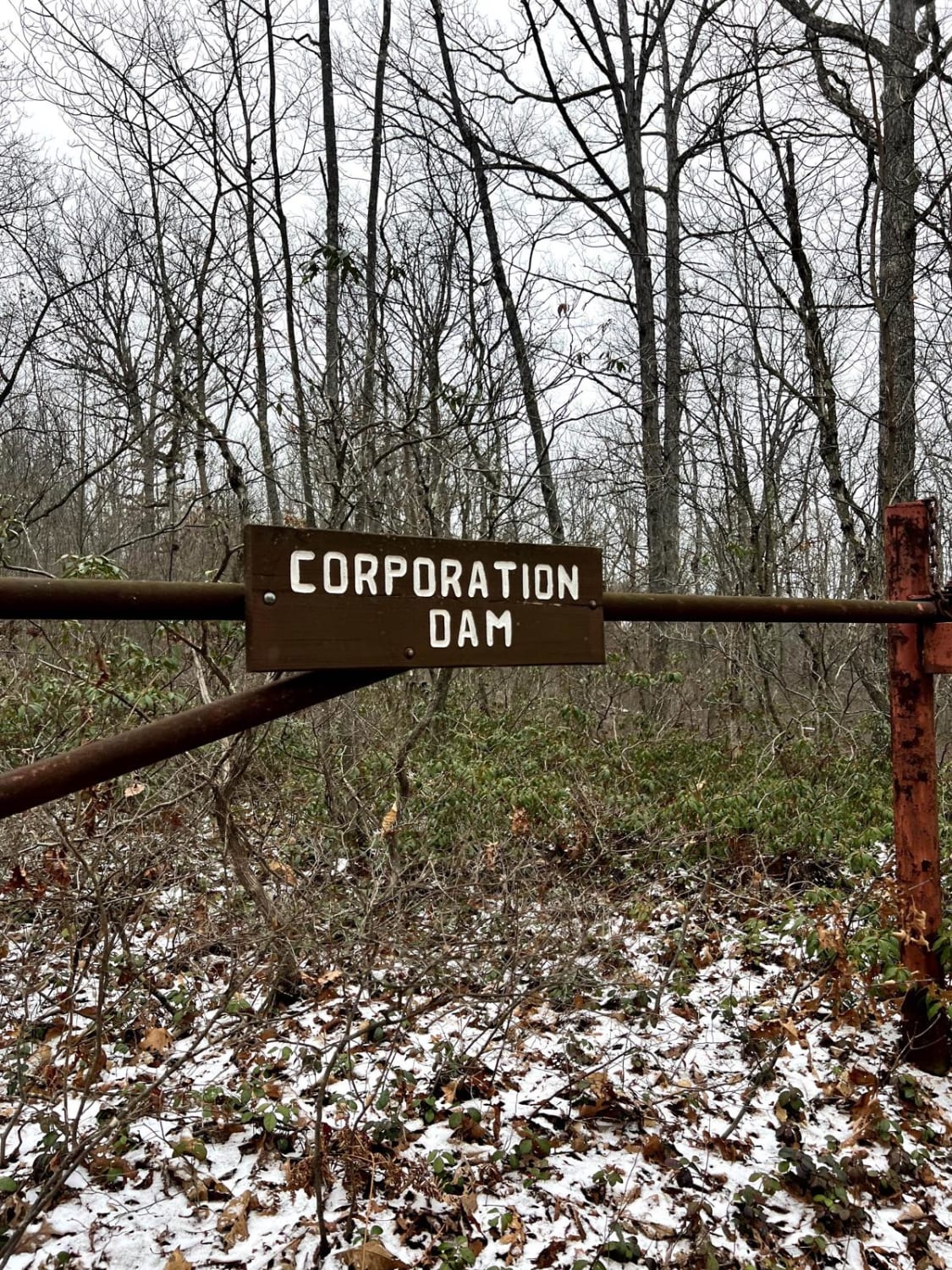
Corporation Dam Trail
Total Miles
0.8
Technical Rating
Best Time
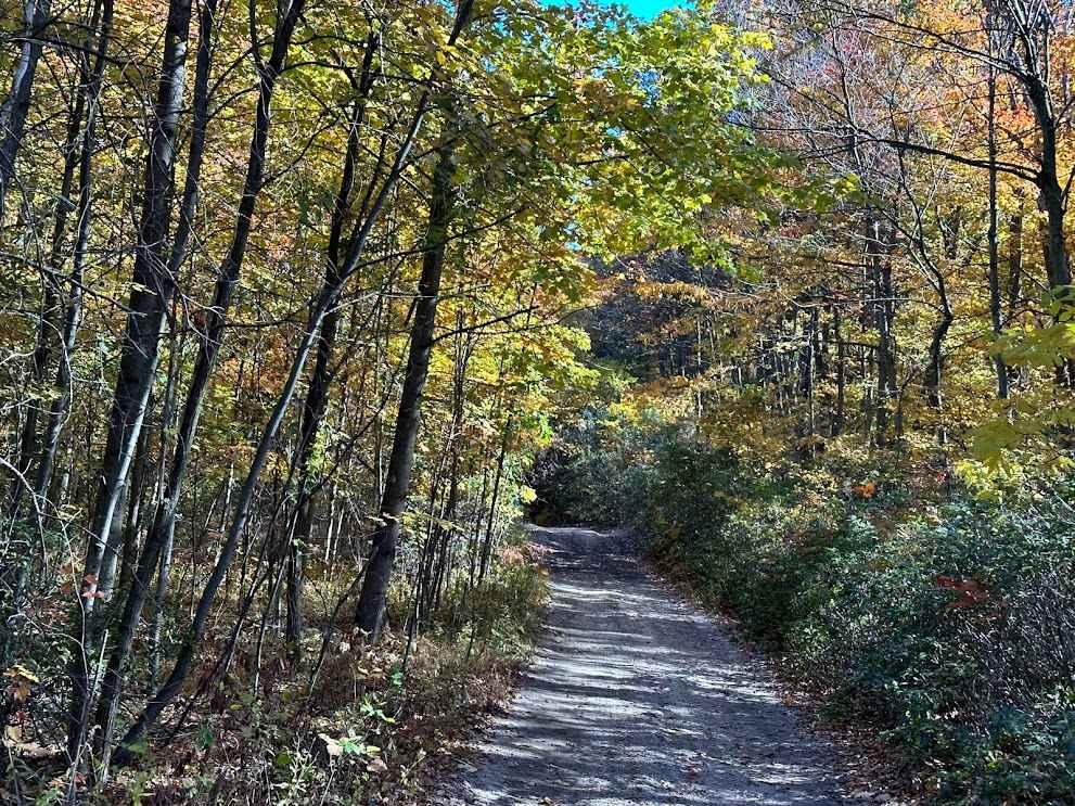
Summer, Fall
Trail Type
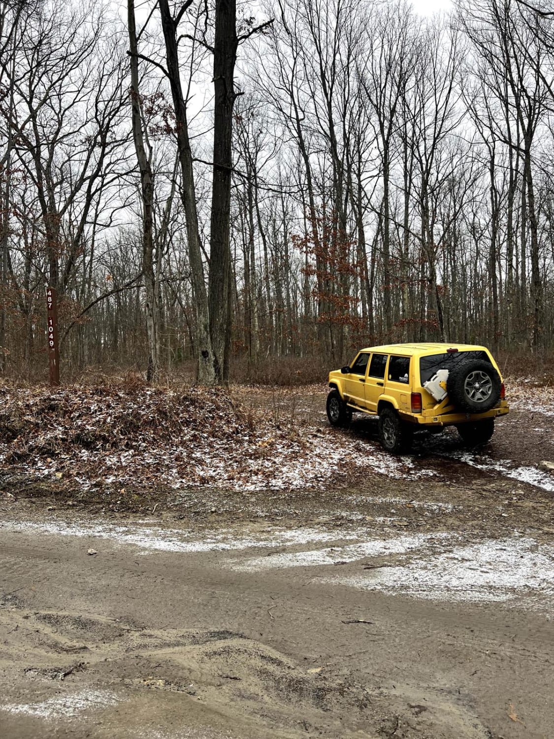
Full-Width Road
Accessible By
Trail Overview
This is a beautiful trail cut into the side of a mountain. This trail is narrow but well-shouldered. There is a beautiful flat spot at the bottom for fishing, lunch, or a hike. The confluence of Gifford Run and Mosquito Creek is right at the bottom. Quehanna Trail goes through this area and it's a fun little spot to explore for a few hours! It is not advised to follow the trail across the creek as it only exists as access to a Boy Scout camp. Please tread lightly; camping is likely not permitted in this area even if it appears others have done so! This trail retains snow and can be very difficult to climb back up in winter.
Photos of Corporation Dam Trail
Difficulty
This trail is easy but steep. You will want good tires and 4-Low for climbing back up this trail, especially if there is any snow or mud.
History
"The splash dam at the bottom, called the Corporation Dam, was built in 1870 and was one of the two largest of such dams within a 60 mile range. It took about three years for the bulk of the logging to be done in the area, and the dam then went out of use. The dam was a large all-wood structure. It was built by a combination of Lock Haven and Williamsport lumbermen, joining their money and warrant holdings, thus accounting for the name. At the bottom walk over to the right and look across to the opposite side. The dam was built at the junction of three streams: Mosquito Creek, Gifford Run, and Twelvemile Run. Now turn and look upstream. You will note the relatively high silt banks that the streams have cut through. Apparently the water level was that high in floods, and dumped its silt behind the dam when that still existed." - Excerpt from Ralph Seeley in the KTA newsletter, August 2009
Status Reports
Corporation Dam Trail can be accessed by the following ride types:
- SUV
Corporation Dam Trail Map
Popular Trails

St. Keirns 48

Locust Gap 82
102 to Bootlegger C
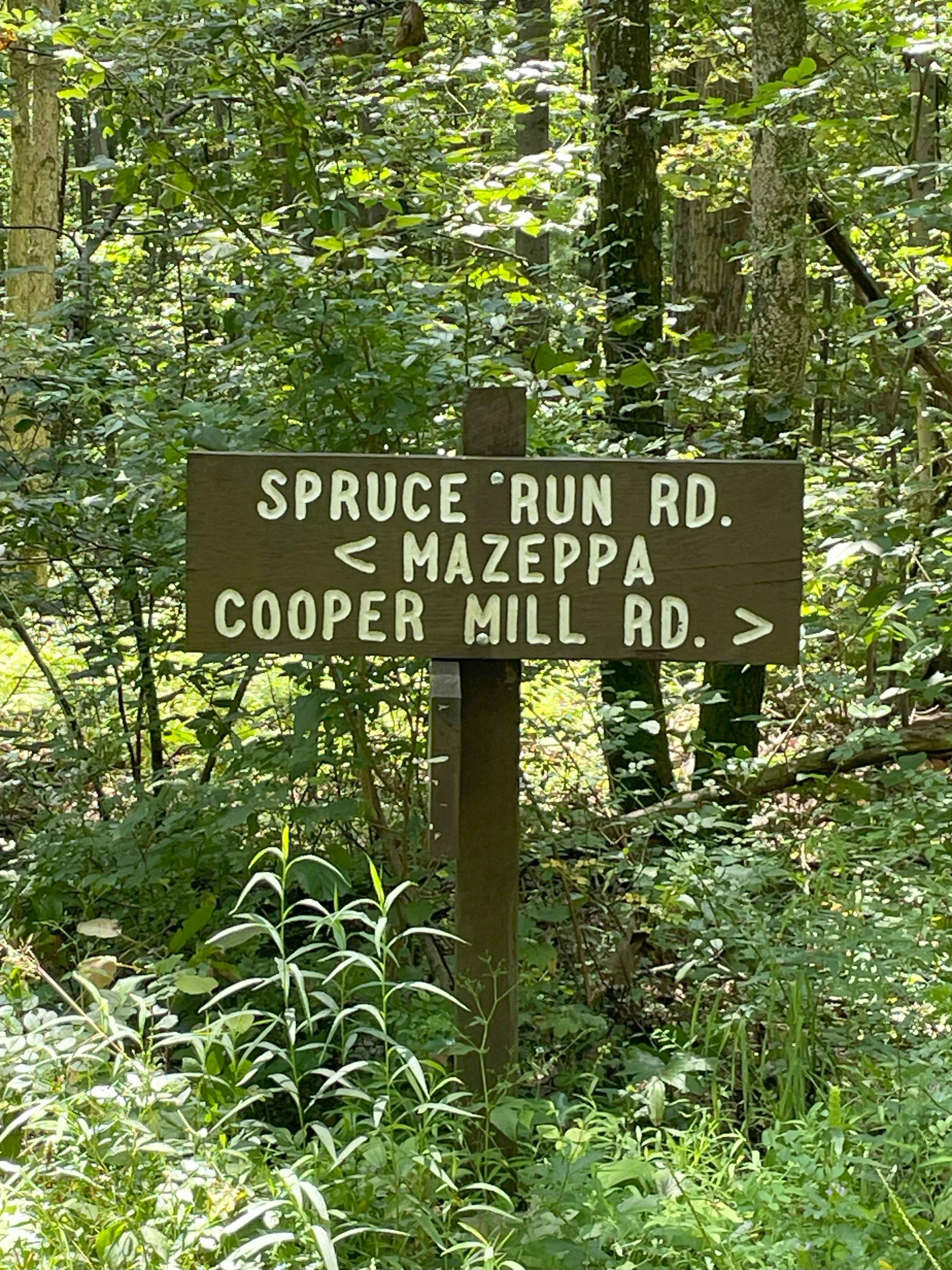
Spruce Run Road
The onX Offroad Difference
onX Offroad combines trail photos, descriptions, difficulty ratings, width restrictions, seasonality, and more in a user-friendly interface. Available on all devices, with offline access and full compatibility with CarPlay and Android Auto. Discover what you’re missing today!