Chupaderos Spur
Total Miles
1.2
Technical Rating
Best Time
Spring, Winter, Fall
Trail Type
Single Track
Accessible By
Trail Overview
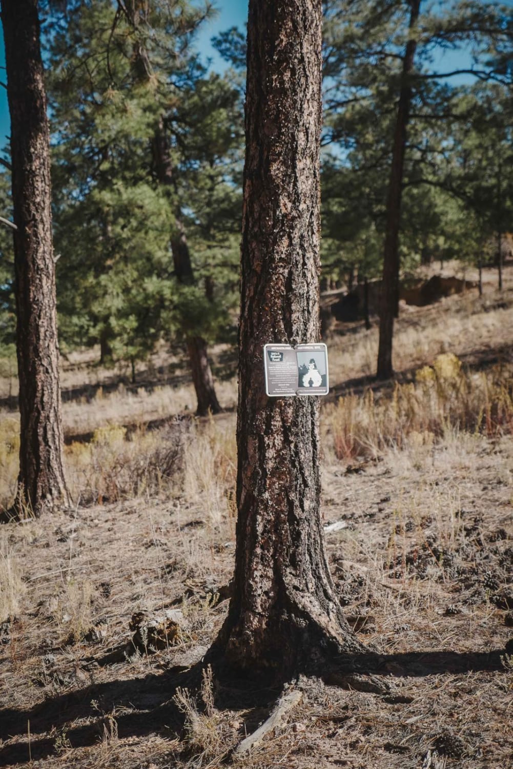
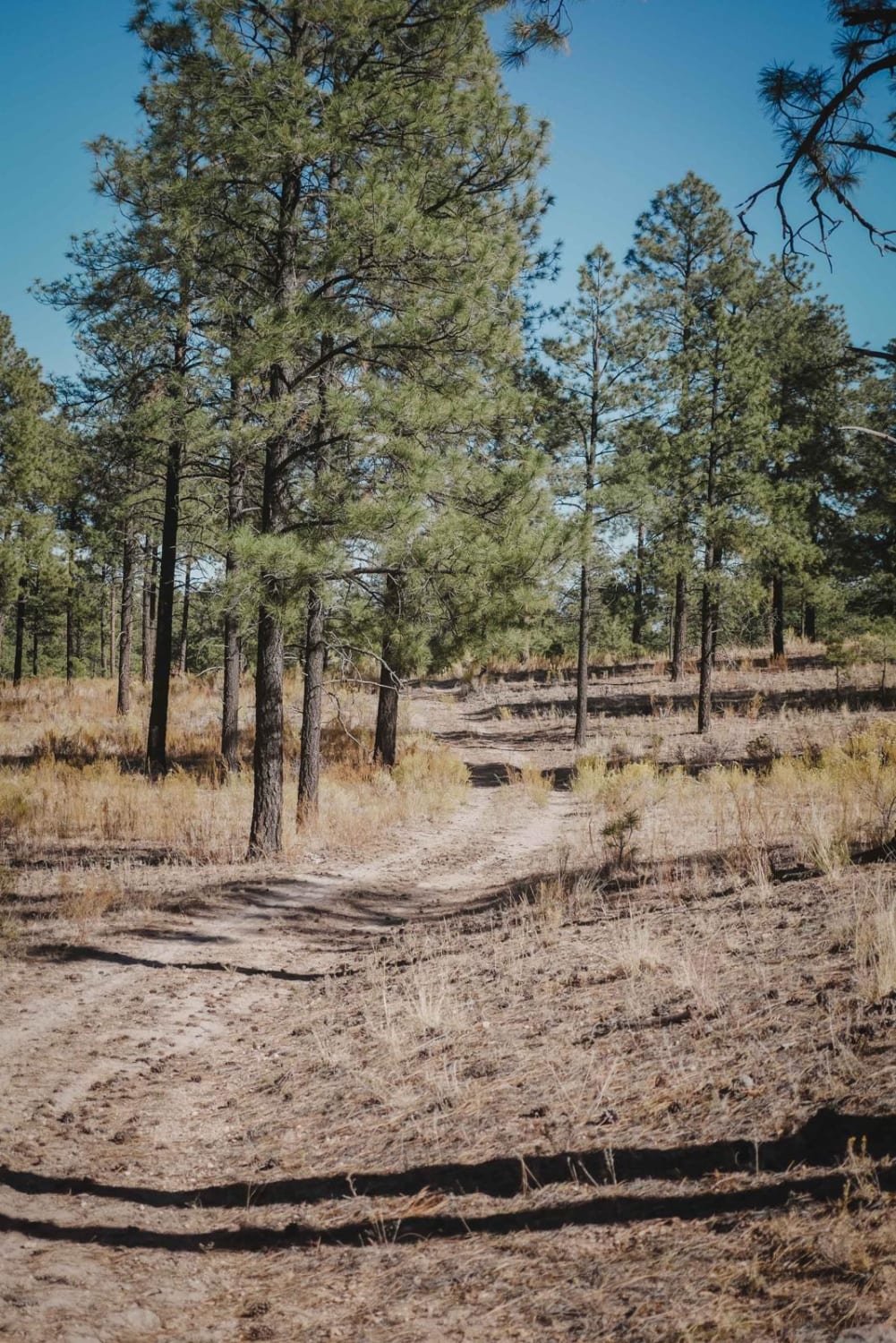
Chupaderos Spur is an easy road-width trail that starts off Chupaderos Road 446. It's a dead-end trail that doesn't really end at anything but could be fun for a beginner to explore the area since it's in an Archeological Historic Site. The entrance to the trail is not marked, but there is a sign on a tree at the entrance noting the Archeological Historic Site and that artifacts shouldn't be removed. The trail is really easy. It's very wide the whole way through really tall dispersed pine trees in a grassy forest. There are lots of sudden big dips into ravines that you need to watch out for, and ruts through the trail, but overall it's very easy and kind of sandy in spots. The end peters out near the end of the GPS track. It's a bit overgrown with grass the whole way, but it's still easy enough to follow the whole time.
Photos of Chupaderos Spur
Difficulty
This is an easy road-width trail with no obstacles.
Status Reports
Chupaderos Spur can be accessed by the following ride types:
- Dirt Bike
Chupaderos Spur Map
Popular Trails
Glade North - Middle trail

Wild Horse Shortcut

Lincoln Canyon Loop

Monjeau Peak Lookout
The onX Offroad Difference
onX Offroad combines trail photos, descriptions, difficulty ratings, width restrictions, seasonality, and more in a user-friendly interface. Available on all devices, with offline access and full compatibility with CarPlay and Android Auto. Discover what you’re missing today!
