Copper Falls Mill Trail
Total Miles
2.1
Technical Rating
Best Time
Spring, Summer, Fall
Trail Type
Full-Width Road
Accessible By
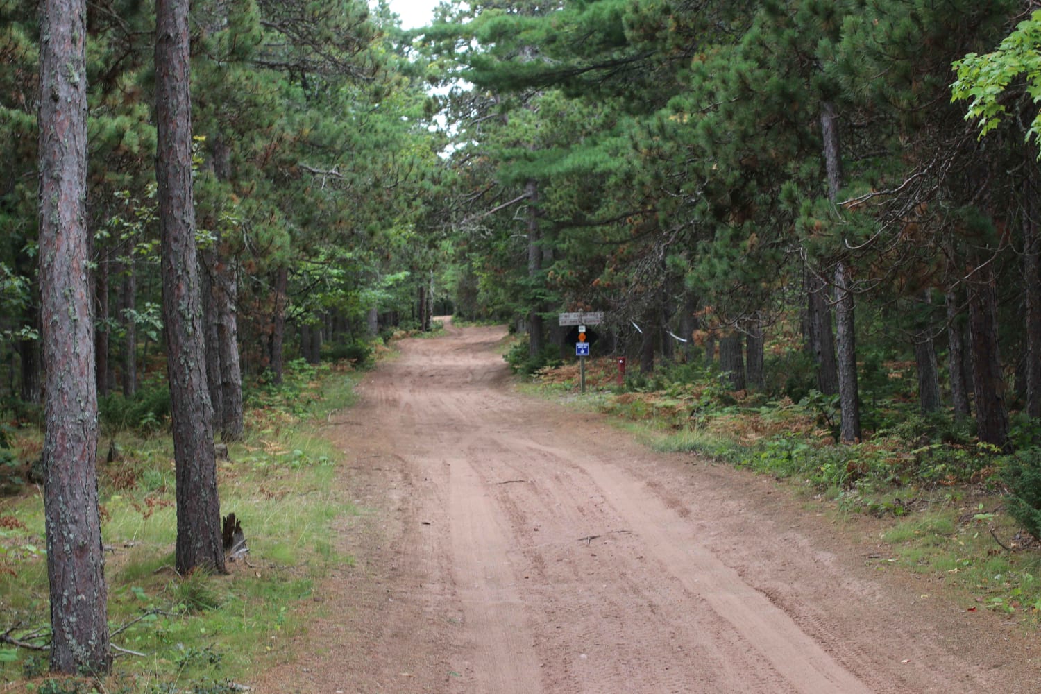
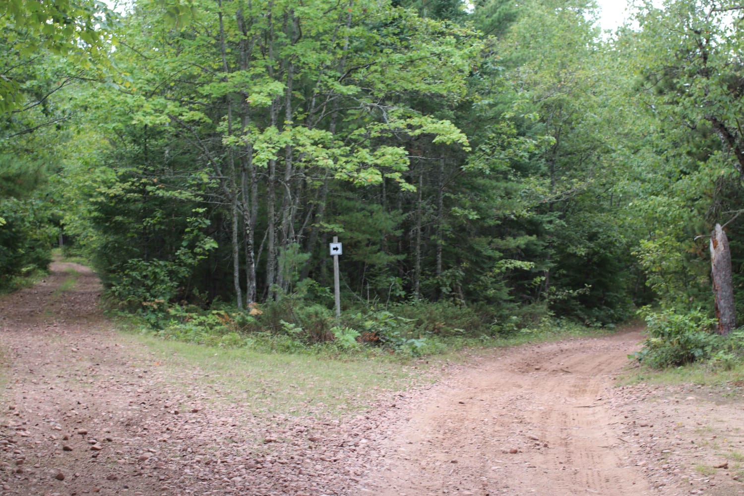
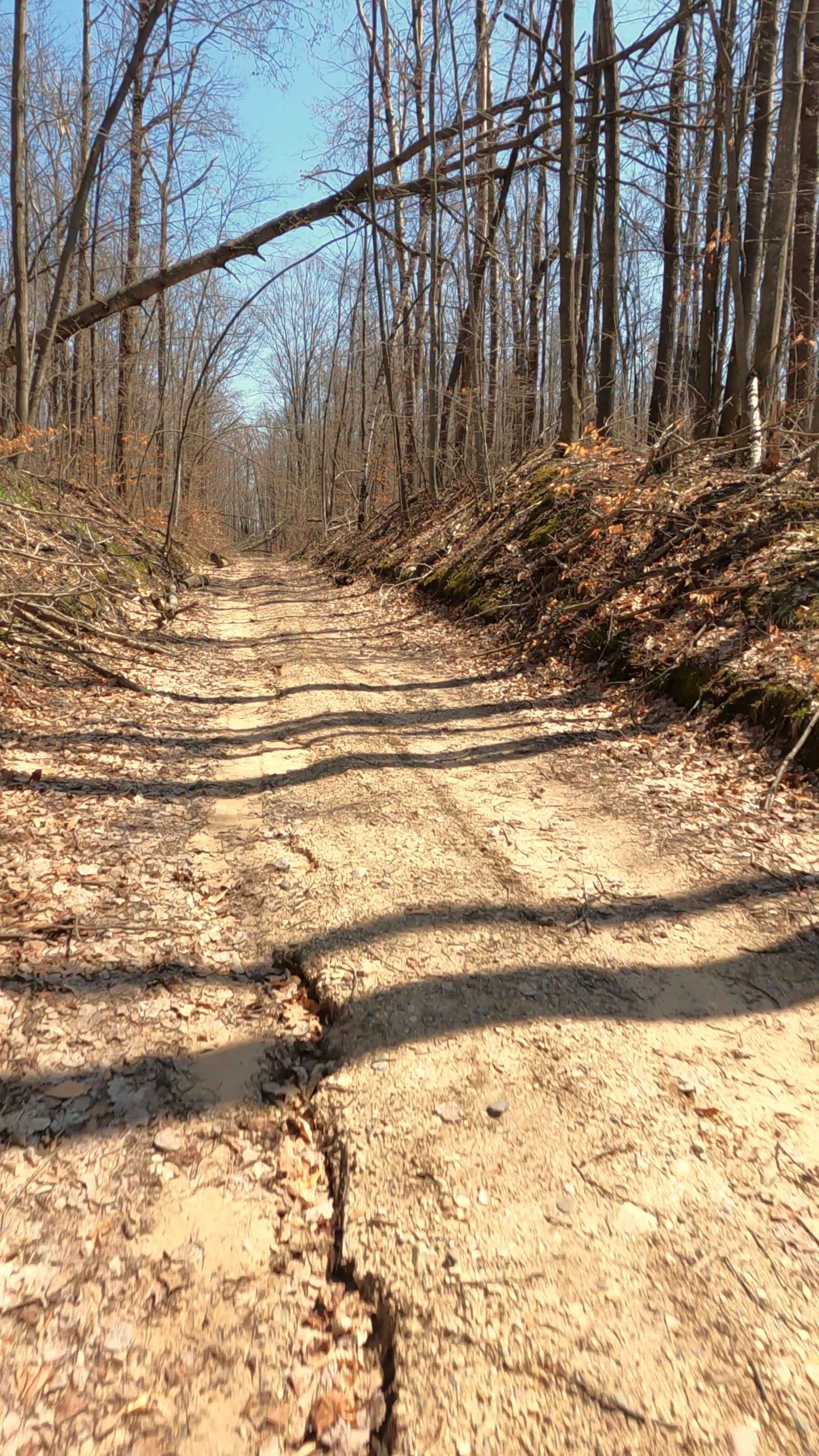
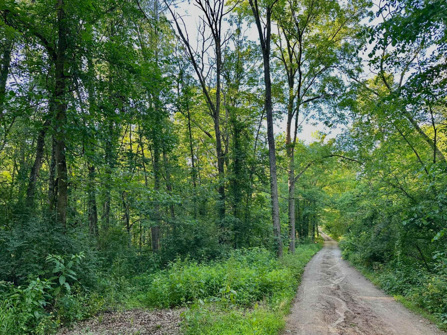
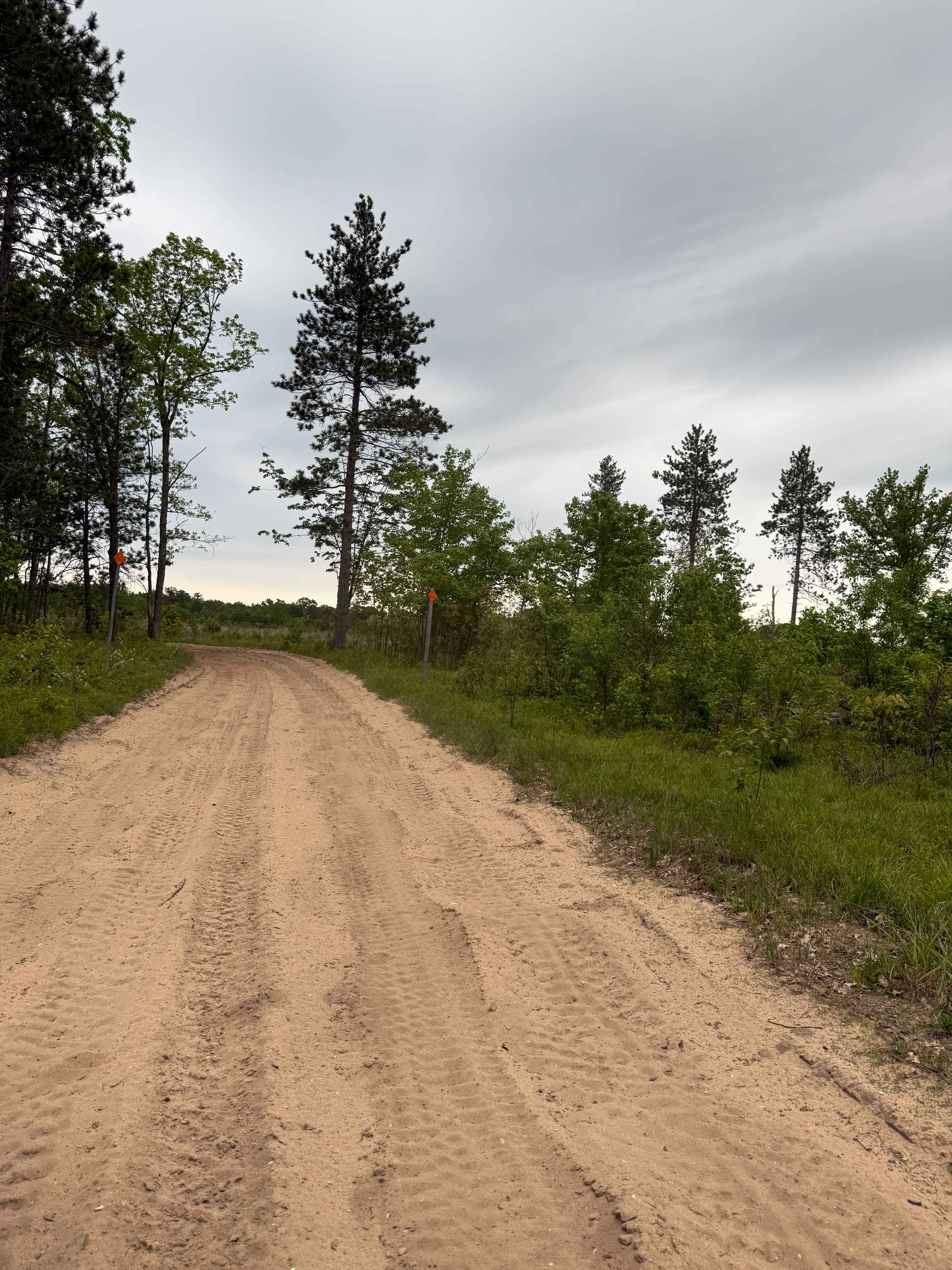
Trail Overview
This two-track trail starts off easy but turns rocky and mildly steep as it goes on. If you can find it, there is an old Copper mine entrance where Owl Creek flows out of the Copper Falls Mine. The trail is narrow and may cause some unwanted scratches on wider vehicles.
Photos of Copper Falls Mill Trail
Difficulty
Trail is mostly sand and rock with a solid bottom, water holes can be deep at times but easily passable. The rocky climb near the return to Eagle Harbor Rd can be hard for inexperienced drivers.
History
This is a historic Railroad grade for the Copper Falls Stamp Mill that once stood at the end of the road.
Status Reports
Copper Falls Mill Trail can be accessed by the following ride types:
- High-Clearance 4x4
- SUV
- Dirt Bike
Copper Falls Mill Trail Map
Popular Trails
Robinson Grade - FS 4582
Lone Pine - FS 3141
Montcalm Ave Northeast Trail
North Boardman River Trail
The onX Offroad Difference
onX Offroad combines trail photos, descriptions, difficulty ratings, width restrictions, seasonality, and more in a user-friendly interface. Available on all devices, with offline access and full compatibility with CarPlay and Android Auto. Discover what you’re missing today!