Upper Buttermilk Road
Total Miles
5.4
Technical Rating
Best Time
Spring, Summer, Fall
Trail Type
Full-Width Road
Accessible By
Trail Overview
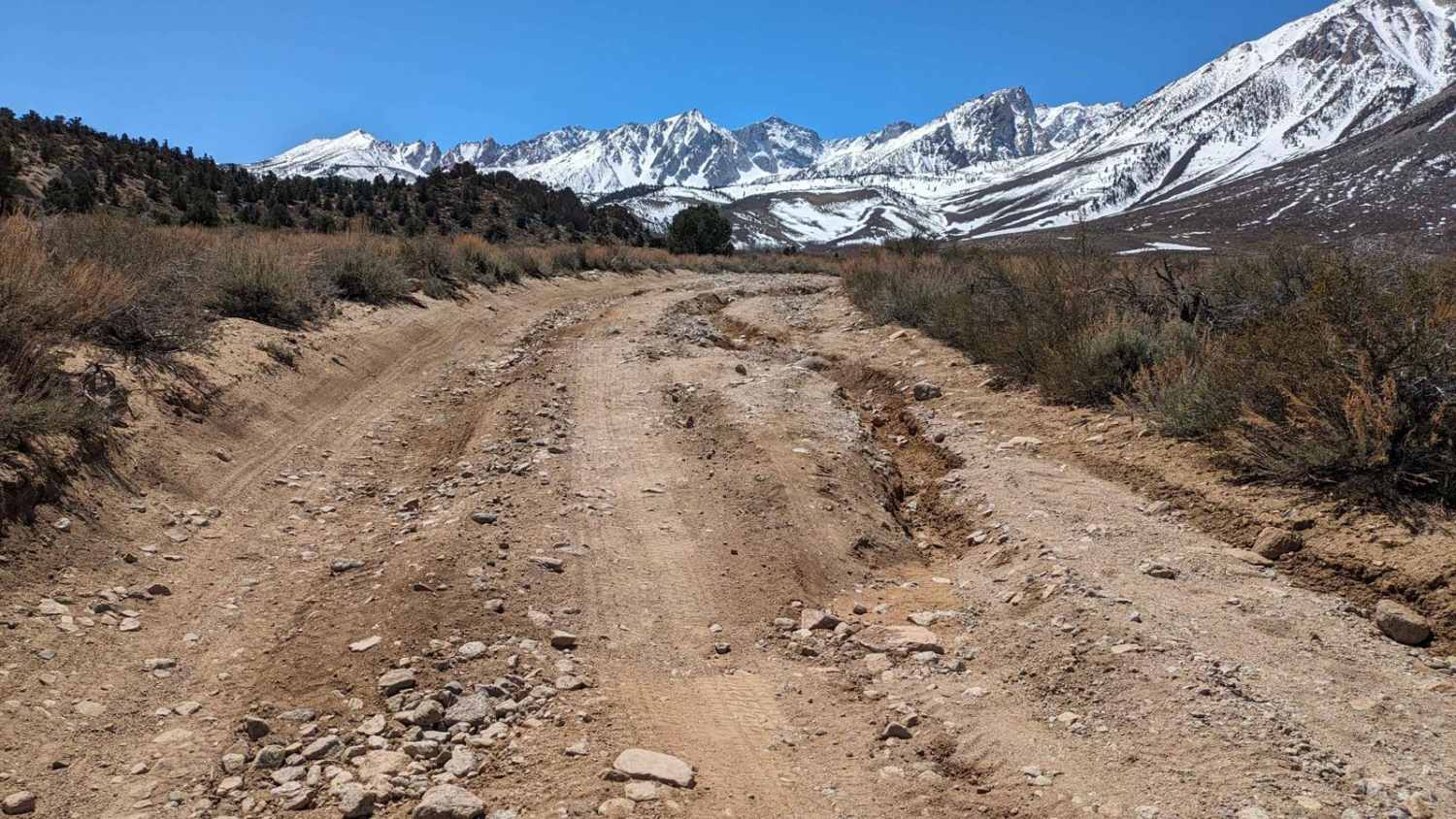
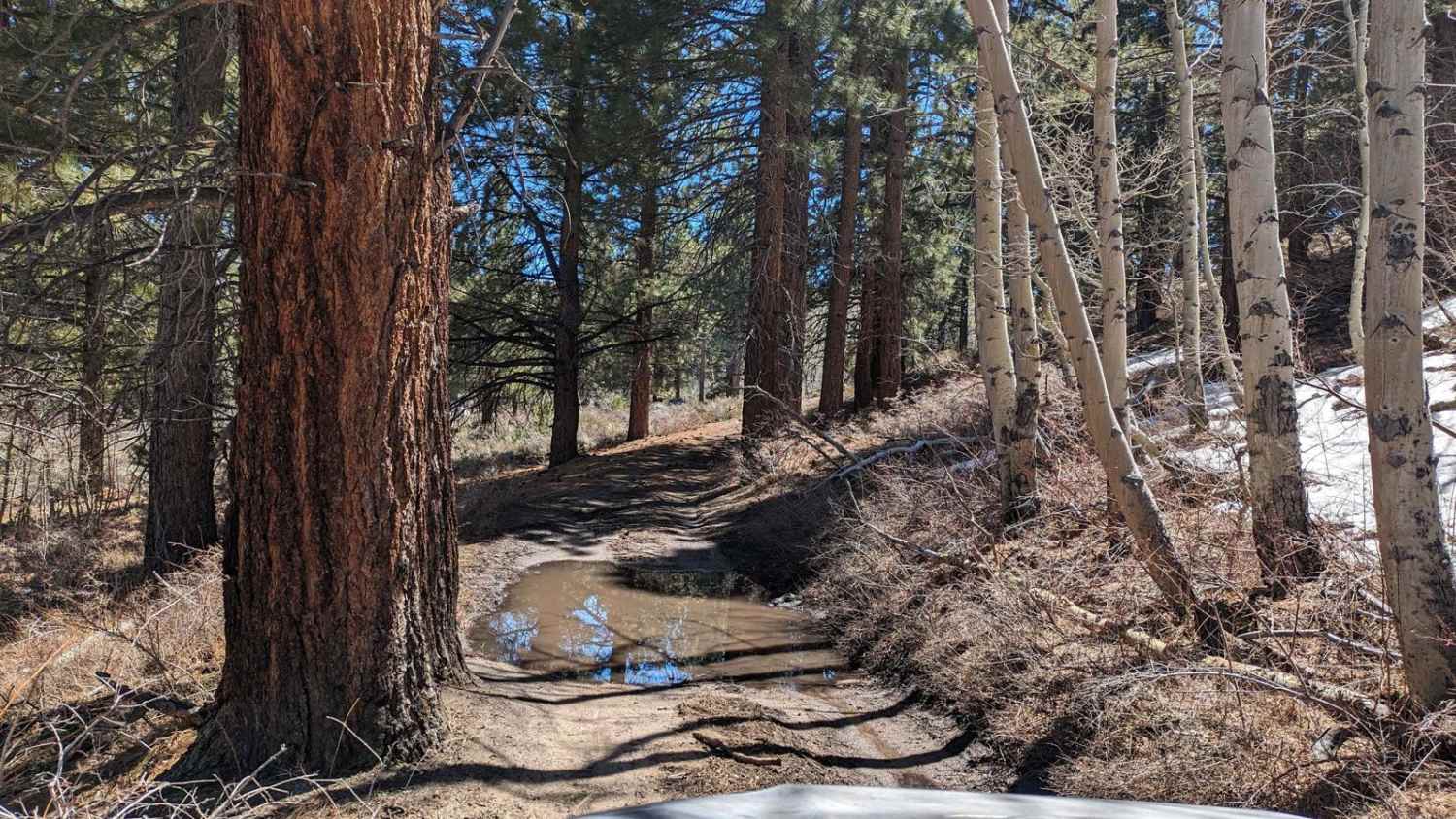
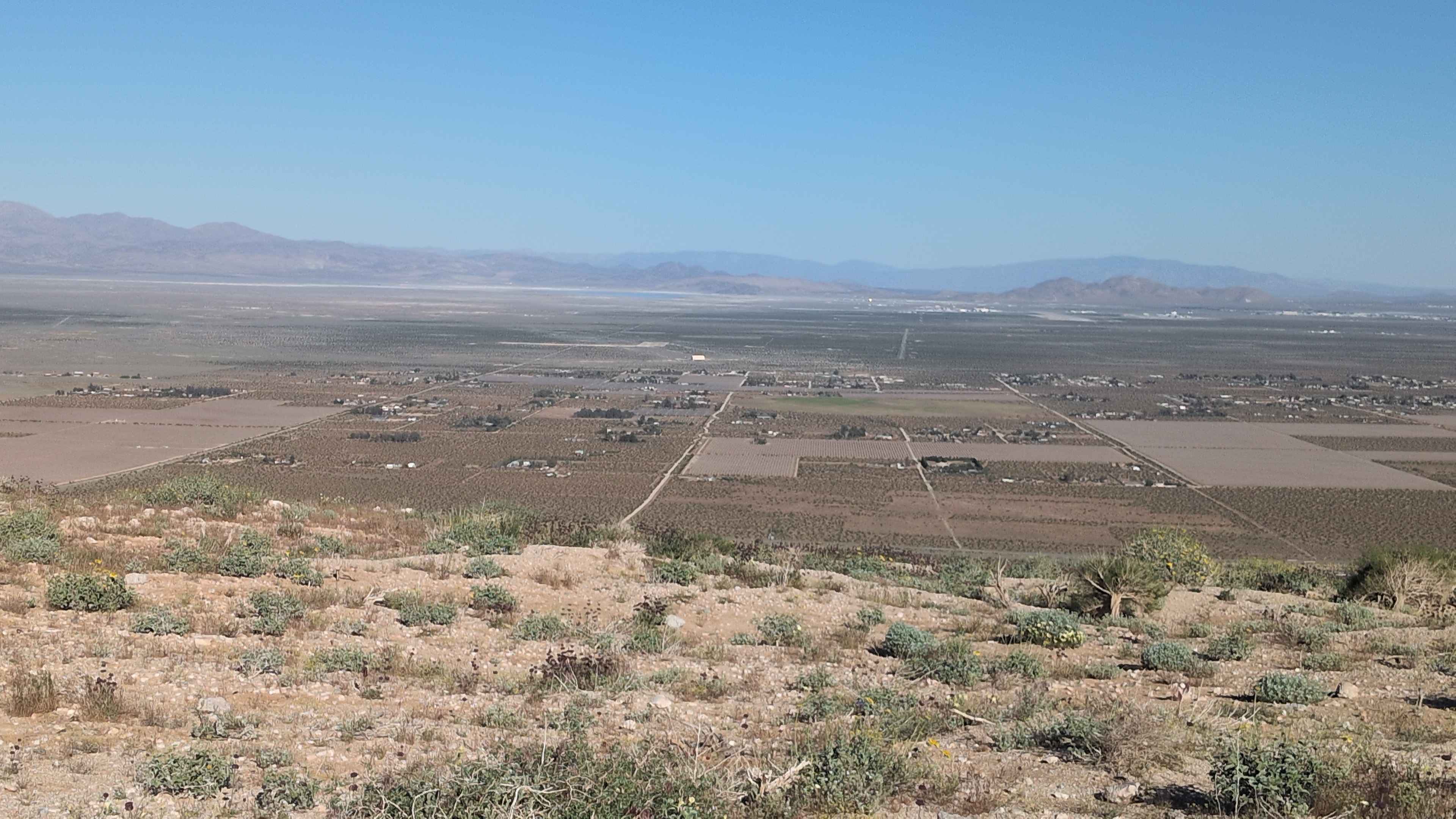
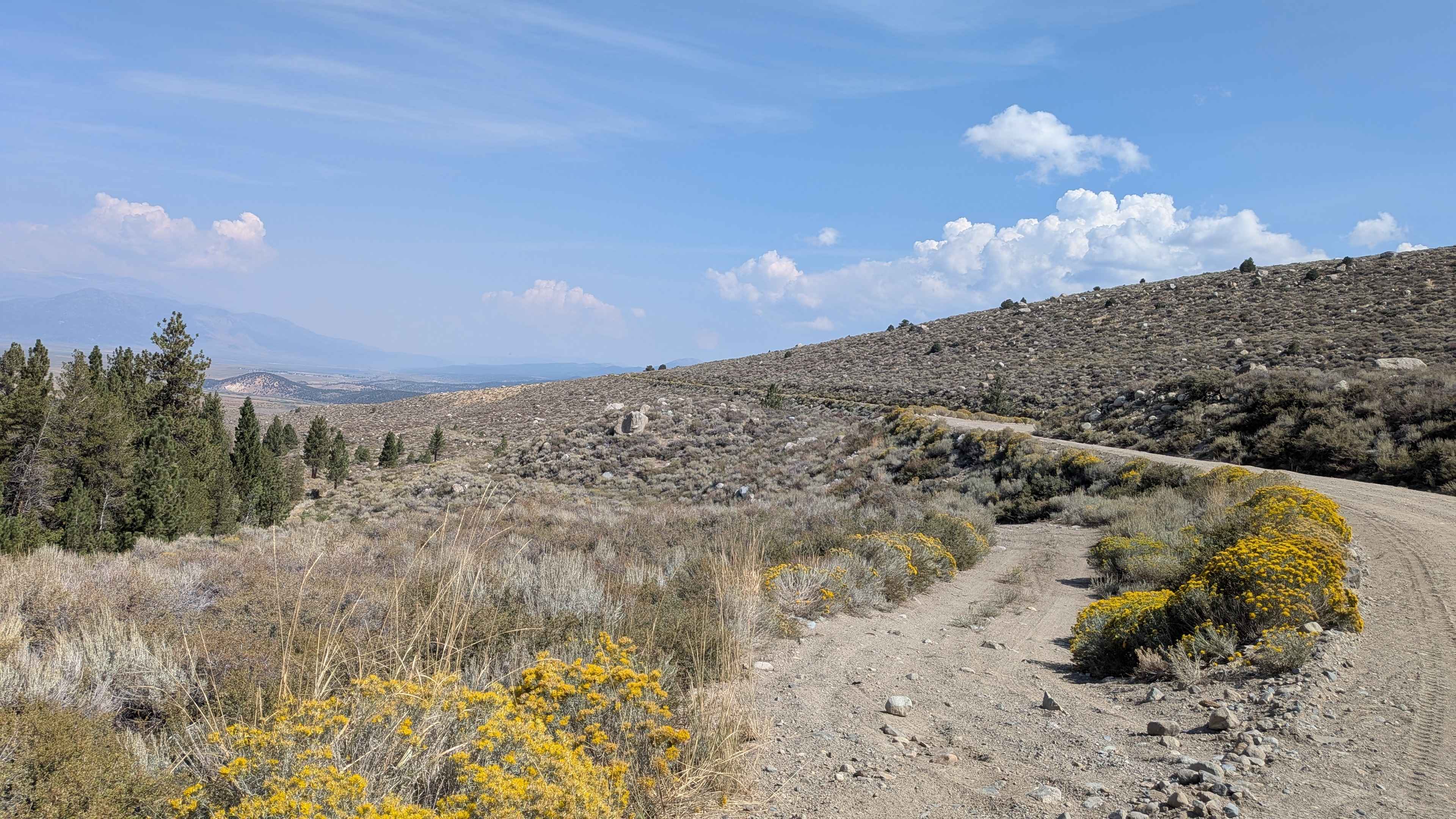
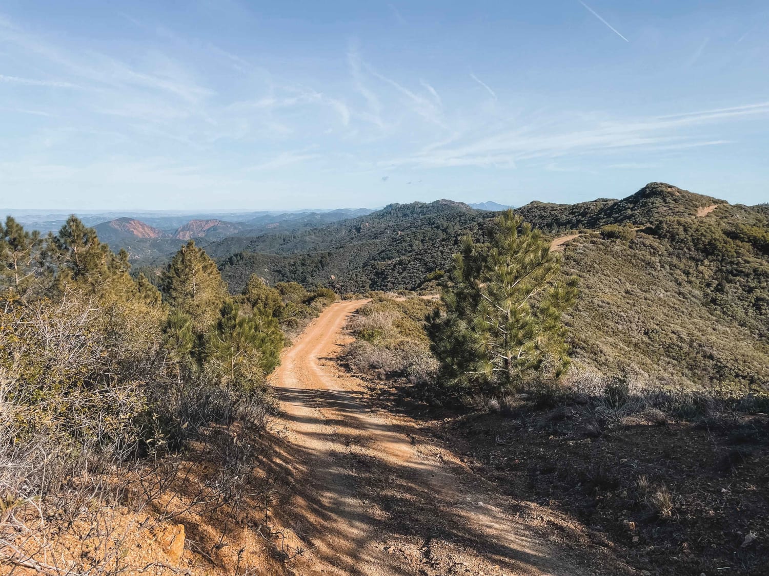
The trail starts just before the Buttermilk Bouldering Climb Area and Dispersed Camping Area. The first 1.5 miles is dirt, but it gets very rocky quickly. There are a few sections that are heavily rutted due to water run-off. The trail climbs from 5,889 feet up to 7,910 feet. There are stunning views of the White Mountains to the east, the Eastern Sierras to the west, and the Buttermilk boulders. It also crosses through a California State Wildlife area. The rocky sections ease up as you enter a meadow area. There are a few challenging rock gardens near the top section of the trail that are crossable with high-clearance vehicles. The last section leaves the open valley area and goes into a forest section. There are a few water crossings created from streams and snow melt. The last section can be impassable in early spring due to snow and water.
Photos of Upper Buttermilk Road
Difficulty
The middle section of the trail is very rocky. These are small rocks that are very bumpy and require slow travel. There are a few rock gardens near the end of the trail that require high-clearance vehicles. A few water crossings are also encountered near the end of the trail after rain and snowmelt.
Status Reports
Upper Buttermilk Road can be accessed by the following ride types:
- High-Clearance 4x4
- SUV
- Dirt Bike
Upper Buttermilk Road Map
Popular Trails

Pack Saddle Drop
Old Green Creek Road
South Coast Road
The onX Offroad Difference
onX Offroad combines trail photos, descriptions, difficulty ratings, width restrictions, seasonality, and more in a user-friendly interface. Available on all devices, with offline access and full compatibility with CarPlay and Android Auto. Discover what you’re missing today!