
Off-Road Trails
Near Plantsville, Connecticut
Off-Road Trails Near Plantsville, Connecticut
Discover the best offroad trails near you. Browse trail maps, check difficulty ratings, and find your next adventure — whether you're looking for a quick ride or an all-day expedition.
Thomaston Dam Loop
Thomaston Dam Loop is a moderate dual-sport style ride best suited for experienced dirt bike riders looking for a mix of flowing singletrack and faster gravel segments within a controlled OHV area. Located along the Naugatuck River corridor just north of Thomaston Dam, this motorcycle-only trail sys...
Learn more about Thomaston Dam Loop
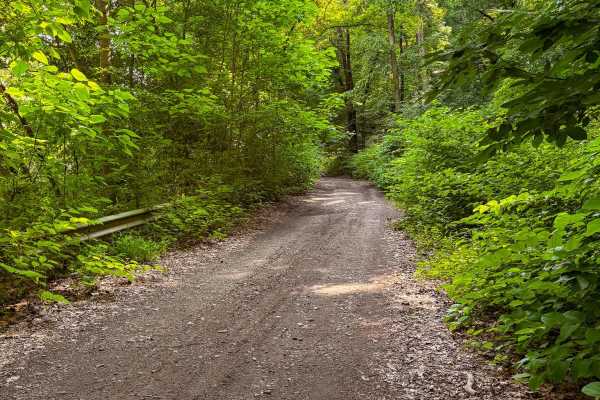
Cold Springs Road
This short, unmaintained dirt road offers a rugged entryway into the 5,000-acre Naugatuck State Forest. Most of the trail is only one vehicle wide and runs directly alongside an active railroad, adding a unique backdrop to the drive. While brief, the route features deep ruts and significant mud pudd...
Learn more about Cold Springs Road
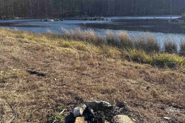
Del Reeves Road
This mellow backroad route through Meshomasic State Forest follows a rough, mostly dirt track with a few gravel sections mixed in. It’s doable in nearly any vehicle, but something with off-road durability makes the ride smoother, especially when the ruts deepen, or rain turns things muddy. You’ll pa...
Learn more about Del Reeves Road
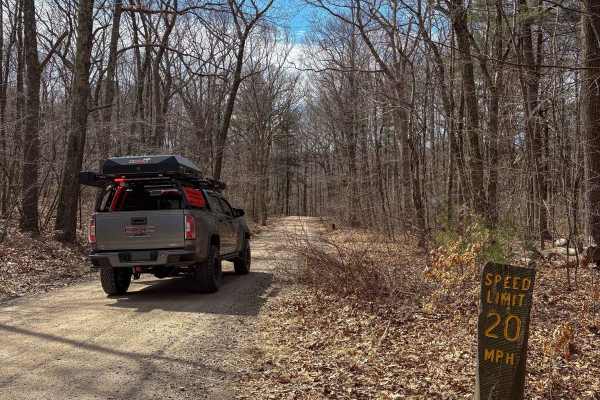
Del Reeves & North Mulford Roads
This is an easy cruise through Meshomasic State Forest along an unmaintained, mostly dirt road with some gravel sections. While it's passable in almost any vehicle, I recommend something with off-road capability due to frequent bumps, ruts, and the occasional mud hole--especially after a good rain. ...
Learn more about Del Reeves & North Mulford Roads
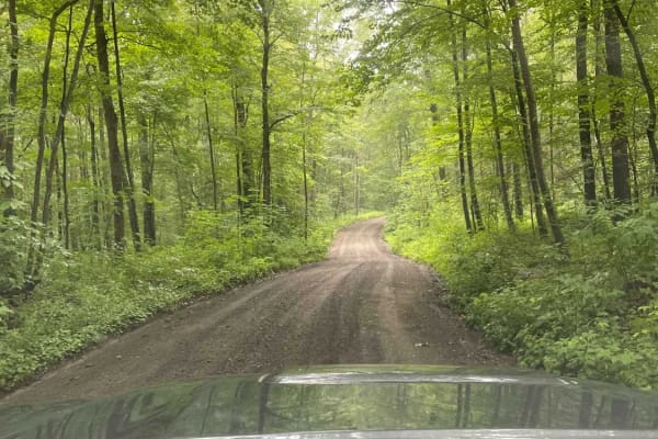
Filley Road
Serving as an entrance to the Cockaponset State Forest trail system, Filley Road is a very straightforward dirt and gravel path. The road allows for a smooth cruising experience through the forest and offers additional access to more trails in the state forest.
Learn more about Filley Road
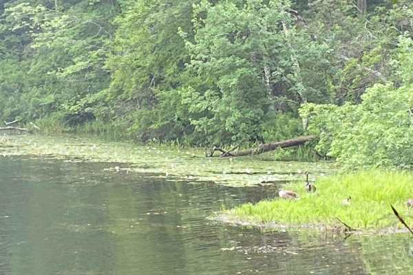
Mottlan - Jericho Road
The dirt and gravel Mottland Road to Jericho Road leads directly into the Cockaponset State Forest trail network. Enjoy a leisurely drive through the forest on this road. A 4x4 /AWD is not needed to drive this road in regular conditions.
Learn more about Mottlan - Jericho Road
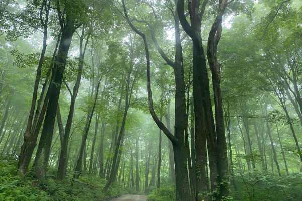
Old Country Road
In order to access the trail system of the Cockaponset State Forest, Old Country Road is a very straightforward dirt and gravel entrance. The road allows for a smooth cruising experience through the state forest.
Learn more about Old Country Road
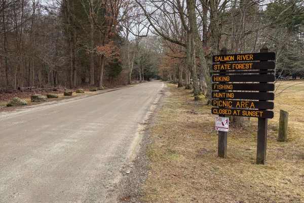
Gulf Road
This easy dirt road cuts through Salmon River State Forest, offering a smooth ride with a few rockier sections--nothing a stock 2WD vehicle can't handle with a bit of care. After rainfall, you may encounter some muddy spots and shallow puddles, typically less than 12 inches deep. The road is wide en...
Learn more about Gulf Road
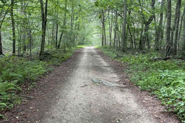
Tower Hill Road to Spruce Ledge Road
This trail is a straightforward path; however, there are sections that have puddle crossings that range from six to ten inches in size and require some ground clearance. The majority of obstacles are very straightforward and can be overcome with a stock vehicle. This road is located in the southern ...
Learn more about Tower Hill Road to Spruce Ledge Road
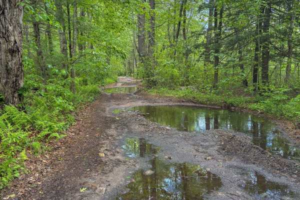
Miles Standish Road
Like many dirt roads in Connecticut, this one winds through the Babcock Pond Wildlife Management Area, offering a fun and scenic ride. Expect a few deep mud holes--nothing a stock 4WD vehicle can't handle with a bit of caution. After rainfall, some mud holes can exceed 12 inches in depth. The road i...
Learn more about Miles Standish Road
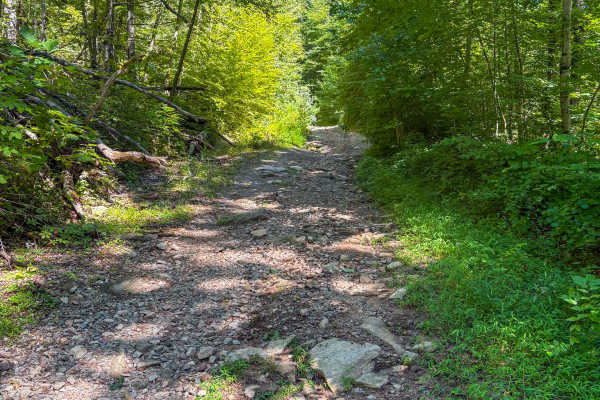
Shenipsit Trail System
This scenic trail winds through Shenipsit State Forest, offering a mix of challenging and easy terrain. Starting from Kibbe Road, expect some tight, narrow sections where pinstriping is likely for full-size trucks. There are also a few small, off-camber sections to navigate. The trail opens up after...
Learn more about Shenipsit Trail System
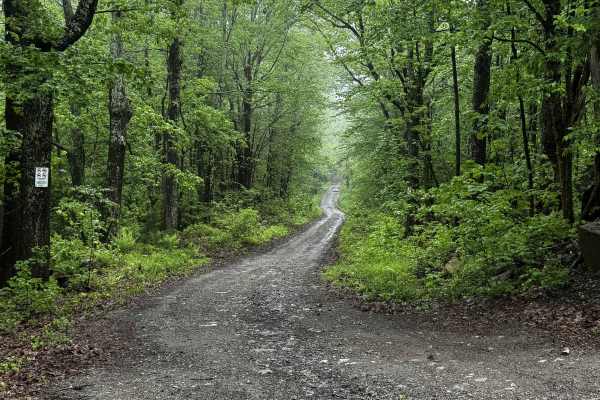
Blandford Road
Blandford Road begins off of Schoolhouse Road in Tolland and heads west, ending just over the Granville line. Trail provides access to the southern portion of Amos Case Road as well as some other routes in the area. With two intersections along the route, stay right at the first and left at the seco...
Learn more about Blandford Road
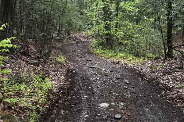
Charles Farnum Road
Charles Farnum Road is the continuation of Blandford Road from the Tolland/Granville town lines east into Granville. The road crosses over gas lines and is rather overgrown in sections. The first portion of the trail is freshly bulldozed, but ends at the gas lines, while the trail continues across t...
Learn more about Charles Farnum Road
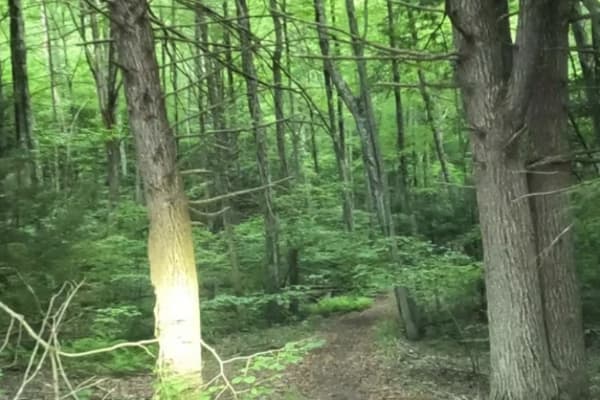
Old Spencer Road
This track is very overgrown;it's super tight to start with branches all over the sides and top of your rig. The cell service is decent, but the GPS gets a little confused at times. The majority of the track is dirt;there are some decent-sized boulders you'll have to crawl over, there is a spot with...
Learn more about Old Spencer Road
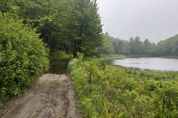
Amos Case Road - North Section
Surrounded by wetlands on all sides, Amos Case Road is an old through route connecting Otis-Tolland Road to Blandford Road. The trail begins at the intersection of Otis-Tolland Road and Curtis Hall Road and travels south. This is an out-and-back route as the road is now washed out and covered by wet...
Learn more about Amos Case Road - North Section
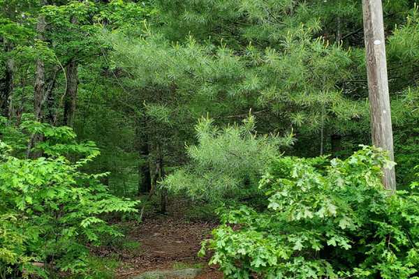
Sully's Way
This track is very overgrown. If you like your paint, don't go down it. It does open up after the beginning, but it's super tight to start with branches all over the sides and top of your rig. The cell service is decent, but the GPS gets a little confused at times. The majority of the track is dirt;...
Learn more about Sully's Way
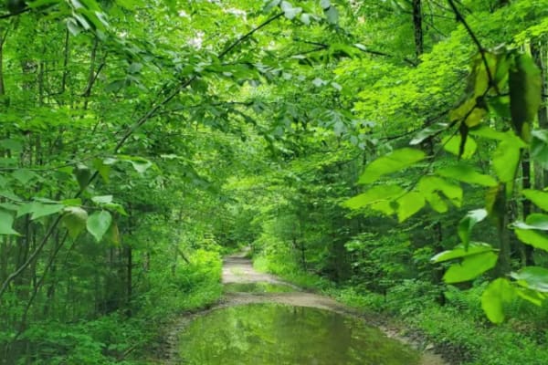
Hampden Road
Level 1, besides one water crossing, which I'd give a 2 for a 4x4, single track wide, mostly rough gravel, overgrown slightly, will cause some scraping on the paint, it's maintained a little bit with clearing trees that fell, starts in Stafford Springs, Connecticut then ends in Hampden Massachusetts...
Learn more about Hampden Road
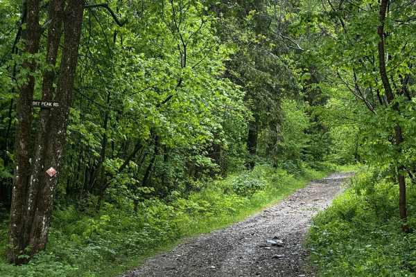
Sky Peak Road
Sky Peak Road is a short connector between Beartown Mountain Road and Wilcox Mountain Road. The trail begins from Beartown and climbs from 1760 to 1900 feet in the short 0.7 miles of the trail over loose rock. The trail is well-graded in most sections, with some showing exposed rock. The trail ends...
Learn more about Sky Peak Road
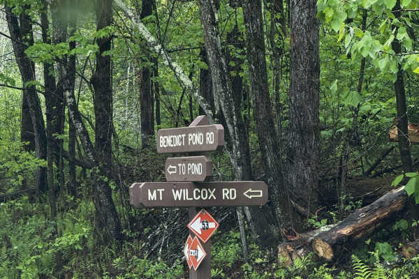
Mount Wilcox Road
Mount Wilcox Road is the main loop that meanders through Beartown State Forest. The loop is 4.3 miles and climbs from 1,600 feet to 2,100 feet. The trail begins and ends off Benedict Pond Road. Halfway through the route from either direction is a short spur that breaks off and provides access to the...
Learn more about Mount Wilcox Road
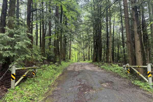
Beartown Mountain Road
Beartown Mountain Road winds its way through the northern section of Beartown State Forest. Beginning at Route 102 and travelling south into the park, the gravel begins 2 miles in. The trail begins at an unlocked gate. Remnants of pavement that deteriorated over the years are still visible from tim...
Learn more about Beartown Mountain Road
ATV trails near Plantsville, Connecticut
Explore ATV-friendly trails near you. These trails are accessible for vehicles up to 50 inches wide, perfect for ATVs and smaller off-road machines.
Del Reeves Road
This mellow backroad route through Meshomasic State Forest follows a rough, mostly dirt track with a few gravel sections mixed in. It’s doable in nearly any vehicle, but something with off-road durability makes the ride smoother, especially when the ruts deepen, or rain turns things muddy. You’ll pa...
Learn more about Del Reeves Road
Filley Road
Serving as an entrance to the Cockaponset State Forest trail system, Filley Road is a very straightforward dirt and gravel path. The road allows for a smooth cruising experience through the forest and offers additional access to more trails in the state forest.
Learn more about Filley Road
Mottlan - Jericho Road
The dirt and gravel Mottland Road to Jericho Road leads directly into the Cockaponset State Forest trail network. Enjoy a leisurely drive through the forest on this road. A 4x4 /AWD is not needed to drive this road in regular conditions.
Learn more about Mottlan - Jericho Road
Old Country Road
In order to access the trail system of the Cockaponset State Forest, Old Country Road is a very straightforward dirt and gravel entrance. The road allows for a smooth cruising experience through the state forest.
Learn more about Old Country Road
UTV/side-by-side trails near Plantsville, Connecticut
Find UTV and side-by-side trails near you. These trails accommodate vehicles up to 60 inches wide, ideal for UTVs, side-by-sides, and wider off-road rigs.
Del Reeves Road
This mellow backroad route through Meshomasic State Forest follows a rough, mostly dirt track with a few gravel sections mixed in. It’s doable in nearly any vehicle, but something with off-road durability makes the ride smoother, especially when the ruts deepen, or rain turns things muddy. You’ll pa...
Learn more about Del Reeves Road
Del Reeves & North Mulford Roads
This is an easy cruise through Meshomasic State Forest along an unmaintained, mostly dirt road with some gravel sections. While it's passable in almost any vehicle, I recommend something with off-road capability due to frequent bumps, ruts, and the occasional mud hole--especially after a good rain. ...
Learn more about Del Reeves & North Mulford Roads
Filley Road
Serving as an entrance to the Cockaponset State Forest trail system, Filley Road is a very straightforward dirt and gravel path. The road allows for a smooth cruising experience through the forest and offers additional access to more trails in the state forest.
Learn more about Filley Road
Mottlan - Jericho Road
The dirt and gravel Mottland Road to Jericho Road leads directly into the Cockaponset State Forest trail network. Enjoy a leisurely drive through the forest on this road. A 4x4 /AWD is not needed to drive this road in regular conditions.
Learn more about Mottlan - Jericho Road
The onX Offroad Difference
onX Offroad combines trail photos, descriptions, difficulty ratings, width restrictions, seasonality, and more in a user-friendly interface. Available on all devices, with offline access and full compatibility with CarPlay and Android Auto. Discover what you're missing today!
Open Trail Map