
Dirt Bike Trails
Near Wilhoit, Arizona
Explore All Dirt Bike Trails Near Wilhoit, Arizona
Dirt Bike Trails Near Wilhoit, Arizona
Discover the best dirt bike trails near you. Browse trail maps, check difficulty ratings, and find your next adventure — whether you're looking for a quick ride or an all-day expedition.
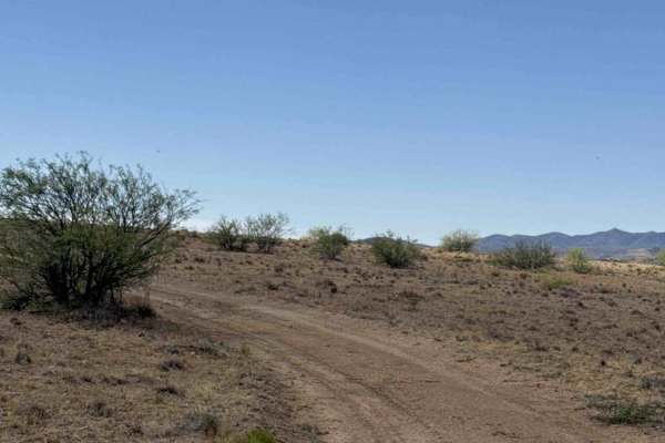
Water Pipe Pen Trail
This trail begins at the end of Upper Creek Bypass at the closed wash intersection and follows an easy full-width dirt two-track that winds around private property. The route is surrounded by desert creosote and native grasses, with approximately one bar of AT&T service available.
Along the trail, t...
Learn more about Water Pipe Pen Trail
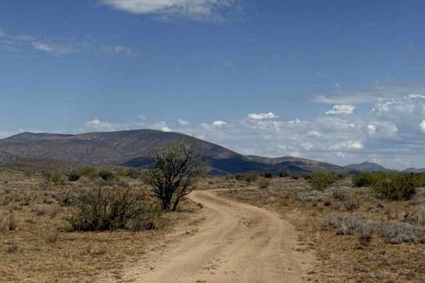
Northwest Cut Trail
The Northwest Cut traverses to the north side of this trail system, remaining above the wash. Beginning at the livestock tank, the route winds around the hillside overlooking a wash that is closed to motorized travel.
This smooth, wide two-track is suitable for both 2WD and 4WD vehicles and presents...
Learn more about Northwest Cut Trail
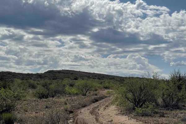
Upper Creek Bypass
This trail begins at the second section beyond the wash. Follow the fence line before turning right onto a less-traveled route consisting of larger loose gravel and embedded rocks. A State Trust Land Permit is required to access this area.
The trail is a full-width track that parallels the upper sec...
Learn more about Upper Creek Bypass
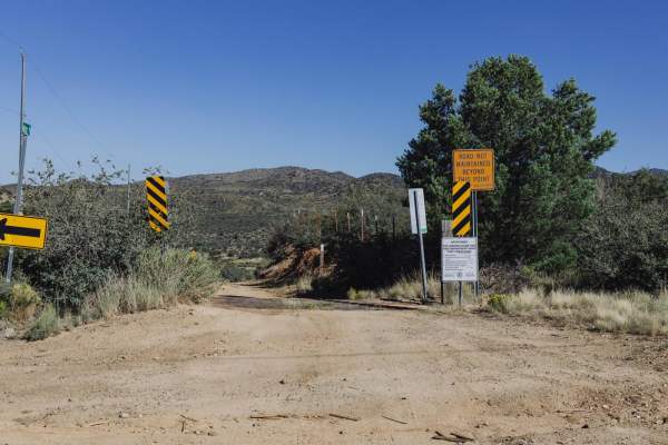
McNary Mine Road
McNary Mine is an interesting road with obstacles. It has access from pavement, in a rural neighborhood, on the South end. This drops you into a sandy wash for a bit, with large areas of erosion and water damage. As you make your way through the hills of this area of Prescott National Forest, you'll...
Learn more about McNary Mine Road
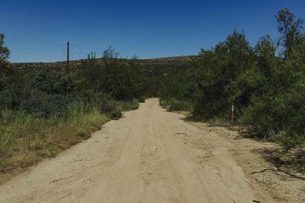
Copper Basin Wash
Copper Basin Wash is a standard Arizona wash trail. When in the wash, you'll encounter spots of deep, soft sand, and overgrown trees. Some parts of this trail are narrow, but if you take it slow, you shouldn't receive too much paint damage, though some is possible. When climbing out of the wash to t...
Learn more about Copper Basin Wash
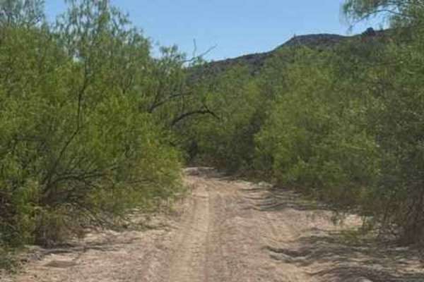
Sheppard Wash Trail
Sheppard Wash Trail is a narrow, overgrown sandy wash route winding through deep desert terrain with tall wash walls and tight S-curve turns throughout the trail. The route is heavily lined with Desert Willow and Mesquite trees creating constant pinstriping and low overhead clearance, especially for...
Learn more about Sheppard Wash Trail
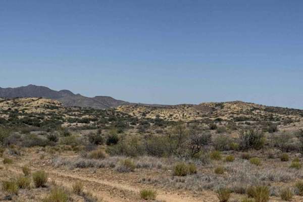
BLM 50016
BLM 50016 begins at the intersection with the NW Cut and heads west along a smooth, wide two-track wrapping around the hillside. The route is lined with prickly pear cactus, native grasses, and creosote bushes, with approximately two bars of AT&T service available. A gate is encountered along the r...
Learn more about BLM 50016
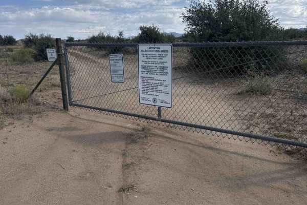
Sandy Gate Wash Trail
This trail begins at a closed gate off County Road 15. Please leave the gate as you found it. A State Trust Land Permit is required, and portions of the surrounding area contain private property. Camping is permitted in designated areas nearby. The route follows a pleasant full-width dirt two-track ...
Learn more about Sandy Gate Wash Trail
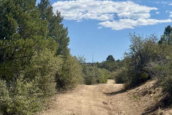
Hackberry Tank
Hackberry Tank Trail starts off Cherry Creek Road with a small parking area just off the main road. The trail begins as a dirt and gravel road with plenty of ruts and a couple of washouts, but no major obstacles or technical sections early on. Livestock are frequently on the trail and seem to hang a...
Learn more about Hackberry Tank
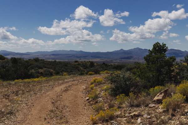
50k
The 50k Trail is a remnant of a mining road, of which there are plenty in the area. This road is rutted, with deep cuts of water damage, erosion, and washouts. There are wash crossings along this road with steep entrances and exits. It's rocky and bumpy, with sporadic rock gardens throughout. The tr...
Learn more about 50k
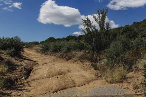
Telegraph Spring Cutoff
Telegraph Spring Cutoff is an interesting trail. Thought to be a mining access road, this dirt track has lots of erosion and water damage on it. There are a few sporadic campsites along this trail, with primitive fire rings. As always, please check local forest service regulations as this area is pr...
Learn more about Telegraph Spring Cutoff
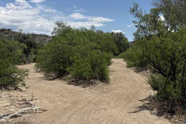
Copper Basin Wash - BLM 50006
Copper Basin Wash - BLM 50006 runs in the wash full width wash. Sandy gravel wash. Really amazing, beautiful rock formations, and a few overgrown trees to navigate through. Impassable in bad weather, the flash flood area at both ends of the trail ends on private property. But really a fun and unique...
Learn more about Copper Basin Wash - BLM 50006
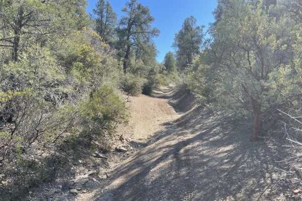
Buzzard Roost
This narrow challenging trail kicks off in the valley below in a small wash. Shortly after there's a closed cattle gate. The sign says to please keep it closed. The lower section is wide enough for SXS but as it ascends it becomes very off-camber and more suited to Moto or ATV. There are a few ve...
Learn more about Buzzard Roost
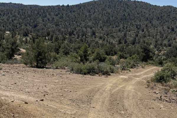
51026
Trail 51026 begins at a small parking area and quickly leads to a Y intersection with several camp rings nearby. The trail starts as a nice, wide gravel track lined with pine trees, prickly pear cactus, and desert creosote as it follows the ridgeline through both State Trust and BLM land. The route ...
Learn more about 51026
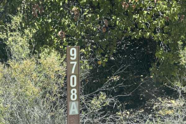
9708A
Trail FS9708A starts on a hidden entrance off Cherry Creek Road and looks almost unused. This point-to-point trail is narrow, off-camber, and rough from the start with Pinstripe overgrown vegetation, deep ruts, a major washout, and a rocky wash crossing before climbing into the Prescott National For...
Learn more about 9708A
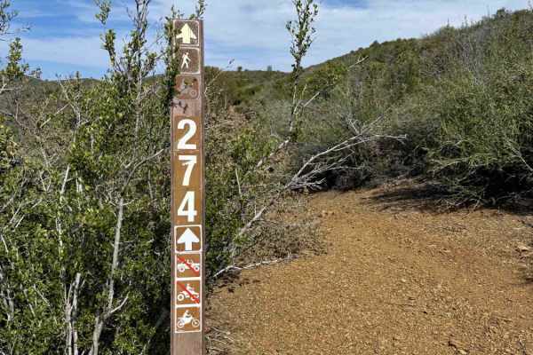
Climax
If you're climbing up from the river, there is a very steep, loose, and rocky section that is not easy to climb. Once you get past that its fairly smooth sailing uphill most of the way. It's a tight trail with some overgrown sections, off camber with some fun rock sections. Some really good elevatio...
Learn more about Climax
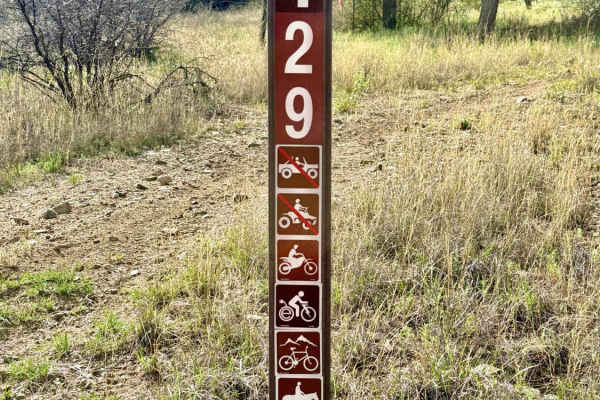
Buzzard
This might be one of the best, most fun trails in the area. If you enter from the north and head south (highly recommended), there's a fairly steep climb with loose rock in a rut that you should easily power up slowly or fast. You ride a ridgeline to the top with exposure on both sides. The southsid...
Learn more about Buzzard
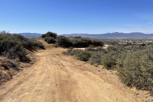
Orofino
This fun twisty run through the hills is a great connector trail. There is a really steep, long, loose hill and lots of short little climbs. The trail has some great hilltop vantage points and lots of areas to pull over for lunch or a snack under the large trees by the riverbed. With a keen eye, you...
Learn more about Orofino
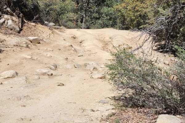
Copper Creek
This trail is not maintained in the winter. It gets extremely rutted and muddy when wet. There are rock and off-camber areas, it is also a tight trail, and pinstripes will happen. There are various camping spots along the trail. High clearance 4x4 required. If you go a little bit past the end of the...
Learn more about Copper Creek
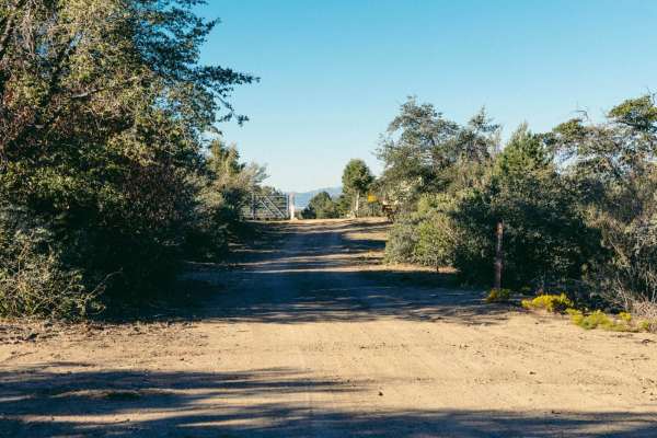
Gabrina Hill Road
Gabrina Hill Road is an old mining road that sports deep erosion cuts and water damage on it. Some of these features, as well as wash crossings with steep entrances and exits, will cause your rig to go off-camber, with possible damage. Sections of this road are through a deep ravine/wash-type situat...
Learn more about Gabrina Hill Road
ATV trails near Wilhoit, Arizona
Explore ATV-friendly trails near you. These trails are accessible for vehicles up to 50 inches wide, perfect for ATVs and smaller off-road machines.
Water Pipe Pen Trail
This trail begins at the end of Upper Creek Bypass at the closed wash intersection and follows an easy full-width dirt two-track that winds around private property. The route is surrounded by desert creosote and native grasses, with approximately one bar of AT&T service available.
Along the trail, t...
Learn more about Water Pipe Pen Trail
Northwest Cut Trail
The Northwest Cut traverses to the north side of this trail system, remaining above the wash. Beginning at the livestock tank, the route winds around the hillside overlooking a wash that is closed to motorized travel.
This smooth, wide two-track is suitable for both 2WD and 4WD vehicles and presents...
Learn more about Northwest Cut Trail
Upper Creek Bypass
This trail begins at the second section beyond the wash. Follow the fence line before turning right onto a less-traveled route consisting of larger loose gravel and embedded rocks. A State Trust Land Permit is required to access this area.
The trail is a full-width track that parallels the upper sec...
Learn more about Upper Creek Bypass
McNary Mine Road
McNary Mine is an interesting road with obstacles. It has access from pavement, in a rural neighborhood, on the South end. This drops you into a sandy wash for a bit, with large areas of erosion and water damage. As you make your way through the hills of this area of Prescott National Forest, you'll...
Learn more about McNary Mine Road
UTV/side-by-side trails near Wilhoit, Arizona
Find UTV and side-by-side trails near you. These trails accommodate vehicles up to 60 inches wide, ideal for UTVs, side-by-sides, and wider off-road rigs.
Water Pipe Pen Trail
This trail begins at the end of Upper Creek Bypass at the closed wash intersection and follows an easy full-width dirt two-track that winds around private property. The route is surrounded by desert creosote and native grasses, with approximately one bar of AT&T service available.
Along the trail, t...
Learn more about Water Pipe Pen Trail
Northwest Cut Trail
The Northwest Cut traverses to the north side of this trail system, remaining above the wash. Beginning at the livestock tank, the route winds around the hillside overlooking a wash that is closed to motorized travel.
This smooth, wide two-track is suitable for both 2WD and 4WD vehicles and presents...
Learn more about Northwest Cut Trail
Upper Creek Bypass
This trail begins at the second section beyond the wash. Follow the fence line before turning right onto a less-traveled route consisting of larger loose gravel and embedded rocks. A State Trust Land Permit is required to access this area.
The trail is a full-width track that parallels the upper sec...
Learn more about Upper Creek Bypass
McNary Mine Road
McNary Mine is an interesting road with obstacles. It has access from pavement, in a rural neighborhood, on the South end. This drops you into a sandy wash for a bit, with large areas of erosion and water damage. As you make your way through the hills of this area of Prescott National Forest, you'll...
Learn more about McNary Mine Road
The onX Offroad Difference
onX Offroad combines trail photos, descriptions, difficulty ratings, width restrictions, seasonality, and more in a user-friendly interface. Available on all devices, with offline access and full compatibility with CarPlay and Android Auto. Discover what you're missing today!
Open Trail Map