Trail Overview
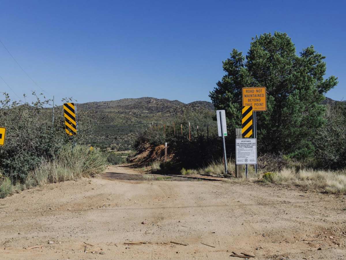
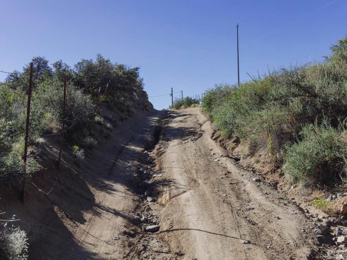
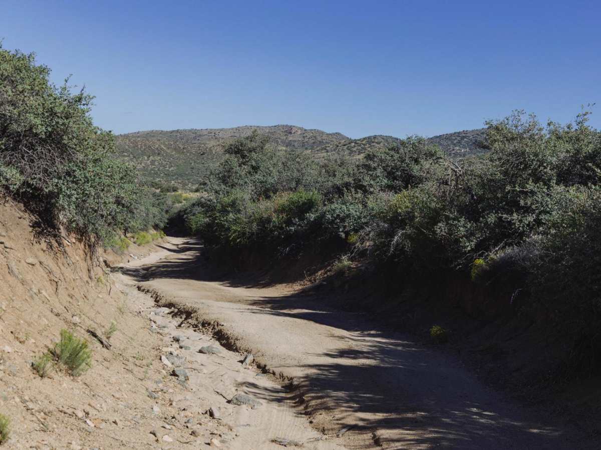
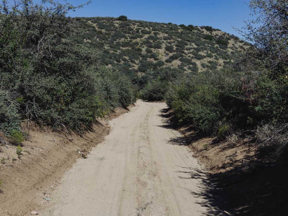
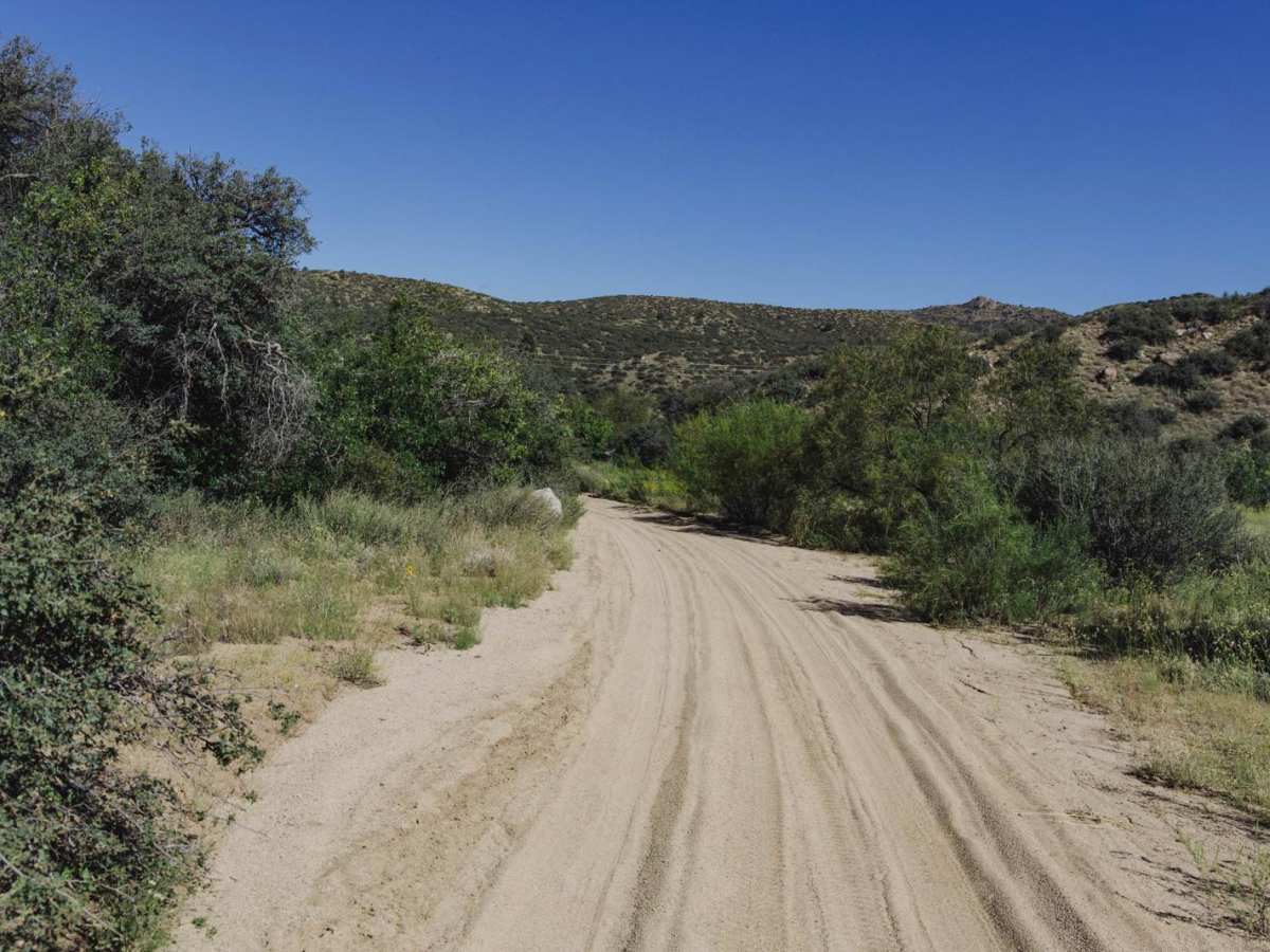
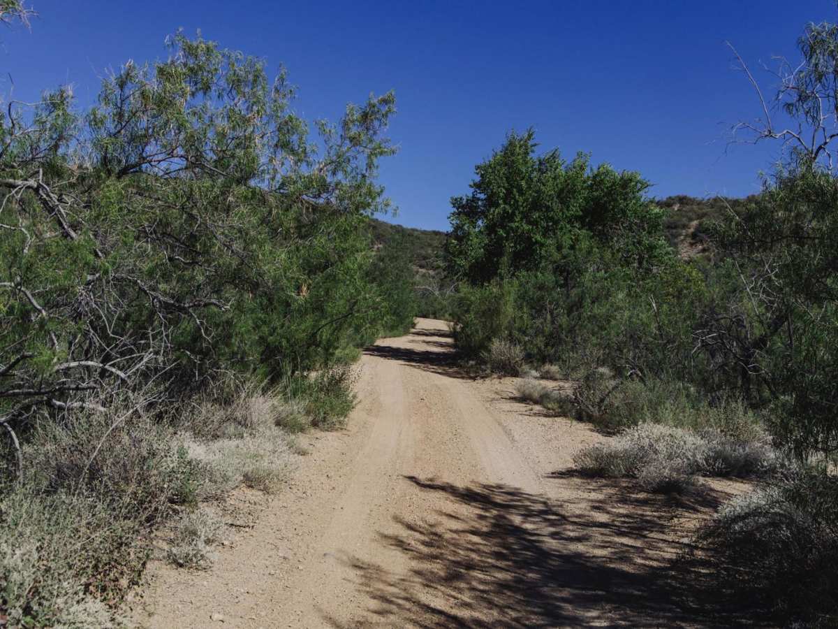
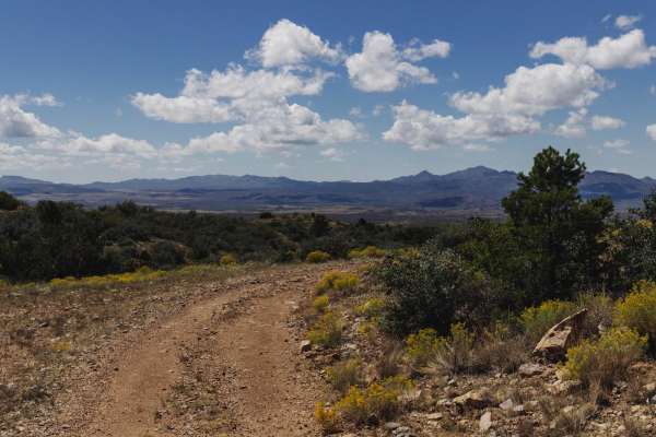
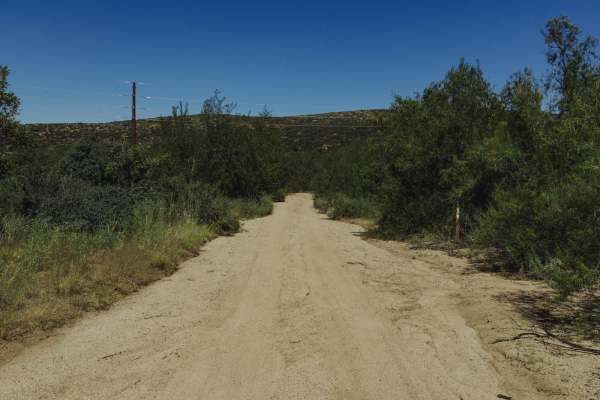
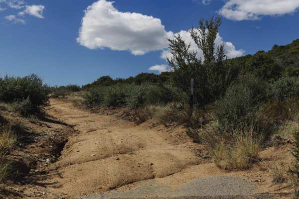
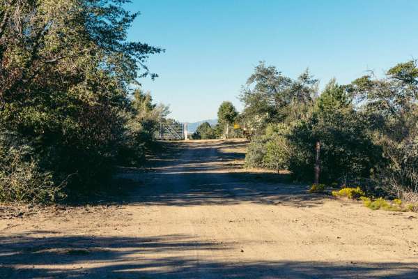
McNary Mine is an interesting road with obstacles. It has access from pavement, in a rural neighborhood, on the South end. This drops you into a sandy wash for a bit, with large areas of erosion and water damage. As you make your way through the hills of this area of Prescott National Forest, you'll encounter rocky hills with deep erosion and water damage, and a few obstacles of 2 to 3 feet. These rock ledges and waterfall-type features (see pictures for reference) are followed by possible off-camber pitches due to extreme water damage. This trail is thought to go through to Copper Basin road, but the trail narrows on the Northern end to little more than a dirt bike path in a ravine-type terrain situation. There is no cell service in this area, so offline maps are essential, as there are many side trails and offshoots that lead to narrow trails with nowhere to turn around. Near the loop at the North end are the ruins of the McNary Mine. When exploring this area caution is urged as there are mine shafts, erosion, water damage, open pits, and other hazards.
Difficulty
This is an unmaintained old mining road with obstacles consisting of rock ledges and waterfall-type features followed by heavy erosion damage, washouts, and water damage. There is no cell service in the area, so offline maps are essential.