Trail Overview
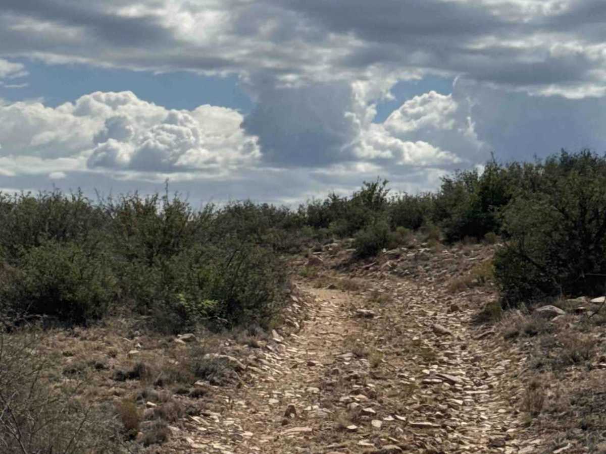
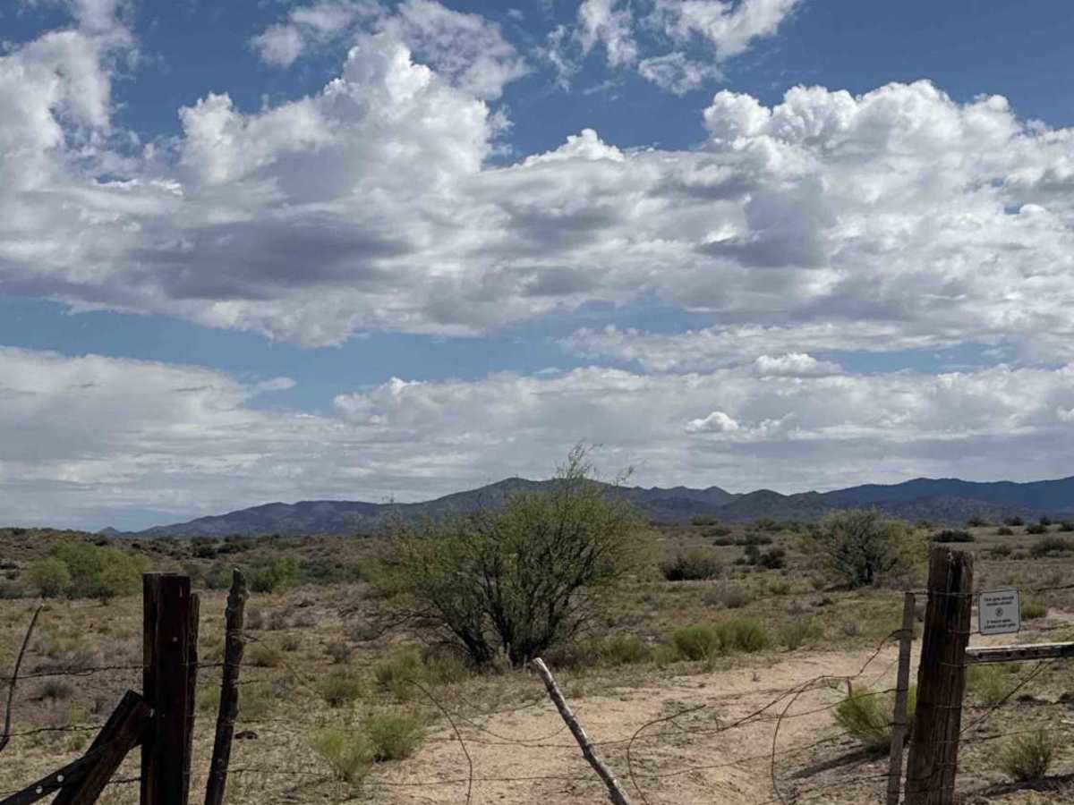
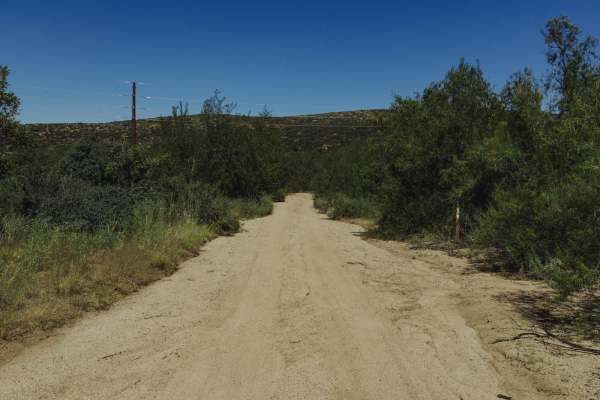
This trail begins at the second section beyond the wash. Follow the fence line before turning right onto a less-traveled route consisting of larger loose gravel and embedded rocks. A State Trust Land Permit is required to access this area.
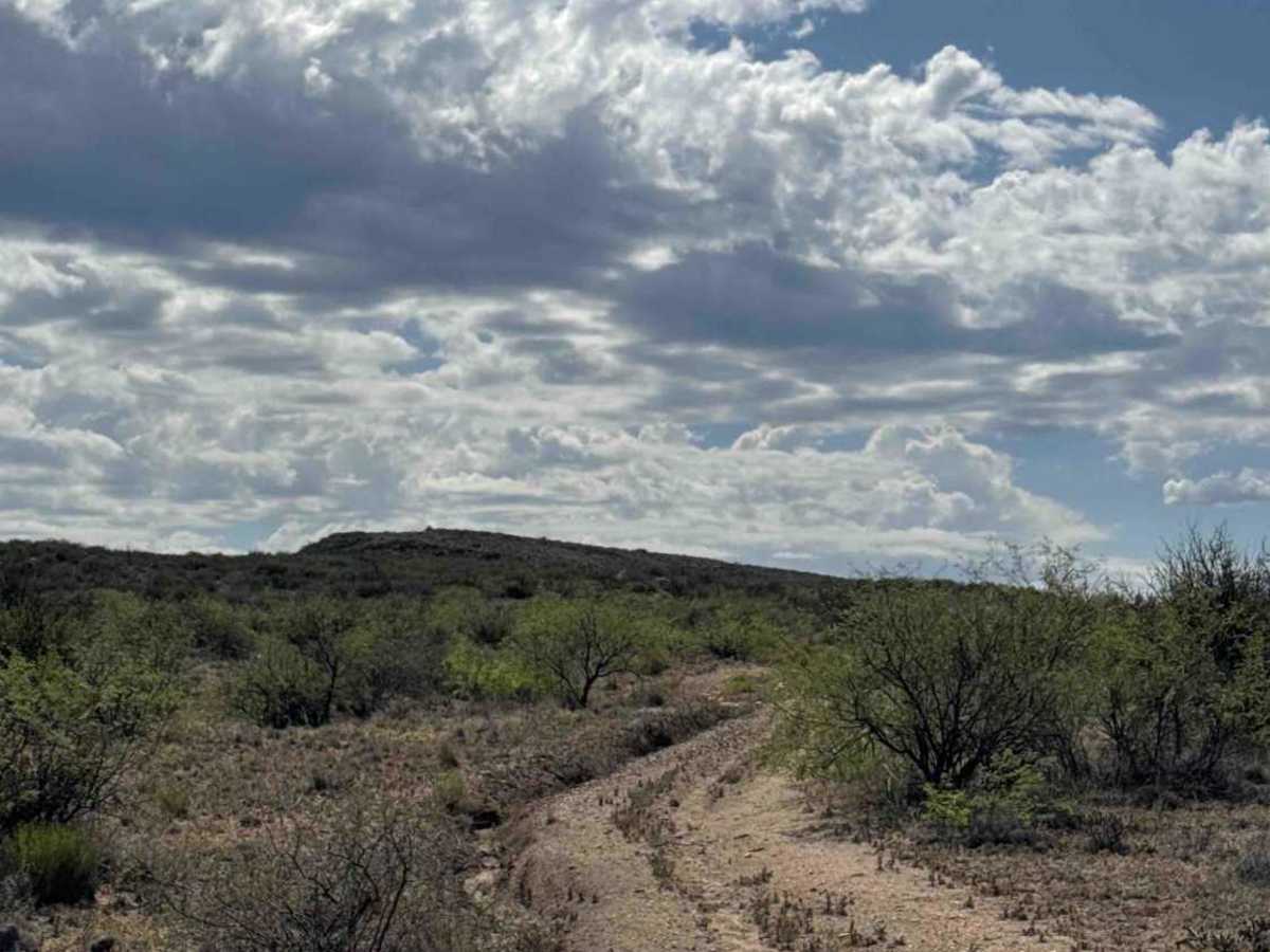
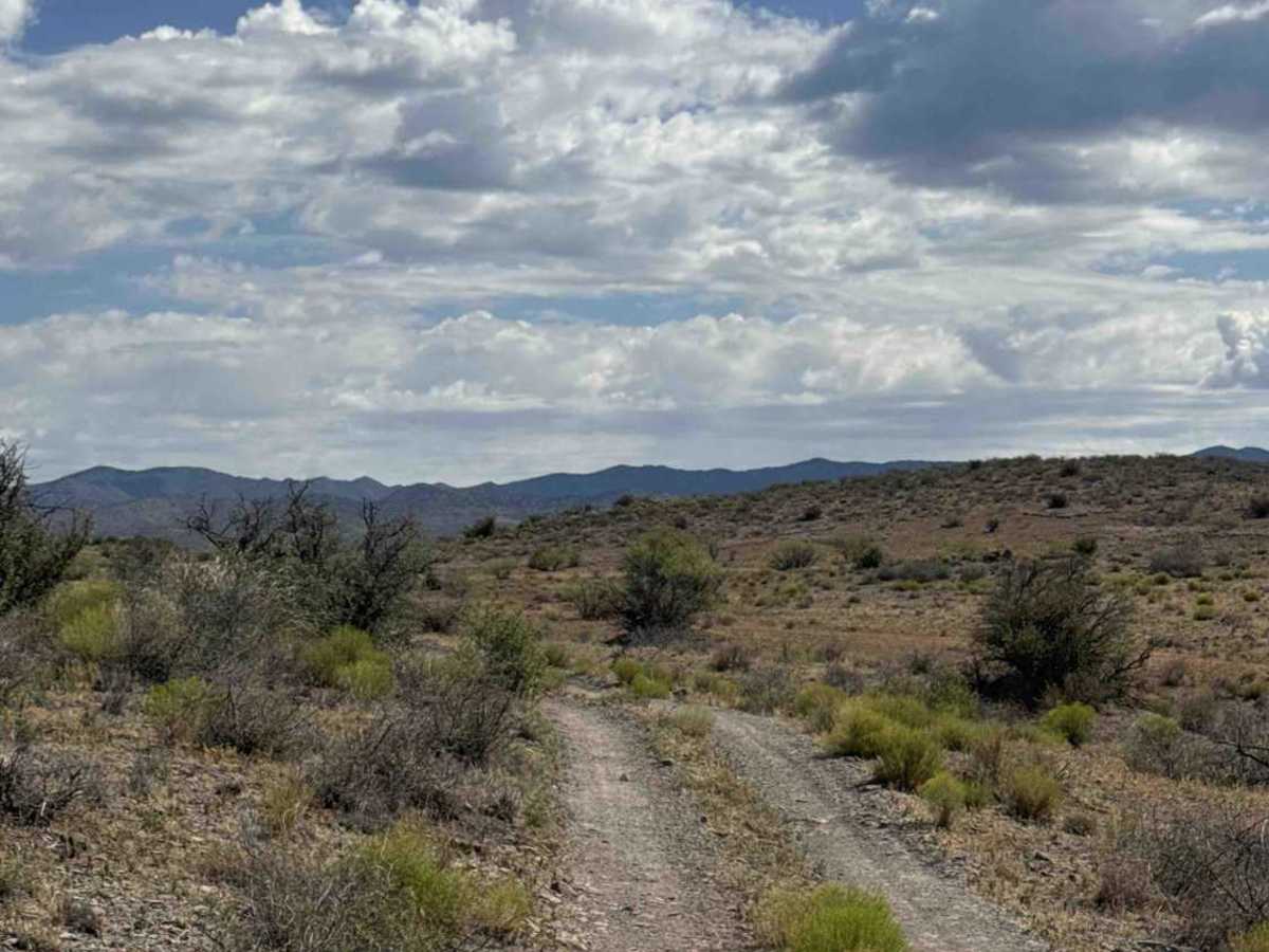
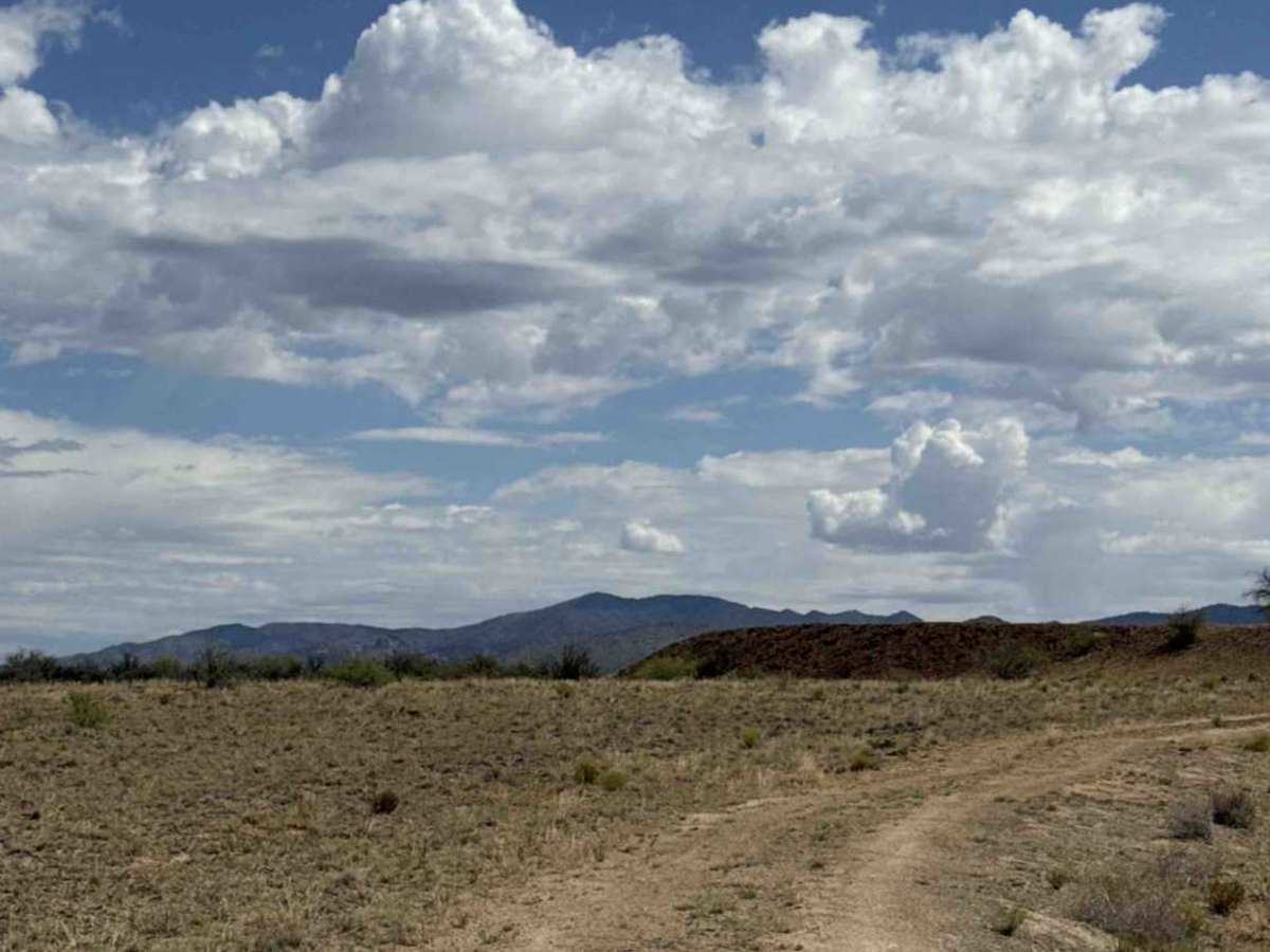
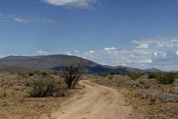
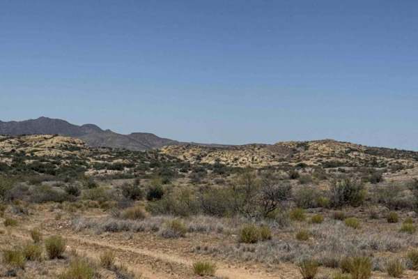
The trail is a full-width track that parallels the upper section of the creek, providing an alternate route to reach this area. It is lined with desert creosote, native trees, and offers beautiful views of the surrounding mountains. Cell service is limited to approximately two bars, and no established campsites were found along the route.
Along the way, hikers may enjoy a unique rock formation area worth exploring. The trail eventually reaches another gate marked with a sign requesting that it remain closed. This is also where the route crosses an ATV and motorcycle trail, so watch carefully for oncoming traffic.
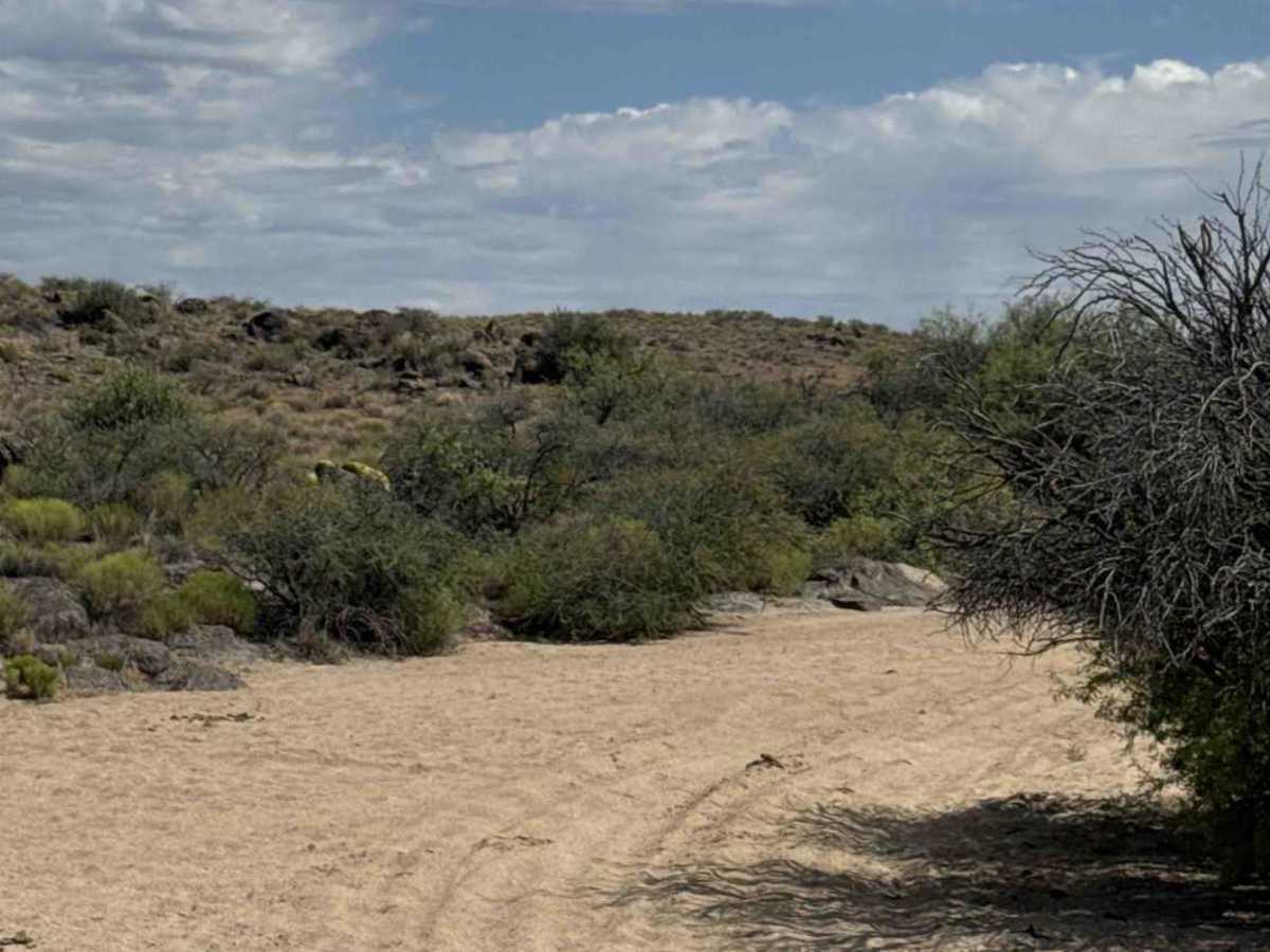
The final section descends into a sandy wash. Stay left and follow the newer track climbing out of the wash on the west side of the wash, as the original exit has completely washed away and is no longer passable by motor vehicles. The rerouted path travels around a water tank and continues along the north side of the wash before connecting to the next trail.
Overall, this is an easy scenic connector with a few sandy sections and a worthwhile stop for hikers interested in the nearby rock formations. Could become impassable in wet conditions. Also, livestock in the area.
Difficulty
Few ruts, random rocks, and natural shrubs in the center of the 2-track. 2WD/4WD high clearance recommended. Permit required. Bad weather could become impassable. The end of the trail has a reroute to get you to the next 3 trails.