Northwest Cut Trail

Total Miles1.3
Technical Rating
1Easy
Best TimeSpring, Summer, Fall, Winter
Trail TypeFull-Width Road
Accessible By
Open Trail Map

Trail Overview

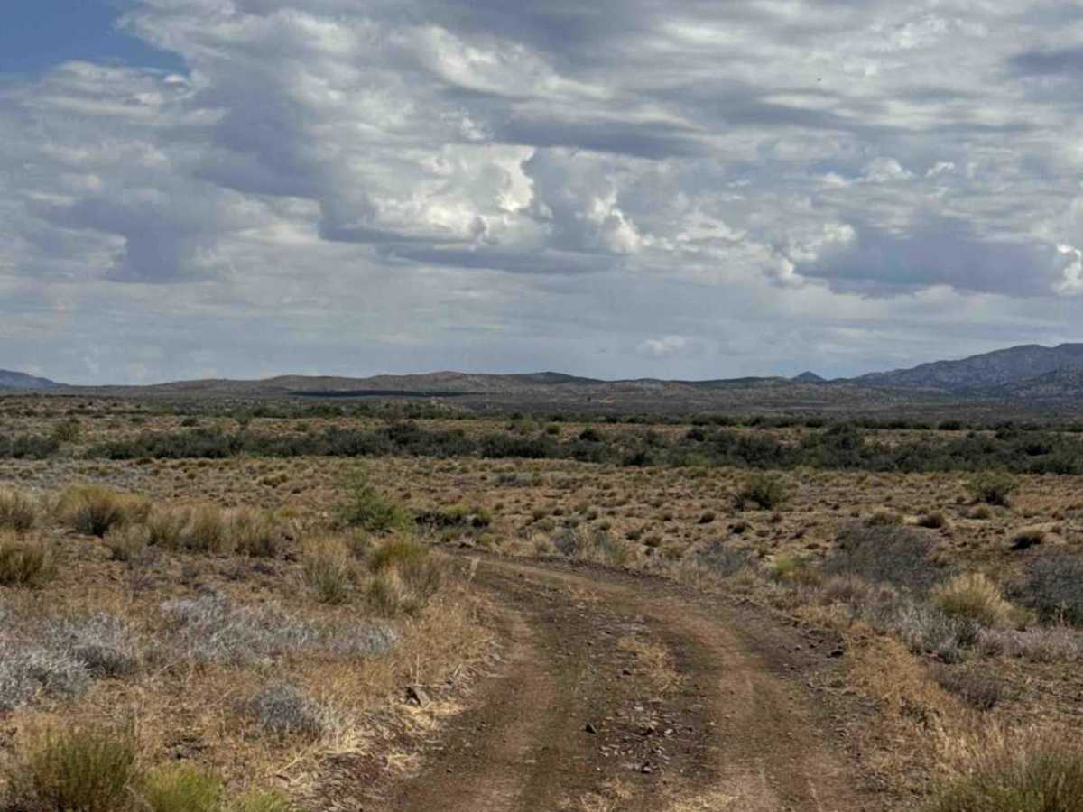
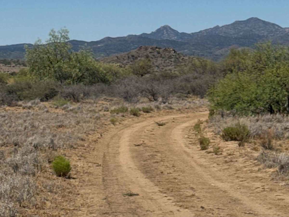
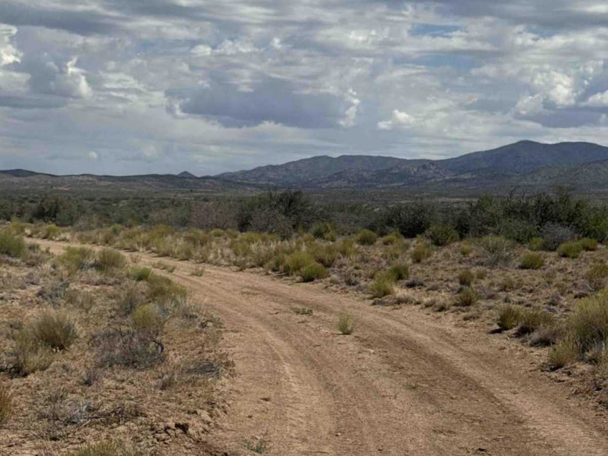
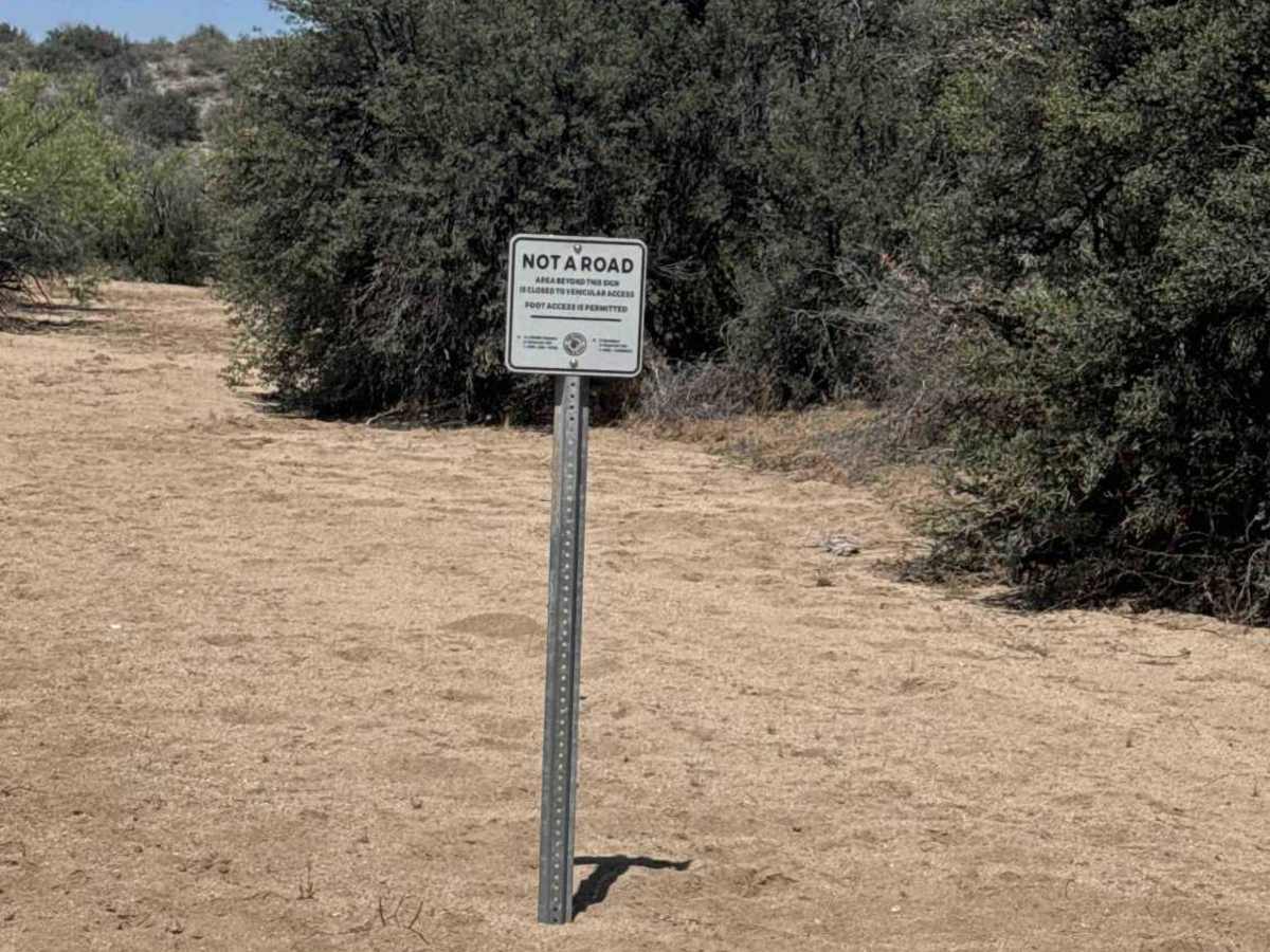
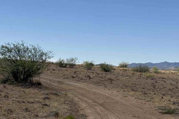
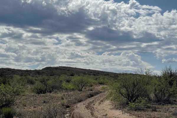
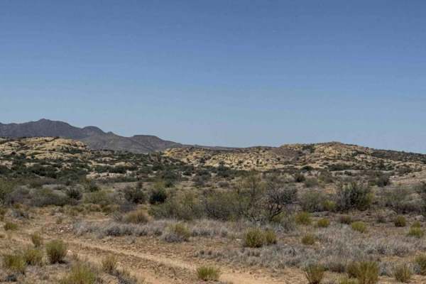
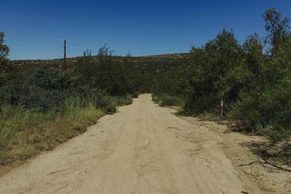
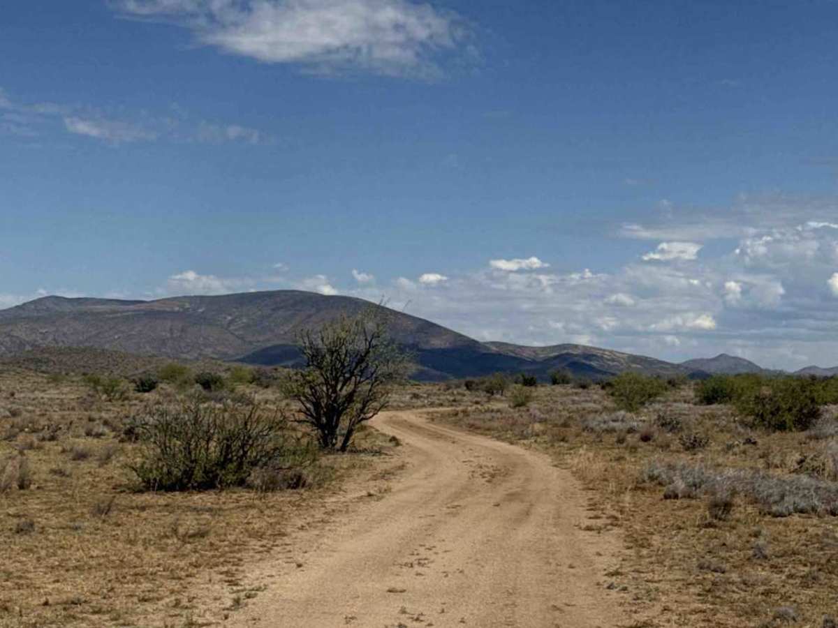
The Northwest Cut traverses to the north side of this trail system, remaining above the wash. Beginning at the livestock tank, the route winds around the hillside overlooking a wash that is closed to motorized travel. This smooth, wide two-track is suitable for both 2WD and 4WD vehicles and presents no technical obstacles. A few areas contain loose gravel, but overall, the trail is easy to navigate. The route is lined with desert shrubs and offers scenic views of the surrounding mountains, with approximately two bars of AT&T service available. Near the end of the trail, the terrain becomes sandy, and the vegetation transitions to larger trees before terminating at the wash. Although some maps still depict the wash as a through trail, it is currently closed to motorized use and signed by the state as “Not a Road.” As a result, this route is presently an out-and-back trail with no other exit available

Photos of Northwest Cut Trail

Difficulty

Easy trail, nothing technical, no obstacle, might be impassable in wet conditions.

Technical Rating

1

Northwest Cut Trail Trail can be accessed by the following ride types:

  • Single Track
  • 50 Inch
  • 60 Inch
  • High Clearance
  • Full Width

Northwest Cut Trail Map

The onX Offroad Difference

onX Offroad combines trail photos, descriptions, difficulty ratings, width restrictions, seasonality, and more in a user-friendly interface. Available on all devices, with offline access and full compatibility with CarPlay and Android Auto. Discover what you're missing today!

Open Trail Map