BLM 50016

Total Miles1.1
Technical Rating
2Easy
Best TimeSpring, Summer, Fall, Winter
Trail TypeFull-Width Road
Accessible By
Open Trail Map

Trail Overview

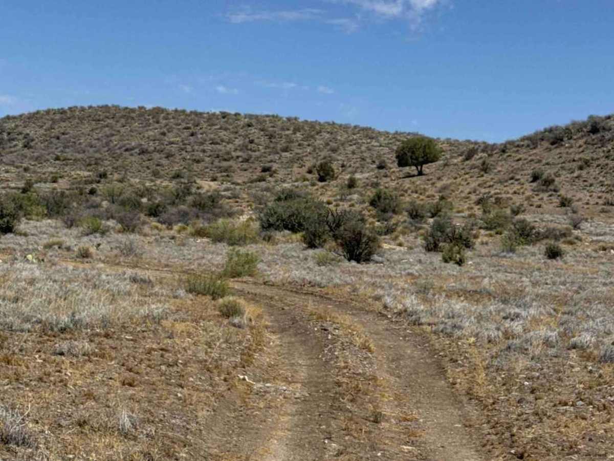
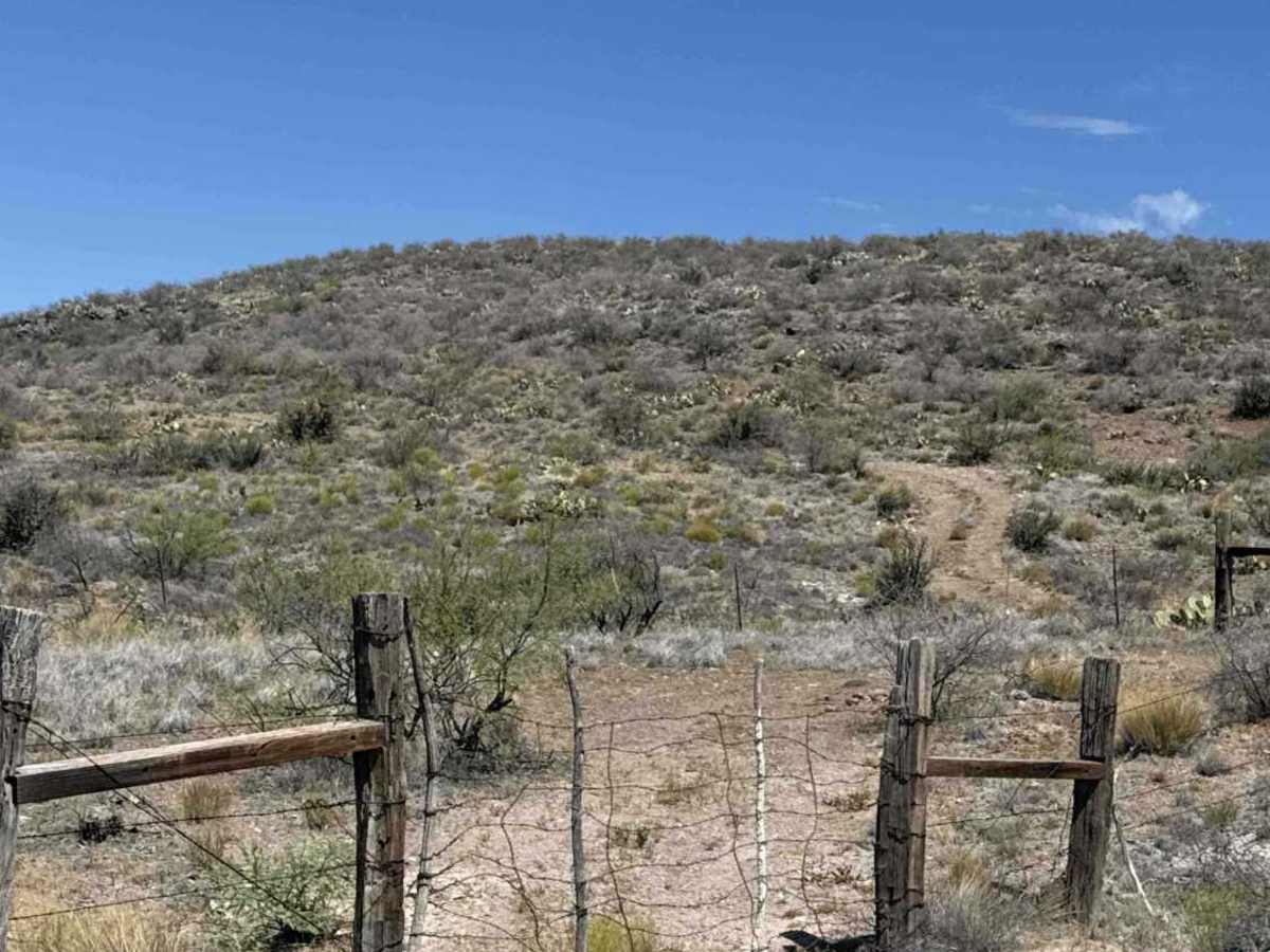
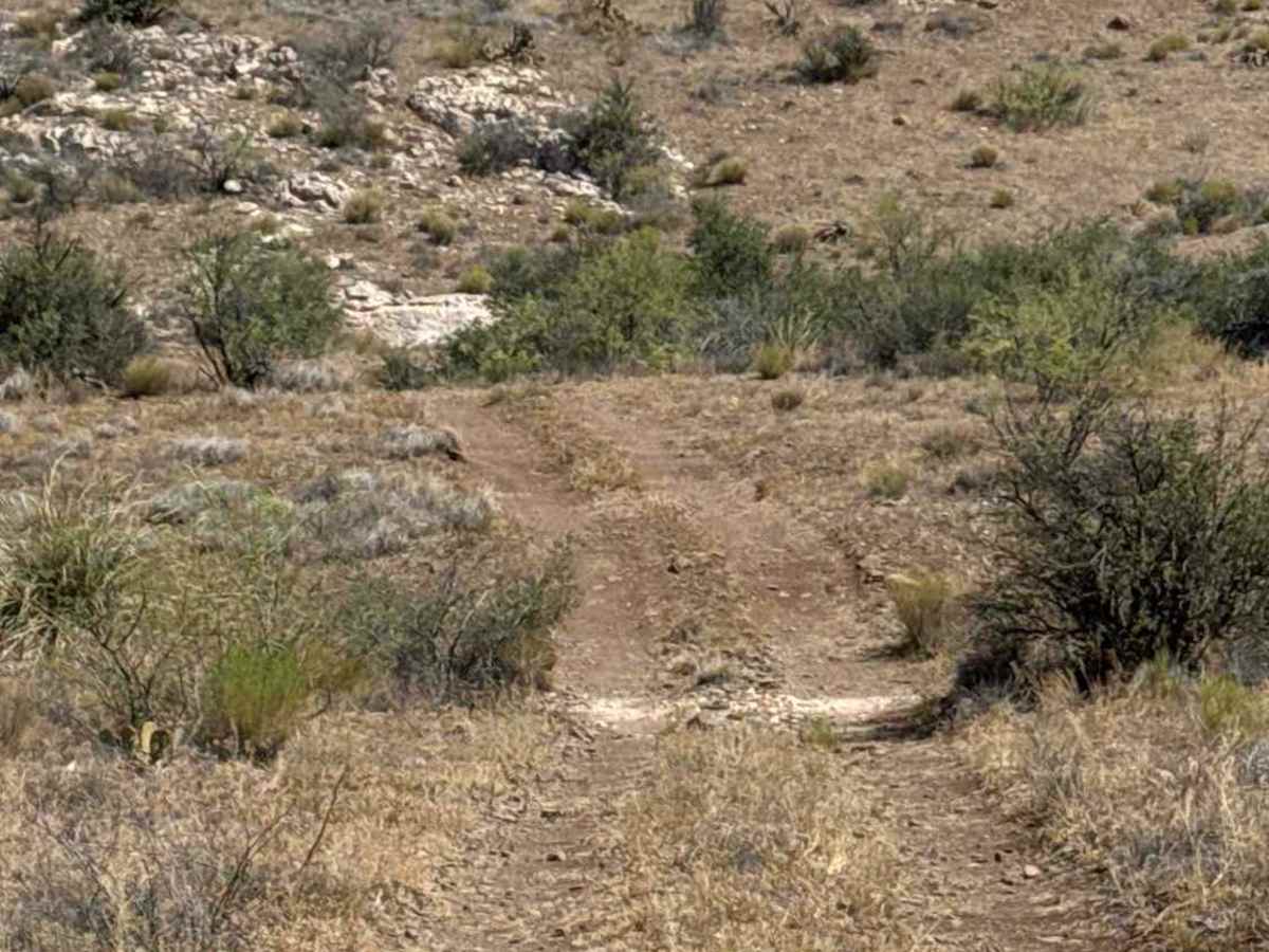
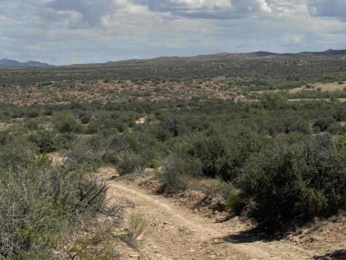
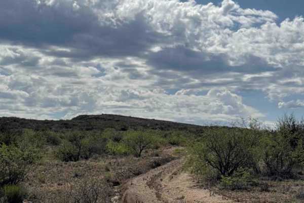
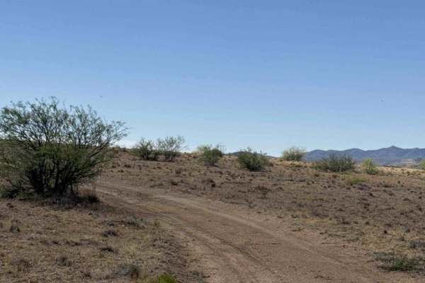
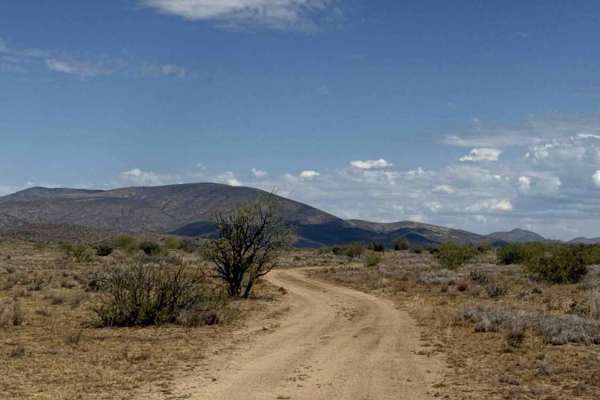
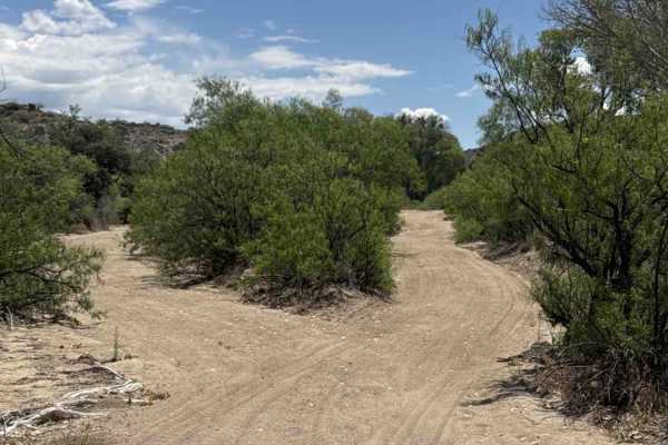
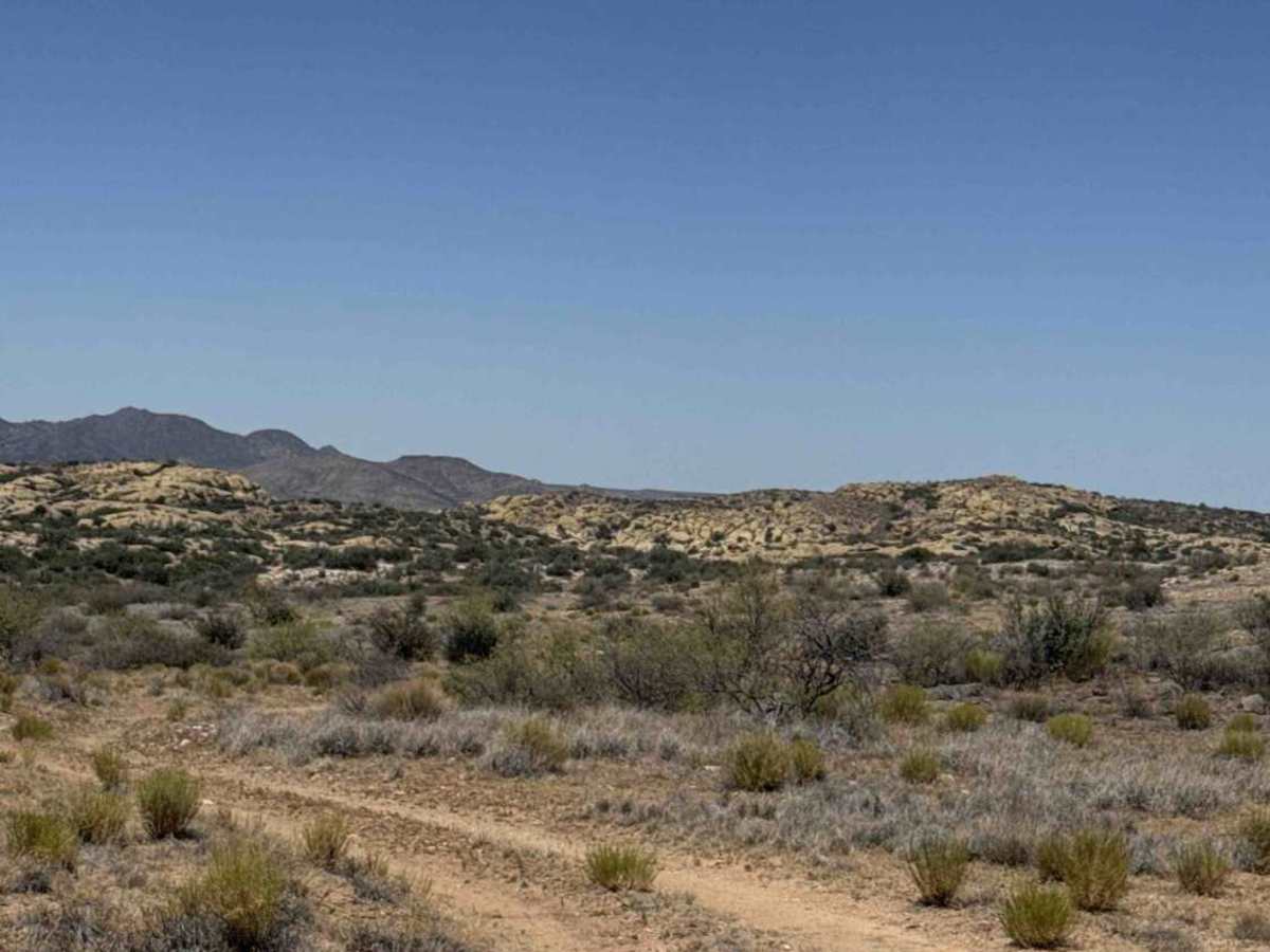
BLM 50016 begins at the intersection with the NW Cut and heads west along a smooth, wide two-track wrapping around the hillside. The route is lined with prickly pear cactus, native grasses, and creosote bushes, with approximately two bars of AT&T service available. A gate is encountered along the route and should be left closed after passing through. The opening is narrow, accommodating a Jeep with little extra clearance. A 12-inch shelf at the gate requires attention, especially for vehicles with long rear overhangs like a truck. Beyond the gate, the trail follows the fence line past additional hiking rocks before crossing onto BLM land. The trail dead ends at Trail 50006 in the wash. The last section of this trail to access the wash is via a shelf road with a small overgrown vegetation section with a steep, rutted, washed-out descent. Permit Required on the east section of the trail. Also, you must turn around at the wash and go back, or continue right and then exit the other side through the overgrown vegetation and exit east on Trial 50K. There is no exit through the was or the west section of 50K or the east direction of the wash.

Photos of BLM 50016

Difficulty

Section of steep shelf road at the end. Steep hill into the wash, Permit required on the state trust section

Technical Rating

2

BLM 50016 Trail can be accessed by the following ride types:

  • Single Track
  • 50 Inch
  • 60 Inch
  • High Clearance
  • Full Width

BLM 50016 Map

The onX Offroad Difference

onX Offroad combines trail photos, descriptions, difficulty ratings, width restrictions, seasonality, and more in a user-friendly interface. Available on all devices, with offline access and full compatibility with CarPlay and Android Auto. Discover what you're missing today!

Open Trail Map