Trail Overview
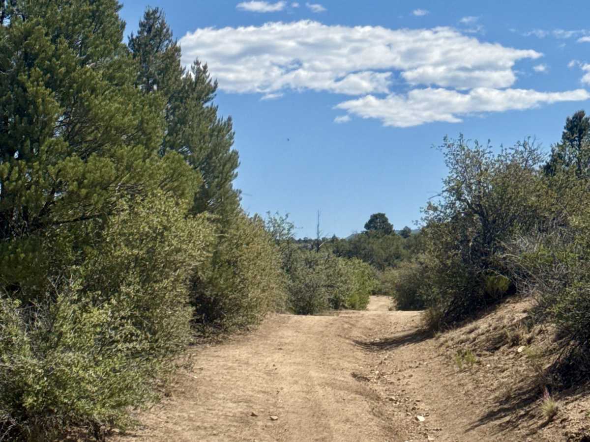
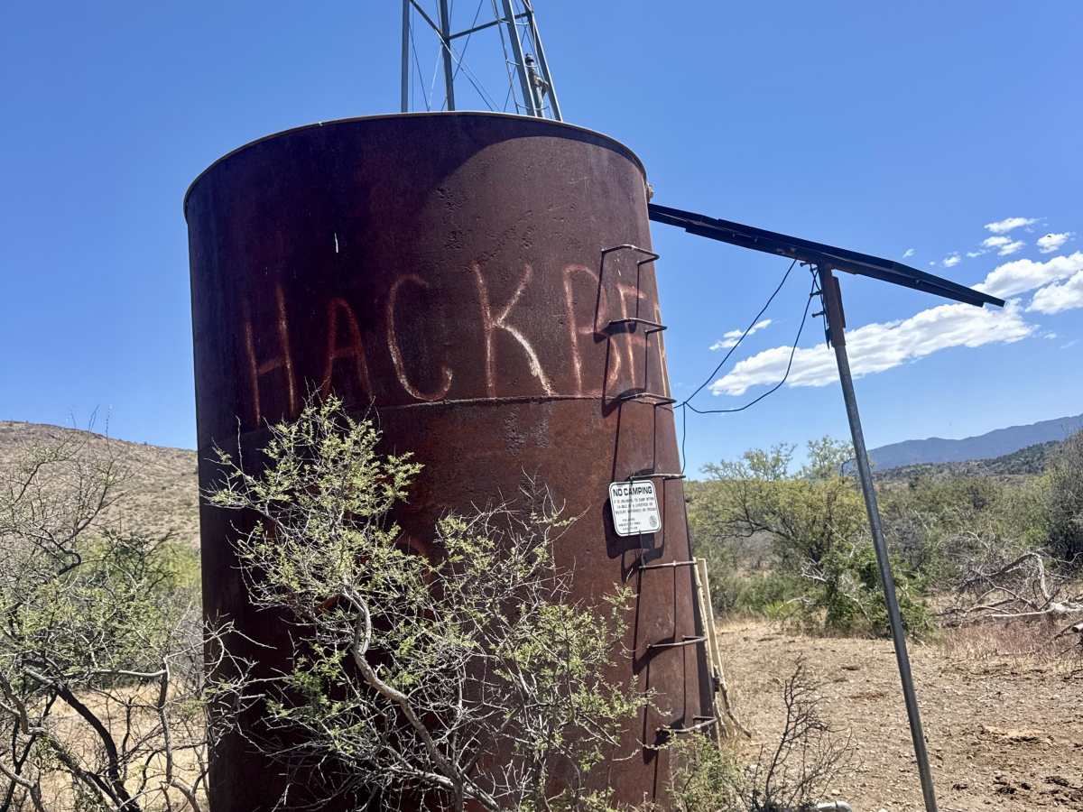
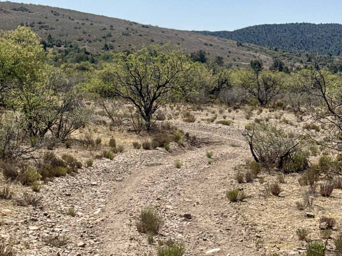
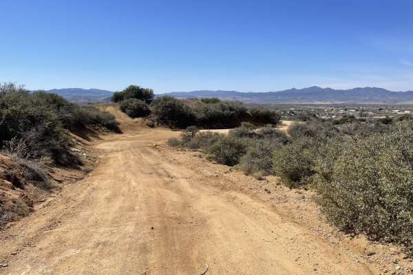
Hackberry Tank Trail starts off Cherry Creek Road with a small parking area just off the main road. The trail begins as a dirt and gravel road with plenty of ruts and a couple of washouts, but no major obstacles or technical sections early on. Livestock are frequently on the trail and seem to hang around the tank area, so drive carefully. No camping near the tank. State Trust Land permit required.
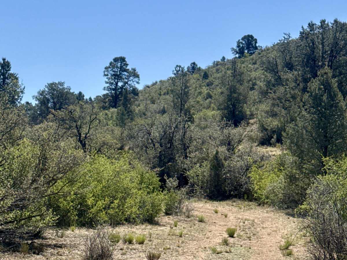
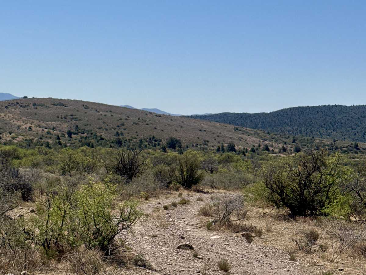
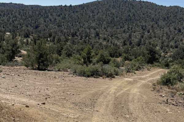
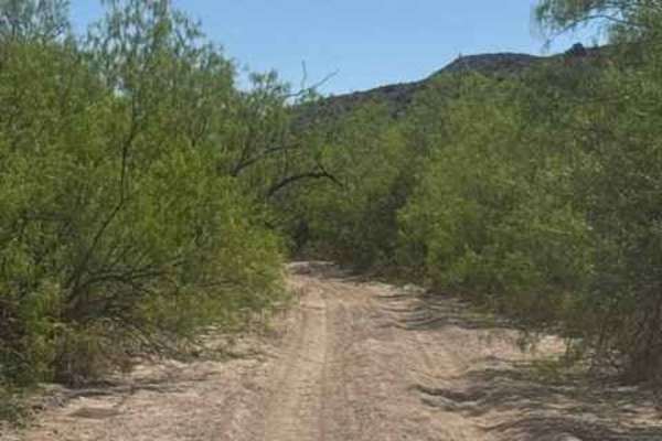
The trail winds through rolling hills before turning left into a wash trail section. After the first wash crossing, conditions become more challenging with multiple off-camber flexy sections requiring 4WD and good ground clearance. The trail is heavily lined with creosote and pine trees, with heavy overgrowth and guaranteed pinstripes in several sections.
Expect loose gravel, deep ruts, washouts, and narrow trail conditions throughout. This trail offers beautiful views of the lower forest elevation with rolling hills and quiet pinstripe backcountry scenery.
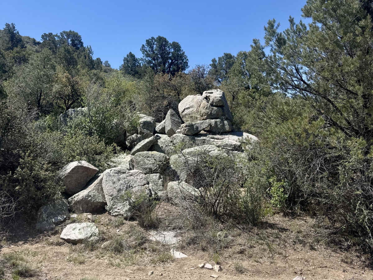
The trail eventually dead-ends at private property near Fire Clay Hill, which borders the Prescott National Forest. There appear to be interesting rock formations on the north side that may offer hiking opportunities.
Difficulty
Few ruts and washouts, nothing technical, no obstacles, watch for livestock, one washout area may be different depending on rainfall.