
Dirt Bike Trails
Near Stryker, Montana
Explore All Dirt Bike Trails Near Stryker, Montana
Dirt Bike Trails Near Stryker, Montana
Discover the best dirt bike trails near you. Browse trail maps, check difficulty ratings, and find your next adventure — whether you're looking for a quick ride or an all-day expedition.
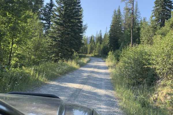
Mount Marston Lookout
An easy and scenic climb from the valley below to one of the highest peaks in the area. There is ample dispersed camping the entire way, and a nice hike across the main saddle as you approach the top of the trail. The lookout is often staffed. The views from the top are amazing, and there's a nice...
Learn more about Mount Marston Lookout
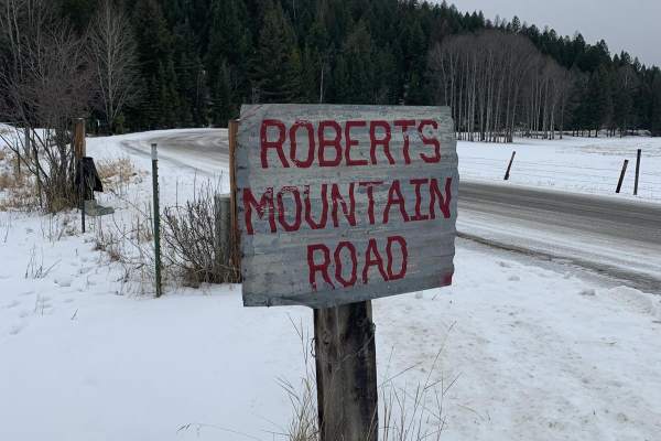
Robert's Mountain Trail
Robert's Mountain Trail is a scenic, 5.5-mile off-road route through the Kootenai National Forest in northwest Montana. Starting off Meadow Creek Road, the point-to-point dirt road climbs gradually from 3,039 feet to a peak of 3,331 feet, winding through dense pine and larch forests.
Rated 3 out of...
Learn more about Robert's Mountain Trail
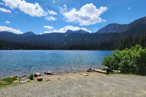
Big Therriault Lake
Big Therriault Lake is a well-used gravel FSR 319 in the Kootenai National Forest. The route accesses Big Therriault Lake, Little Therriault Lake, and trailheads to Rainbow, Wolverine Lakes, Otter Creek, and Weasel Lake. This route climbs deep into the Ten Lakes Wilderness Study Area and gives acces...
Learn more about Big Therriault Lake
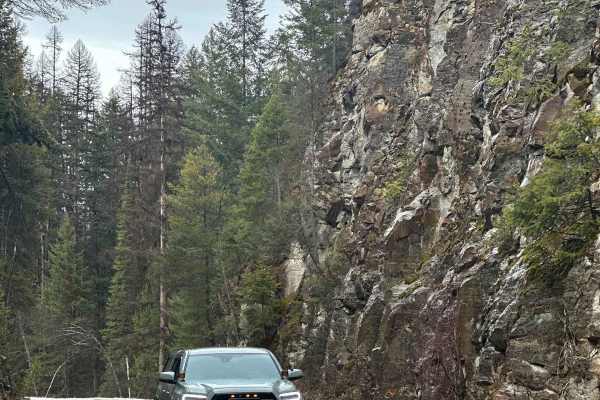
Tally Lake
The trail is two vehicles wide in most spots. Crosses over several bridges and along a river that pours into Tally Lake. This scenic trail is the main route to Tally Lake Campground and other dispersed campsites off the road. Maintained well in the summer. Multiple pullover spots. Winter is accessib...
Learn more about Tally Lake
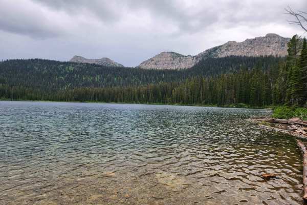
Bluebird Creek
Bluebird Creek is a well-used gravel FSR 7085 in the Kootenai National Forest. The route accesses Little Therriault Lake, the Clarence Ness trailhead, and a horse camp loop and trailhead. This route climbs into the Ten Lakes Wilderness Study Area and gives access to some of the most remote areas of ...
Learn more about Bluebird Creek
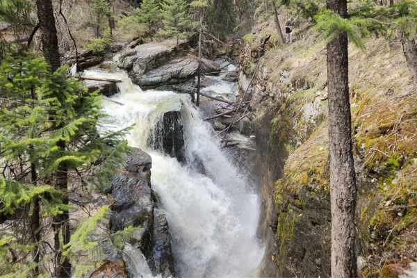
Pinkham Falls Route
Pinkham Falls is a favorite among locals of the Libby area and those visiting Lake Koocanusa. While it is a short route, the entrance is on private land with nearby residences. Be respectful and don't cross onto private land while hiking. This route is unmaintained, and you will need to pack out eve...
Learn more about Pinkham Falls Route
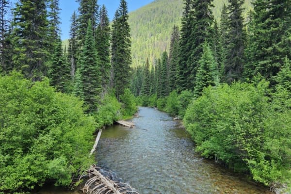
Coal Creek to Dead Horse #317
Unmaintained gravel road through state forest with many cutoff roads/trails that go along with this area. Narrow bridge crossings and plenty of washboard rough spots increase the time it takes to go the little over 8 miles this road runs. You will not need a special vehicle to make it as far as Dead...
Learn more about Coal Creek to Dead Horse #317
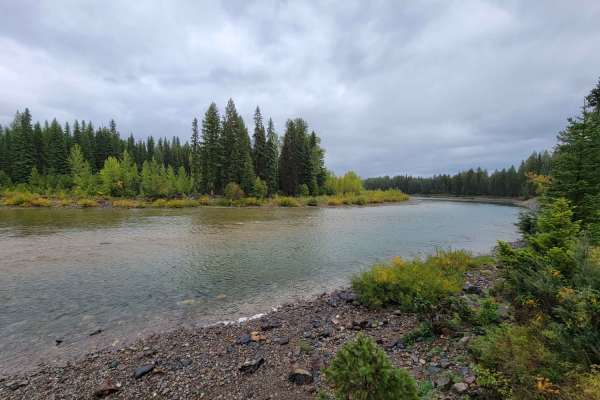
North Fork Road
This road takes you from Columbia Falls to the Canadian Border! Fun drive with lots of great stops, and two entrances to Glacier National Park. The most popular stop is Polebridge, MT, where you can try a huckleberry bear claw from the world famous Polebridge Mercantile. You can also enter Glacier N...
Learn more about North Fork Road
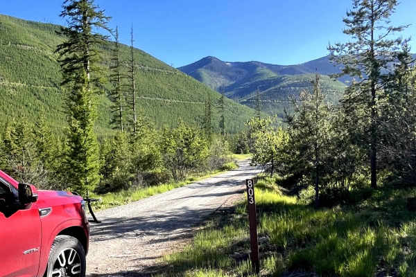
Hallowat Creek North - NF315
Hallowat Creek North - NF315 is a scenic forest road located north of Columbia Falls, Montana, accessed via North Fork Road. This route leads toward Moose Lake Campground, but deep snow can linger into late spring, limiting access. The gravel surface is generally in good condition with minimal obsta...
Learn more about Hallowat Creek North - NF315
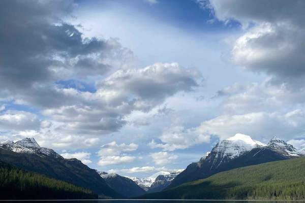
Kintla Lakes
This is a great out-and-back trail that begins in the little town of Polebridge. This road does enter Glacier National Park, so be prepared to pay the entrance fee, and depending on the time of year, a vehicle reservation pass may be required in addition to the park entrance fee. Visit https://www....
Learn more about Kintla Lakes
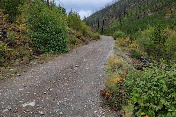
Trail Creek to Graves Creek
A fun and scenic drive through Northwest Montana. This trail is approximately 2 hours long, but expect an hour drive to get to the trail from Kalispell. From the North Ford Road, the trail starts out well maintained and passes through a residential area. From there, it narrows and gets a bit more ro...
Learn more about Trail Creek to Graves Creek
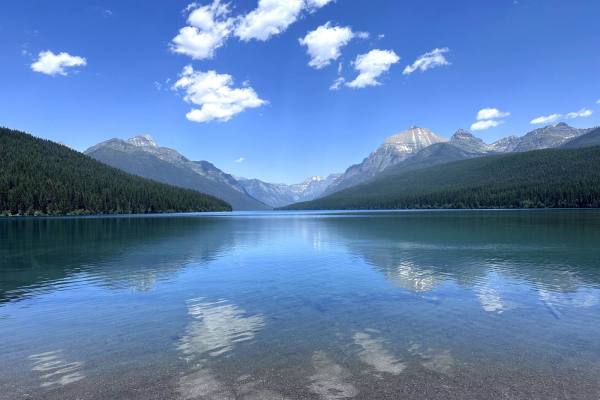
Bowman Lake Road
Bowman Lake Road is an 11-mile out-and-back trail in Glacier National Park that takes you up to Bowman Lake. Bowman Lake is more popular than Kintla Lake, with more visitors. The road is a maintained dirt road with many switchbacks. At the lake, there is a campground and day use parking. Bring a Kay...
Learn more about Bowman Lake Road
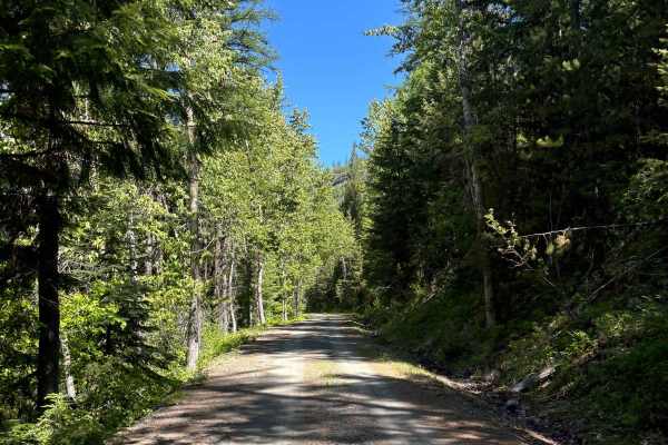
Summit Springs/Cripple Horse
This is an easy and scenic route starting from the Historic Fairview Ranger Station and ending at Lake Koocanusa and the Cripple Horse Marina and RV Park for refreshments or food. There are also multiple off-grid camping spots along this route and a great side hike to the Warland Peak lookout tower ...
Learn more about Summit Springs/Cripple Horse
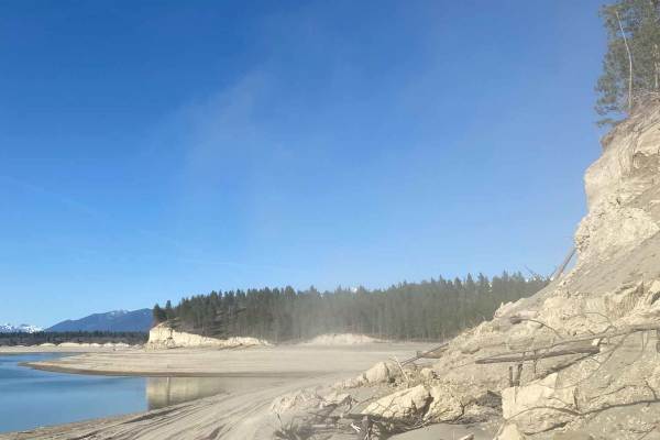
Tobacco Hills Sand Dunes
The area is open year-round, but access to the dunes is only available when the water level allows. Typically late spring. Please keep the water level in mind and do not attempt this trail if water levels are high. You will think you are at the Pacific Coast when you drop out of the trees onto the s...
Learn more about Tobacco Hills Sand Dunes
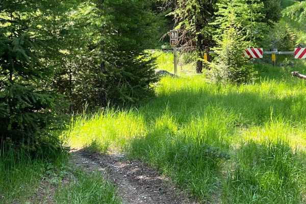
Ashley Mountain
This trail starts out on an old logging road and then starts to climb up Ashley Mountain. In late spring and early summer, the trail is surrounded by wildflowers. Although this is a shorter trail and ends at two other trails, Ashley Divide and Lupine Trail. so it can easily tie into one of these tra...
Learn more about Ashley Mountain
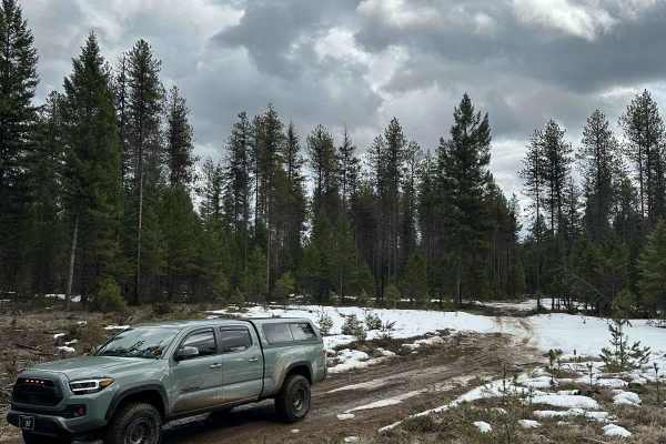
Lost Thin
This off-road trail is typically one lane in most spots. It is an easy trail with curves and small hills. There are a few dispersed campsites in the area. This trail is Open year-round. You can make a complete loop by going through Lost Thin B Trail. Large Rock Cliffs border the area. The trail is m...
Learn more about Lost Thin
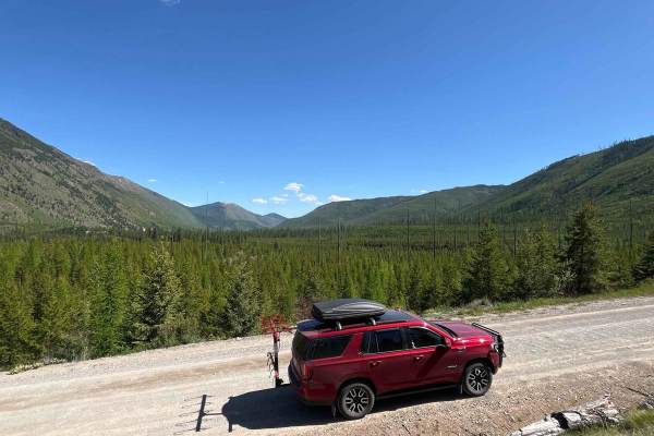
Big Cr Canyon Creek - NF316
Big Cr Canyon Creek - NF316 is an easy gravel road located north of Columbia Falls, Montana, with direct access from N Fork Road. This route is commonly used to reach Moose Lake Campground. The surface is smooth, primarily with minor potholes, making it suitable for most vehicle types. Drivers are r...
Learn more about Big Cr Canyon Creek - NF316
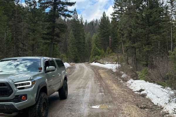
Starlite
This is a well-maintained dirt road. This trail starts out in a residential area and ends in the woods. It is a seasonal trail as there is a gate 3/4 of the way up the trail. The gate is closed during the winter. The trail is mostly flat with no obstacles. This trail is the main entrance into Lost T...
Learn more about Starlite
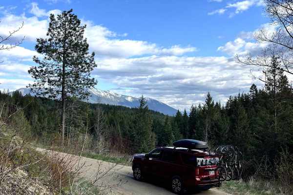
Cedar Ridge NF-1690
Cedar Ridge NF-1690 is an easy 4x4 trail located north of Columbia Falls, Montana, and is accessed directly from N Fork Road. The gravel surface is generally smooth, with a few potholes and occasional standing water. The route winds through forested terrain alongside a small creek and includes sever...
Learn more about Cedar Ridge NF-1690
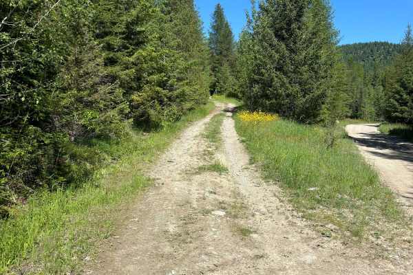
812 ATV Trail
This is one of very few 50" trails on the Flathead National Forest. It's a short but fun trail that climbs in elevation quickly and the end of the trail has great views overlooking Ashley Lake. The trail has become more of a single track over the years but is still easily passable with an ATV. The f...
Learn more about 812 ATV Trail
ATV trails near Stryker, Montana
Explore ATV-friendly trails near you. These trails are accessible for vehicles up to 50 inches wide, perfect for ATVs and smaller off-road machines.
Mount Marston Lookout
An easy and scenic climb from the valley below to one of the highest peaks in the area. There is ample dispersed camping the entire way, and a nice hike across the main saddle as you approach the top of the trail. The lookout is often staffed. The views from the top are amazing, and there's a nice...
Learn more about Mount Marston Lookout
Robert's Mountain Trail
Robert's Mountain Trail is a scenic, 5.5-mile off-road route through the Kootenai National Forest in northwest Montana. Starting off Meadow Creek Road, the point-to-point dirt road climbs gradually from 3,039 feet to a peak of 3,331 feet, winding through dense pine and larch forests.
Rated 3 out of...
Learn more about Robert's Mountain Trail
Big Therriault Lake
Big Therriault Lake is a well-used gravel FSR 319 in the Kootenai National Forest. The route accesses Big Therriault Lake, Little Therriault Lake, and trailheads to Rainbow, Wolverine Lakes, Otter Creek, and Weasel Lake. This route climbs deep into the Ten Lakes Wilderness Study Area and gives acces...
Learn more about Big Therriault Lake
Tally Lake
The trail is two vehicles wide in most spots. Crosses over several bridges and along a river that pours into Tally Lake. This scenic trail is the main route to Tally Lake Campground and other dispersed campsites off the road. Maintained well in the summer. Multiple pullover spots. Winter is accessib...
Learn more about Tally Lake
UTV/side-by-side trails near Stryker, Montana
Find UTV and side-by-side trails near you. These trails accommodate vehicles up to 60 inches wide, ideal for UTVs, side-by-sides, and wider off-road rigs.
Mount Marston Lookout
An easy and scenic climb from the valley below to one of the highest peaks in the area. There is ample dispersed camping the entire way, and a nice hike across the main saddle as you approach the top of the trail. The lookout is often staffed. The views from the top are amazing, and there's a nice...
Learn more about Mount Marston Lookout
Big Therriault Lake
Big Therriault Lake is a well-used gravel FSR 319 in the Kootenai National Forest. The route accesses Big Therriault Lake, Little Therriault Lake, and trailheads to Rainbow, Wolverine Lakes, Otter Creek, and Weasel Lake. This route climbs deep into the Ten Lakes Wilderness Study Area and gives acces...
Learn more about Big Therriault Lake
Tally Lake
The trail is two vehicles wide in most spots. Crosses over several bridges and along a river that pours into Tally Lake. This scenic trail is the main route to Tally Lake Campground and other dispersed campsites off the road. Maintained well in the summer. Multiple pullover spots. Winter is accessib...
Learn more about Tally Lake
Bluebird Creek
Bluebird Creek is a well-used gravel FSR 7085 in the Kootenai National Forest. The route accesses Little Therriault Lake, the Clarence Ness trailhead, and a horse camp loop and trailhead. This route climbs into the Ten Lakes Wilderness Study Area and gives access to some of the most remote areas of ...
Learn more about Bluebird Creek
The onX Offroad Difference
onX Offroad combines trail photos, descriptions, difficulty ratings, width restrictions, seasonality, and more in a user-friendly interface. Available on all devices, with offline access and full compatibility with CarPlay and Android Auto. Discover what you're missing today!
Open Trail Map