
Dirt Bike Trails
Near Sandy, Utah
Explore All Dirt Bike Trails Near Sandy, Utah
Dirt Bike Trails Near Sandy, Utah
Discover the best dirt bike trails near you. Browse trail maps, check difficulty ratings, and find your next adventure — whether you're looking for a quick ride or an all-day expedition.
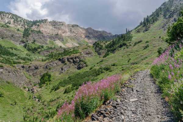
Mineral Fork
Mineral Fork gets the designation as the only off-road route open in the Cottonwoods above Salt Lake County. This trail is popular with dirt bikes, ATVs and hikers. Be sure to respect anyone that is using the trail. Your vehicle has to be under 50" to complete the trail. Please be courteous and obey...
Learn more about Mineral Fork
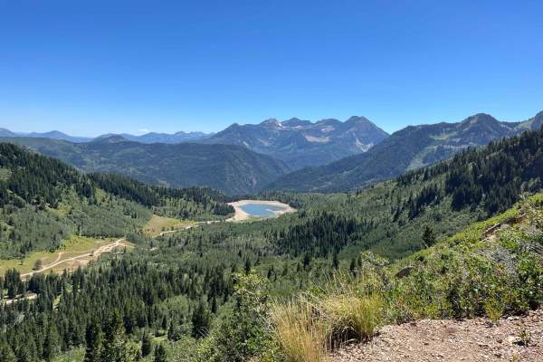
Milk Maid
This trail has larger rocks and ledges at the start. Higher clearance is needed. The rocks give way to seasonal streams and meadows. There are switchbacks and shelf roads that ultimately end at an overlook of Silver Lake Flats. This is a single-width trail with limited turnaround options. The reward...
Learn more about Milk Maid
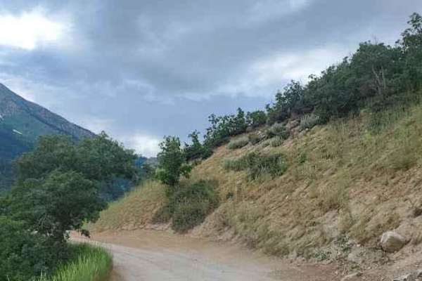
Silver Lake Road
This 9-mile out-and-back dirt road from Tibble Fork Reservoir to Silver Lake is beautiful and boasts mountain views. Make sure to bring your paddleboards and/or kayaks to use at either lake. The road is well maintained and driven by cars and vans but is narrow in a few places-not quite wide enough f...
Learn more about Silver Lake Road
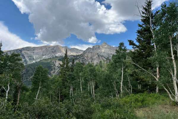
Major Evans
This is a narrow track through pleasant trees. The track switches up the mountainside and provides good views of the surrounding peaks. Since it ends at a locked gate, it needs an hour up, and an hour down. Passing can be difficult due to the track width. There are some pleasant meadows at the turno...
Learn more about Major Evans
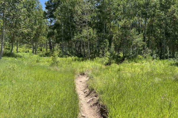
Holman (2039)
From the Tibble Fork parking area, this single-track trail is a more difficult entrance into the American Fork system. It's not ridden as often as the others in the canyon. From the American Fork Snake Creek Road, this trail climbs ~2,500 feet where it intersects with Ridge (2157) and East Ridge (20...
Learn more about Holman (2039)
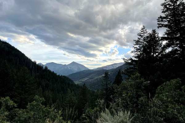
American Fork Snake Creek
This trail is a low risk, high pay out trail with lots of jaw dropping views. The trail could honestly be done in a 2WD sedan if you don't explore any of the side trails. There are lots of picnicking and dispersed camping sites along the way. The trail runs from Tibble Fork reservoir in American ...
Learn more about American Fork Snake Creek
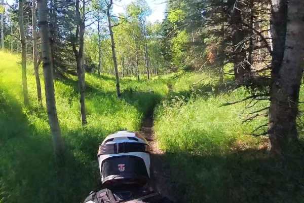
Tibble Fork (2041)
From Mill Canyon, this trail runs west and then southeast, climbing about 1,400 feet where it intersects with Ridge Trail. The lower portion running west takes you on a ledge trail through the woods above Tibble Fork Reservoir. From here, it continues climbing, intersects Mud Springs, and finally re...
Learn more about Tibble Fork (2041)
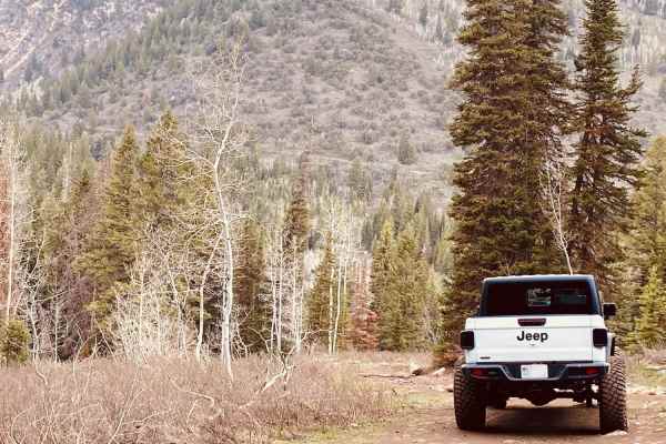
Forest Lake Trail
Forest Lake Trail is in the beautiful American Fork Canyon, Utah. This trail runs Southeast on the way up and is not a loop trail. It is recommended to have a higher clearance vehicle but can be navigated clean with the right spotter. Certain stock vehicles will be able to complete the trail if you ...
Learn more about Forest Lake Trail
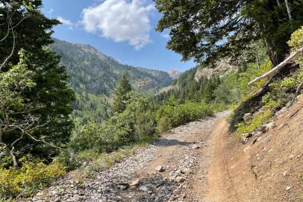
Mary Ellen Gulch
Scenic in-and-out trail with mild technical driving. This beautiful country includes rich vegetation, and the trail follows a rocky stream that flows year-round. Watch for huckleberries and wild raspberries along the trail early in the summer and changing leaves during the fall. This is considered o...
Learn more about Mary Ellen Gulch
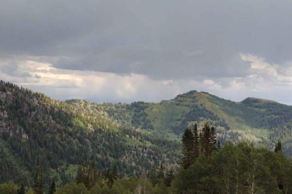
Miller Hill
This is a fun and somewhat technical out-and-back trail. It's a nice scenic trail through the pines and aspens with a few camping spots along the trail. Depending on when you go, there are a lot of wildflowers along the way. This trail also goes up to Tyngs Grave and also old mine areas. There are s...
Learn more about Miller Hill
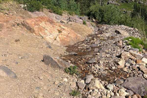
Mineral Basin Trail
Mineral Basin Trail is a beautiful, scenic route that will take you into the Mineral Basin at Snowbird Resort. There are many springs and other sights to see, including the famous "Iron Bog". The trail, however, is no easy task, littered with rock gardens, steep climbs, and rock slabs. The trail beg...
Learn more about Mineral Basin Trail
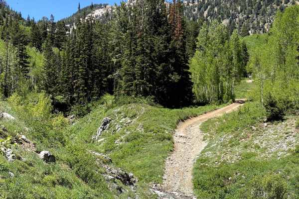
Alta Dry Fork (FR 70198)
One of the most beautiful trails in the area, Alta Dry Fork will challenge beginners and offer some fun for intermediates. Ford low water crossings and navigate your way through pines, aspens, and verdant alpine meadows. Wildflowers trace the trail that follows the Alta Dry Fork Creek, which, depend...
Learn more about Alta Dry Fork (FR 70198)
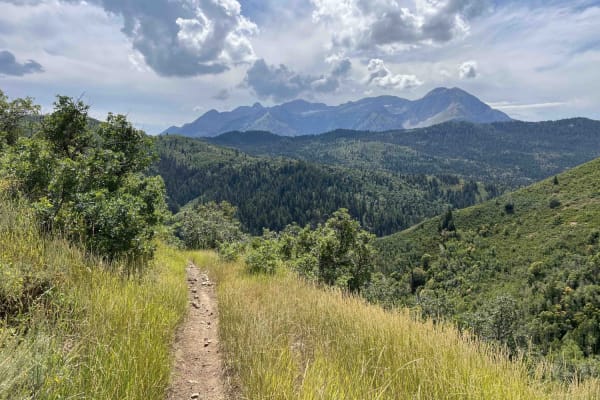
Holman Ridge-Cabin Flat (2172)
Holman Ridge connects Mill Canyon and Holman trails. Running south to north, this single-track trail starts at Mill Canyon and climbs upwards. The route is narrow and deep-more of a trench in some areas. There are smaller softball to football-sized rocks and some roots along the trail. Most are unav...
Learn more about Holman Ridge-Cabin Flat (2172)
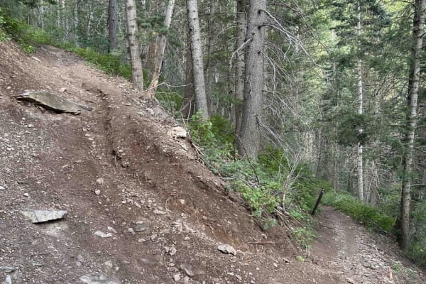
Bear Canyon (2179)
This single-track route connects the Pine Hollow parking lot to the Timpooneke-Chris' Flat trail. Riding south away from the parking lot, the trail starts with a tight downhill section that puts you across the road from the Mutual Dell campground. From here, the trail is primarily uphill with multip...
Learn more about Bear Canyon (2179)
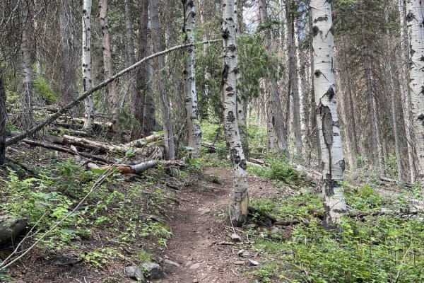
Bear Canyon Spur (2178)
Bear Canyon Spur is a short trail that runs between Timpooneke-Chris' Flat and Bear Canyon trails. The trail is narrow and drops downhill as you ride towards Bear Canyon. There are a few smaller, golf ball- or baseball-sized rock sections and several tight turns. There's also one road crossing at Ti...
Learn more about Bear Canyon Spur (2178)
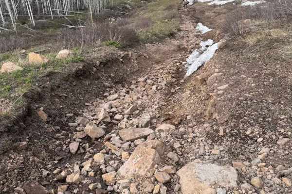
Big Flat
Big Flat is a fun trail up in the Snake Creek area. It is definitely a tighter trail, with a chance you might get a pin stripe or two, especially in a wider vehicle. This trail does have one spot that adds to most of the challenge, and is a steep, rocky climb that you will most likely want a spotter...
Learn more about Big Flat
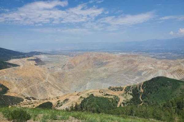
Kennecott Copper Mine Overlook
This trail is a quick 5-mile total out-and-back. It is well-maintained dirt leading to a large parking area that overlooks the main pit of the mine. One can also see the Salt Lake Valley to the east and Tooele Valley to the west and the views of the mountains, valleys, and mine are incredible. The r...
Learn more about Kennecott Copper Mine Overlook
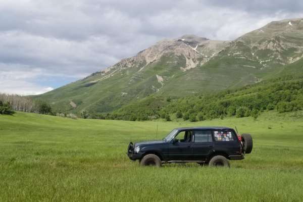
Timpooneke Road
This is a high-altitude Uinta-Wasatch-Cache National Forest road starting at the back of the Timpooneke Campground and wrapping around the face of the Timpanogos Wilderness Area. It is approximately 19 miles round trip and a there-and-back road. The route is rocky, but the rough road pays off with a...
Learn more about Timpooneke Road
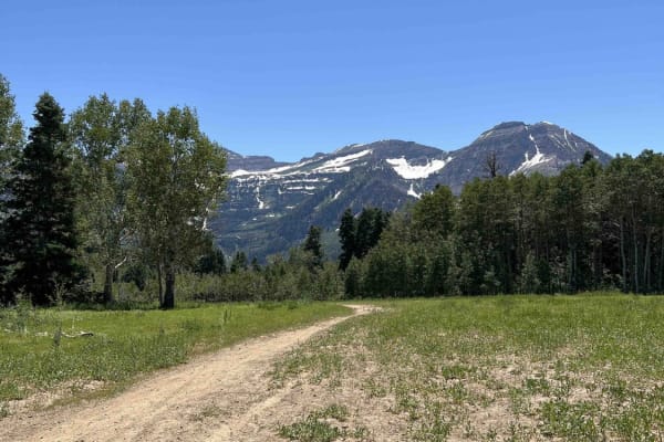
Mud Springs (2173)
The Mud Springs single-track trail starts at Mill Canyon, intersects Tibble Fork, and terminates at Ridge Trail. Between Mill Canyon and Ridge Trail, it's mostly uphill and climbs ~1,300 feet. The Mill Canyon end has a few root and rock sections with large basketball-sized boulders embedded in the g...
Learn more about Mud Springs (2173)
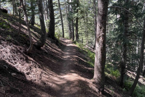
Salamander Flat (2150)
Salamander Flat is a single-track that runs south from Pine Hollow and ends at the Timpanooke parking lot. Riding away from Pine Hollow, it's a gradual descent to the parking lot. This trail is very smooth, without many obstacles, but can be narrow in sections. One of these is a traverse across a wo...
Learn more about Salamander Flat (2150)
ATV trails near Sandy, Utah
Explore ATV-friendly trails near you. These trails are accessible for vehicles up to 50 inches wide, perfect for ATVs and smaller off-road machines.
Mineral Fork
Mineral Fork gets the designation as the only off-road route open in the Cottonwoods above Salt Lake County. This trail is popular with dirt bikes, ATVs and hikers. Be sure to respect anyone that is using the trail. Your vehicle has to be under 50" to complete the trail. Please be courteous and obey...
Learn more about Mineral Fork
Silver Lake Road
This 9-mile out-and-back dirt road from Tibble Fork Reservoir to Silver Lake is beautiful and boasts mountain views. Make sure to bring your paddleboards and/or kayaks to use at either lake. The road is well maintained and driven by cars and vans but is narrow in a few places-not quite wide enough f...
Learn more about Silver Lake Road
Major Evans
This is a narrow track through pleasant trees. The track switches up the mountainside and provides good views of the surrounding peaks. Since it ends at a locked gate, it needs an hour up, and an hour down. Passing can be difficult due to the track width. There are some pleasant meadows at the turno...
Learn more about Major Evans
American Fork Snake Creek
This trail is a low risk, high pay out trail with lots of jaw dropping views. The trail could honestly be done in a 2WD sedan if you don't explore any of the side trails. There are lots of picnicking and dispersed camping sites along the way. The trail runs from Tibble Fork reservoir in American ...
Learn more about American Fork Snake Creek
UTV/side-by-side trails near Sandy, Utah
Find UTV and side-by-side trails near you. These trails accommodate vehicles up to 60 inches wide, ideal for UTVs, side-by-sides, and wider off-road rigs.
Silver Lake Road
This 9-mile out-and-back dirt road from Tibble Fork Reservoir to Silver Lake is beautiful and boasts mountain views. Make sure to bring your paddleboards and/or kayaks to use at either lake. The road is well maintained and driven by cars and vans but is narrow in a few places-not quite wide enough f...
Learn more about Silver Lake Road
Major Evans
This is a narrow track through pleasant trees. The track switches up the mountainside and provides good views of the surrounding peaks. Since it ends at a locked gate, it needs an hour up, and an hour down. Passing can be difficult due to the track width. There are some pleasant meadows at the turno...
Learn more about Major Evans
American Fork Snake Creek
This trail is a low risk, high pay out trail with lots of jaw dropping views. The trail could honestly be done in a 2WD sedan if you don't explore any of the side trails. There are lots of picnicking and dispersed camping sites along the way. The trail runs from Tibble Fork reservoir in American ...
Learn more about American Fork Snake Creek
Mary Ellen Gulch
Scenic in-and-out trail with mild technical driving. This beautiful country includes rich vegetation, and the trail follows a rocky stream that flows year-round. Watch for huckleberries and wild raspberries along the trail early in the summer and changing leaves during the fall. This is considered o...
Learn more about Mary Ellen Gulch
The onX Offroad Difference
onX Offroad combines trail photos, descriptions, difficulty ratings, width restrictions, seasonality, and more in a user-friendly interface. Available on all devices, with offline access and full compatibility with CarPlay and Android Auto. Discover what you're missing today!
Open Trail Map