
Dirt Bike Trails
Near Salem, New York
Explore All Dirt Bike Trails Near Salem, New York
Dirt Bike Trails Near Salem, New York
Discover the best dirt bike trails near you. Browse trail maps, check difficulty ratings, and find your next adventure — whether you're looking for a quick ride or an all-day expedition.
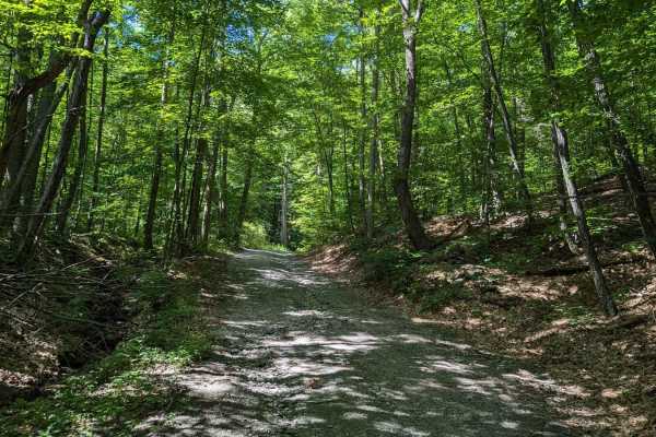
Southeast Corners Road
Vermont Class 4 Road: This is an easy drive through a notch between Little Equinox and Pendock Hill. The trail is sometimes steep, especially on the eastern slope, but includes nothing too technical. The road parallels Skyline Drive, the longest paved toll road in the US for some of the eastern clim...
Learn more about Southeast Corners Road
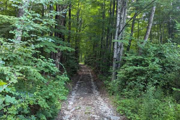
Beartown Road
This is another of the amazing Class 4 roads in Vermont. Beartown Road travels from Manchester to Beartown via a notch between Mount Equinox (the highest peak of the Taconic range) and Mother Myrick Mountain. The road from Manchester begins as an easy but steep road, with wooded views occasionally e...
Learn more about Beartown Road
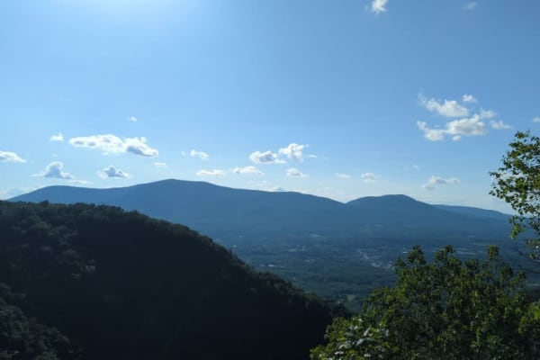
Old Rootville Road
Vermont Class 4 Road: This up-and-back road is a quick, unchallenging trail to an amazing view of Prospect Rock. The trail ends at a gate shortly after it is joined by the Appalachian Trail. If you hit the gate, you already drove by the lookout. Once the AT enters the road from the left, there is a ...
Learn more about Old Rootville Road
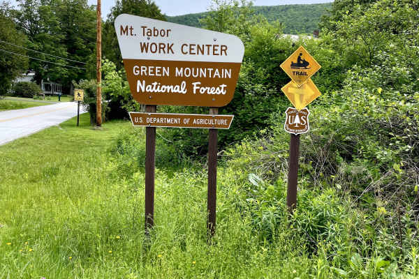
Danby Depot Spur - FS 48A
A quick spur through an easily accessible forest trail set on the west side of the Green Mountain National Forest. This spunky trail may be short, but the sounds of being in the middle of nowhere quickly consume you. While traversing slightly rutted dirt tracks, you'll come upon a couple of small hi...
Learn more about Danby Depot Spur - FS 48A
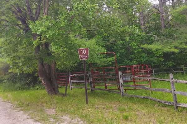
Danby (FS 10)
Danby (FS 10) is a straightforward forest road best suited for casual offroaders and overlanders looking for a quiet drive through the Green Mountain National Forest with minimal technical challenge. Running between Danby-Landgrove Road and Little Michigan trailheads along the edges of the Peru Peak...
Learn more about Danby (FS 10)
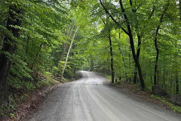
Shelving Rock Road
Shelving Rock Road starts at the Sly Pond Road and takes you to several primitive campsites, trailheads that lead to breathtaking waterfalls, and Lake George in the Lake George Wild Forest in the eastern part of Adirondack Park. It is a gravel forestry road with some soft sand spots that can turn in...
Learn more about Shelving Rock Road
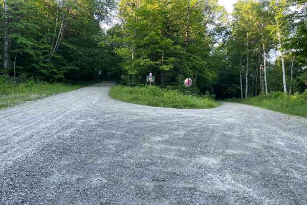
Old Job Rd Trail
An easy drive just off a fork from FR 10. A few twists and turns through the trees take you to a spectacular camping area right on the water. This one-vehicle-wide dirt road will bring you over a bridge and through the woods- some parts on foot, others on wheels. Foot traffic is welcome to cross thi...
Learn more about Old Job Rd Trail
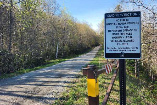
US FSR 74
This is a well-maintained gravel road flanked by forests and dispersed campsites on either side. There is a gate at the entrance which is closed from December 15th to May 1st. Camping is allowed at the dispersed campsites which include space for 1-2 cars and a fire ring but no bathrooms. There are n...
Learn more about US FSR 74
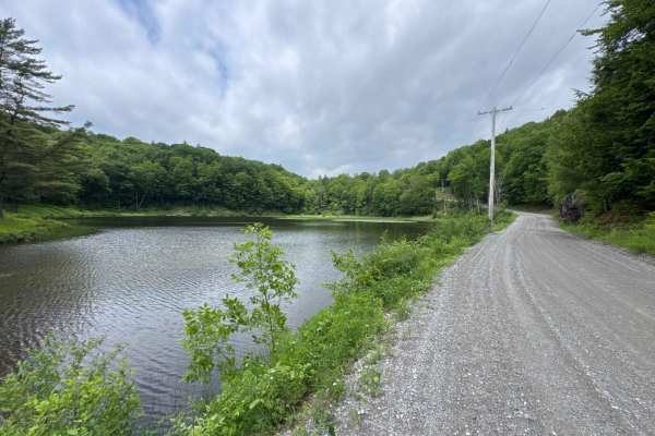
Hog Town Road
Hog Town Road connects Shelving Rock Road at the west end and County Road 16 at the east end of the trail. The road takes you to a few hiking trails and a fishing pond in the Lake George Wild Forest in the eastern part of Adirondack Park. It is a gravel forestry road with some soft sand spots that c...
Learn more about Hog Town Road
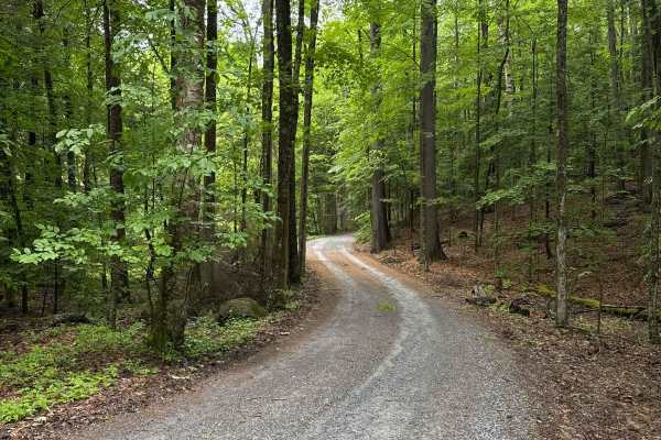
Dacy Clearing Road
The Dacy Clearing Road starts at the Shelving Rock Road and takes you to several primitive campsites and the Dacy Clearing Trailhead in the Lake George Wild Forest in the eastern part of the Adirondack Park. It is a gravel forestry road with some soft sand spots that can turn into mud holes after he...
Learn more about Dacy Clearing Road
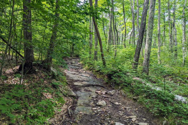
Old Military Road/TH-35
If entering from the south, the hard part is first. The northern end of the trail is an easy dirt track. Coming up the hill from the south are many differential dingers and under carriage crunchers. The trail gets a bit narrow at times but is easily passed with a good spotter. The rougher parts skir...
Learn more about Old Military Road/TH-35
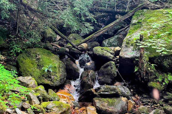
Torrey Mountain Road
This is an unmaintained road in Florida, Massachusetts. The northern end is about a mile from the eastern portal of the Hoosac Tunnel, once the world's second-largest tunnel, and climbs southward out of the beautiful Deerfield River valley. One of the more challenging trails in the Berkshires, this ...
Learn more about Torrey Mountain Road
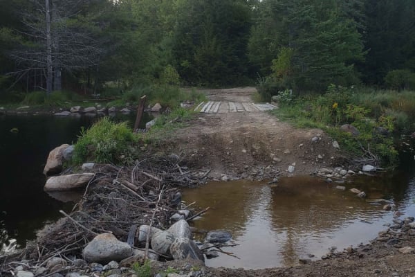
Tannery Rd
Tannery road is a nice connecting off-road trail between Rt 125 and Rt 30. From north to south it starts off with a rocky uphill that transitions to some nice wooded trail. There is a beaver dam/ stream crossing with a small bridge in one spot and water crossing in another. The trail is mostly d...
Learn more about Tannery Rd
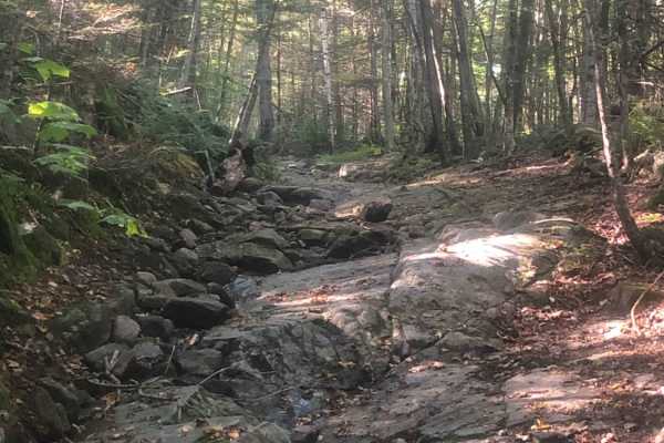
Cobble Hill Road Trail
This trail starts at the end of Cobble Hill Rd and ends at Stones Mill Rd. It is primarily uphill on wet, uneven, rocky terrain consisting of large rocks to climb over and loose gravel. There are a lot of steep drops that a stock vehicle may not be able to handle. Along the trail lies a small cemete...
Learn more about Cobble Hill Road Trail
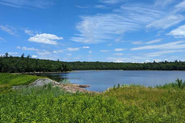
Ashley Lake Road
Ashley Lake Road is an old, unmaintained road through October Mountain State Forest. It rolls through hardwood forests past multiple lakes/reservoirs, including Ashley Lake, Sandwash Reservoir (this has a unique "aerator" which is a large fountain in the middle of the woods), Clapp Pond, and Mud Pon...
Learn more about Ashley Lake Road
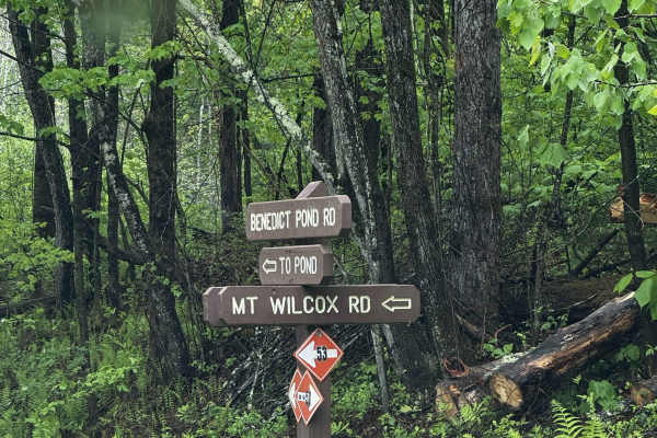
Mount Wilcox Road
Mt Wilcox Road is the main loop that meanders through Beartown State Forest. The loop is 4.3 miles and climbs from 1,600 feet to 2,100 feet. The trail begins and ends off Benedict Pond Road. Halfway through the route from either direction is a short spur that breaks off and provides access to the su...
Learn more about Mount Wilcox Road
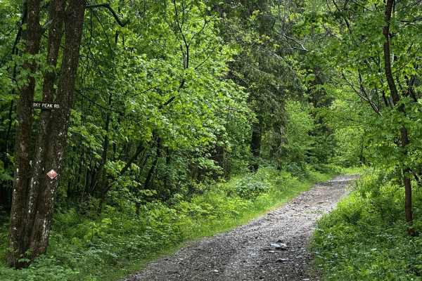
Sky Peak Road
Sky Peak Road is a short connector between Beartown Mountain Road and Wilcox Mountain Road. The trail begins from Beartown and climbs from 1760 to 1900 feet in the short 0.7 miles of the trail over loose rock. The trail is well-graded in most sections, with some showing exposed rock. The trail ends...
Learn more about Sky Peak Road
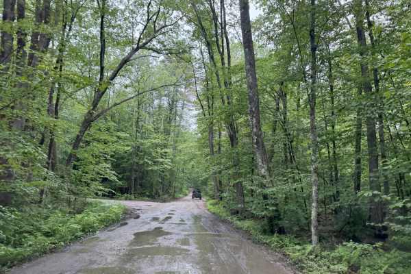
Old Windsor Mountain Road to Sulpher Hill Road
This route travels on two NH Class 6 roads up and down Windsor Mountain and up and down Sulpher Hill. Like all Class 6 roads, these roads contain many easy sections and numerous challenging sections. The trail starts on a long uphill climb up the east side of Windsor Mountain. The ascent has several...
Learn more about Old Windsor Mountain Road to Sulpher Hill Road
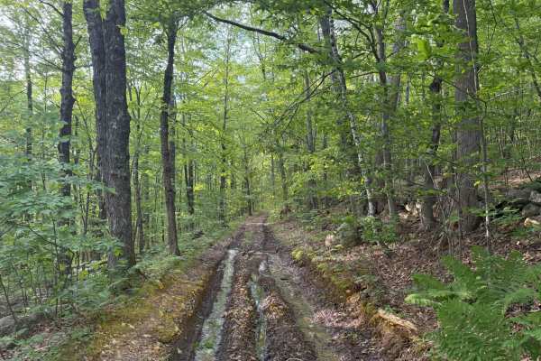
Brimstone Corner Road
This Class 6 road can be accessed from the north on Brimstone Corner Road (paved section), from the southeast on Old Antrim Road (Class 6), or from the southwest on Weston Road (Class 6). This fairly easy route and is a Class 6 winding road through NH's old-growth forest. The trail is a dirt road wi...
Learn more about Brimstone Corner Road
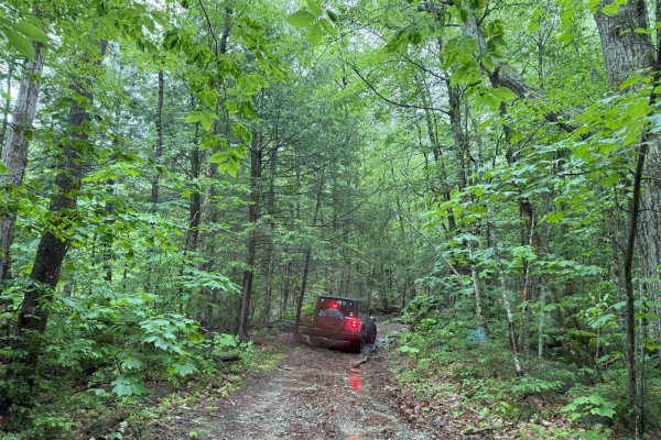
Old Antrim Rd to Weston Rd to Depot Rd
This ride wanders through three sections of Class 6 roads. You can do this ride in either direction. We traveled North to South but passed others doing the opposite. This route will take you through dense old-growth NH forests and up and down Ball Hill. The terrain is muddy, rocky, and hilly. The fi...
Learn more about Old Antrim Rd to Weston Rd to Depot Rd
ATV trails near Salem, New York
Explore ATV-friendly trails near you. These trails are accessible for vehicles up to 50 inches wide, perfect for ATVs and smaller off-road machines.
Southeast Corners Road
Vermont Class 4 Road: This is an easy drive through a notch between Little Equinox and Pendock Hill. The trail is sometimes steep, especially on the eastern slope, but includes nothing too technical. The road parallels Skyline Drive, the longest paved toll road in the US for some of the eastern clim...
Learn more about Southeast Corners Road
Beartown Road
This is another of the amazing Class 4 roads in Vermont. Beartown Road travels from Manchester to Beartown via a notch between Mount Equinox (the highest peak of the Taconic range) and Mother Myrick Mountain. The road from Manchester begins as an easy but steep road, with wooded views occasionally e...
Learn more about Beartown Road
Old Rootville Road
Vermont Class 4 Road: This up-and-back road is a quick, unchallenging trail to an amazing view of Prospect Rock. The trail ends at a gate shortly after it is joined by the Appalachian Trail. If you hit the gate, you already drove by the lookout. Once the AT enters the road from the left, there is a ...
Learn more about Old Rootville Road
Danby Depot Spur - FS 48A
A quick spur through an easily accessible forest trail set on the west side of the Green Mountain National Forest. This spunky trail may be short, but the sounds of being in the middle of nowhere quickly consume you. While traversing slightly rutted dirt tracks, you'll come upon a couple of small hi...
Learn more about Danby Depot Spur - FS 48A
UTV/side-by-side trails near Salem, New York
Find UTV and side-by-side trails near you. These trails accommodate vehicles up to 60 inches wide, ideal for UTVs, side-by-sides, and wider off-road rigs.
Old Rootville Road
Vermont Class 4 Road: This up-and-back road is a quick, unchallenging trail to an amazing view of Prospect Rock. The trail ends at a gate shortly after it is joined by the Appalachian Trail. If you hit the gate, you already drove by the lookout. Once the AT enters the road from the left, there is a ...
Learn more about Old Rootville Road
Danby Depot Spur - FS 48A
A quick spur through an easily accessible forest trail set on the west side of the Green Mountain National Forest. This spunky trail may be short, but the sounds of being in the middle of nowhere quickly consume you. While traversing slightly rutted dirt tracks, you'll come upon a couple of small hi...
Learn more about Danby Depot Spur - FS 48A
Old Job Rd Trail
An easy drive just off a fork from FR 10. A few twists and turns through the trees take you to a spectacular camping area right on the water. This one-vehicle-wide dirt road will bring you over a bridge and through the woods- some parts on foot, others on wheels. Foot traffic is welcome to cross thi...
Learn more about Old Job Rd Trail
US FSR 74
This is a well-maintained gravel road flanked by forests and dispersed campsites on either side. There is a gate at the entrance which is closed from December 15th to May 1st. Camping is allowed at the dispersed campsites which include space for 1-2 cars and a fire ring but no bathrooms. There are n...
Learn more about US FSR 74
The onX Offroad Difference
onX Offroad combines trail photos, descriptions, difficulty ratings, width restrictions, seasonality, and more in a user-friendly interface. Available on all devices, with offline access and full compatibility with CarPlay and Android Auto. Discover what you're missing today!
Open Trail Map