
Dirt Bike Trails
Near Saint Helens, Oregon
Explore All Dirt Bike Trails Near Saint Helens, Oregon
Dirt Bike Trails Near Saint Helens, Oregon
Discover the best dirt bike trails near you. Browse trail maps, check difficulty ratings, and find your next adventure — whether you're looking for a quick ride or an all-day expedition.

Pittsburg Road
This timberland traverse route offers a journey through lush landscapes of private timber company land and access to the pristine Tillamook State Forest. Adventurers are immediately greeted with a canopy of towering conifers and the soothing sounds of nature. The trail gradually ascends, providing g...
Learn more about Pittsburg Road
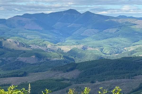
PH-3000
This is an easy trail that is mainly dirt with gravel. The trail has a few washouts and ruts. The trail is an out-and-back that offers some gorgeous views of Lake Merwin. There are a few areas that have overgrowth on the trail but nothing that will cause pin striping. You might encounter a few downe...
Learn more about PH-3000
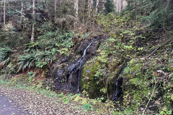
Powder Horn Spur Road
The Powder Horn Spur is an easy, out-and-back gravel road branching off the main Powder Horn route. Suitable for most vehicles, the road features minimal elevation change and generally maintains a single-lane width, with several widened pull-outs available for parking or passing.
As you drive, the ...
Learn more about Powder Horn Spur Road
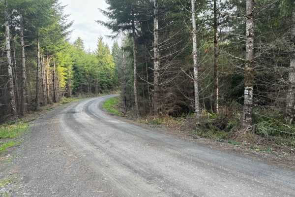
Karth Road
This forest road connects Apiary Road with Pittsburg Road and is relatively level. It is, however, a typical logging road with potholes, washboard, and the occasional windfall tree in the way. This route begins on Apiary Road adjacent to the Columbia County Park Camp Wilkerson. There's nothing extra...
Learn more about Karth Road
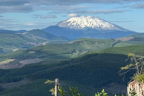
PH-4000
This is an easy trail that is mainly dirt with gravel. The trail has a few washouts and ruts but nothing that is overly challenging. There is one area of the trail where low-clearance vehicles might scrape their underbody. The trail leads to Fredrickson Road which can be used as a connecting point f...
Learn more about PH-4000
Powder Horn
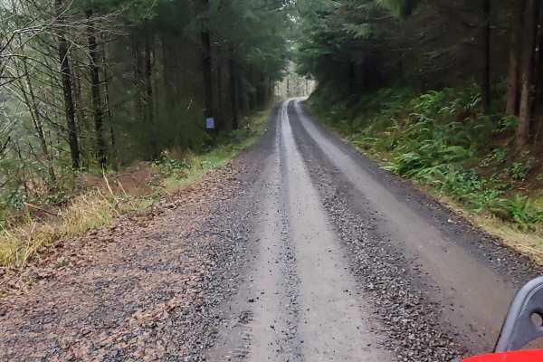
Easy scenic route through the woods that can be done in a 2WD with good clearance. There are wonderful views and plenty of side roads to check out and explore. There are also a few dispersed camping spots along the way. Be careful at blind corners, this road sees a decent amount of traffic and loggi...
Learn more about Powder Horn

L-1100
L-1100 is located in the Yacolt Burn State Forest which is nestled at the base of the Cascade Mountain Range in Southwest Washington. These roads are well maintained and are gravel with very few potholes. There are houses and private property along this route for the first section of this trail. The...
Learn more about L-1100
Cold Creek Camp
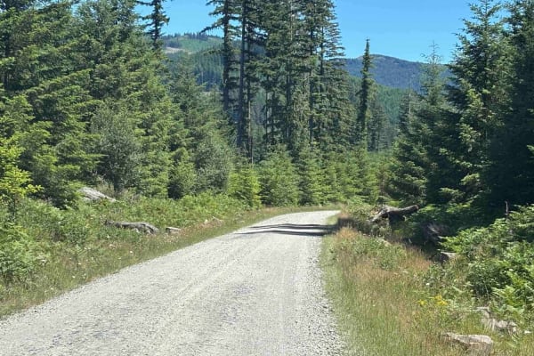
On this trail, expect a peaceful atmosphere with a well-maintained gravel road. Most vehicles can handle it in dry conditions with no 4WD needed. You'll cruise at 15 to 25 mph, kicking up a bit of dust when there are dry conditions. The campground is open Thursday through Monday and has 9 spots. Ver...
Learn more about Cold Creek Camp

L-1200
L-1200 is located in the Yacolt Burn State Forest. It's an easy gravel road that is well maintained by the state. Once on the trail, you will first cross the West Fork Washougal River where you can stop and enjoy the scenery and the small waterfall and even camp if you'd like. From there you continu...
Learn more about L-1200
L-1000
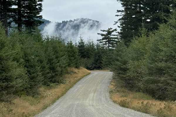
This is a point-to-point trail that will connect you between 2 other trails in the area. It will also lead you to the Yacoult Burn Trailhead where you can access the area's hiking trail. There is also access to Cold Creek Campground. The trail is mainly a wide gravel road that is comprised of loose ...
Learn more about L-1000

Larch Mountain L-1500
Larch Mountain L-1500 is located in the Yacolt Burn State Forest which encompasses 90,000 acres of forest in Southwest Washington. During the winter and spring, this area isn't advised for vehicle traffic as it is covered in snow. Late spring, summer and fall are the best times to enjoy this area. A...
Learn more about Larch Mountain L-1500
S-1000 Loop
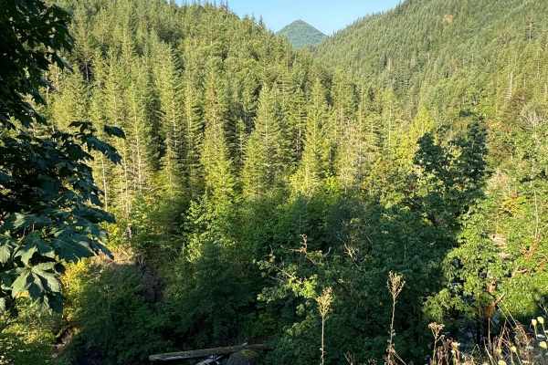
This is a fun trail leading into the Gifford National Forest area. It has minor ruts and washouts that I assume fill with mud in the rainy season. The trail leads you through some dense forest areas. Being a dense forest area, this trail has few spectacular mountain views. You might encounter some d...
Learn more about S-1000 Loop
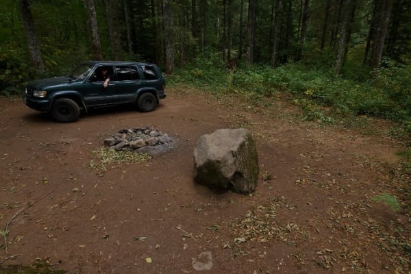
Gentle Campers Offroad Creekside Drive
This gentle path is along the East Fork Lewis River. You will find yourself amongst beautiful trees, waterfalls, and free campgrounds. Having recently experienced a fire in 21-22 offshooting paths may see burn damage. This road is calm and leads deeper into the forest and gives access to lots of off...
Learn more about Gentle Campers Offroad Creekside Drive
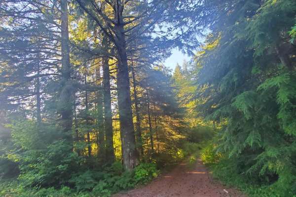
Hunters Bluff
Take the forest-covered path on your right. Deep woods become beautiful cliff sides, camping spots, and an overhang to a small creek where local wildlife comes to sip water. Large scat tracks litter this trail in Gifford Forest, as well as cliffsides, rough rocky patches, and fantastic views.
Learn more about Hunters Bluff
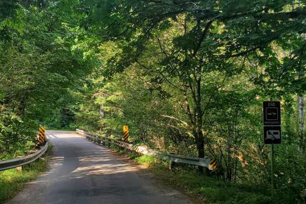
Axel Breaker Speed Bump Lane
Follow this trail deep into the woods for unmaintained over-landing, camping, hiking, hunting, foraging, and bird watching as well as practice shooting. This trail is densely forested and potholes will play tricks on your eyes in the shadows. Be careful and drive this road with caution. Follow beyon...
Learn more about Axel Breaker Speed Bump Lane

Jones Creek ORV
Jones Creek Trail is limited to vehicles less than 50" wide. It is approximately 11 miles long and has an elevation gain of almost 2500 feet. It is one way to travel with trail markers. It traverses forested areas and logged areas.
Learn more about Jones Creek ORV
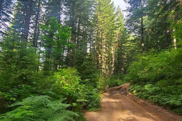
Deep Woods Brap Adventure
This road is not for the faint of heart or those without a plan. Follow this off-camber, mud-filled, axle-grabbing trail to the end only to unload a smaller off-road vehicle. Overgrown and with no good way to turn around, this trail may force you to back down. Be prepared. This is a connector trail ...
Learn more about Deep Woods Brap Adventure
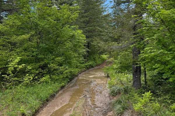
4104504 - Deep Woods Adventure
This is a deep forest route. The trail changes its surface several times and goes from a somewhat wide trail at times, to being very narrow and overgrown. The trail has very deep ruts and very deep washouts, a few of which will put you at extreme camber angles. Some of the ruts are very large with d...
Learn more about 4104504 - Deep Woods Adventure
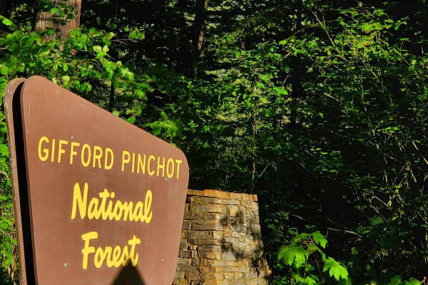
Deep Forest Connection Road
This beautiful trail takes you deep into Gifford Forest. Trees line your path as you cross pothole after pothole through gravel and mud. Following this path, you will find yourself with an option to go towards the mountain or deep into hunting areas. Shaded for most of the way, it is a beautiful cas...
Learn more about Deep Forest Connection Road
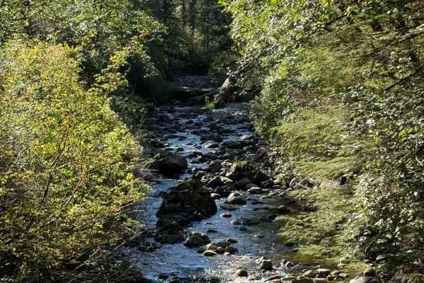
Poison Gulch Run
This is a deep forest trail that constantly changes its terrain type. It alternates from loose gravel to hard-packed gravel and hard-packed dirt with some rocky area mixed in. There are deep ruts and washouts along this trail that will put the driver in slight off-camber positions. Some of these rut...
Learn more about Poison Gulch Run
ATV trails near Saint Helens, Oregon
Explore ATV-friendly trails near you. These trails are accessible for vehicles up to 50 inches wide, perfect for ATVs and smaller off-road machines.
PH-3000
This is an easy trail that is mainly dirt with gravel. The trail has a few washouts and ruts. The trail is an out-and-back that offers some gorgeous views of Lake Merwin. There are a few areas that have overgrowth on the trail but nothing that will cause pin striping. You might encounter a few downe...
Learn more about PH-3000
Powder Horn Spur Road
The Powder Horn Spur is an easy, out-and-back gravel road branching off the main Powder Horn route. Suitable for most vehicles, the road features minimal elevation change and generally maintains a single-lane width, with several widened pull-outs available for parking or passing.
As you drive, the ...
Learn more about Powder Horn Spur Road
Karth Road
This forest road connects Apiary Road with Pittsburg Road and is relatively level. It is, however, a typical logging road with potholes, washboard, and the occasional windfall tree in the way. This route begins on Apiary Road adjacent to the Columbia County Park Camp Wilkerson. There's nothing extra...
Learn more about Karth Road
PH-4000
This is an easy trail that is mainly dirt with gravel. The trail has a few washouts and ruts but nothing that is overly challenging. There is one area of the trail where low-clearance vehicles might scrape their underbody. The trail leads to Fredrickson Road which can be used as a connecting point f...
Learn more about PH-4000
UTV/side-by-side trails near Saint Helens, Oregon
Find UTV and side-by-side trails near you. These trails accommodate vehicles up to 60 inches wide, ideal for UTVs, side-by-sides, and wider off-road rigs.
PH-3000
This is an easy trail that is mainly dirt with gravel. The trail has a few washouts and ruts. The trail is an out-and-back that offers some gorgeous views of Lake Merwin. There are a few areas that have overgrowth on the trail but nothing that will cause pin striping. You might encounter a few downe...
Learn more about PH-3000
Powder Horn Spur Road
The Powder Horn Spur is an easy, out-and-back gravel road branching off the main Powder Horn route. Suitable for most vehicles, the road features minimal elevation change and generally maintains a single-lane width, with several widened pull-outs available for parking or passing.
As you drive, the ...
Learn more about Powder Horn Spur Road
Karth Road
This forest road connects Apiary Road with Pittsburg Road and is relatively level. It is, however, a typical logging road with potholes, washboard, and the occasional windfall tree in the way. This route begins on Apiary Road adjacent to the Columbia County Park Camp Wilkerson. There's nothing extra...
Learn more about Karth Road
PH-4000
This is an easy trail that is mainly dirt with gravel. The trail has a few washouts and ruts but nothing that is overly challenging. There is one area of the trail where low-clearance vehicles might scrape their underbody. The trail leads to Fredrickson Road which can be used as a connecting point f...
Learn more about PH-4000
The onX Offroad Difference
onX Offroad combines trail photos, descriptions, difficulty ratings, width restrictions, seasonality, and more in a user-friendly interface. Available on all devices, with offline access and full compatibility with CarPlay and Android Auto. Discover what you're missing today!
Open Trail Map