Trail Overview
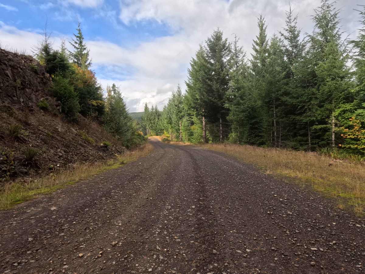
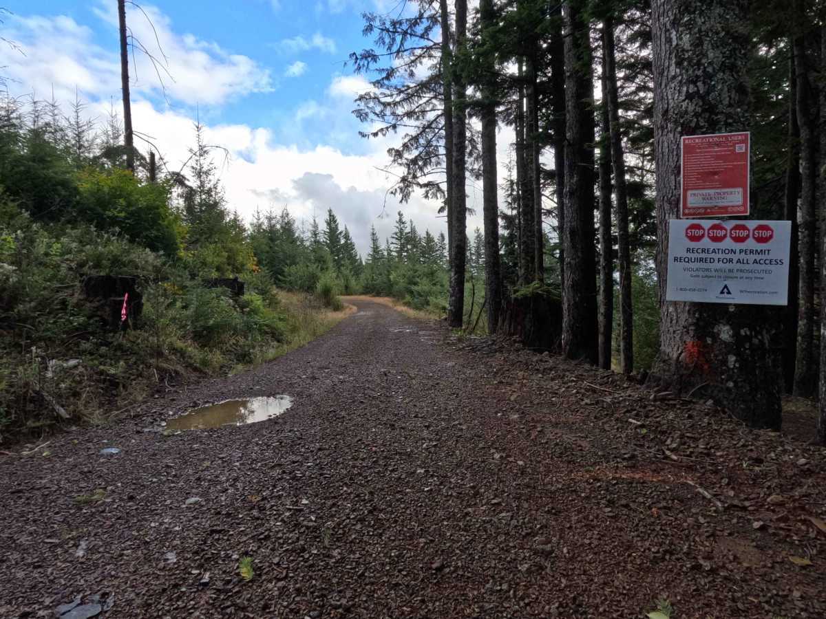
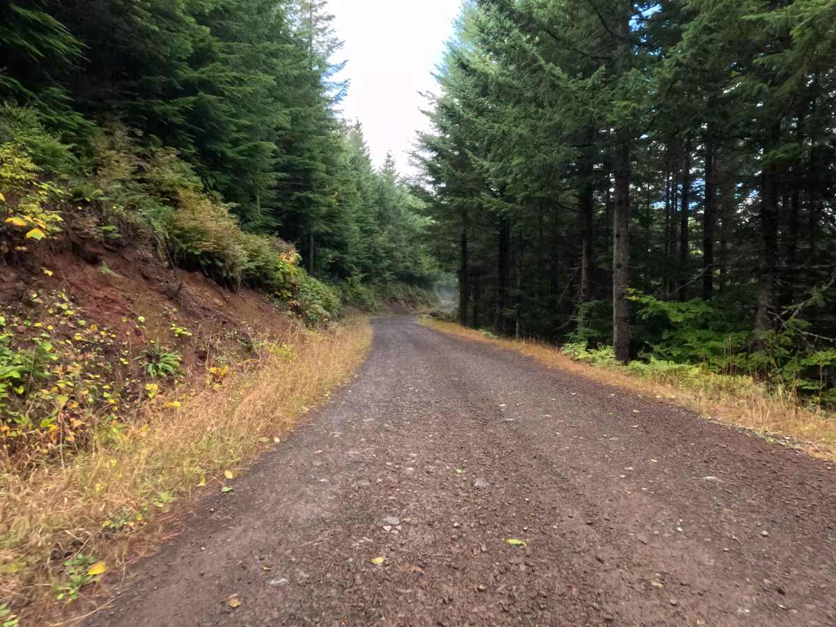
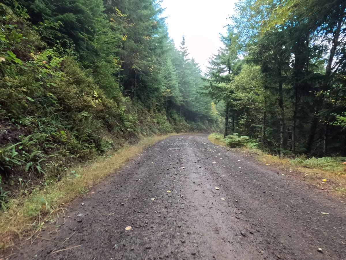
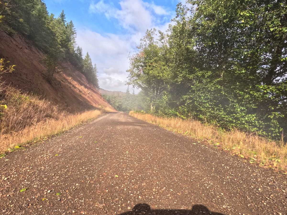
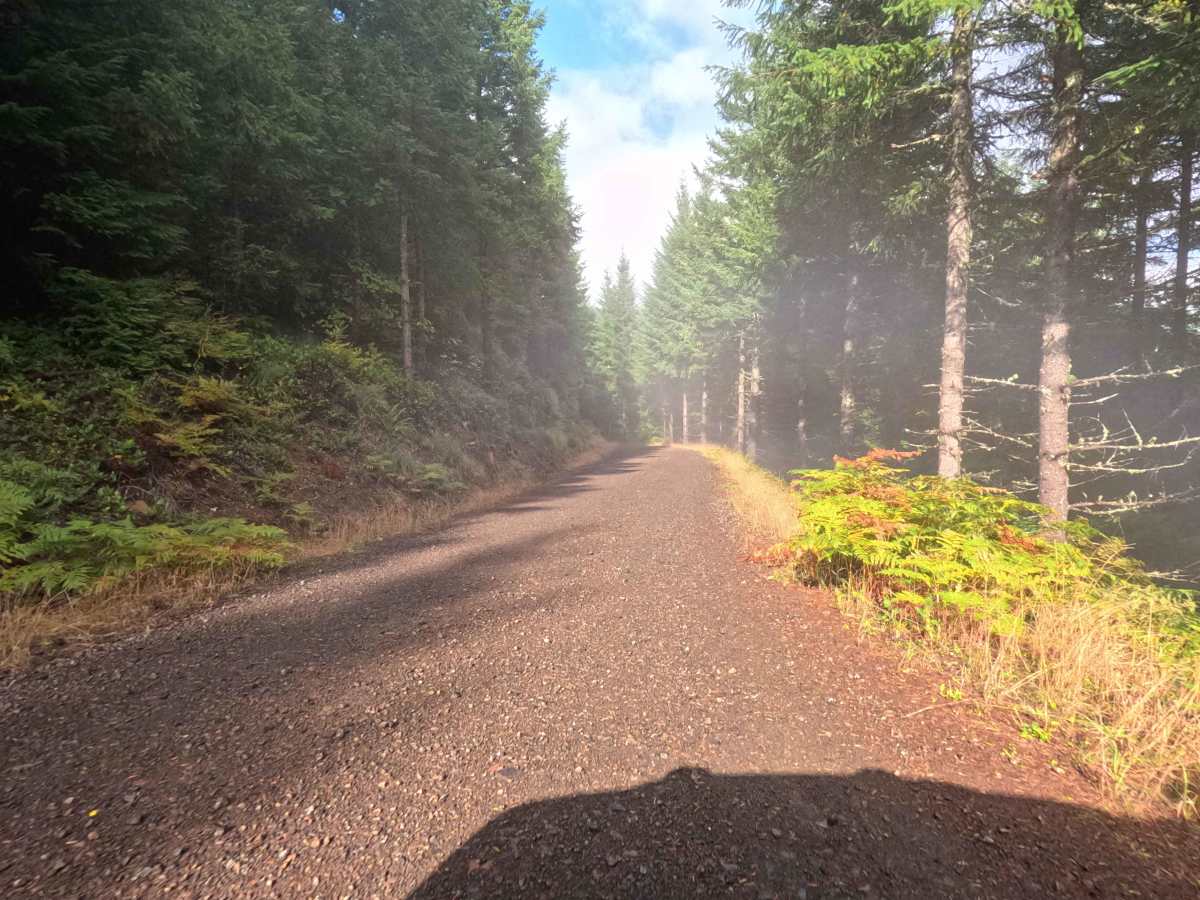
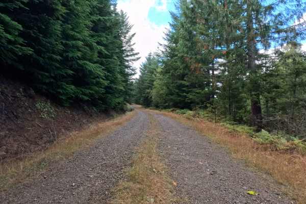
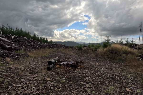
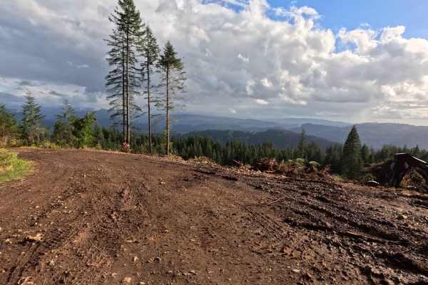
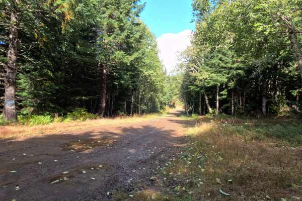
Branching off the local forestry network, N-6690 functions as a prominent out-and-back transit spur winding directly through Washington DNR land. The surrounding landscape is characterized by a dense, vibrant canopy of mature evergreens that periodically opens up to reveal sweeping hillside views of managed timberland. The driving surface consists of a broad, two-lane graded gravel forest road that holds a moderate Grade 2 difficulty rating due to its rough, chunky stone composition. Outdoor recreationists, hunters, and weekend explorers utilize this well-defined corridor primarily to access the sprawling Weyerhaeuser timberlands located at the route's terminus. The public journey comes to a definitive halt at a prominently posted boundary sign, which clearly warns that specialized recreation permits are strictly required for all access beyond that point. Without the proper authorization, visitors must utilize the available shoulder space to safely turn around and retrace their path out of the forest.
Difficulty
Assigned a moderate Grade 2 difficulty rating, this wide gravel road provides a highly accessible and relatively uncomplicated driving experience. Severe off-road hazards—such as deep mud pits, intimidating rock crawls, or treacherous shelf drop-offs—are entirely absent from the well-graded corridor. The primary terrain challenge is simply managing the persistent layer of rough, unrefined gravel that coats the roadbed. Navigating this chunky surface requires a controlled cruising speed to ensure consistent traction and to preserve passenger comfort by minimizing cabin vibrations. Standard factory ground clearance is more than sufficient to confidently roll over the loose stones and safely navigate the occasional shallow water puddle found along the broad pathway.