Trail Overview
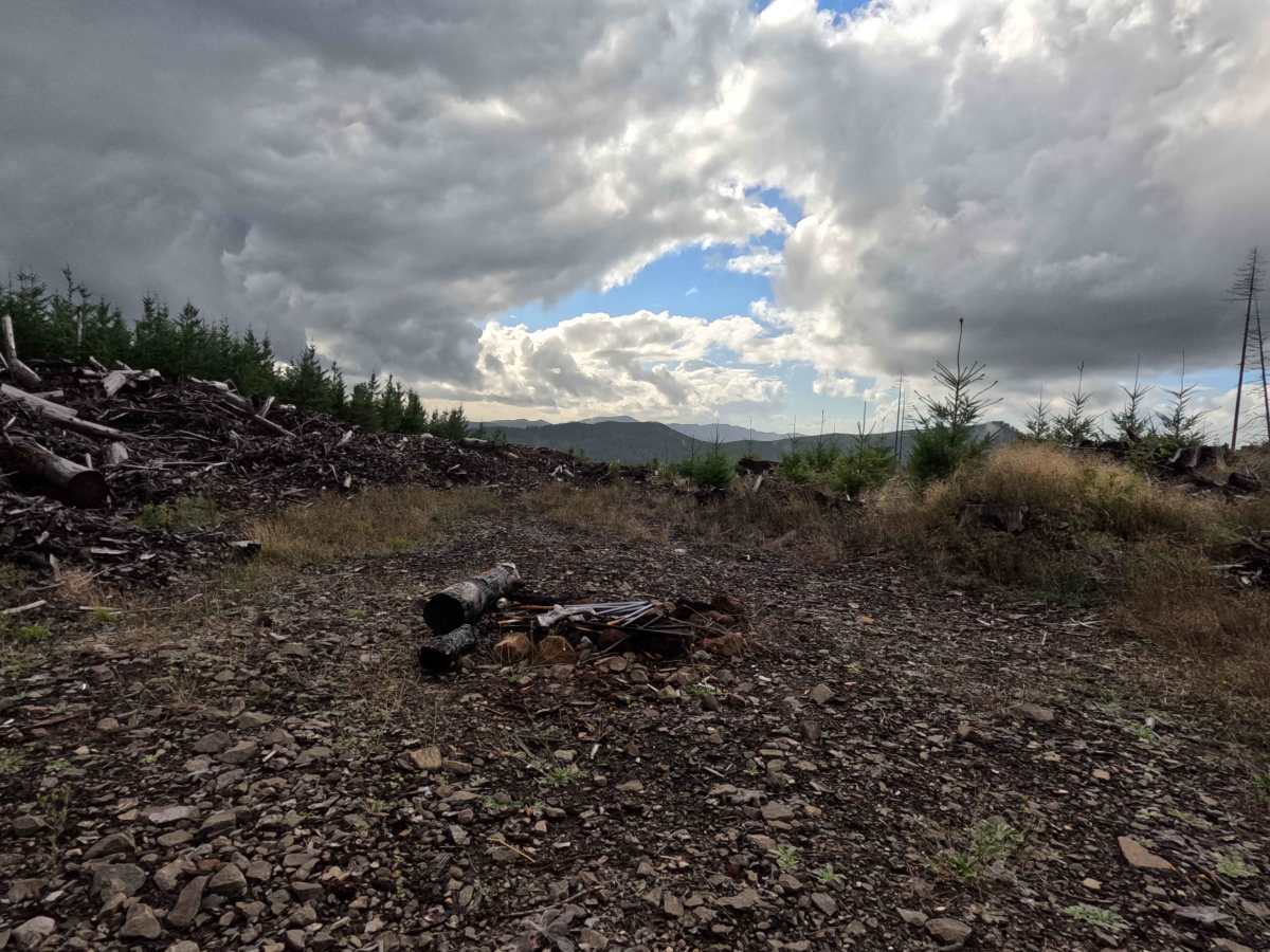
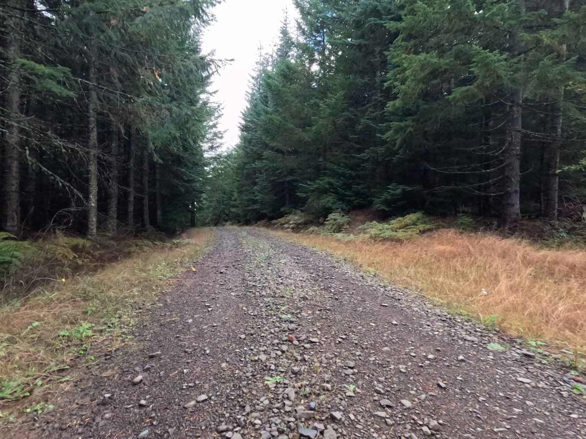
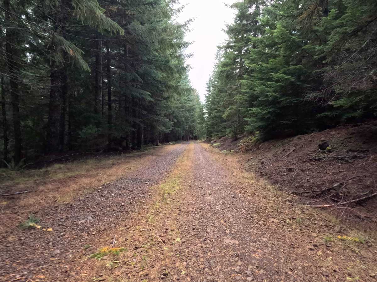
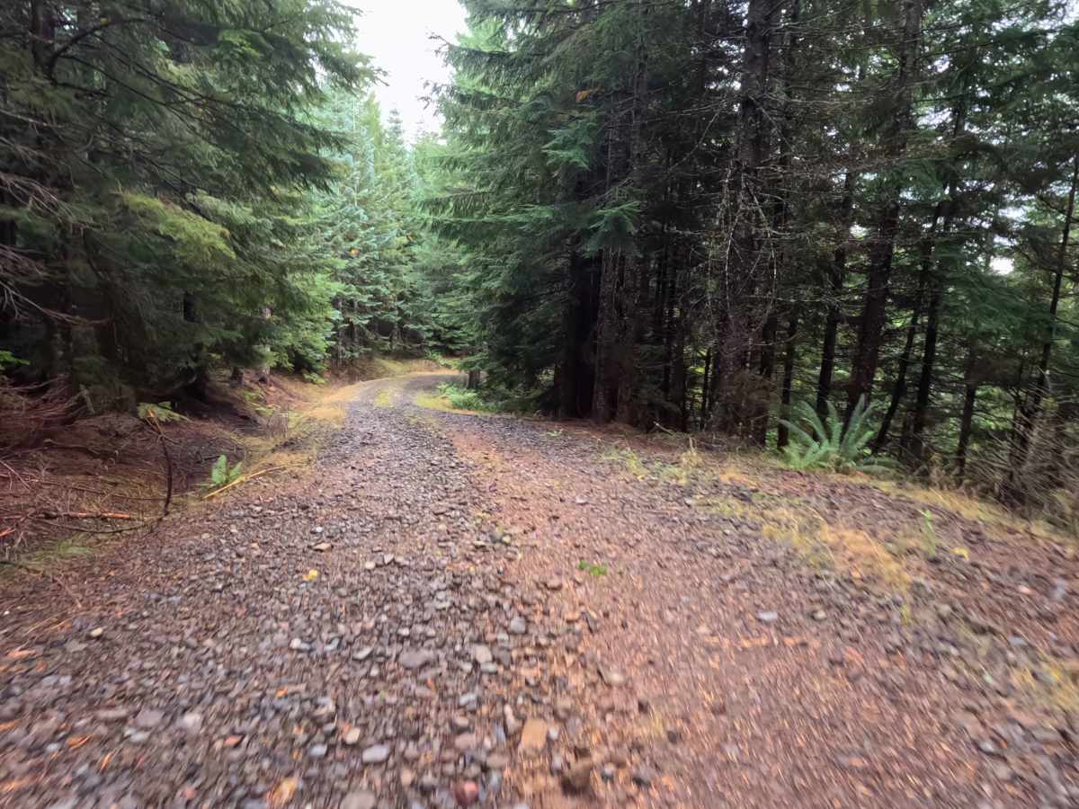
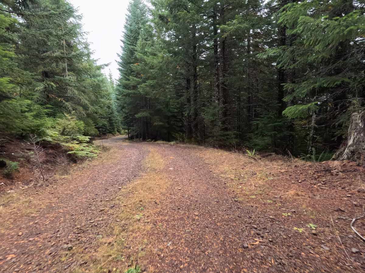
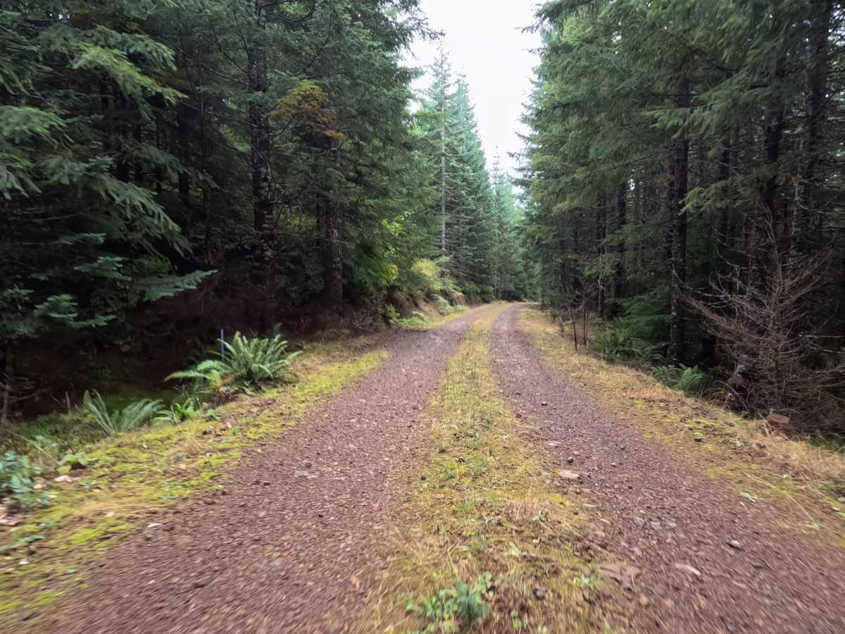
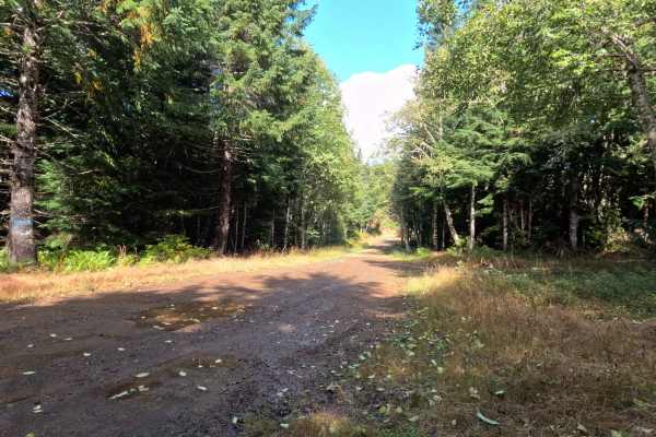
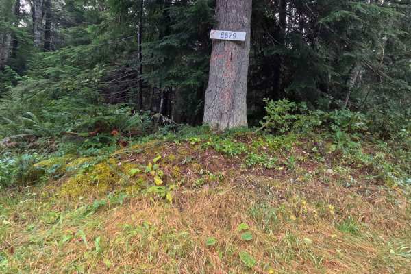
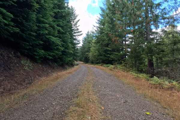
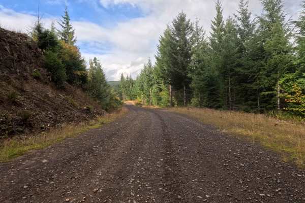
Branching off the local forestry network, N-6675B functions as a very short out-and-back spur leading directly toward the boundary of Washington DNR land. The pathway cuts through a dense, mature evergreen forest featuring a thick, fern-covered understory that heavily shades the corridor. Backcountry explorers occasionally navigate this brief detour to reach its highly secluded terminus or to find a quiet place in the woods. The driving surface consists of a single-lane forest service road heavily armored with chunky stone, securing a moderate Grade 2 difficulty rating. After just over half a mile, the public route dead-ends just inside the Weyerhaeuser timberland property line, opening up into a spacious clearing and former logging landing that provides ample room for visitors to safely turn around and reverse course.
Difficulty
This brief forest spur provides a structurally sound but consistently bumpy driving experience. Severe off-road hazards—such as deep mud bogs, intimidating boulder fields, or treacherous shelf drop-offs—are entirely absent from the shaded track. Instead, the primary terrain challenge is the persistent layer of rough, chunky rock that coats the roadbed. Navigating this unrefined foundation requires a slow, measured cruising speed to preserve passenger comfort and protect tires from sharp impacts. Standard factory ground clearance is more than adequate to safely roll over the loose stones and confidently execute a turnaround within the expansive logging clearing at the end of the line.