Trail Overview
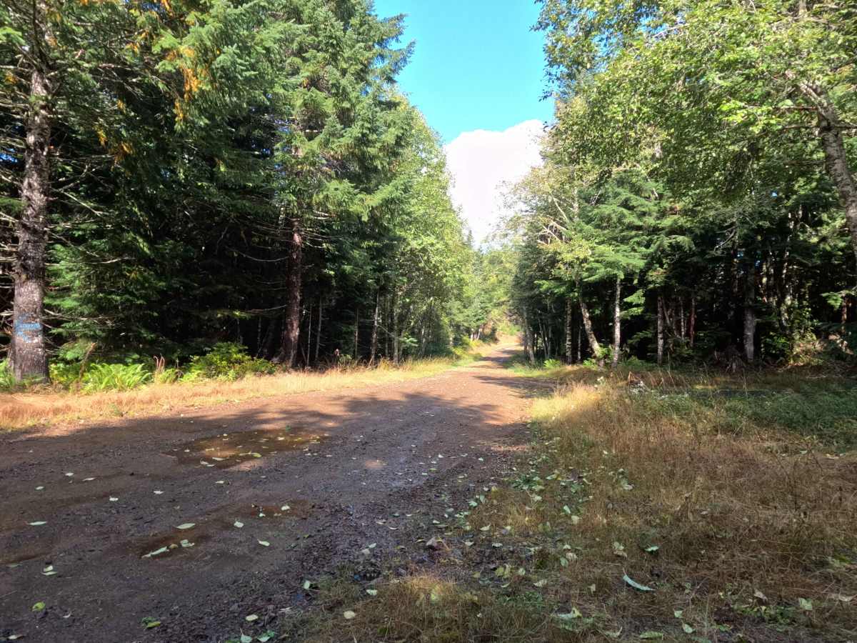
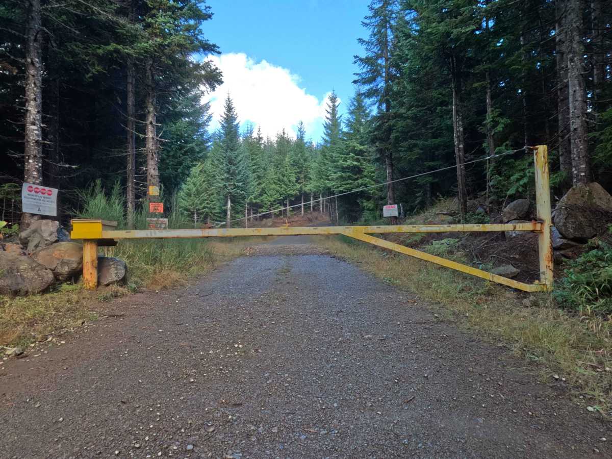
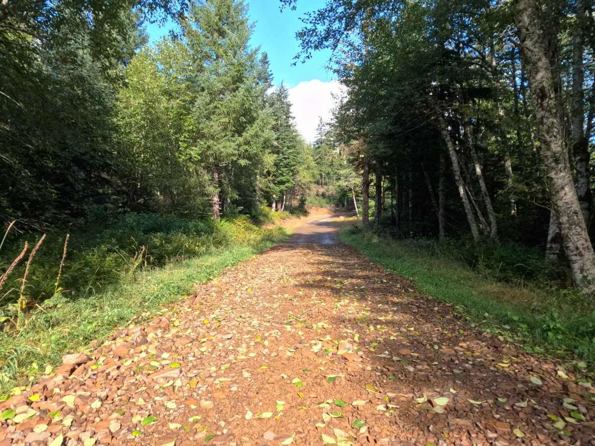
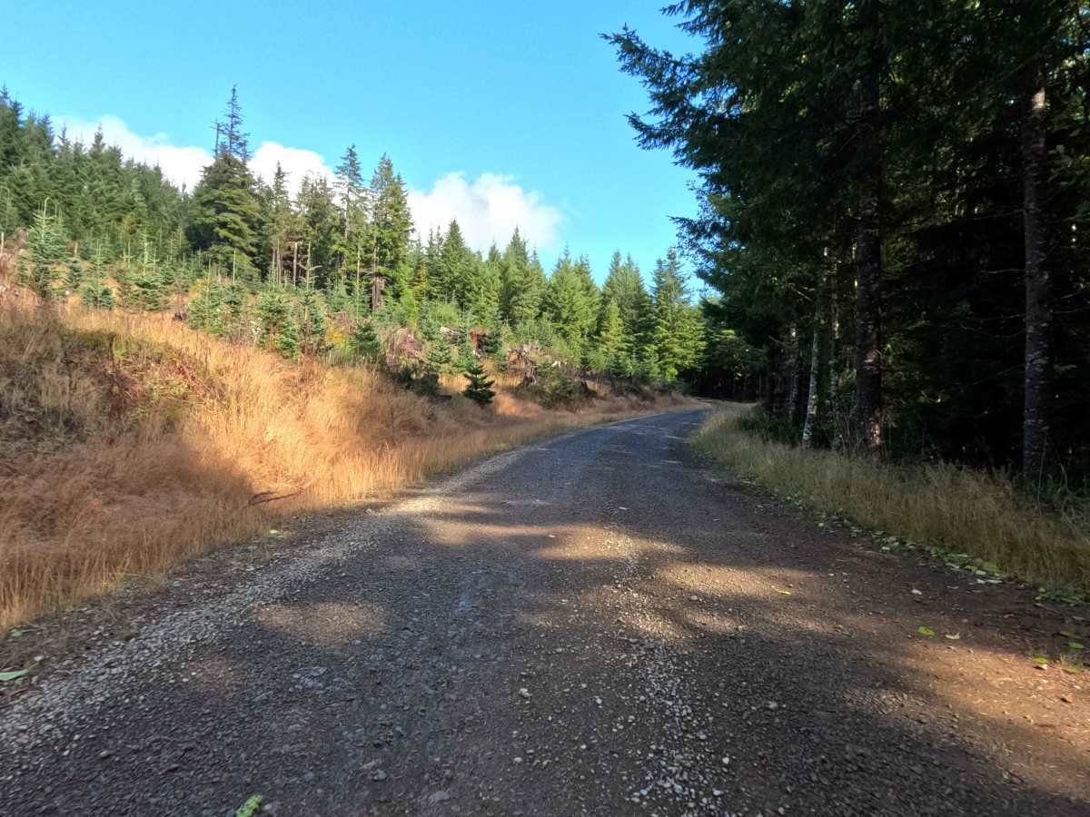
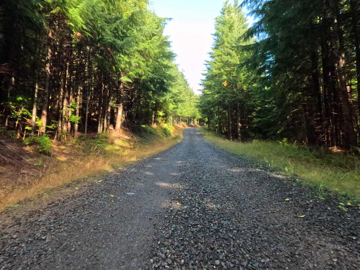
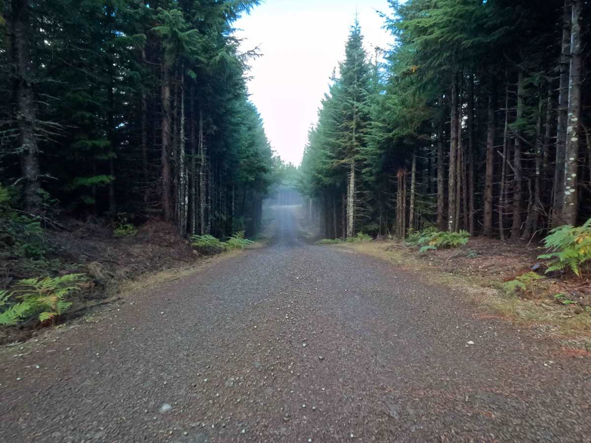
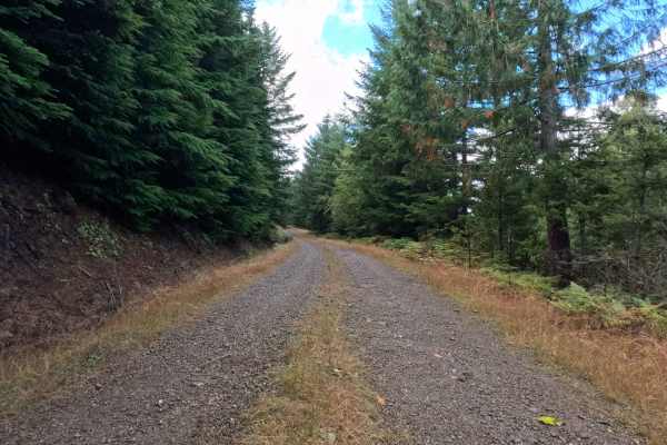
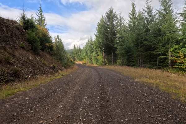
Branching into the managed woodlands, N-6680 serves as a brief, out-and-back transit spur winding through Washington DNR land. The surrounding environment consists of a densely shaded, mixed forest where tall evergreens and leafy deciduous trees form a vibrant canopy over the thoroughfare. Outdoor explorers and local travelers typically utilize this short route to navigate the forestry network or to reach the perimeter of the private logging properties. The driving surface consists of a wide, exceptionally smooth graded gravel road that earns a minimal Grade 1 difficulty rating. As a highly maintained corridor, the pathway allows for a relaxing and entirely uninterrupted drive through the serene landscape. The public journey is short-lived, officially coming to an end where a sturdy, locked yellow timber gate barricades the route. This secure boundary marks the entrance to restricted Weyerhaeuser timberland, forcing all motorized visitors to utilize the available space to turn around and reverse course back to the main trail system.
Difficulty
With an accessible Grade 1 difficulty rating, this wide forest service road offers an incredibly smooth, uncomplicated drive from start to finish. Technical off-road hazards—such as deep mud bogs, perilous rock crawls, or treacherous washouts—are entirely absent from the well-groomed route. The pathway's defining feature is its highly refined, graded gravel foundation, maintained for industrial access. Navigating this flat, packed surface requires no specialized off-road modifications, allowing momentum to be easily maintained without enduring harsh cabin vibrations. Standard factory ground clearance is more than adequate to glide along the pristine corridor and confidently execute a safe turnaround at the prominently marked yellow boundary gate