Trail Overview
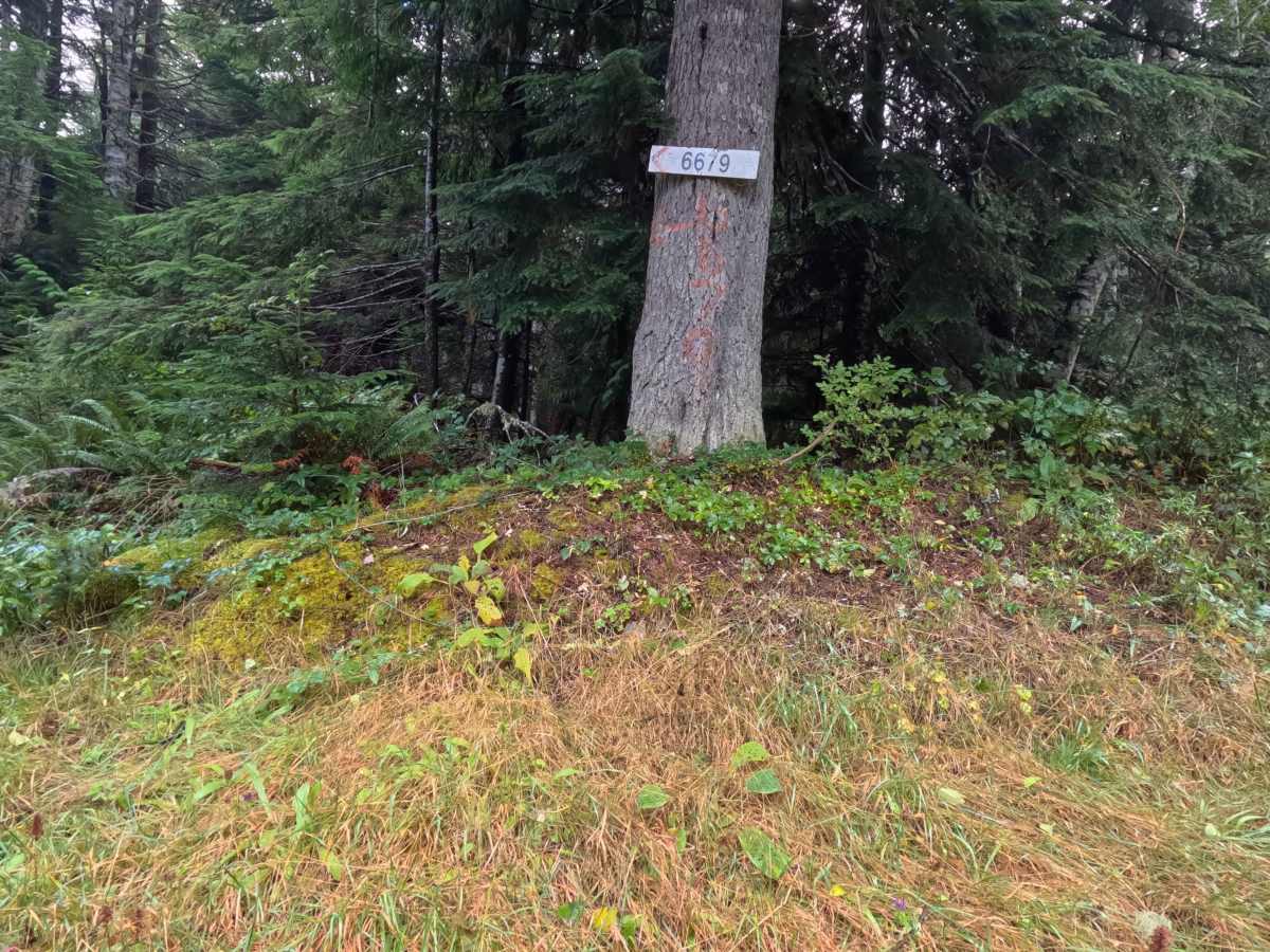
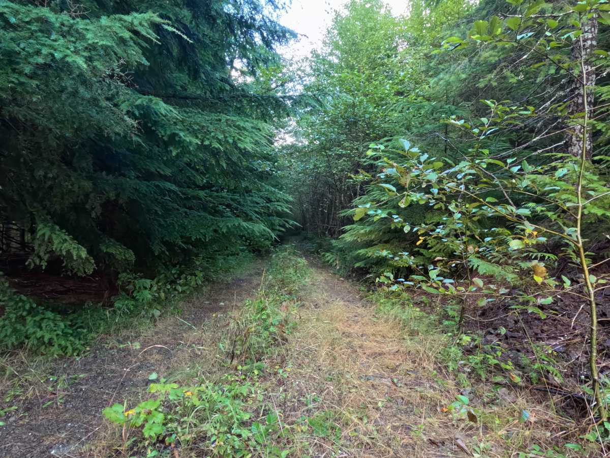
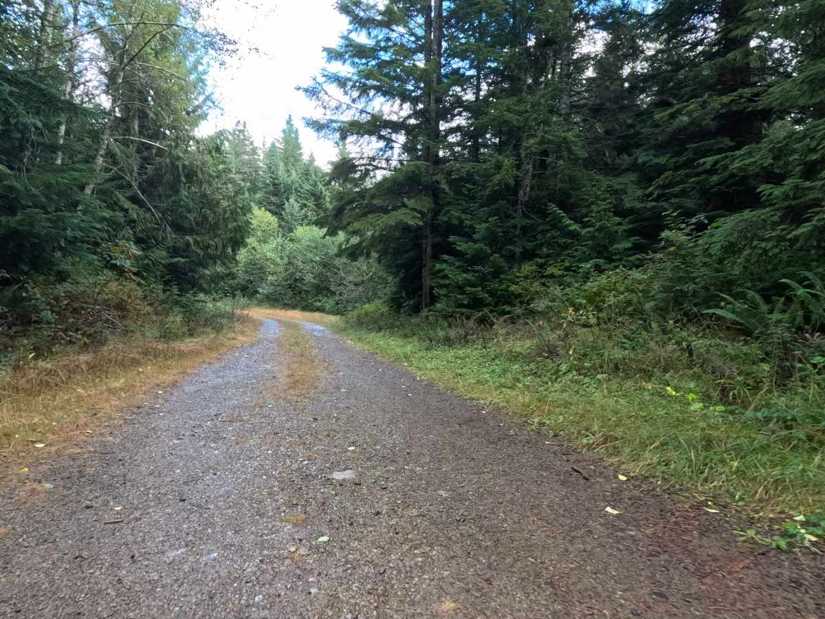
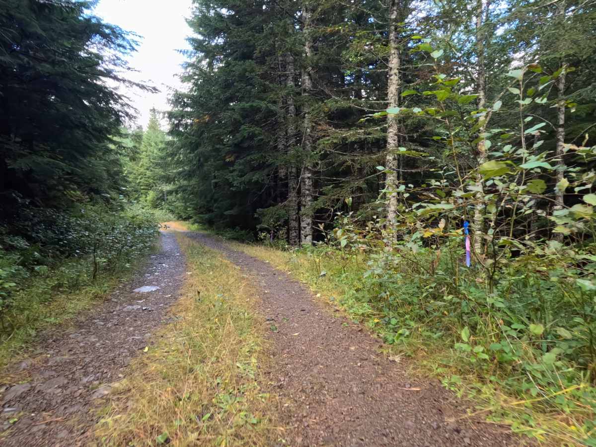
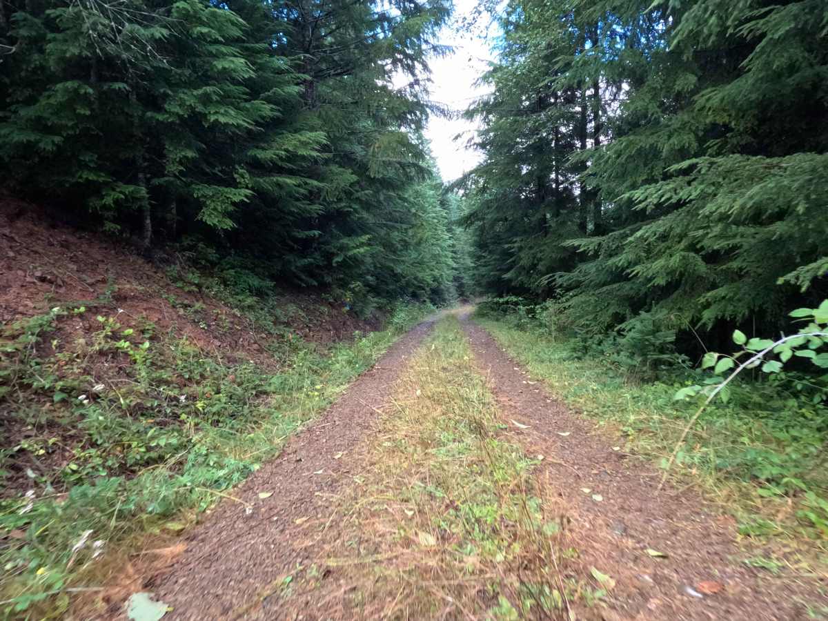
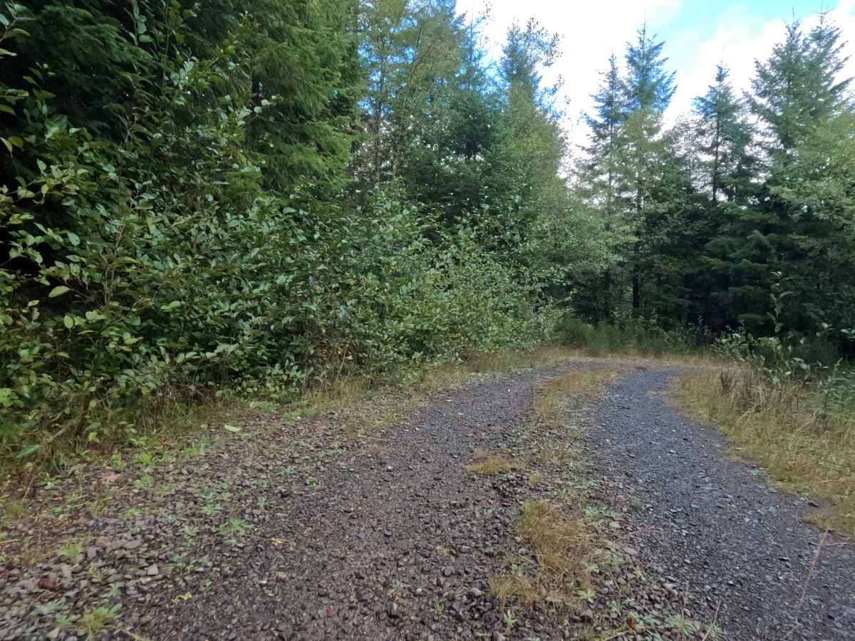
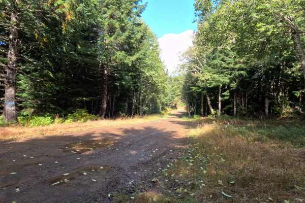
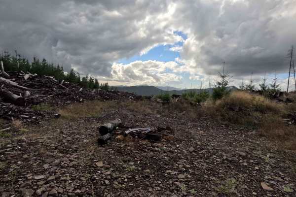
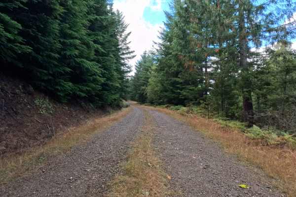
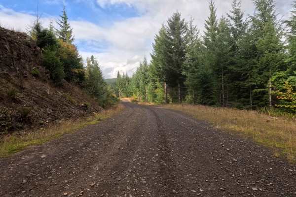
Tucked away in the dense, towering timber of the Gifford Pinchot National Forest, N-6679 operates as a highly secluded, out-and-back woodland spur. The route navigates through a vibrant, heavy evergreen environment where thick ferns and encroaching brush actively reclaim the margins of the pathway. Because of its forgotten nature, adventurous outdoor recreationists occasionally explore this quiet corridor seeking absolute wilderness isolation away from established campgrounds and busy transit routes. The driving surface consists of a little-used, rocky single-lane forest service road that commands a moderate Grade 2 difficulty rating due to its rough riprap foundation. As the journey progresses, the defined track slowly narrows, with tall grass dominating the center median. Ultimately, the short 0.9-mile drive simply devolves into nothing, concluding as nature completely takes back over and the road becomes too overgrown to comfortably continue, forcing visitors to carefully reverse course out of the thick timber.
Difficulty
Holding a moderate Grade 2 difficulty rating, this fading forest spur provides a structurally basic driving line that is heavily impacted by its unrefined foundation and aggressive overgrowth. Severe off-road hazards such as deep mud bogs, intimidating boulder crawls, or treacherous washouts are entirely absent from the shaded track. Instead, the primary terrain challenges are the persistent layer of rough riprap stone coating the roadbed and the extremely tight, encroaching vegetation that brushes against the vehicle's exterior. Navigating this bumpy, stone-layered surface requires a slow, measured crawling speed to preserve passenger comfort and protect tires from sharp impacts. Standard factory ground clearance is adequate to clear the grassy center median and safely roll over the loose rock before reaching the heavily overgrown dead end.