Trail Overview
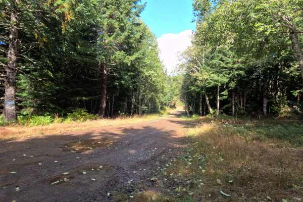
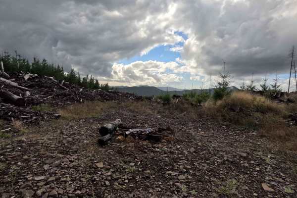
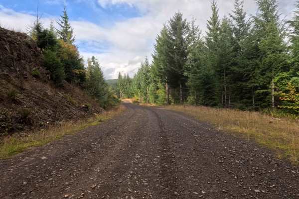
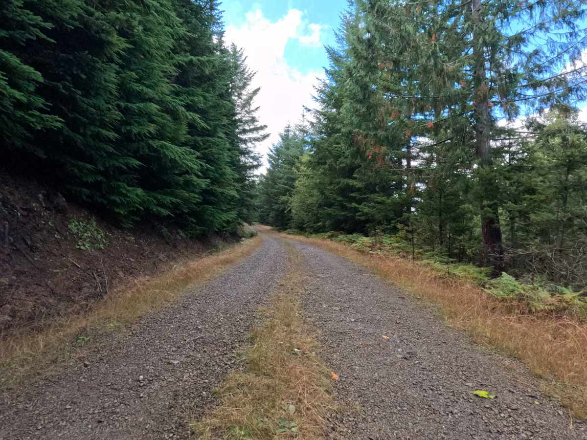
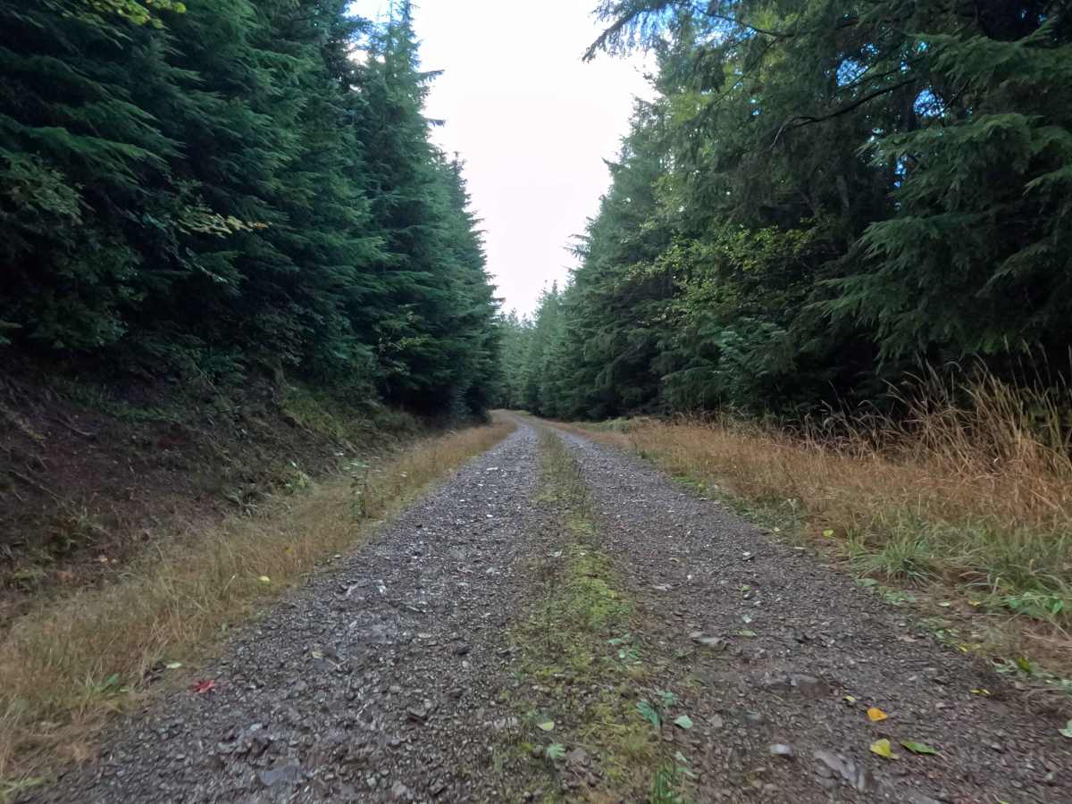
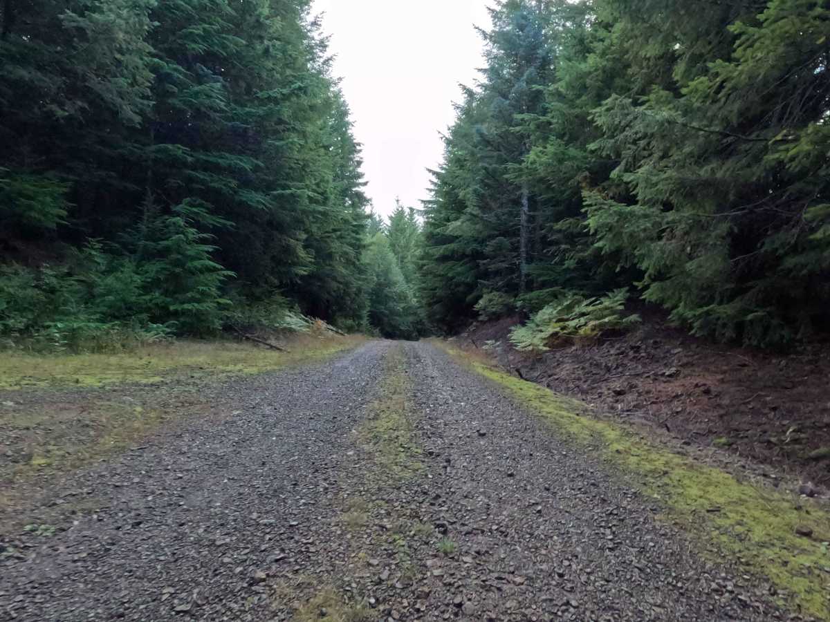
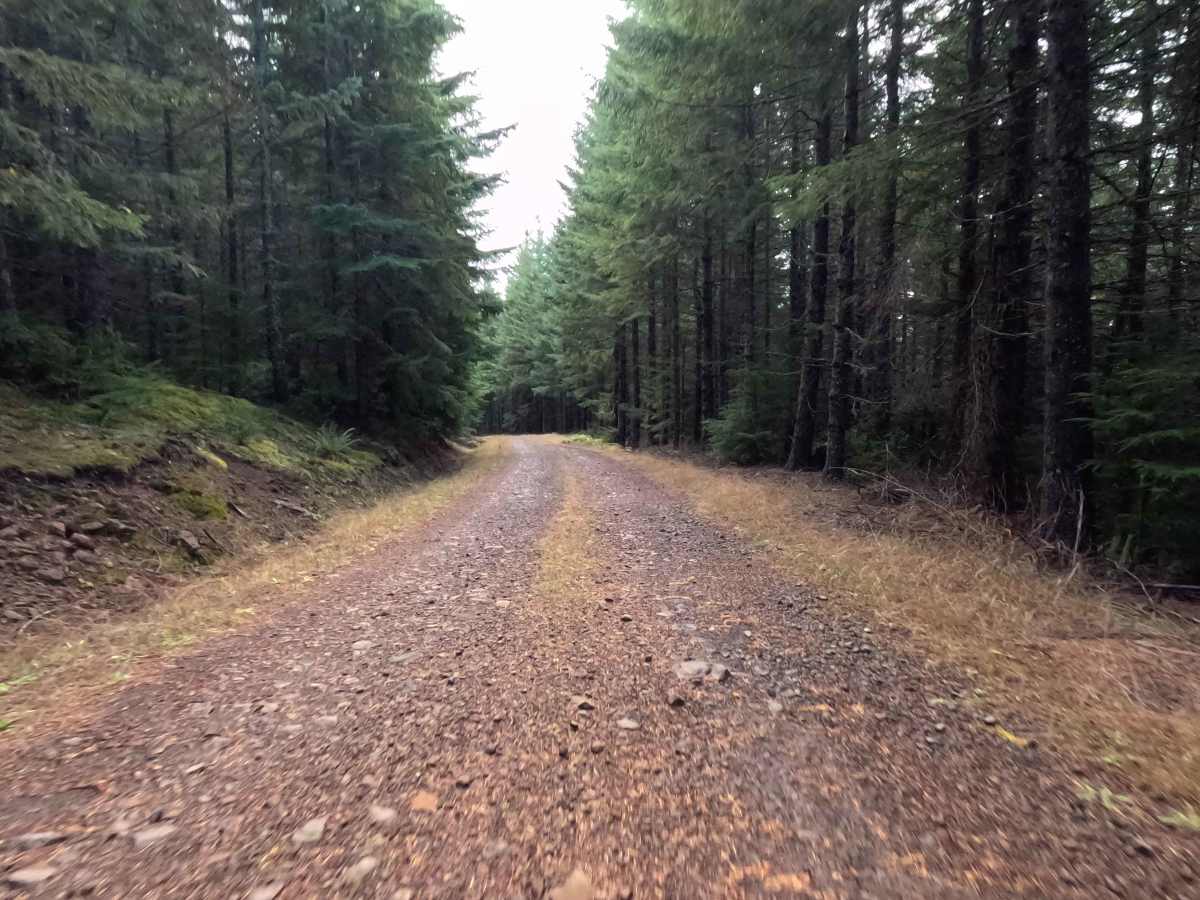
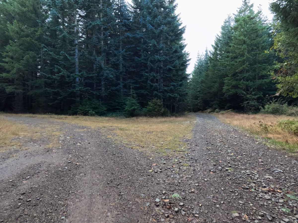
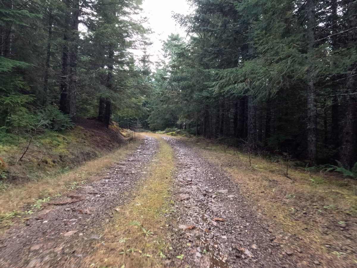
N-6675 serves as a quiet, little-used out-and-back forest spur. The surrounding landscape features a classic, densely timbered Pacific Northwest woodland, dominated by mature evergreens that cast cooling shadows across the secluded pathway. Outdoor recreationists and weekend overlanders purposefully navigate this peaceful, ascending corridor to reach a highly isolated, elevated perch sitting just under 3,000 feet. The driving surface consists of a gravel two-track foundation that commands a moderate Grade 2 difficulty rating due to its chunky stone composition. As the climb progresses, the road visually narrows, with tall, vibrant grass growing freely down the center median, giving the route a rustic and forgotten atmosphere. The journey officially concludes at a dead-end clearing that doubles as a prime dispersed campsite. This quiet terminus offers enough level ground to comfortably accommodate two or three camping setups, making it an excellent staging area for those seeking absolute wilderness isolation.
Difficulty
Assigned a moderate Grade 2 difficulty rating, this ascending gravel spur offers a structurally stable but consistently bumpy driving experience. Severe off-road hazards such as deep mud bogs, intimidating boulder crawls, or treacherous shelf drop-offs are completely absent from the shaded climb. The primary terrain consideration is simply managing the persistent layer of rough, chunky gravel that coats the unpaved roadbed, alongside occasional shallow water puddles. Navigating this unrefined foundation requires a steady, controlled cruising speed to preserve passenger comfort and ensure reliable traction on the uphill grade. Standard factory ground clearance is more than adequate to straddle the grassy center median, safely clear minor forest debris, and comfortably execute a hassle-free turnaround within the small campsite clearing at the top of the route.

 Offroad