Trail Overview
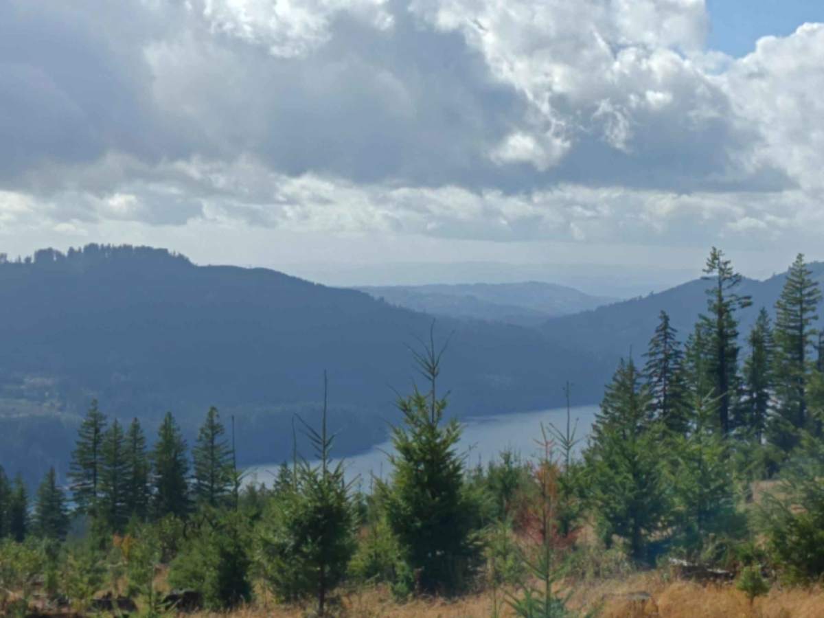
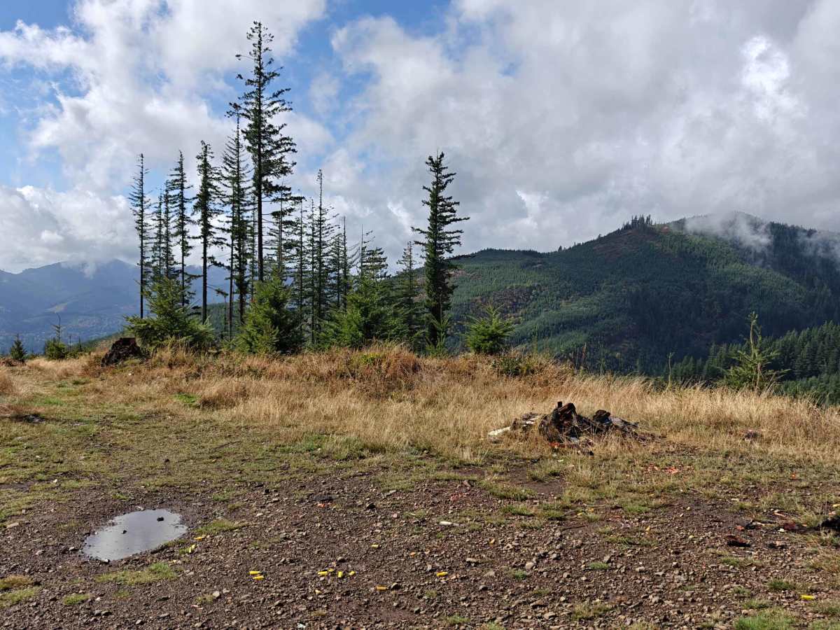
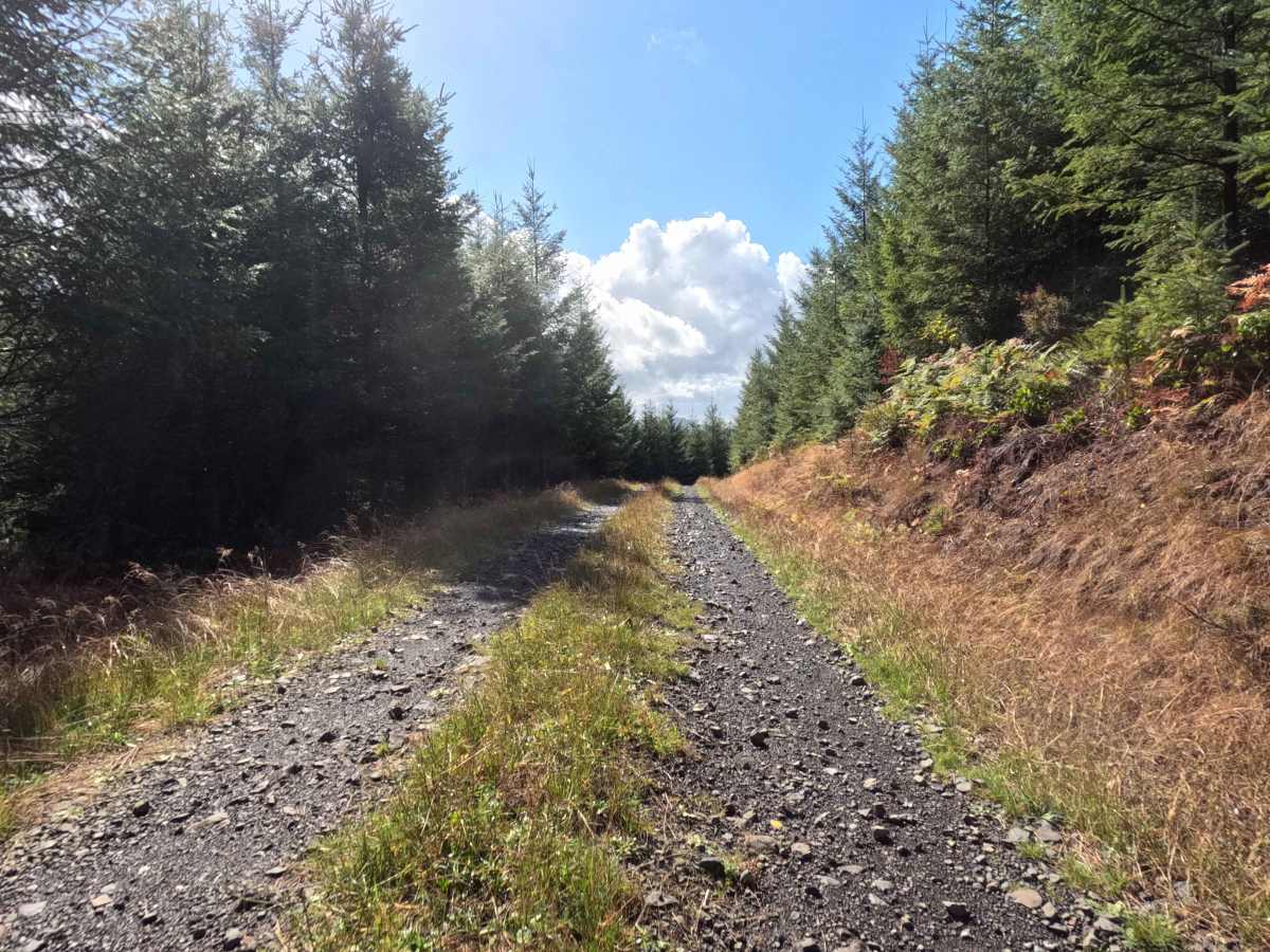
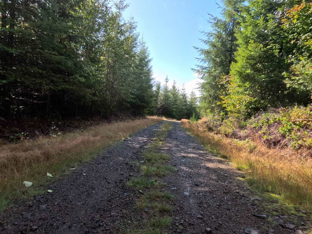
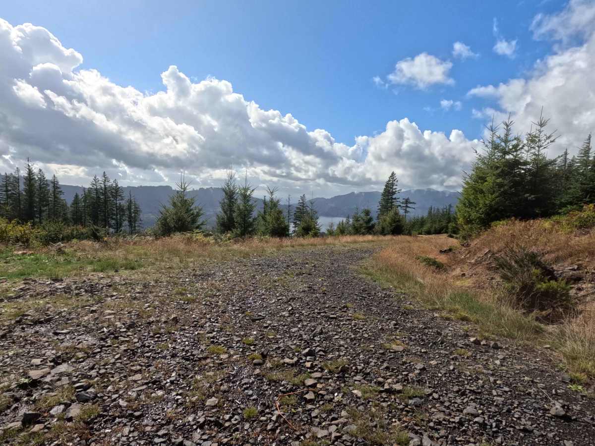
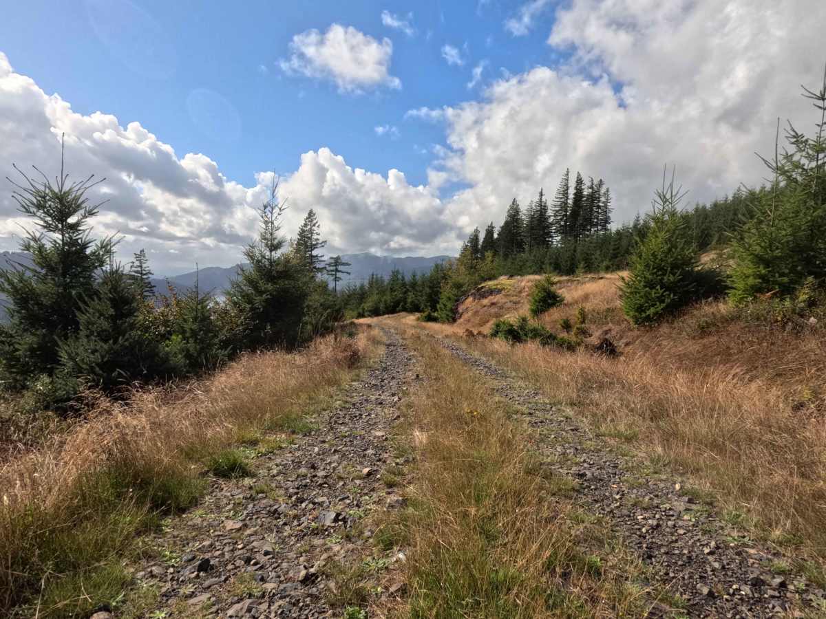
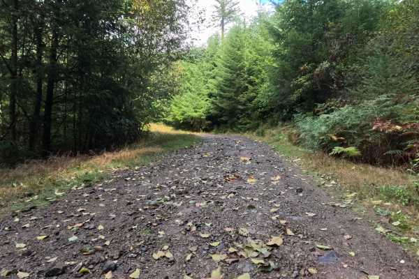
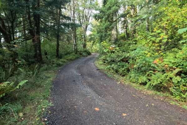
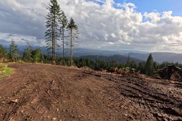
Tucked into the densely timbered hillsides of the region's managed public lands, N-6600A1 operates as a highly rewarding, short out-and-back backcountry spur. The pathway cuts through a vibrant, thick canopy of mature Pacific Northwest evergreens that periodically breaks to reveal stunning natural features. The driving surface consists of a single-lane dirt and rock track that earns a moderate Grade 2 difficulty rating due to its chunky gravel foundation. Outdoor enthusiasts and weekend overlanders purposefully seek out this brief half-mile detour to secure premier dispersed camping locations. Midway down the route, the heavy forest opens up dramatically to a large clearing with room for multiple vehicle camps, offering magnificent, sweeping views down over a serene wilderness reservoir. The corridor ultimately concludes shortly after at an old borrow pit, which serves as a secondary, more intimate campsite with enough level ground to accommodate a couple of setups before visitors must turn around and retrace their path.
Difficulty
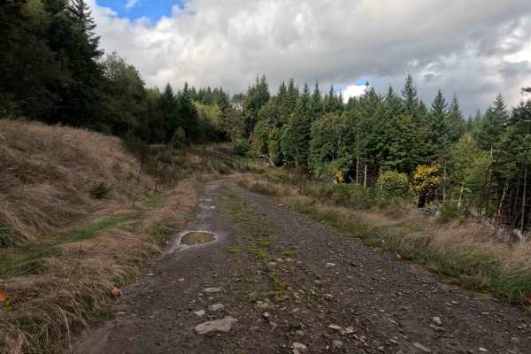
Assigned a moderate Grade 2 difficulty rating, this brief woodland spur provides a structurally sound but consistently bumpy driving experience. Severe off-road hazards like deep mud bogs, intimidating rock crawls, or treacherous washouts are completely absent from the scenic route. The primary terrain consideration is managing the persistent layer of rough, chunky rock that heavily coats the unpaved roadbed. Navigating this unrefined stone foundation requires a slow, deliberate cruising speed to preserve passenger comfort and ensure reliable traction. Standard factory ground clearance is fully sufficient to safely roll over the loose rock, access the stunning reservoir viewpoint, and comfortably execute a turnaround at the dead-end borrow pit.

 Offroad