Trail Overview
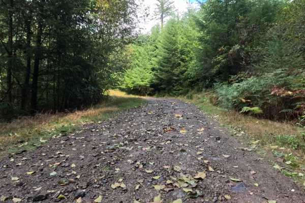
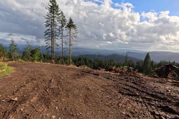
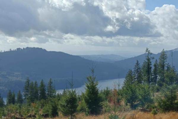
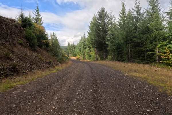
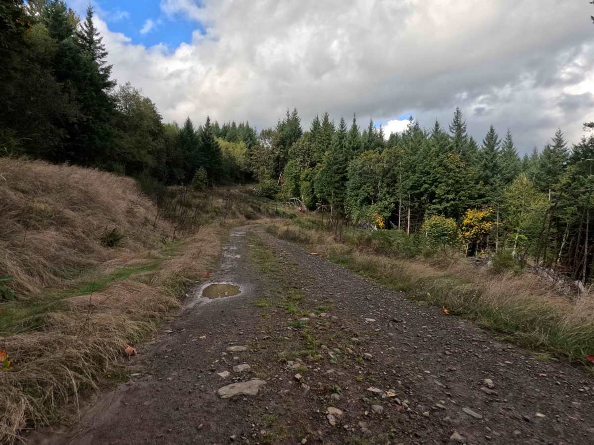
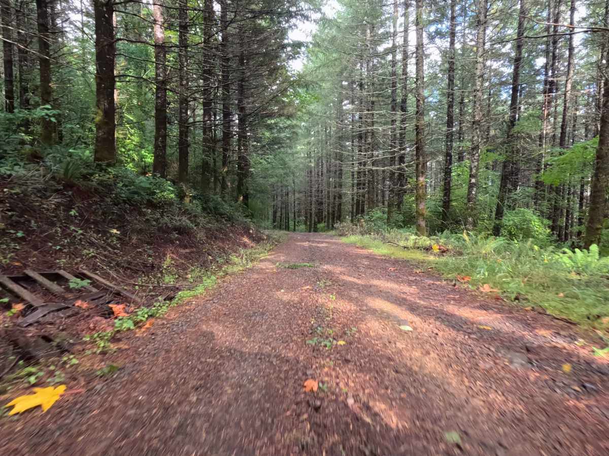
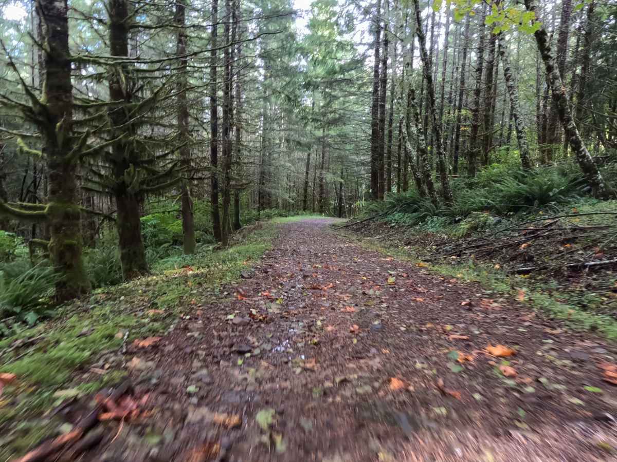
Branching off the primary forestry network, N-6601A functions as a highly scenic, out-and-back backcountry spur tucked within the Gifford Pinchot National Forest. The route descends through a vibrant, densely timbered environment where towering evergreens and mixed seasonal foliage closely border the rustic track. Outdoor enthusiasts and weekend overlanders specifically travel this brief corridor to access a fantastic, secluded dispersed campsite located exactly at the trail's terminus, which opens up to reveal sweeping regional views of the surrounding wilderness. The driving surface consists of a narrow, single-lane dirt foundation heavily layered with rough, chunky rock, earning a moderate Grade 2 difficulty rating. Grass naturally thrives down the center median, giving the pathway a quiet, lightly traveled atmosphere. The descent is generally straightforward, rewarding visitors with a spacious, flat clearing at the dead-end to easily set up a basecamp or reverse course.
Difficulty
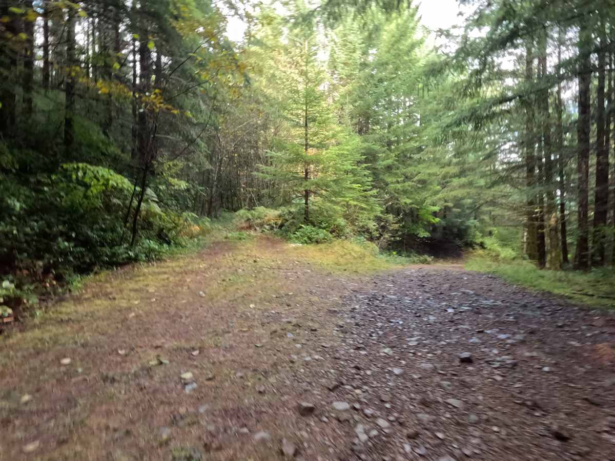
Carrying a moderate Grade 2 difficulty rating, this descending forest spur provides a structurally sound but consistently bumpy driving experience from top to bottom. Extreme off-road hazards—such as deep mud bogs, intimidating boulder fields, or treacherous shelf drop-offs—are completely absent from the shaded route. Instead, the primary terrain challenge is the persistent layer of rough, unrefined surface rock that blankets the roadbed. Navigating this stony, uneven foundation requires a measured and patient cruising speed to preserve passenger comfort and protect tires from sharp impacts. Standard factory ground clearance is more than adequate to clear the grassy center median, safely roll over the scattered chunky rocks, and confidently execute a turnaround within the expansive campsite clearing at the end of the line.



 Offroad