Trail Overview
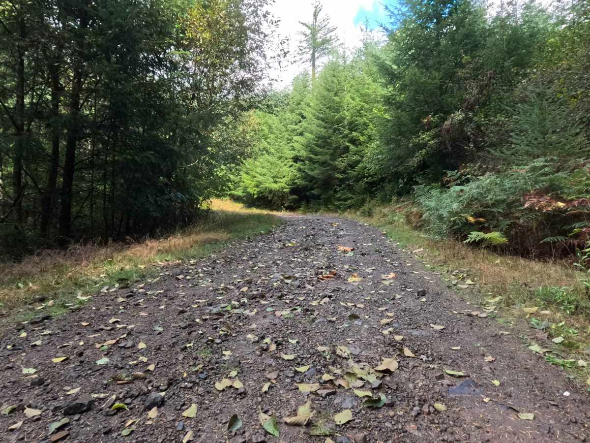
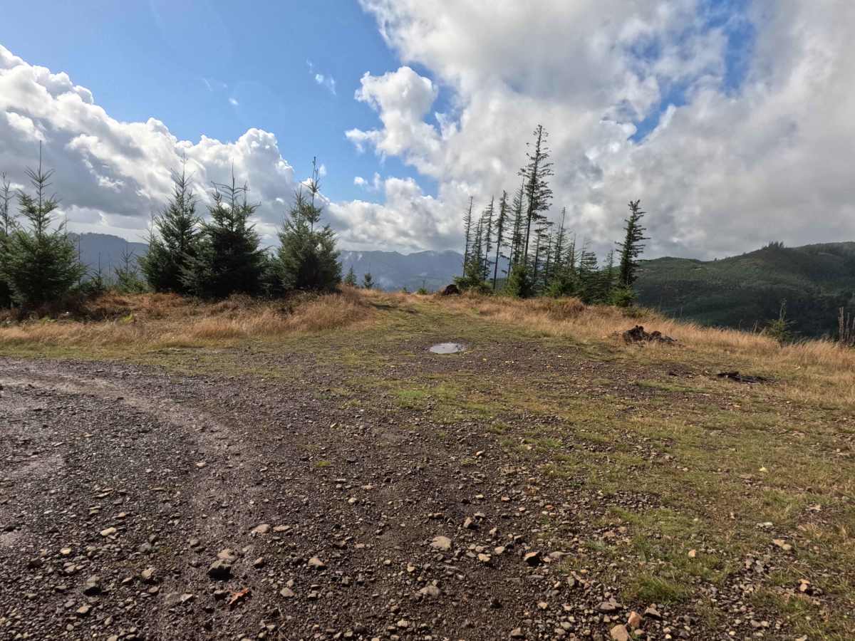
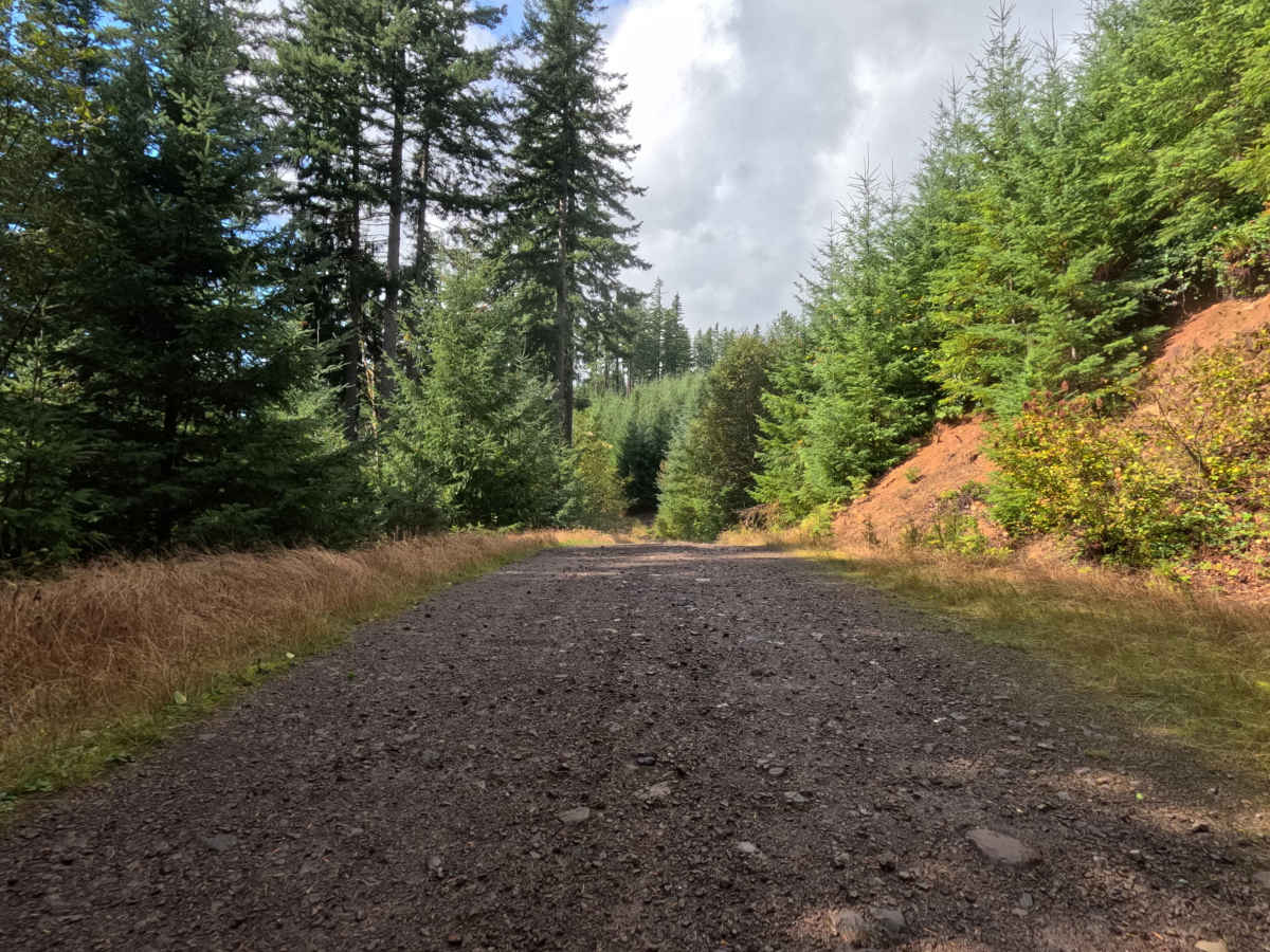
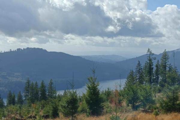
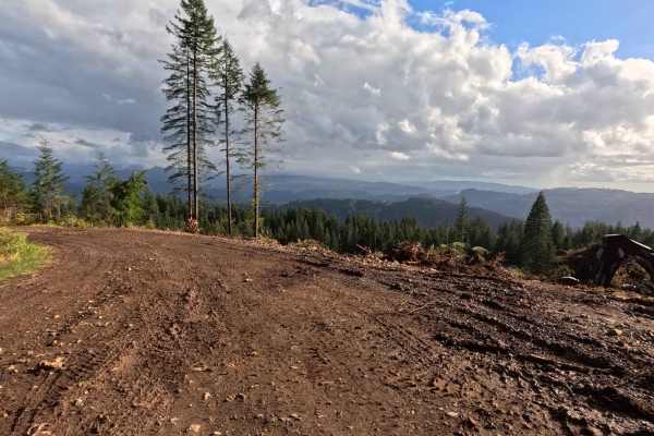
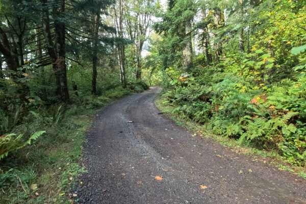
N-6600A operates as a scenic out-and-back backcountry spur tucked into the densely timbered hillsides of the Gifford Pinchot National Forest. The surrounding environment features a vibrant, heavily shaded Pacific Northwest canopy of mature evergreens that periodically breaks to reveal breathtaking regional vantage points. Outdoor enthusiasts and weekend overlanders purposefully tackle this climbing route to claim one of two premier dispersed campsites. Midway up the ascent, a spacious clearing provides magnificent, sweeping views down over a serene wilderness reservoir, while the trail's terminus offers another secluded camp boasting expansive regional sightlines. The driving surface consists of a narrow, single-lane dirt track heavily armored with rough, chunky rock, earning a moderate Grade 2 difficulty rating. The public journey eventually dead-ends at the upper campsite, providing just enough level ground for visitors to set up a basecamp or carefully reverse course back down the steep grade.
Difficulty
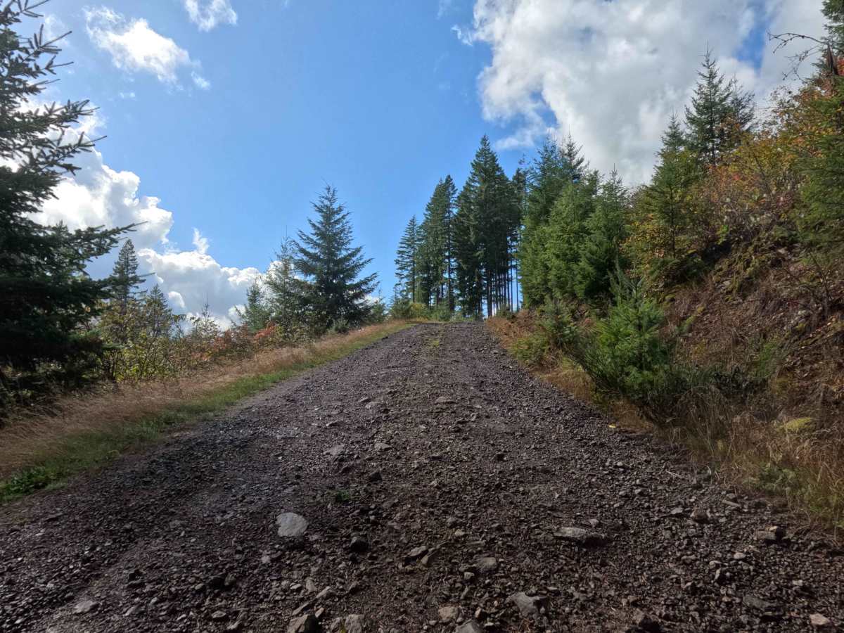
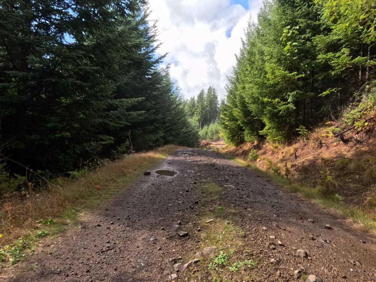
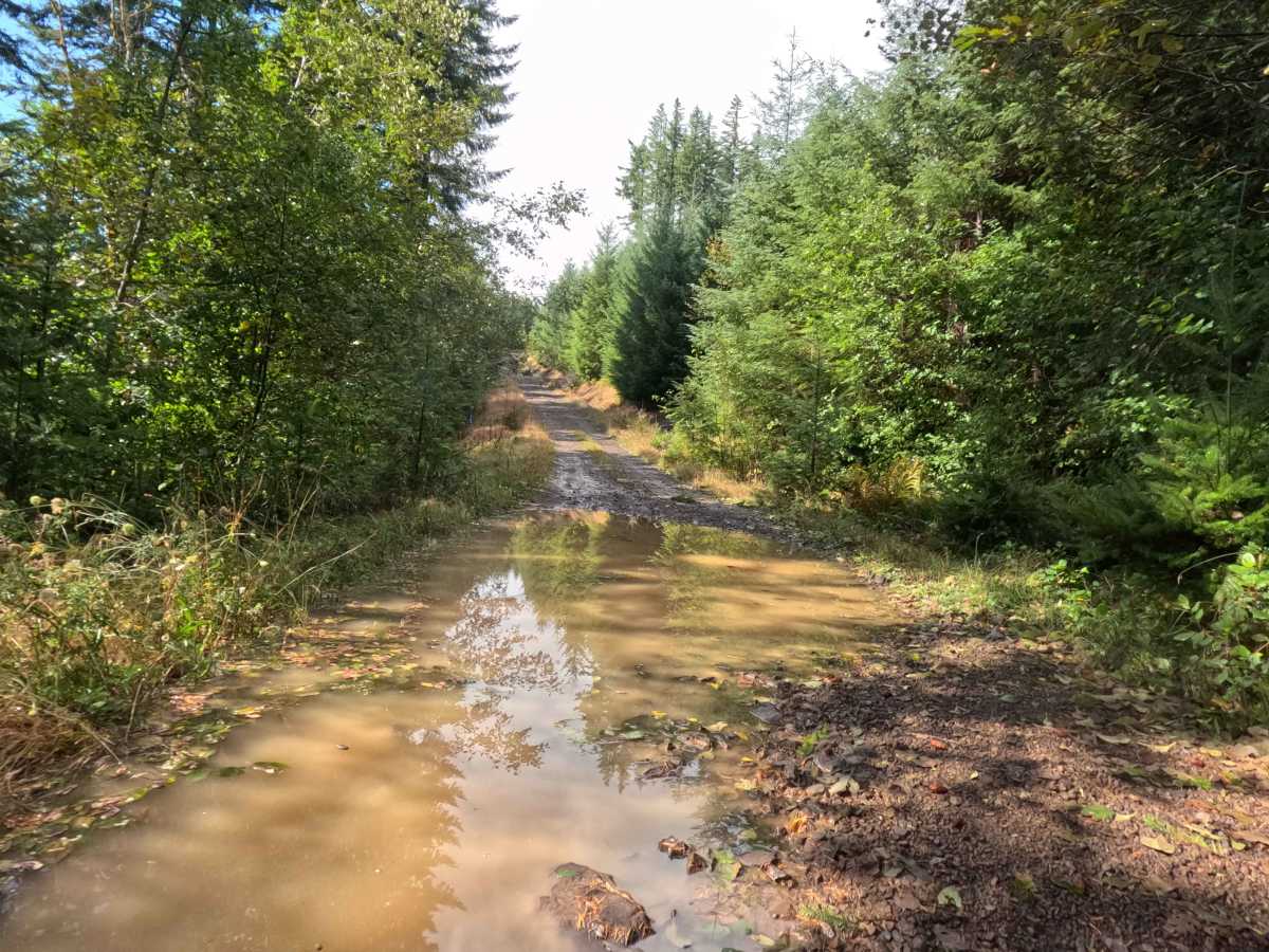
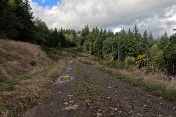
this ascending single-lane track provides a structurally stable but consistently bumpy and occasionally steep driving experience. Severe off-road hazards—such as impassable mud pits, intimidating boulder crawls, or treacherous shelf drop-offs—are completely absent from the scenic climb. The primary terrain challenges are navigating intermittent steep pitches and managing the persistent layer of chunky, unrefined rock that heavily coats the roadbed. Conquering this rough stone foundation requires a slow, deliberate crawling speed to preserve passenger comfort and maintain reliable traction on the uphill inclines. Standard factory ground clearance is fully sufficient to safely roll over the loose rock, navigate the occasional shallow puddle, and confidently execute a safe turnaround at either of the elevated campsites.

 Offroad