
Dirt Bike Trails
Near Rye, Arizona
Explore All Dirt Bike Trails Near Rye, Arizona
Dirt Bike Trails Near Rye, Arizona
Discover the best dirt bike trails near you. Browse trail maps, check difficulty ratings, and find your next adventure — whether you're looking for a quick ride or an all-day expedition.
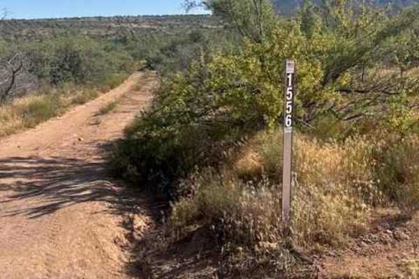
FS 1556
FS 1556 starts off Trail 442 and quickly narrows into a tighter two-track with possible pinstriping from overgrown vegetation. This trail is not recommended in wet conditions, as past storms have created deep ruts and erosion throughout the route.
As the trail approaches the wash crossing, larger ro...
Learn more about FS 1556
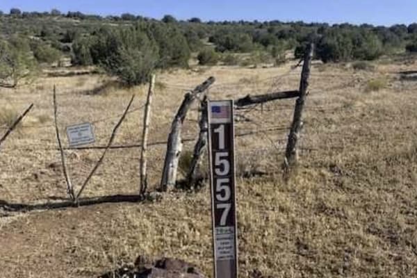
FS 1557
FS 1557 begins through a gated entrance off FS 1556. Please leave all gates as you found them unless posted to keep closed.
This is an out-and-back trail with a very natural and narrow feel. Seasonal grass and ground cover can produce heavy sticker burs once dried out, so use caution if traveling w...
Learn more about FS 1557
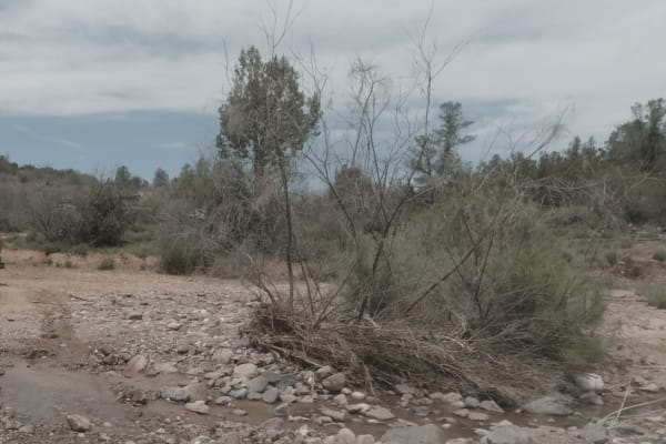
Rye, Alder, and Cypress
This dusty, windy two track serves as a great off-road bypass into the Town of Payson. Low lying shrubs and cactus give way to pines as you gain in elevation and traverse the many creeks that bisect this trail. This area is best traveled during drier months to avoid swollen water crossings.
Learn more about Rye, Alder, and Cypress
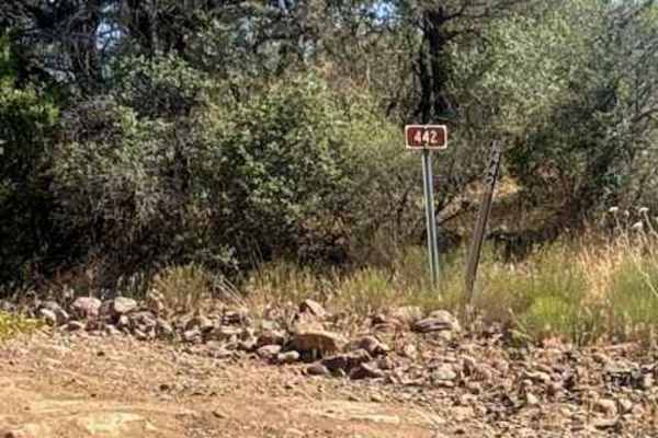
Rock Creek - FS 442
Trail 442 (Rock Creek Road) begins off Trail 414 / Rye Cypress Road and is primarily an out-and-back route, although it does connect to several other spur trails throughout the area.
The trail starts as a rocky gravel two-track winding through classic central Arizona high desert terrain filled with ...
Learn more about Rock Creek - FS 442
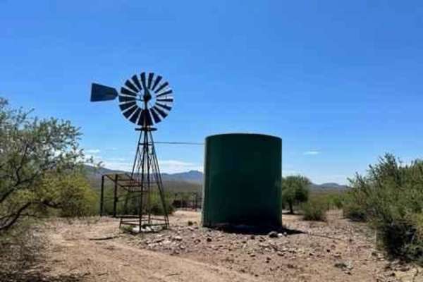
FR 167
Starting from the north side, you will climb a ridge and then drop down a rutted descent, into and across a rocky wash, and back up the other side. As you reach the backside, this is where you can start to make out Lake Roosevelt in the distance, as well as Mt. Ord to the south. You will ride this r...
Learn more about FR 167
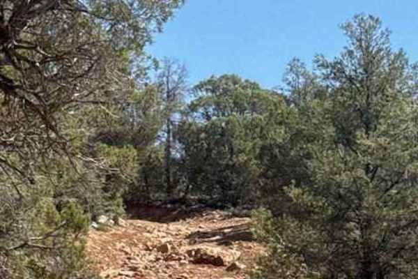
67 White Mountain Road
Trail 67 begins off Trail 406 / Doll Baby Road with several dispersed campsites and staging areas near the entrance. This is a rugged point-to-point trail that quickly transitions from a rough dirt and gravel road into a consistently technical backcountry route requiring high-clearance 4x4 capabili...
Learn more about 67 White Mountain Road
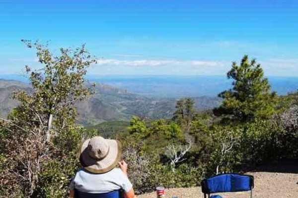
Mount Ord
Mount Ord is almost 7,000 feet in elevation, so it is a nice place to be in hot weather, but not so good after a cold winter storm. This trip is an enjoyable way to spend a short day out in the brush--a fairly easy trail with great scenery. It can be done in any direction. Doing it from the north ge...
Learn more about Mount Ord
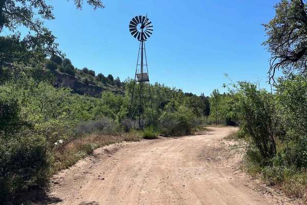
East Verde River
This is a scenic route suitable for any stock 4x4. There are no obstacles to tackle on this one, there are a few creek crossings that could be deeper depending on the time of year. Most of the trail is up along a ridgeline with sprawling views of the Mazatzal Mountains to the West and some roaming c...
Learn more about East Verde River
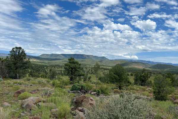
Crackerjack Mesa- FS 209
This track starts by crossing the East Verde River. Use caution when crossing even though there is a concrete pad at the crossing, currents can become dangerous after summer monsoon storms and spring snowmelt making this trail inaccessible. Travel is not advised during winter months as snow will obs...
Learn more about Crackerjack Mesa- FS 209
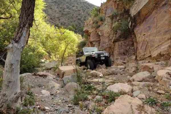
Sunflower Mine
Take a fairly difficult Jeep trail to an abandoned mercury mine in the rugged Mazatal Mountains between Mesa and Payson. The section below the mine is somewhat easier than above the mine. We prefer to run in a clockwise direction, although it is possible to go either way. It works better if all gr...
Learn more about Sunflower Mine
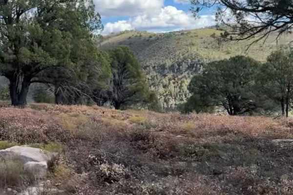
Flowing Springs MT-74
A rocky climb up decomposed red rock with stunning views of the Mogollon Rim. Best traveled in Fall or Spring due to a few creeks that run through the area. This route is best suited to high clearance vehicles and is not stock height friendly. A great half-day drive that will build skills in navigat...
Learn more about Flowing Springs MT-74
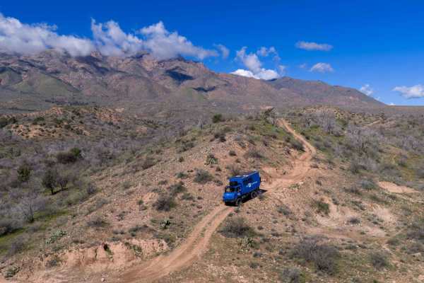
FS 197
This tight, pinchy trail starts off narrow with brush crowding the sides, so expect some paint pin striping and be sure to close the gate behind you. Early on, there is a steep drop into a wash followed by a narrow climb up the hill that includes one short shelf section and a few small washouts that...
Learn more about FS 197
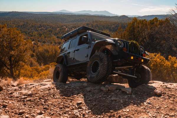
Rocker Knocker
This thrilling trail in Payson, Arizona, takes you through a beautiful, pine tree-lined landscape with breathtaking views of the iconic Mogollon Rim. Designed for adventurous spirits, the route features rugged terrain and challenging obstacles that demand a high-clearance 4x4 vehicle. Along the way,...
Learn more about Rocker Knocker
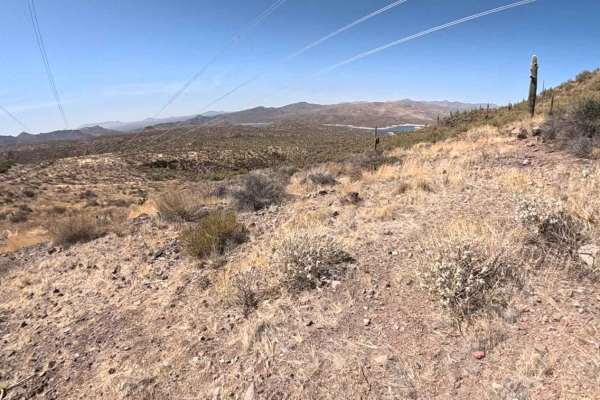
Verde Sunflower
Get ready for an epic adventure on the Verde Sunflower Trail! This trail takes you through the stunning Tonto National Forest on Forest Road 393 and loops into the southern end of the Mazatzal Wilderness. No permit is needed - just bring your sense of adventure! The 14-mile trail follows 500 kV tran...
Learn more about Verde Sunflower
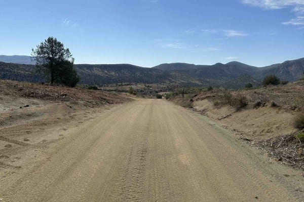
Greenback
Greenback Road is an easy dirt route winding through high desert terrain with sweeping views of surrounding hills and plateaus. The surface is well-maintained and mostly flat, making it accessible for most 4WD and high-clearance 2WD vehicles. While the road is generally wide enough for two vehicles ...
Learn more about Greenback
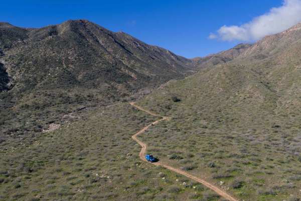
Reno Pass - FS 524
This trail starts out easy and graded as you head toward the transfer station (green waste disposal site), making for a smooth warm-up. After that, conditions change quickly with washed-out, rutted sections that require careful tire placement. As you climb the switchbacks up the cliff, the road beco...
Learn more about Reno Pass - FS 524
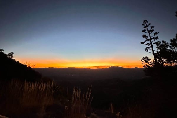
Tow Strap
This trail is relatively easy in a stock truck. It is a steep incline of 2.5 miles. Closer to the top, the trail has a couple of tight technical turns. Once you reach the top of the mountain, it is a sweet easy trail. This route will take you to an old cowboy camp; its earliest date is 1972. If you'...
Learn more about Tow Strap
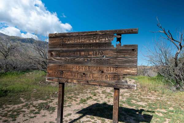
Fort Reno 409
The trail begins as an open, level dirt road that is generally smooth and easy to navigate. There are quite a few easy-to-access dispersed camping spots along the way. As you get closer to the historic Camp Reno site, the road drops into a lower elevation where it becomes rockier, and the trees tigh...
Learn more about Fort Reno 409
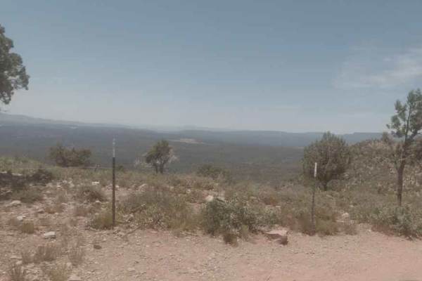
Diamond Point Lookout
This long, dusty trail cuts through the ponderosa pines and junipers common in the shadow of the Mogollon Rim. The main road is well graded and free of obstacles. There are several offshoots if you are looking for a minor challenge. As this trail lowers in elevation, you'll come to Diamond Point Loo...
Learn more about Diamond Point Lookout
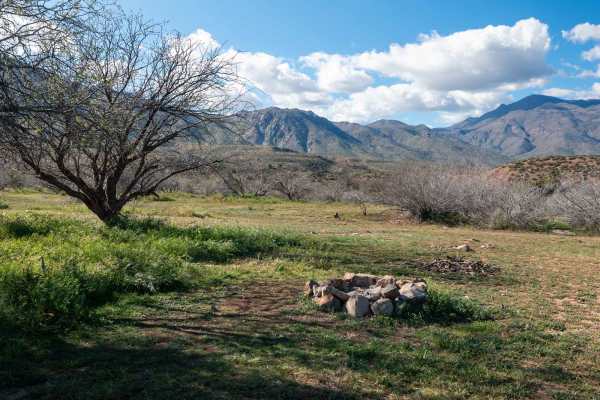
FS 259
This two-track winds through open desert landscape as you head back toward the Mazatzal Mountains, offering wide open views of the surrounding ranges and the canyons that cut back into the mountains. The route follows along the edge of a gentle ridge with washes on both sides. The road is a little b...
Learn more about FS 259
ATV trails near Rye, Arizona
Explore ATV-friendly trails near you. These trails are accessible for vehicles up to 50 inches wide, perfect for ATVs and smaller off-road machines.
FS 1556
FS 1556 starts off Trail 442 and quickly narrows into a tighter two-track with possible pinstriping from overgrown vegetation. This trail is not recommended in wet conditions, as past storms have created deep ruts and erosion throughout the route.
As the trail approaches the wash crossing, larger ro...
Learn more about FS 1556
FS 1557
FS 1557 begins through a gated entrance off FS 1556. Please leave all gates as you found them unless posted to keep closed.
This is an out-and-back trail with a very natural and narrow feel. Seasonal grass and ground cover can produce heavy sticker burs once dried out, so use caution if traveling w...
Learn more about FS 1557
Rye, Alder, and Cypress
This dusty, windy two track serves as a great off-road bypass into the Town of Payson. Low lying shrubs and cactus give way to pines as you gain in elevation and traverse the many creeks that bisect this trail. This area is best traveled during drier months to avoid swollen water crossings.
Learn more about Rye, Alder, and Cypress
Rock Creek - FS 442
Trail 442 (Rock Creek Road) begins off Trail 414 / Rye Cypress Road and is primarily an out-and-back route, although it does connect to several other spur trails throughout the area.
The trail starts as a rocky gravel two-track winding through classic central Arizona high desert terrain filled with ...
Learn more about Rock Creek - FS 442
UTV/side-by-side trails near Rye, Arizona
Find UTV and side-by-side trails near you. These trails accommodate vehicles up to 60 inches wide, ideal for UTVs, side-by-sides, and wider off-road rigs.
FS 1556
FS 1556 starts off Trail 442 and quickly narrows into a tighter two-track with possible pinstriping from overgrown vegetation. This trail is not recommended in wet conditions, as past storms have created deep ruts and erosion throughout the route.
As the trail approaches the wash crossing, larger ro...
Learn more about FS 1556
FS 1557
FS 1557 begins through a gated entrance off FS 1556. Please leave all gates as you found them unless posted to keep closed.
This is an out-and-back trail with a very natural and narrow feel. Seasonal grass and ground cover can produce heavy sticker burs once dried out, so use caution if traveling w...
Learn more about FS 1557
Rye, Alder, and Cypress
This dusty, windy two track serves as a great off-road bypass into the Town of Payson. Low lying shrubs and cactus give way to pines as you gain in elevation and traverse the many creeks that bisect this trail. This area is best traveled during drier months to avoid swollen water crossings.
Learn more about Rye, Alder, and Cypress
Rock Creek - FS 442
Trail 442 (Rock Creek Road) begins off Trail 414 / Rye Cypress Road and is primarily an out-and-back route, although it does connect to several other spur trails throughout the area.
The trail starts as a rocky gravel two-track winding through classic central Arizona high desert terrain filled with ...
Learn more about Rock Creek - FS 442
The onX Offroad Difference
onX Offroad combines trail photos, descriptions, difficulty ratings, width restrictions, seasonality, and more in a user-friendly interface. Available on all devices, with offline access and full compatibility with CarPlay and Android Auto. Discover what you're missing today!
Open Trail Map