Trail Overview
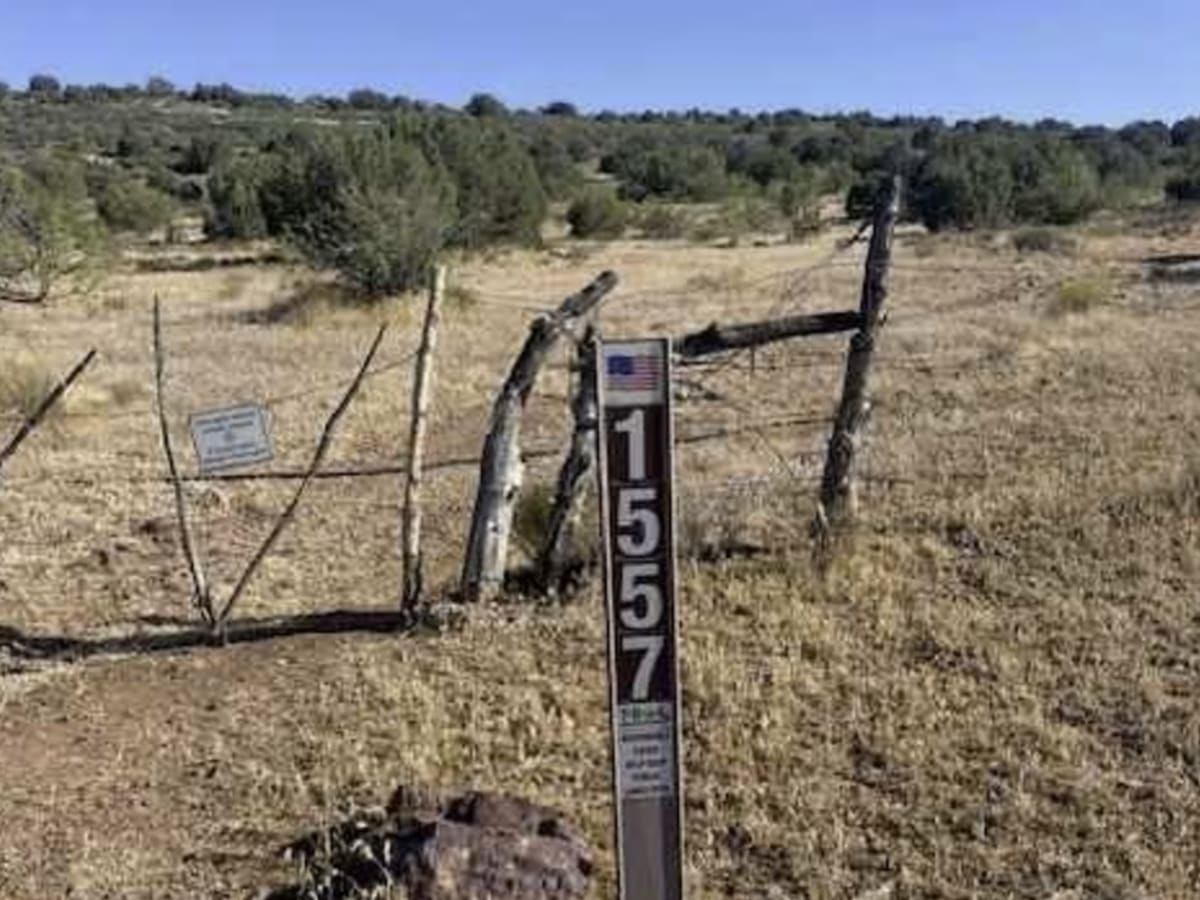
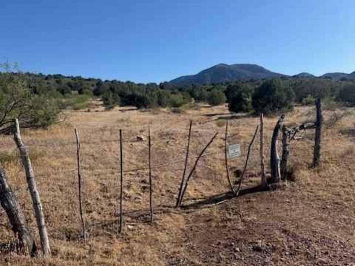
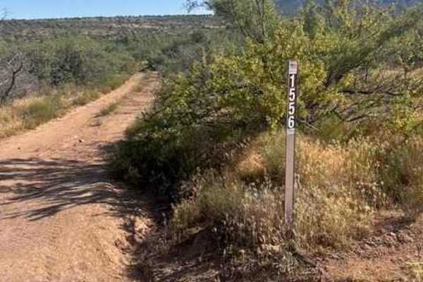
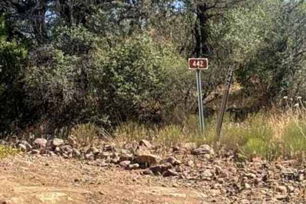
FS 1557 begins through a gated entrance off FS 1556. Please leave all gates as you found them unless posted to keep closed.
This is an out-and-back trail with a very natural and narrow feel. Seasonal grass and ground cover can produce heavy sticker burs once dried out, so use caution if traveling with trail dogs.
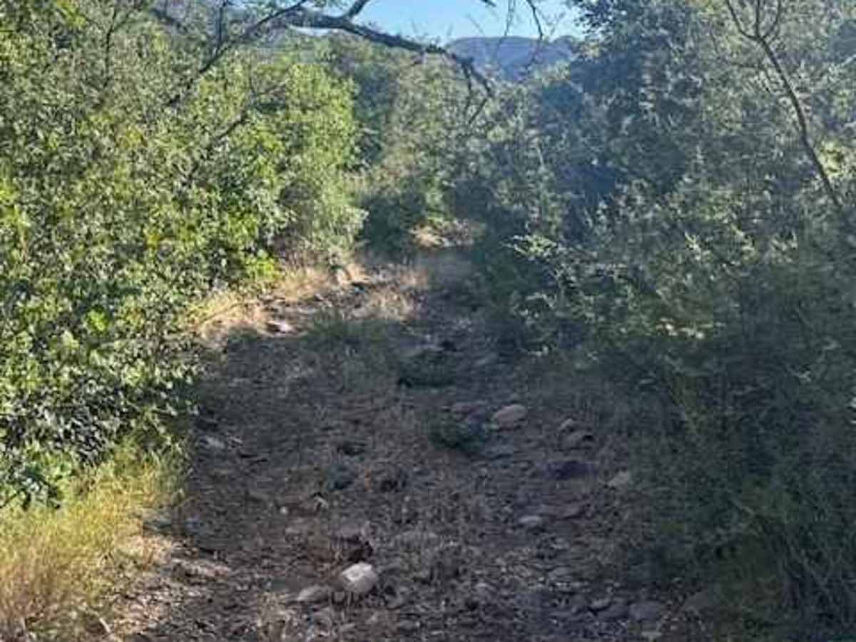
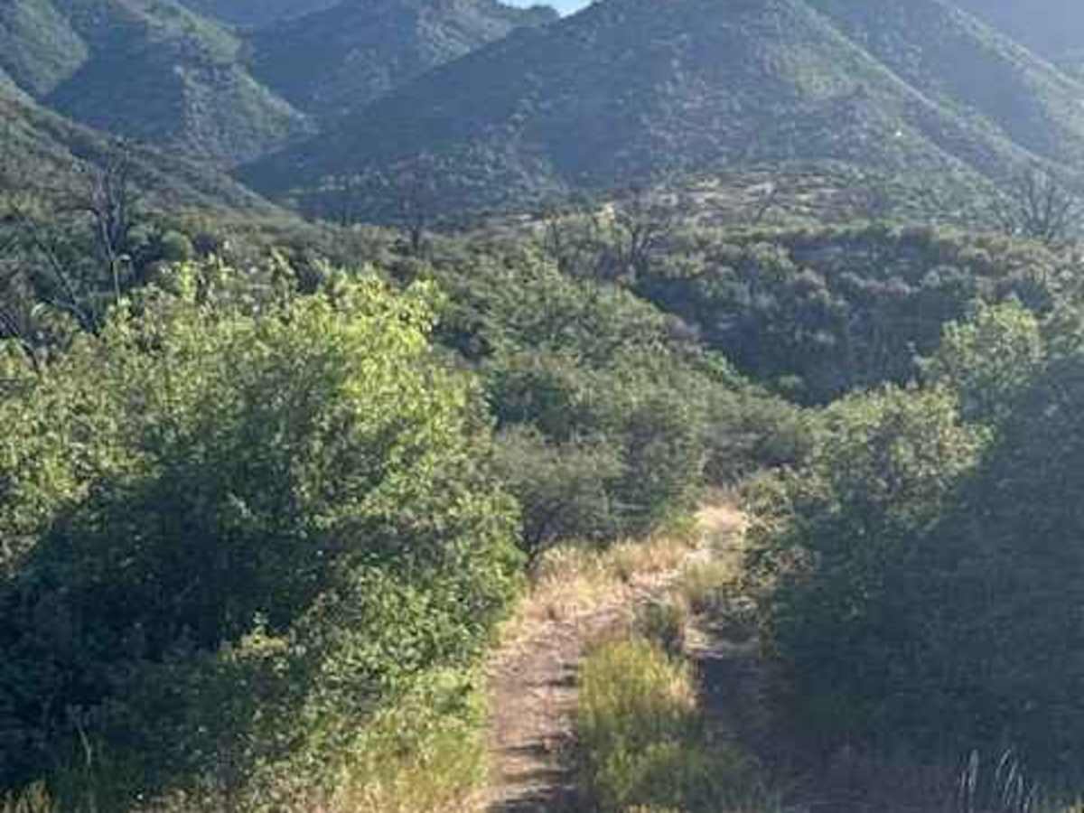
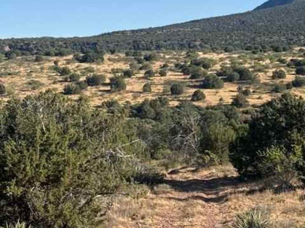
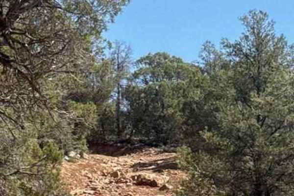
The trail starts with a gentle climb over a bumpy surface scattered with 6-inch rocks. Several tight tree sections make pinstriping likely, especially for wider vehicles. As elevation increases, rock sizes grow larger, and the views begin opening up toward the valley below and the Mazatzal Mountain range above.
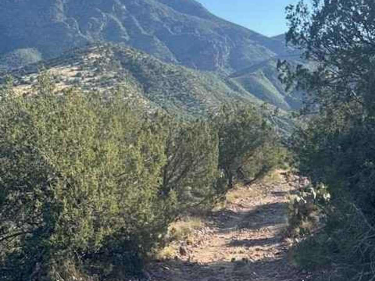
After reaching the top, the trail descends along a narrower, shelf-road style section with lighter bumps but more overgrown vegetation. The route eventually drops into a scenic campsite area offering excellent mountain views and great sunset scenery.
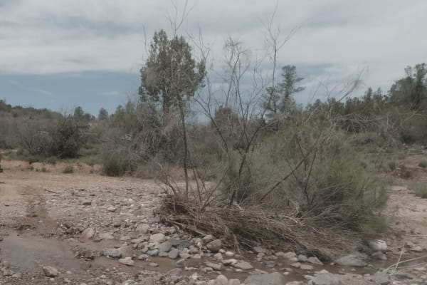
Beyond the campsite, the trail becomes heavily overgrown with significant pinstriping as it winds toward a creek crossing. A dead tree sits very close to the crossing and may limit maneuvering room.
Expect heavy brush contact beyond the creek crossing, especially for vehicles with rooftop tents, awnings, or wider body setups. Access to the half moon Hiking and horseback trail crosses the end of this trail.
Difficulty
Rocky, bumpy pinstripes overgrown, Hill Climb up and down. 4WD necessary. High clearance. Impassable in bad weather