
Dirt Bike Trails
Near Rincon Valley, Arizona
Explore All Dirt Bike Trails Near Rincon Valley, Arizona
Dirt Bike Trails Near Rincon Valley, Arizona
Discover the best dirt bike trails near you. Browse trail maps, check difficulty ratings, and find your next adventure — whether you're looking for a quick ride or an all-day expedition.
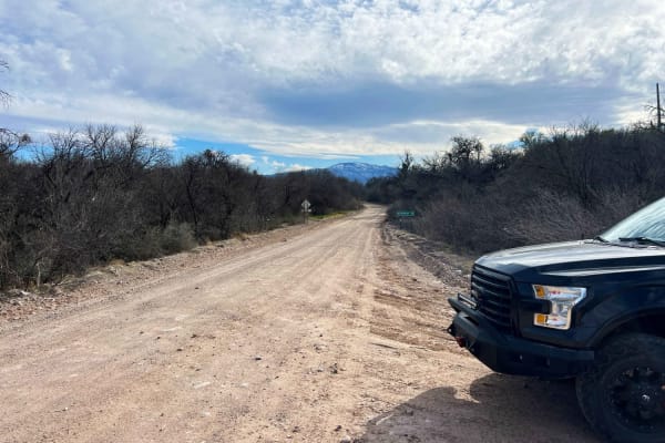
Redington Pass
Redington Pass is a very popular two-lane road with lots of dispersed camping on the western slope overlooking Tucson. This pass varies in difficulty from deep ruts and washouts with many full washes. Most of the western side can be traversed in a low clearance 2wd with caution but it's not advised....
Learn more about Redington Pass
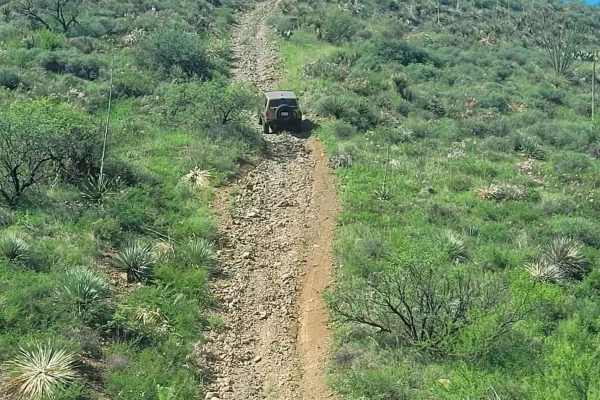
Total Wreck Mine
The Total Wreck Mine Trail is perfect for off-road enthusiasts seeking an exhilarating adventure. The trail features challenging terrain with rocky, rutted, off-camber areas, and steep inclines that will test your skills and your vehicle's capabilities. You can start the trail from the Power Line Tr...
Learn more about Total Wreck Mine
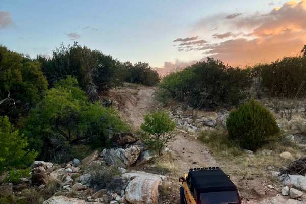
High Road
The High Road is a great route to add to a trip out to Chiva Falls. The trail goes around the falls and crosses the creek that feeds the falls. The trail is mostly a mix of dirt and solid rock with some short climbs or drops depending on direction. It's slow going, bumpy, and rocky, and will need go...
Learn more about High Road
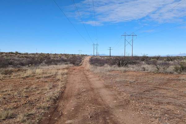
Powerline Road
The Powerline Road is a rugged trail that begins just off of Old Sonoita Highway and runs eastward along I-10 towards the Whetstone Mountains. The Powerline trail is popular with ATVs, dirt bikes, SxSs, and other off-road vehicles. Back-road travel can be hazardous, so be aware of weather and road c...
Learn more about Powerline Road
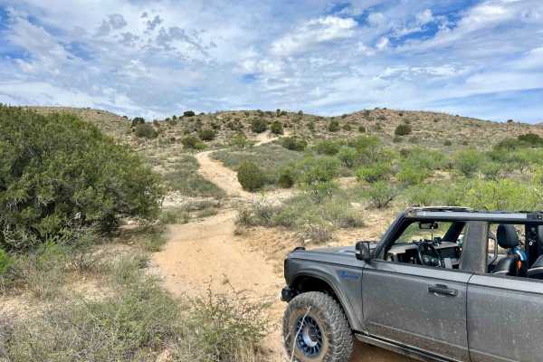
Mesa De La Oso Loop
Mesa de la Osa Trail (Trail #4405) offers a rugged offroad experience for seasoned drivers looking to test their skills northeast of Tucson in the Santa Catalina Ranger District. With its remote desert terrain, rocky ascents, and seasonal wash crossings, it’s a solid pick for those seeking a moderat...
Learn more about Mesa De La Oso Loop
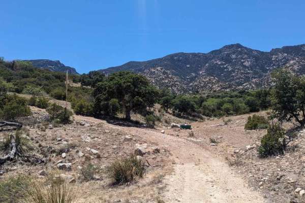
Old Happy Valley Road FR 4406
This route offers amazing scenery and a more challenging alternative to Happy Valley. It used to be the main road to Happy Valley but was bypassed to make the ascent over the pass at Paige Creek smoother. Today, the trail follows the powerline to the ranches in Miller Flat and Turkey Creek, providin...
Learn more about Old Happy Valley Road FR 4406
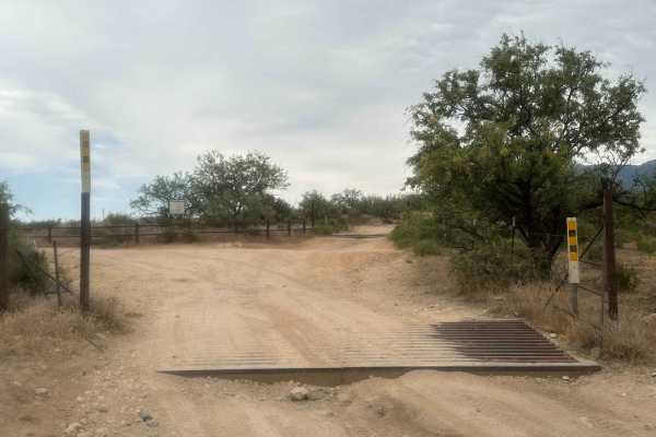
Three Feathers Playground
This route to Chiva Falls, particularly captivating during Tucson's monsoon season, leads to a stunning natural waterfall display. The trail section offers numerous technical challenges, featuring ledges and rocky inclines. The primary obstacle on this path is a steep waterfall descent, characterize...
Learn more about Three Feathers Playground
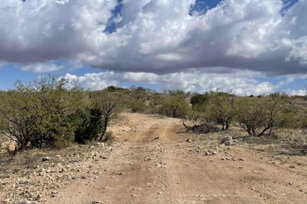
Chiva Loop - Forest Road 4417
This route to Chiva Falls follows the main Chiva Falls Trail (Forest Road 4417), offering a scenic and more approachable way to reach the falls without tackling the notorious Three Feathers obstacle. It's a classic Sonoran desert run with big skies, rocky hills, and sandy washes. Chiva Falls is best...
Learn more about Chiva Loop - Forest Road 4417
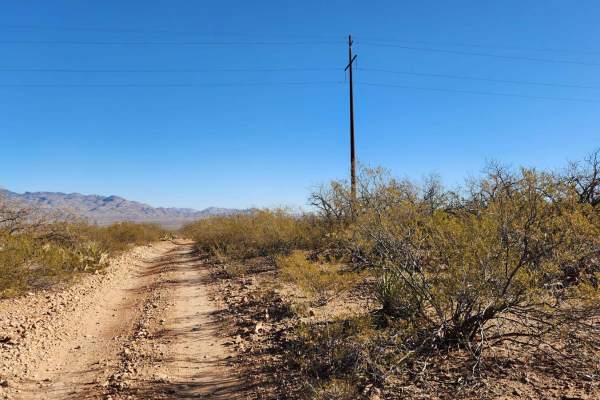
The Narrows
The Narrows is a nice combination of technical terrain and narrow sections;expect to get desert pinstriping. The trail features rutted sections and hill climbs through Cienega Creek. Bring plenty of water and enjoy the ride. Check the weather conditions before heading out, as rain or snow could affe...
Learn more about The Narrows
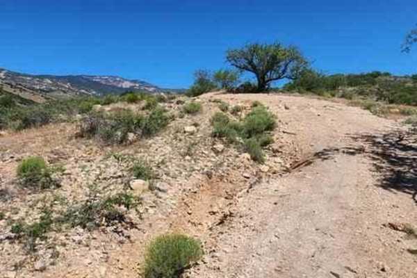
Turkey Creek Springs FR 4408
The Turkey Creek Trail in the Coronado National Forest runs along a ridge that separates Turkey Creek and Mesquite Canyons. This part of the trail is located within the Rincon Mountain Wilderness boundary. The landscape it traverses resembles that of the Saguaro National Park, with abundant saguaros...
Learn more about Turkey Creek Springs FR 4408
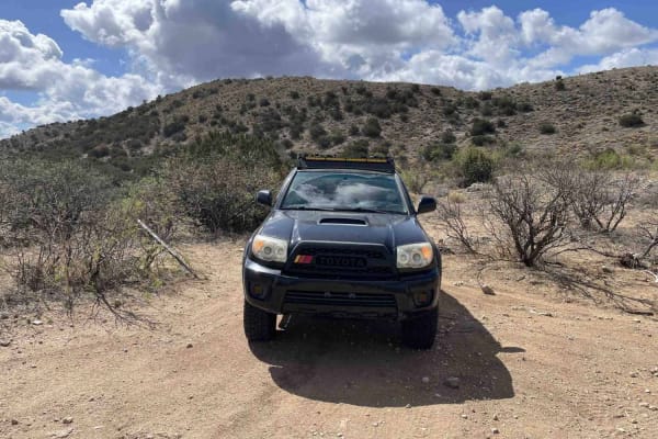
Park Tank Road #4424
Park Tank Road (Forest Road 4424) is a scenic connector weaving between the Chiva Falls Loop and Italian Trap Trail through classic Sonoran Desert terrain. This trail is a mix of sandy stretches, rocky ledges, and shallow wash crossings, making it a great way to link routes into a longer off-road ad...
Learn more about Park Tank Road #4424
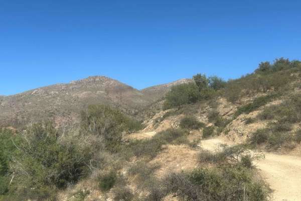
Eagle Peak
This route extends from Happy Valley Road, offering a more challenging experience with uneven turns, ledges, and rocky sections on steep inclines. As you navigate, you'll encounter various obstacles that elevate the difficulty compared to Happy Valley Road. The trail culminates at a locked gate, mar...
Learn more about Eagle Peak
Italian Trap Road #37
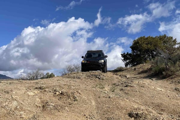
Italian Trap Trail is a rugged Sonoran backcountry route climbing through scenic desert hills northeast of Tucson. This trail is known for its rocky ledges, rutted inclines, and classic Arizona ranch-gate crossings. It's a perfect mix of technical driving, remote scenery, and rolling grassland views...
Learn more about Italian Trap Road #37
Happy Valley FR 35
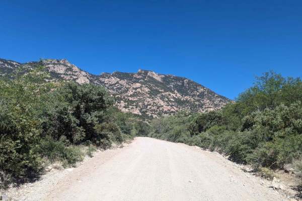
The Happy Valley Road winds past the charming historic movie town of Mescal. It travels through verdant riparian zones and expansive grasslands of the surrounding ranches. Along the way, you can find several idyllic dispersed campsites suitable for travel trailers or smaller RVs, as well as many oth...
Learn more about Happy Valley FR 35
Wakefield Cabin
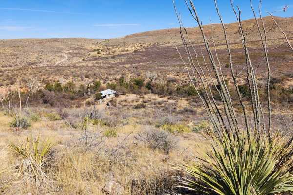
This trail will guide you through historic ranch land. As you descend into a small canyon near the end, you'll spot an abandoned Buddhist cabin on your left.This trail dips into a wash for about a quarter mile. Riders need to closely follow the trail maps, as there's a part where the trail exits the...
Learn more about Wakefield Cabin
Lower Wakefield Canyon
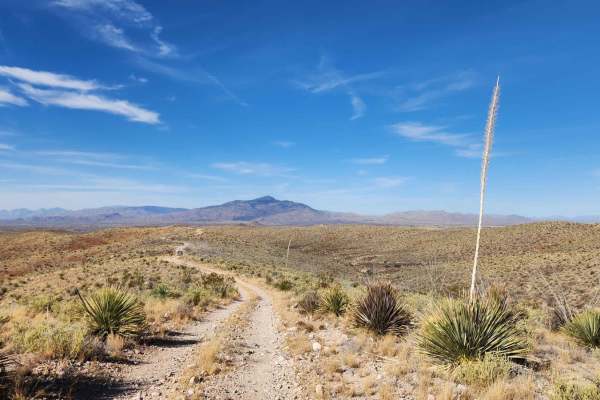
This trail follows ridge lines, offering stunning views of the sprawling desert landscapes below. This trail's many sections are overgrown, making pinstriping nearly inevitable, particularly for larger vehicles. Just a wa ning if you plan on taking a bigger rig. Cell service in this area can be unr...
Learn more about Lower Wakefield Canyon
Forty Nine Wash Trail
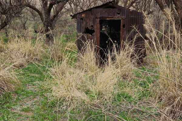
Nestled in Arizona's expanse, a slice of "Big Sky" country unfolds along Cienega Creek. Just 45 miles southeast of Tucson, this landscape boasts wide-open grasslands, panoramic mountain views, and meandering waters that transport you to another realm. Here, cattle still graze amidst a tapestry of pr...
Learn more about Forty Nine Wash Trail
Chimney Rock
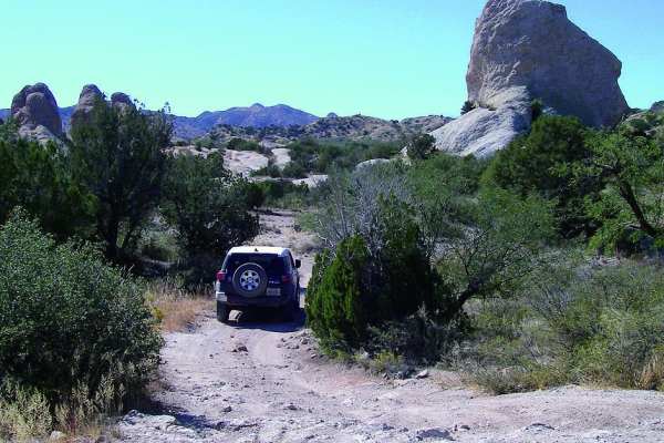
Chimney Rock is an engaging, moderately challenging desert route near Tucson ideal for seasoned offroaders, ATV riders, and SxS enthusiasts looking for a mix of technical obstacles and scenic terrain. Accessed via Redington Road, this trail features a split difficulty profile, offering an easier ent...
Learn more about Chimney Rock

Alamo Spring
Alamo Spring is a moderately challenging offroad trail in the Coronado National Forest near Tucson, offering high-clearance four-wheel-drive vehicles and SxSs an engaging route through the rugged Santa Catalina Mountains. Winding through the scenic desert landscape east of Tucson near Redington Pass...
Learn more about Alamo Spring
Oak Tree Wash Trail
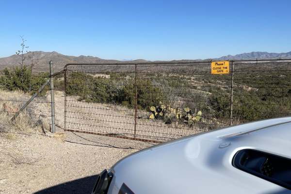
The trail starts out pretty narrow, but large enough for a Jeep or truck to pass one way. It starts out with a steep, off-camber drop. Drivers beware that normal 4x4 suspension can be damaged here along with side quarter panels if you take the drop too fast or at the wrong angle. Thereafter, the tra...
Learn more about Oak Tree Wash Trail
ATV trails near Rincon Valley, Arizona
Explore ATV-friendly trails near you. These trails are accessible for vehicles up to 50 inches wide, perfect for ATVs and smaller off-road machines.
Redington Pass
Redington Pass is a very popular two-lane road with lots of dispersed camping on the western slope overlooking Tucson. This pass varies in difficulty from deep ruts and washouts with many full washes. Most of the western side can be traversed in a low clearance 2wd with caution but it's not advised....
Learn more about Redington Pass
Total Wreck Mine
The Total Wreck Mine Trail is perfect for off-road enthusiasts seeking an exhilarating adventure. The trail features challenging terrain with rocky, rutted, off-camber areas, and steep inclines that will test your skills and your vehicle's capabilities. You can start the trail from the Power Line Tr...
Learn more about Total Wreck Mine
High Road
The High Road is a great route to add to a trip out to Chiva Falls. The trail goes around the falls and crosses the creek that feeds the falls. The trail is mostly a mix of dirt and solid rock with some short climbs or drops depending on direction. It's slow going, bumpy, and rocky, and will need go...
Learn more about High Road
Powerline Road
The Powerline Road is a rugged trail that begins just off of Old Sonoita Highway and runs eastward along I-10 towards the Whetstone Mountains. The Powerline trail is popular with ATVs, dirt bikes, SxSs, and other off-road vehicles. Back-road travel can be hazardous, so be aware of weather and road c...
Learn more about Powerline Road
UTV/side-by-side trails near Rincon Valley, Arizona
Find UTV and side-by-side trails near you. These trails accommodate vehicles up to 60 inches wide, ideal for UTVs, side-by-sides, and wider off-road rigs.
Redington Pass
Redington Pass is a very popular two-lane road with lots of dispersed camping on the western slope overlooking Tucson. This pass varies in difficulty from deep ruts and washouts with many full washes. Most of the western side can be traversed in a low clearance 2wd with caution but it's not advised....
Learn more about Redington Pass
Total Wreck Mine
The Total Wreck Mine Trail is perfect for off-road enthusiasts seeking an exhilarating adventure. The trail features challenging terrain with rocky, rutted, off-camber areas, and steep inclines that will test your skills and your vehicle's capabilities. You can start the trail from the Power Line Tr...
Learn more about Total Wreck Mine
High Road
The High Road is a great route to add to a trip out to Chiva Falls. The trail goes around the falls and crosses the creek that feeds the falls. The trail is mostly a mix of dirt and solid rock with some short climbs or drops depending on direction. It's slow going, bumpy, and rocky, and will need go...
Learn more about High Road
Powerline Road
The Powerline Road is a rugged trail that begins just off of Old Sonoita Highway and runs eastward along I-10 towards the Whetstone Mountains. The Powerline trail is popular with ATVs, dirt bikes, SxSs, and other off-road vehicles. Back-road travel can be hazardous, so be aware of weather and road c...
Learn more about Powerline Road
The onX Offroad Difference
onX Offroad combines trail photos, descriptions, difficulty ratings, width restrictions, seasonality, and more in a user-friendly interface. Available on all devices, with offline access and full compatibility with CarPlay and Android Auto. Discover what you're missing today!
Open Trail Map