
Dirt Bike Trails
Near Prospect, Oregon
Explore All Dirt Bike Trails Near Prospect, Oregon
Dirt Bike Trails Near Prospect, Oregon
Discover the best dirt bike trails near you. Browse trail maps, check difficulty ratings, and find your next adventure — whether you're looking for a quick ride or an all-day expedition.
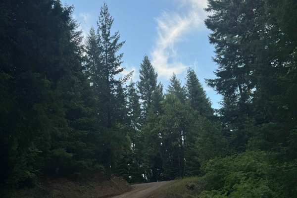
Hall's Point - FS 6400-200
This trail is a forest road that starts off with some gravel and then transitions to dirt. The trail steadily climbs over 2,300 feet in elevation over approximately 5.6 miles. The trail is mostly one lane wide with places to pass, and some areas have overgrown vegetation and tight trees. As the trai...
Learn more about Hall's Point - FS 6400-200
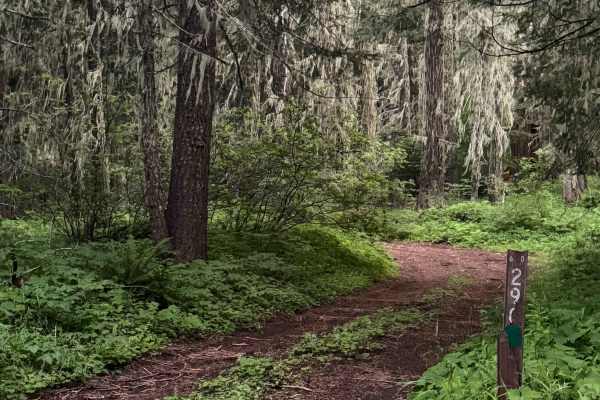
White Point Lookout Trail
This is a dirt-based forest road that climbs up to the White Point Lookout Tower. The trail is narrow and one vehicle wide, with overgrown vegetation most of the way. There are some small ledges and a couple of mud holes, but overall this is an easy trail that is suitable for any vehicle type, but e...
Learn more about White Point Lookout Trail
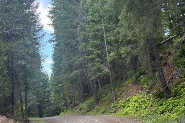
FS 6400
This is a hard-packed, gravel-based forest road in the Prospect OHV area. The trail begins as you cross an old wooden bridge where there is minor wash. The trail gradually climbs around 500 feet in elevation over just under 7 miles. This is a main trail into the network of trails, and one end of the...
Learn more about FS 6400
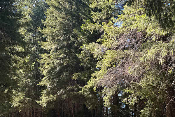
Gravel Butte - FS 6600
This is a gravel-based forest road in the Prospect OHV area. The trail gradually climbs nearly 1,400 feet in elevation, then drops the same amount over the course of 9.7 miles. The trail has minor ruts and wash, washboard, and some deep potholes but is overall an easy trail suitable for any vehicle ...
Learn more about Gravel Butte - FS 6600
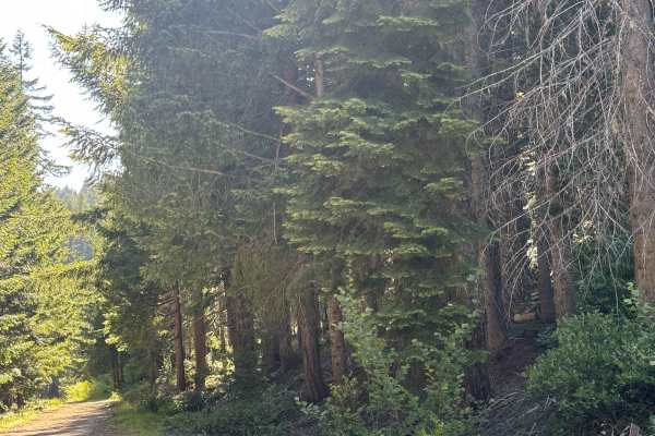
Buck Basin - FS 6600-300
This is a narrow, one-lane, gravel-based forest road with 1,300 feet of elevation change. The trail has lots of overgrown vegetation, and you will have dense forest views and views of the surrounding ridges. Camping is allowed along this trail, and there are several pre-existing campsites. There are...
Learn more about Buck Basin - FS 6600-300
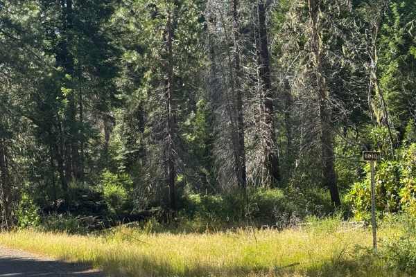
FS 6640
This is a hard-packed, gravel-based forest road that gradually climbs over 2,300 feet in elevation. In the beginning, the views are of forest and surrounding peaks and ridges, but closer to the top it opens up into meadows. There are some potholes you want to avoid as well as minor ruts and wash, bu...
Learn more about FS 6640
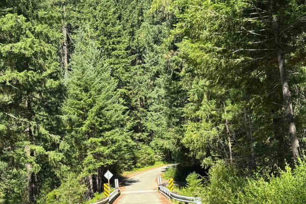
FS 6510
This is a hard-packed gravel forest road that runs alongside the river for a while. The trail climbs nearly 900 feet in elevation before dropping over 1,200 feet. There are multiple switchbacks with some ledges, but the road is wide enough to pass any oncoming vehicles. Along the way, there is some ...
Learn more about FS 6510
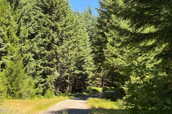
FS 6515 West
This is a hard-packed, gravel forest road that gradually climbs over 2,100 feet of elevation over 9.3 miles. The trail begins in forested areas, but as you near the top/end, it opens up with meadows. The trail has some switchbacks and ledges, is narrow in places with room to pass, and camping is all...
Learn more about FS 6515 West
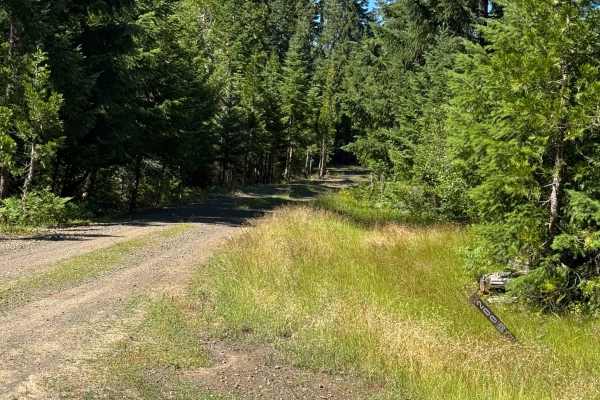
Mount Stella Lookout Trail
This is a dirt-based forest road that leads to the Mount Stella Lookout Tower. The trail starts off wide enough for two vehicles and gravel-based, then transitions to dirt-based where there is an open gate. The trail becomes narrow and one vehicle wide with no room to pass. There is rock garden and ...
Learn more about Mount Stella Lookout Trail
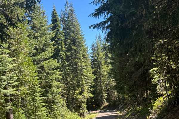
FS 6515 East
This is a gravel-based forest road that returns you from the top of the ridge and trail system back to the main road, Crater Lake Highway. The trail has some minor ruts and wash, slight washboard, and some decent-sized potholes to keep you alert. The trail offers good views of the surrounding mounta...
Learn more about FS 6515 East
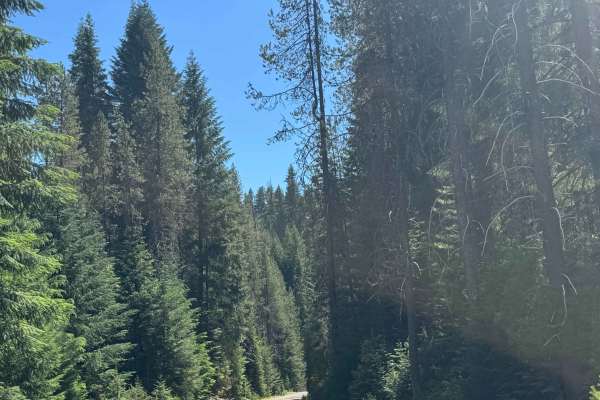
FS 6535-900
This is a hard-packed, gravel-based forest road that climbs nearly 1,400 feet in elevation before dead-ending at the boundary of Crater Lake National Park. At the beginning of the trail, you are in a burned forest area and cross over a creek that the trail runs parallel with for a while. There is a ...
Learn more about FS 6535-900
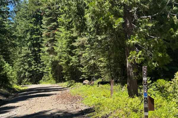
Rabbit Ears - OHV 25 Loop
This is a gravel-based OHV trail with a small portion to complete the loop only accessible by ATV or dirt bike. The trail is narrow and one vehicle wide, with some room to pass and overgrown vegetation. There are minor ruts and wash, large potholes, and a couple of mud holes to traverse. The views a...
Learn more about Rabbit Ears - OHV 25 Loop
FS 6535
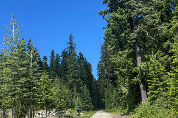
This is a gravel-based trail that gradually climbs nearly 1,800 feet in elevation and then descends 1,000 feet. The trail is relatively smooth with a few potholes here and there, and one end has a section that has ruts and washouts up to a foot deep. The trail runs along the border of Crater Lake Na...
Learn more about FS 6535
Hershberger Lookout Trail - OHV 26
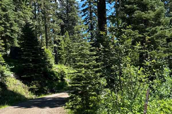
This is a dirt-based OHV trail that leads you to the Hershberger Lookout Tower, which sits on top of Hershberger Mountain at 6,257 feet in elevation. The trail is narrow and one lane wide with few places to pass and is only open to dirt bikes, ATVs, and Jeeps. The trail has some major rock gardens t...
Learn more about Hershberger Lookout Trail - OHV 26
Incense Cedar Loop
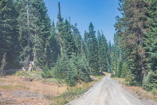
Incense Cedar Loop is an easy gravel road, that runs through Umpqua National Forest, a couple of sections of the road get a bit washed out, but its nothing a two-wheel drive cant do, just stick to the side of the road that hasn't been rutted out. There are two hiking trails on this road Rogue Umpqua...
Learn more about Incense Cedar Loop
Copeland Creek
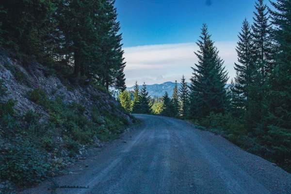
Copeland Creek road runs through the Umpqua National Fores. It is an easy gravel road with some gradual inclines. You will find beautiful views ever so often when the trees open up. There are sections of the road that have been burned so be aware there is a chance of falling rocks, trees, and flash ...
Learn more about Copeland Creek
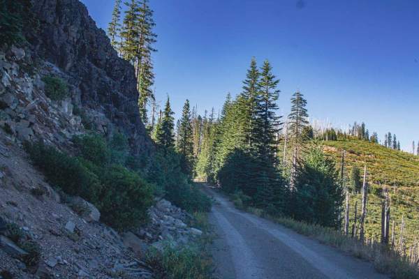
Rolling Grounds
One thing about Rolling Grounds road is that it offers amazing views, both of rolling grounds, and rolling rocks! This road is a mix of gravel and natural surface, with spots that get a bit more washed out and tight, there are a few smaller sections that have water running along it, from a small und...
Learn more about Rolling Grounds
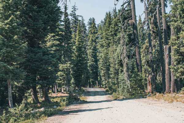
Dog Prairie
Dog Prairie road is a gravel road that runs through Umpqua National Forest, there are a couple of sections of the road that get a bit washed out, with some ruts and little dig outs that would be easier in four-wheel drive, but with the right weather conditions and line a two-wheel drive could make i...
Learn more about Dog Prairie
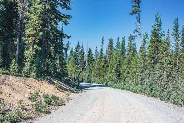
Three Lakes
Three Lakes Road is a gravel road that runs through the Umpqua National Forest. There are lots of off-shoot roads that offer access to camping spots. The road itself is easy, with a couple of sections that have some gradual inclines. You will find access to Hemlock Butte Ski Cabin and in the winter,...
Learn more about Three Lakes
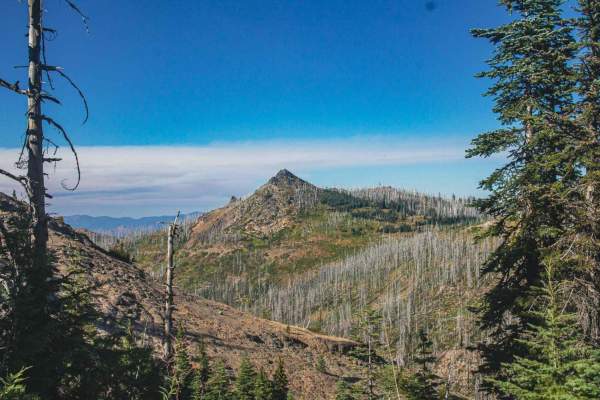
Black Rock
Black Rock is easy gravel and the natural surface mixed road that runs through the Umpqua National Forest. There are amazing views on this road, with areas that have been burned but that doesn't stop it from being stunning still be aware there is a chance of falling rocks, trees, and flash floods. T...
Learn more about Black Rock
ATV trails near Prospect, Oregon
Explore ATV-friendly trails near you. These trails are accessible for vehicles up to 50 inches wide, perfect for ATVs and smaller off-road machines.
Hall's Point - FS 6400-200
This trail is a forest road that starts off with some gravel and then transitions to dirt. The trail steadily climbs over 2,300 feet in elevation over approximately 5.6 miles. The trail is mostly one lane wide with places to pass, and some areas have overgrown vegetation and tight trees. As the trai...
Learn more about Hall's Point - FS 6400-200
White Point Lookout Trail
This is a dirt-based forest road that climbs up to the White Point Lookout Tower. The trail is narrow and one vehicle wide, with overgrown vegetation most of the way. There are some small ledges and a couple of mud holes, but overall this is an easy trail that is suitable for any vehicle type, but e...
Learn more about White Point Lookout Trail
FS 6400
This is a hard-packed, gravel-based forest road in the Prospect OHV area. The trail begins as you cross an old wooden bridge where there is minor wash. The trail gradually climbs around 500 feet in elevation over just under 7 miles. This is a main trail into the network of trails, and one end of the...
Learn more about FS 6400
Gravel Butte - FS 6600
This is a gravel-based forest road in the Prospect OHV area. The trail gradually climbs nearly 1,400 feet in elevation, then drops the same amount over the course of 9.7 miles. The trail has minor ruts and wash, washboard, and some deep potholes but is overall an easy trail suitable for any vehicle ...
Learn more about Gravel Butte - FS 6600
UTV/side-by-side trails near Prospect, Oregon
Find UTV and side-by-side trails near you. These trails accommodate vehicles up to 60 inches wide, ideal for UTVs, side-by-sides, and wider off-road rigs.
Hall's Point - FS 6400-200
This trail is a forest road that starts off with some gravel and then transitions to dirt. The trail steadily climbs over 2,300 feet in elevation over approximately 5.6 miles. The trail is mostly one lane wide with places to pass, and some areas have overgrown vegetation and tight trees. As the trai...
Learn more about Hall's Point - FS 6400-200
White Point Lookout Trail
This is a dirt-based forest road that climbs up to the White Point Lookout Tower. The trail is narrow and one vehicle wide, with overgrown vegetation most of the way. There are some small ledges and a couple of mud holes, but overall this is an easy trail that is suitable for any vehicle type, but e...
Learn more about White Point Lookout Trail
FS 6400
This is a hard-packed, gravel-based forest road in the Prospect OHV area. The trail begins as you cross an old wooden bridge where there is minor wash. The trail gradually climbs around 500 feet in elevation over just under 7 miles. This is a main trail into the network of trails, and one end of the...
Learn more about FS 6400
Gravel Butte - FS 6600
This is a gravel-based forest road in the Prospect OHV area. The trail gradually climbs nearly 1,400 feet in elevation, then drops the same amount over the course of 9.7 miles. The trail has minor ruts and wash, washboard, and some deep potholes but is overall an easy trail suitable for any vehicle ...
Learn more about Gravel Butte - FS 6600
The onX Offroad Difference
onX Offroad combines trail photos, descriptions, difficulty ratings, width restrictions, seasonality, and more in a user-friendly interface. Available on all devices, with offline access and full compatibility with CarPlay and Android Auto. Discover what you're missing today!
Open Trail Map