Trail Overview
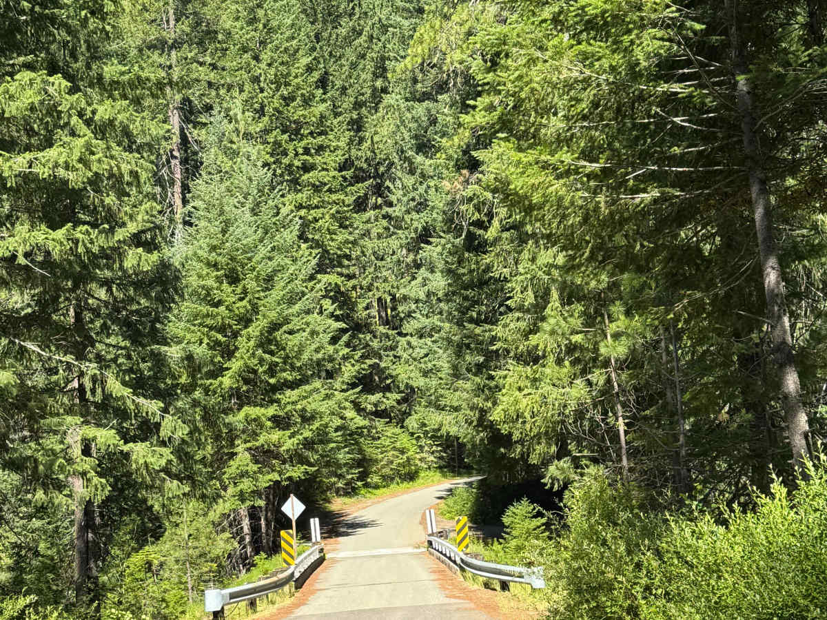
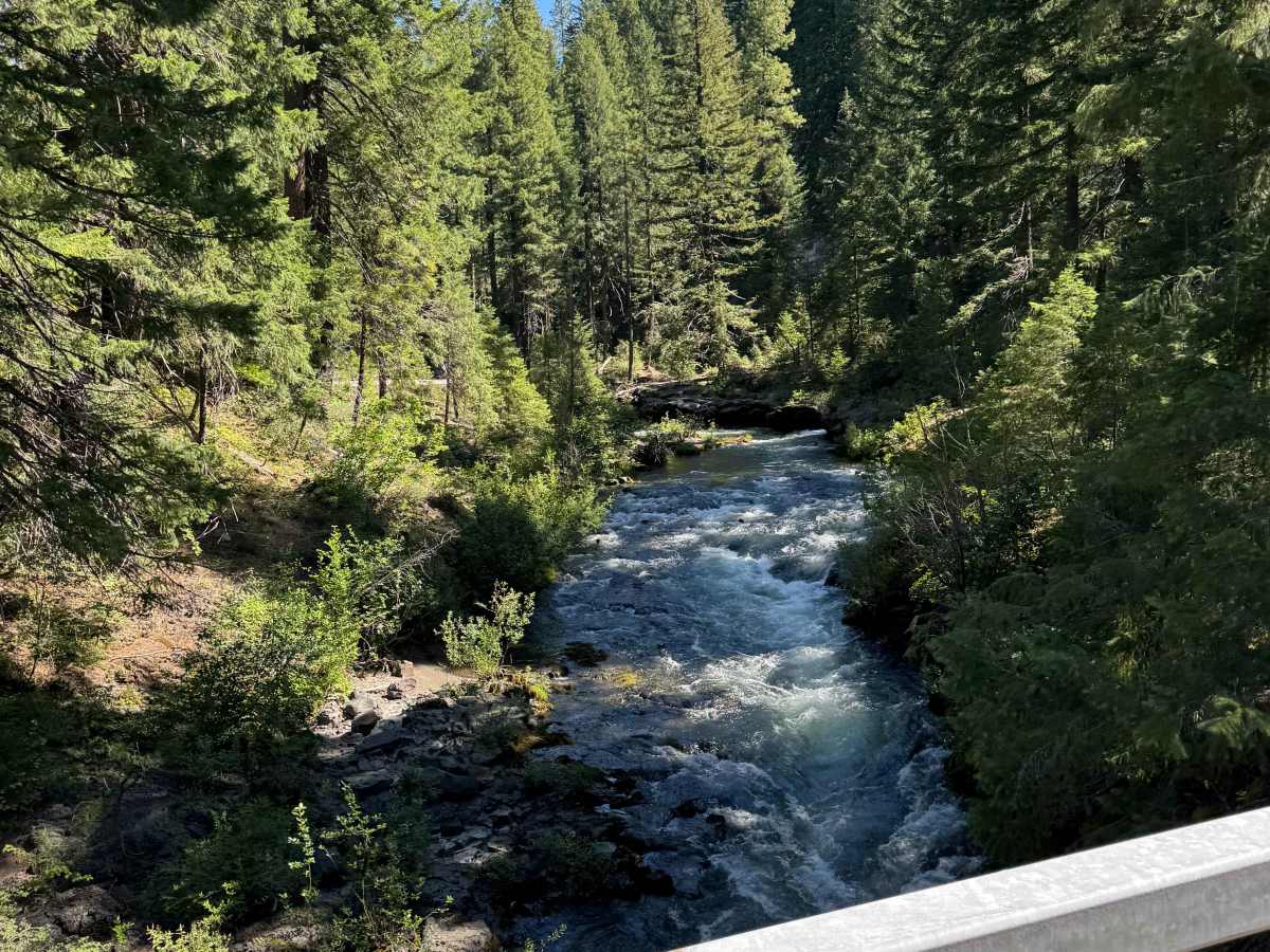
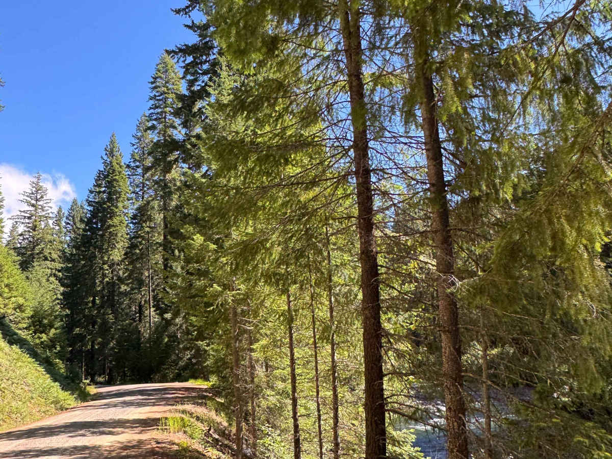
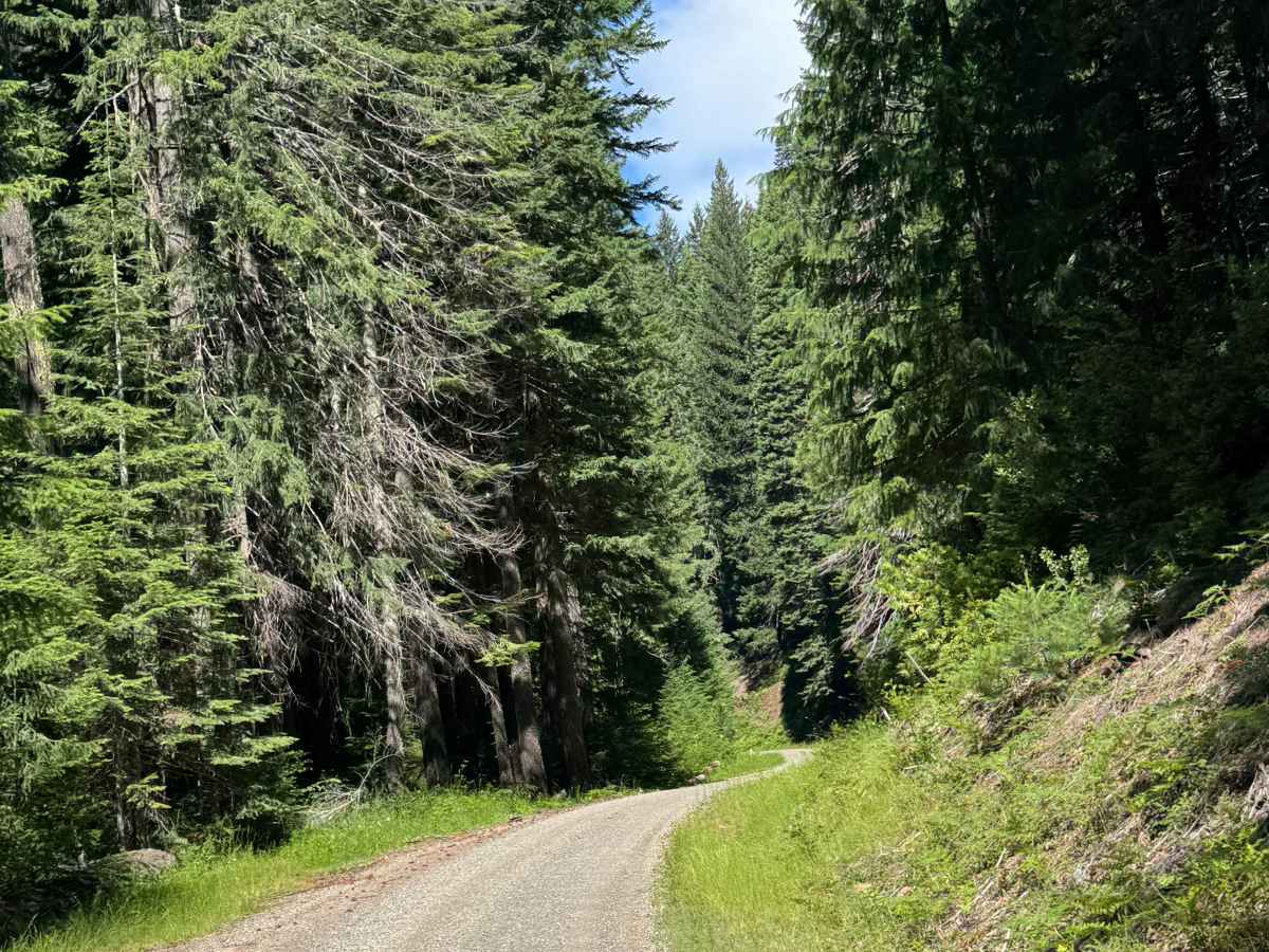
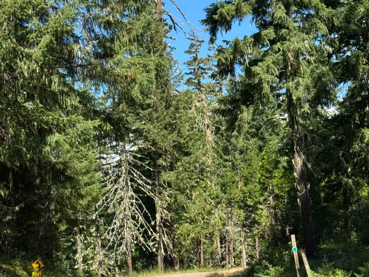
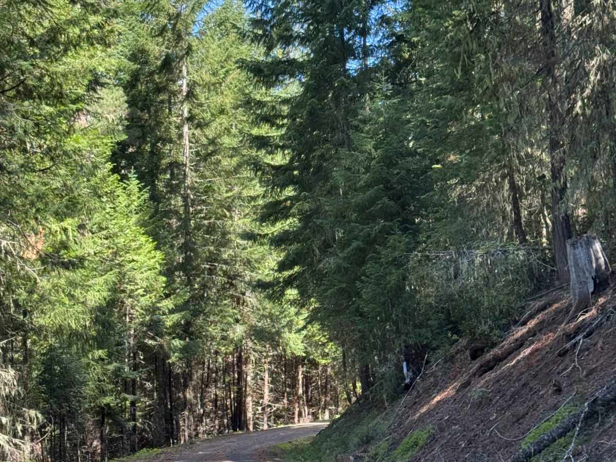
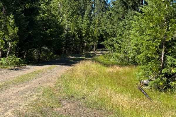
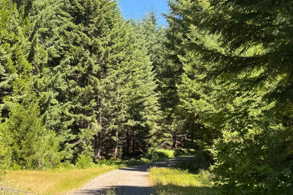
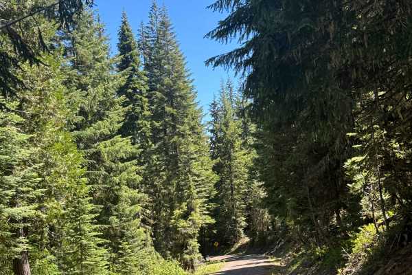
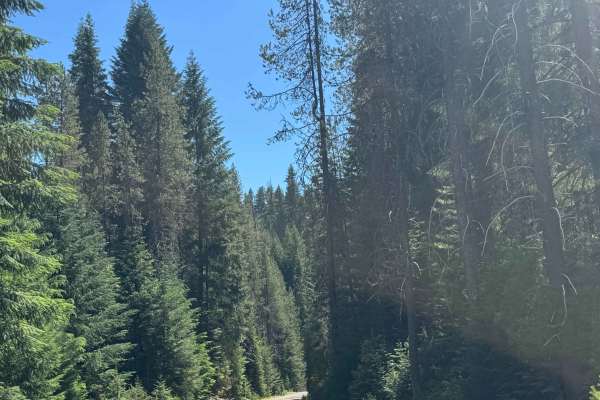
This is a hard-packed gravel forest road that runs alongside the river for a while. The trail climbs nearly 900 feet in elevation before dropping over 1,200 feet. There are multiple switchbacks with some ledges, but the road is wide enough to pass any oncoming vehicles. Along the way, there is some washboard, making for a bumpy ride, as well as some major potholes to avoid. You will have forest views and the occasional view of the ridges and mountains around, and camping is allowed along this entire trail as you will pass several pre-existing dispersed campsites. Cell phone service was weak along the trail, and there are no amenities, so you should travel prepared. The nearest services and supplies are approximately 30 minutes from this trail at the general store and gas station in the town of Prospect.
Difficulty
Hard-packed, gravel forest road with some ledges and switchbacks, as well as some major potholes and washboard sections. Suitable for any vehicle type.