FS 6535

Total Miles11.1
Technical Rating
2Easy
Best TimeSpring, Summer, Fall
Trail TypeFull-Width Road
Accessible By
Open Trail Map

Trail Overview

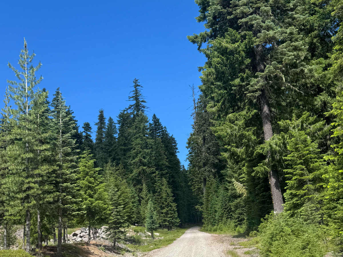
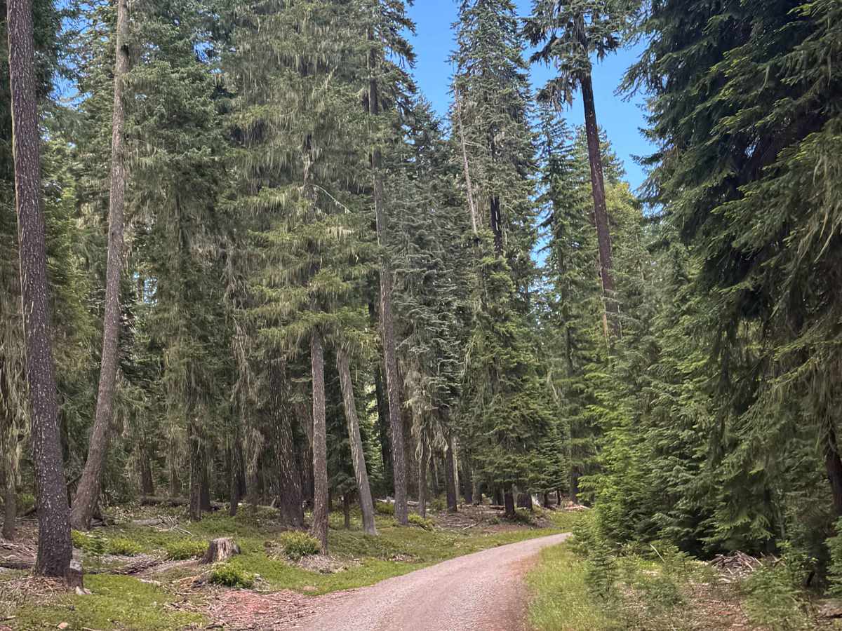
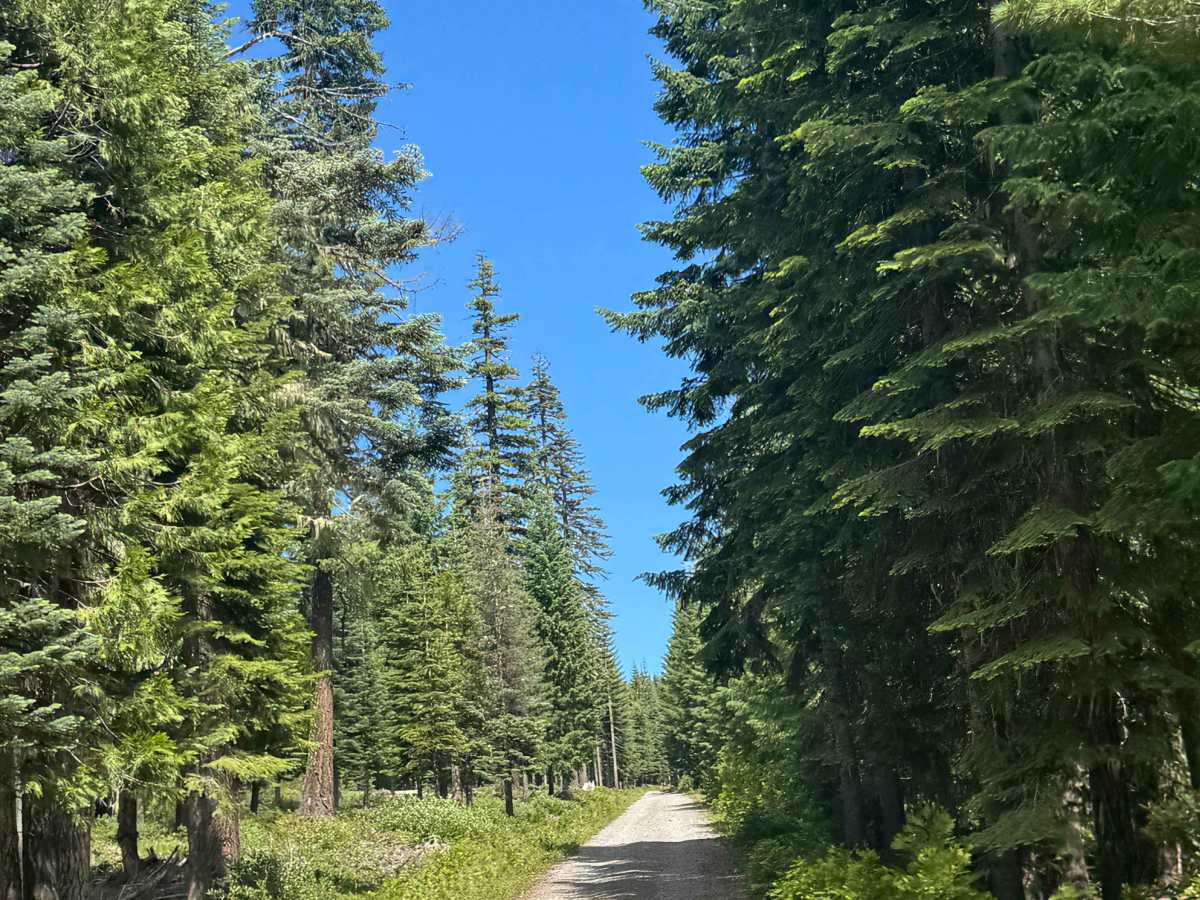
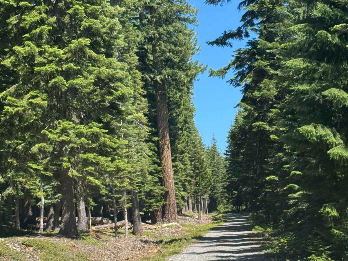
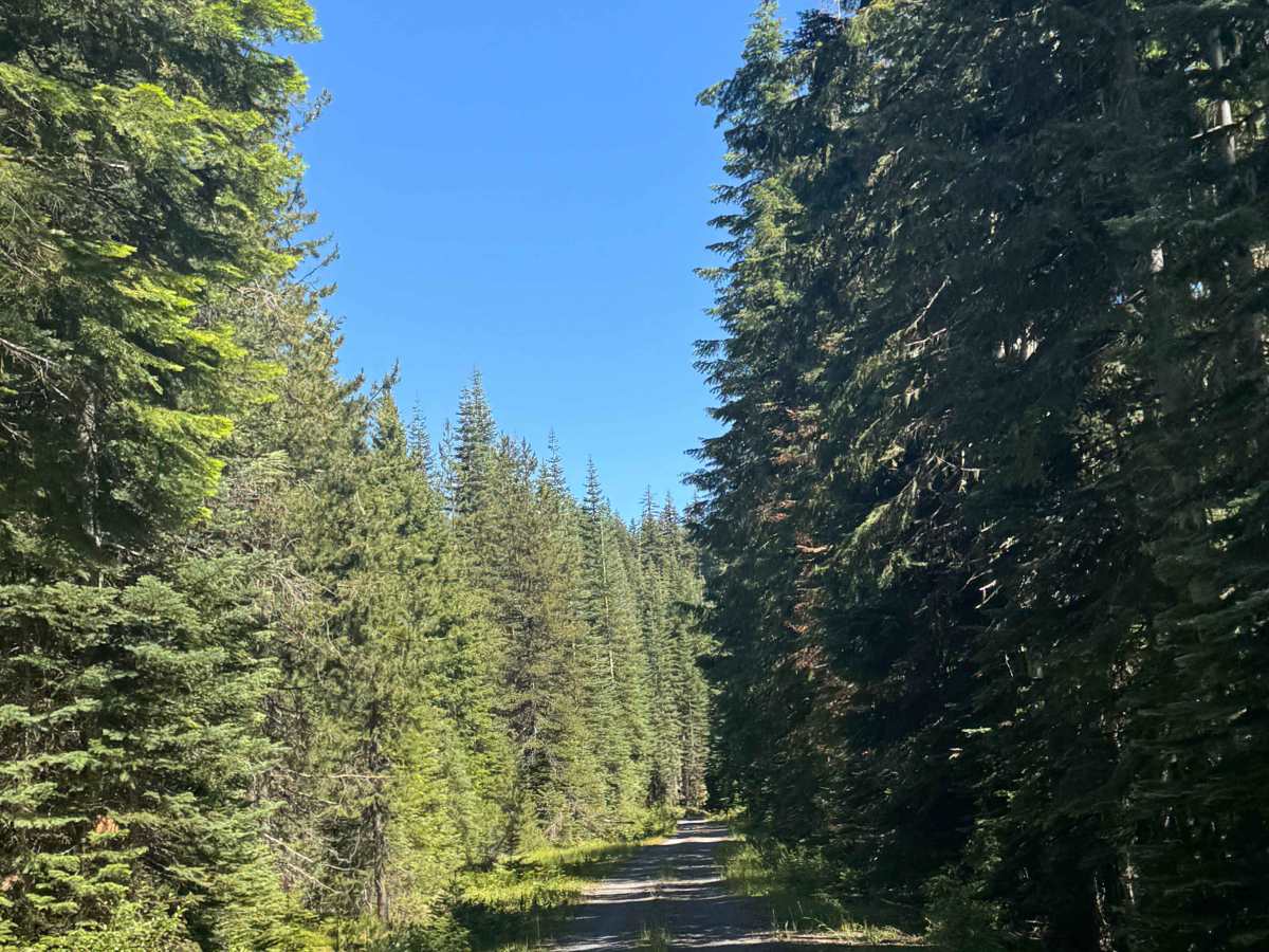
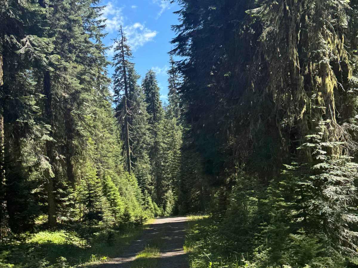
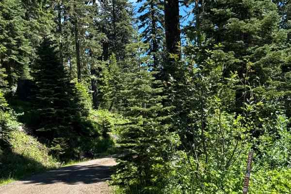
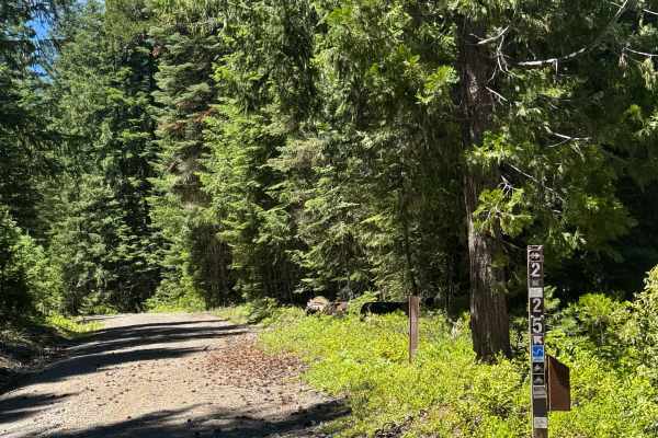
This is a gravel-based trail that gradually climbs nearly 1,800 feet in elevation and then descends 1,000 feet. The trail is relatively smooth with a few potholes here and there, and one end has a section that has ruts and washouts up to a foot deep. The trail runs along the border of Crater Lake National Park for a good way, and there are many split-off trails to explore. Camping is allowed along this entire trail, but there are no amenities and weak cell phone service at best. This trail is suitable for any vehicle type.

Photos of FS 6535

Difficulty

Gravel-based forest road that runs along the border of Crater Lake National Park. The southern end of the trail has some ruts and washouts up to a foot, but this trail is suitable for any vehicle type.

Technical Rating

2

FS 6535 Trail can be accessed by the following ride types:

  • Single Track
  • 50 Inch
  • 60 Inch
  • High Clearance
  • Full Width

FS 6535 Map

The onX Offroad Difference

onX Offroad combines trail photos, descriptions, difficulty ratings, width restrictions, seasonality, and more in a user-friendly interface. Available on all devices, with offline access and full compatibility with CarPlay and Android Auto. Discover what you're missing today!

Open Trail Map