Trail Overview
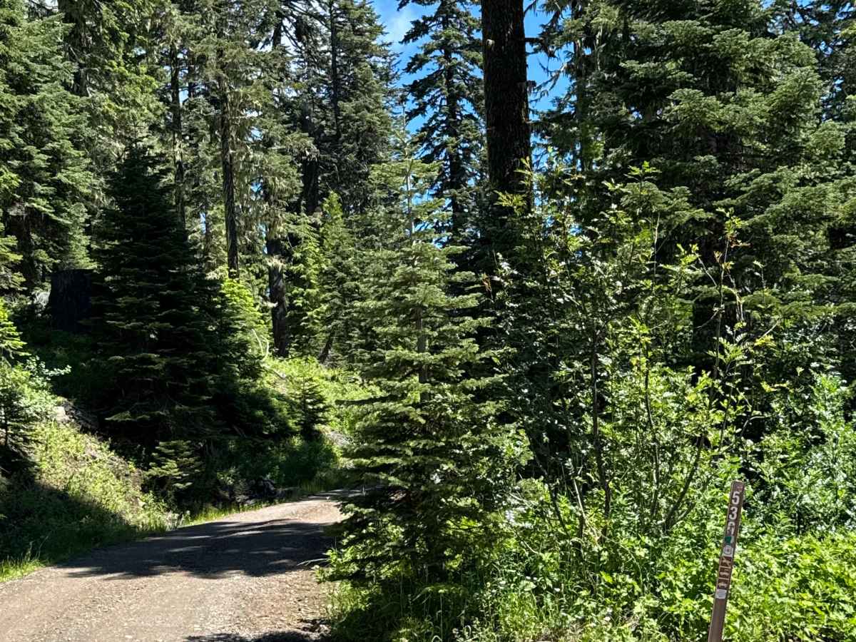
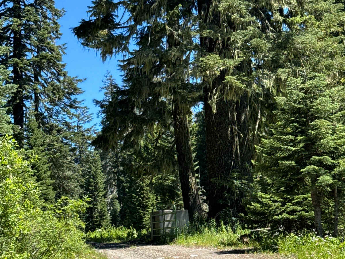
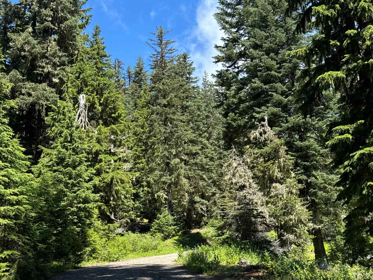
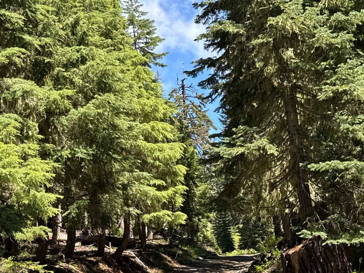
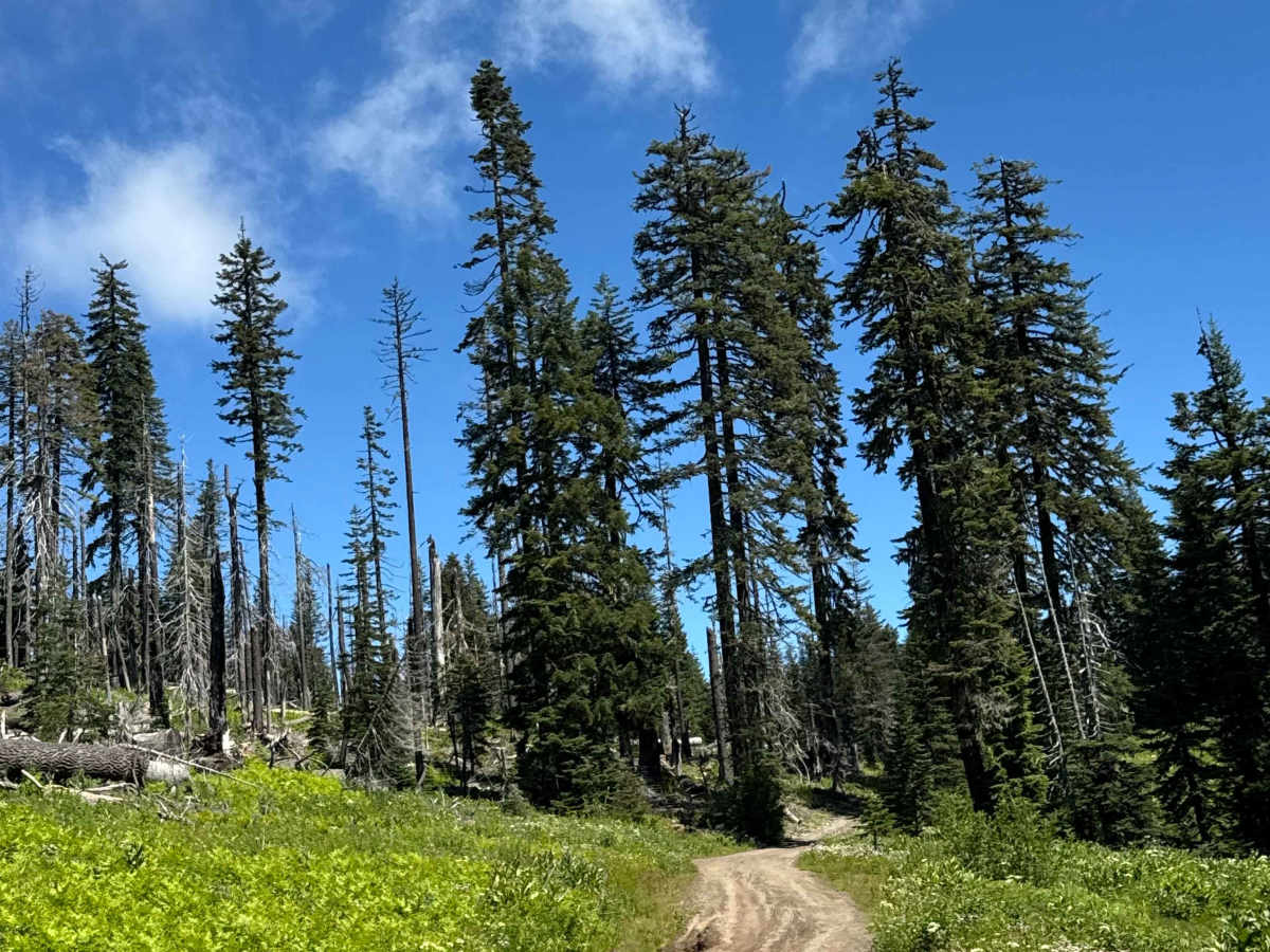
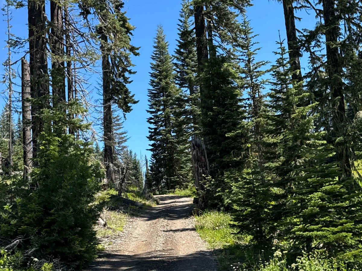
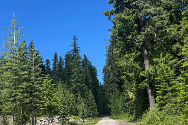
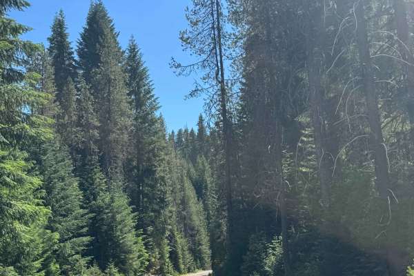
This is a dirt-based OHV trail that leads you to the Hershberger Lookout Tower, which sits on top of Hershberger Mountain at 6,257 feet in elevation. The trail is narrow and one lane wide with few places to pass and is only open to dirt bikes, ATVs, and Jeeps. The trail has some major rock gardens that are bumpy with boulders exposed and sticking out of the ground up to a foot, and there are ruts and washes you must straddle and navigate up to a foot and a half deep. The trail starts off with a gradual incline, but you hit the final push, which is a steep shelf road with 2 switchbacks and some ledges. Once at the top, the trail dead ends at the restroom and outbuilding for the lookout, and there is a set of metal stairs that will lead you up to the lookout, which is in pristine condition. The views are stunning and panoramic for miles, reaching all the way to Mount Shasta in California. Camping is allowed along this trail, and there are several pre-existing dispersed campsites along the way, as well as a few hiking trails. Cell phone service was weak on this trail, and there are no amenities, so you should travel prepared, as the nearest services are over 45 minutes from this trail. An OHV vehicle is required for this trail.