Trail Overview
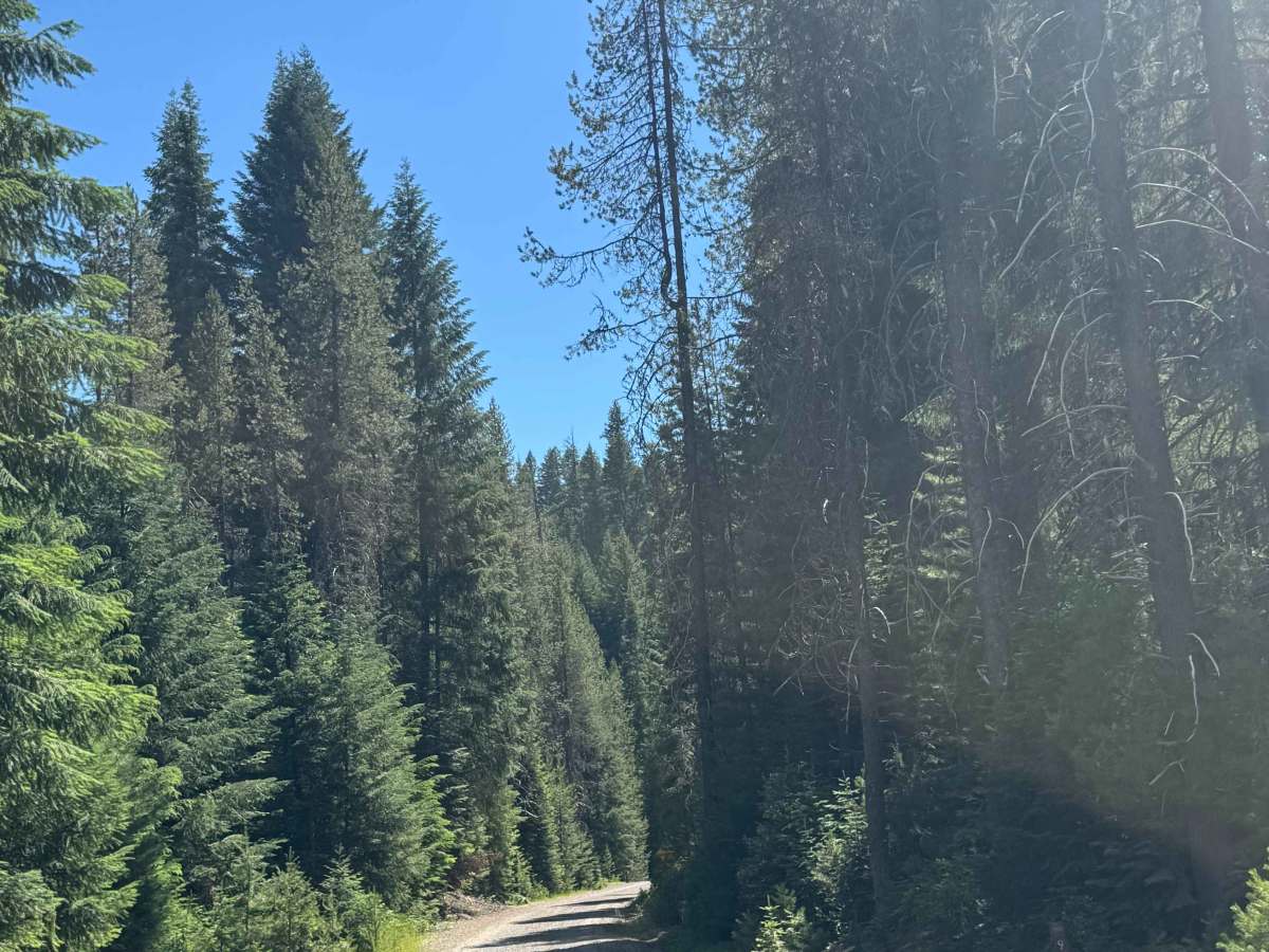
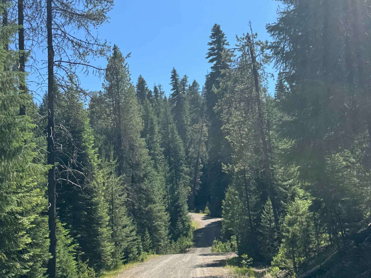
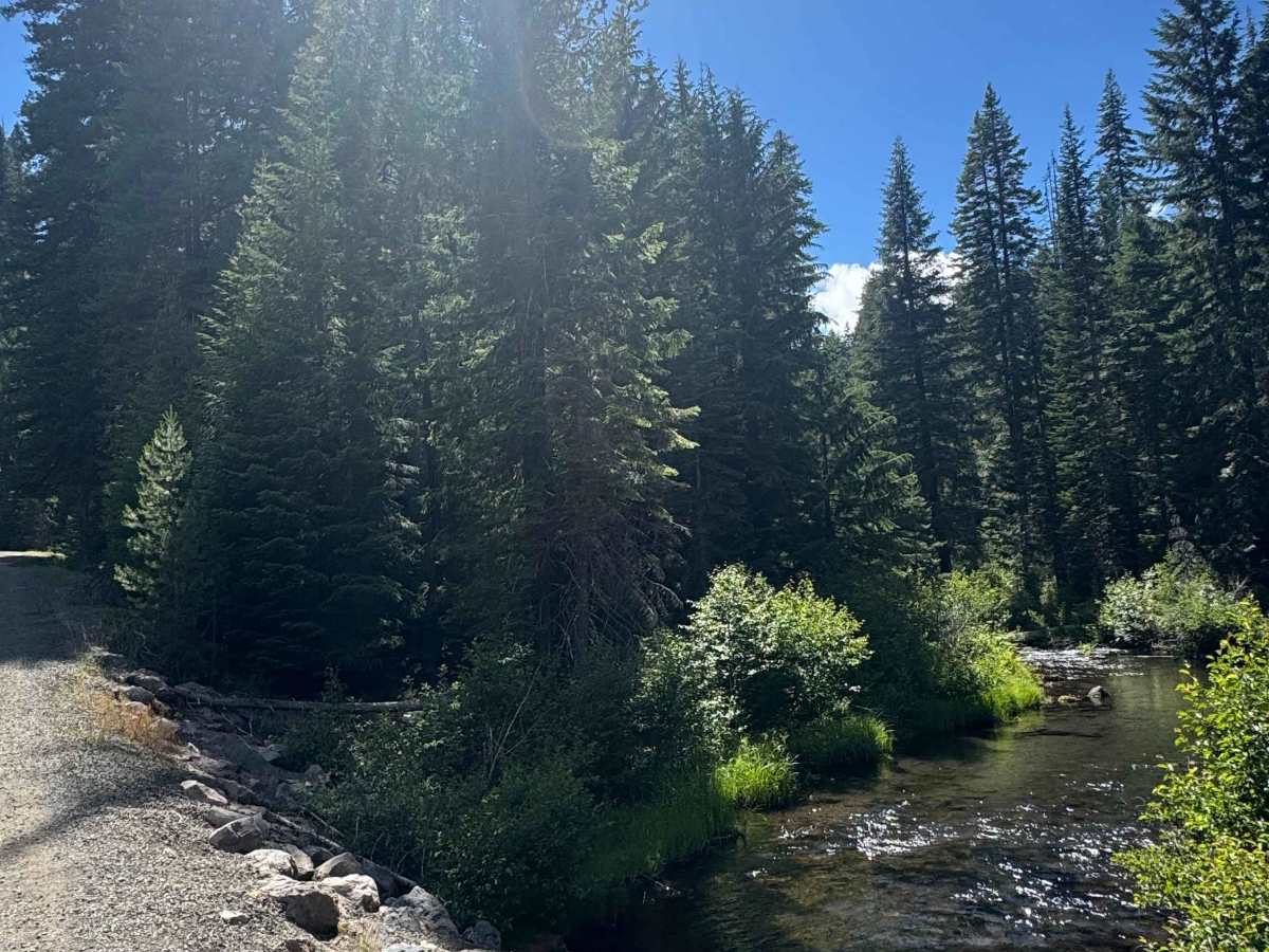
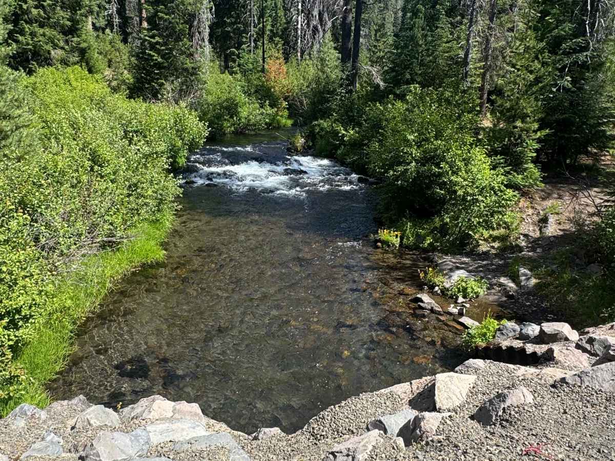
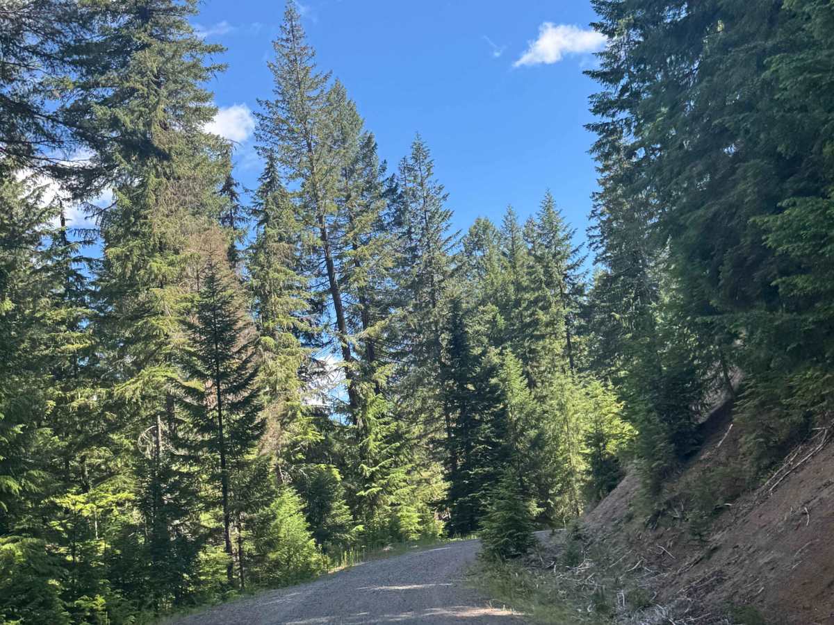
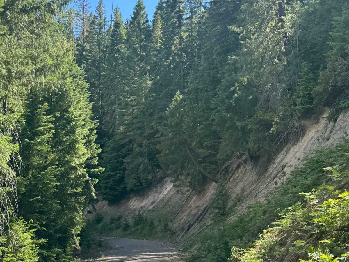
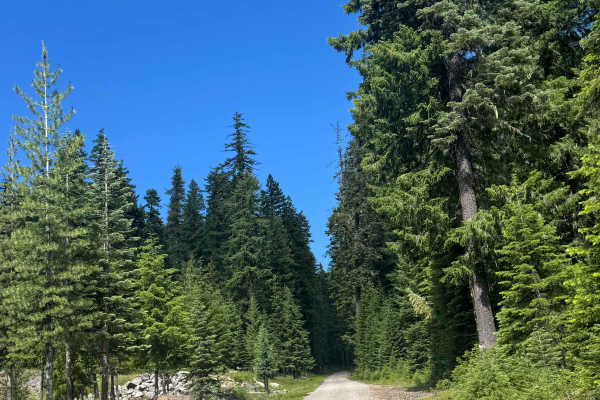
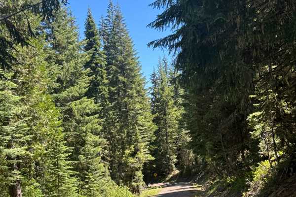
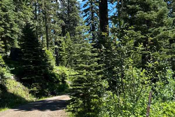
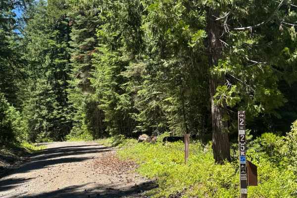
This is a hard-packed, gravel-based forest road that climbs nearly 1,400 feet in elevation before dead-ending at the boundary of Crater Lake National Park. At the beginning of the trail, you are in a burned forest area and cross over a creek that the trail runs parallel with for a while. There is a steep dip down and out of the area you cross the river, but there is a large culvert covered in gravel, so no actual water crossing. There are many great campsites and swimming areas in this section of the trail, and camping is allowed along the entire trail. The trail offers no amenities or cell phone service, but it does offer views of the forest and of the rushing creek, and an occasional view of the ridges around you. This trail is suitable for any vehicle type.
Difficulty
Gravel-based forest road with minor washboard in some places. There is a large dip/whoop where you cross the creek, but overall a smooth ride the whole way. Any vehicle type could traverse this trail.