Dirt Bike Trails
Near Peoria, Oregon
Explore All Dirt Bike Trails Near Peoria, Oregon
Dirt Bike Trails Near Peoria, Oregon
Discover the best dirt bike trails near you. Browse trail maps, check difficulty ratings, and find your next adventure — whether you're looking for a quick ride or an all-day expedition.
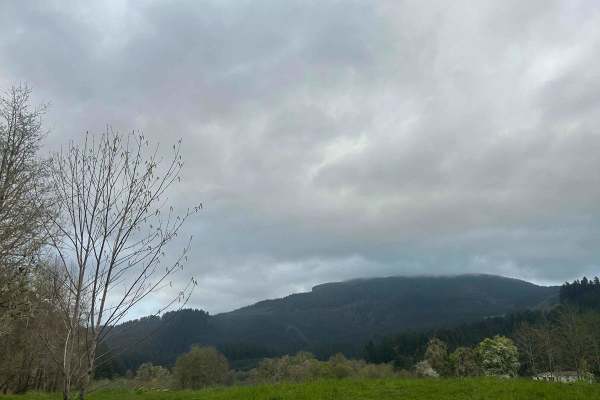
Mary's Peak to Harlan
The first mile to mile and a half is full of potholes, then it smooths out. There are dispersed camping spots along the way along with a couple of streams and views when it opens up. Throughout the trail, there are offshoots for further exploration. Winter travel is not recommended due to high pileu...
Learn more about Mary's Peak to Harlan
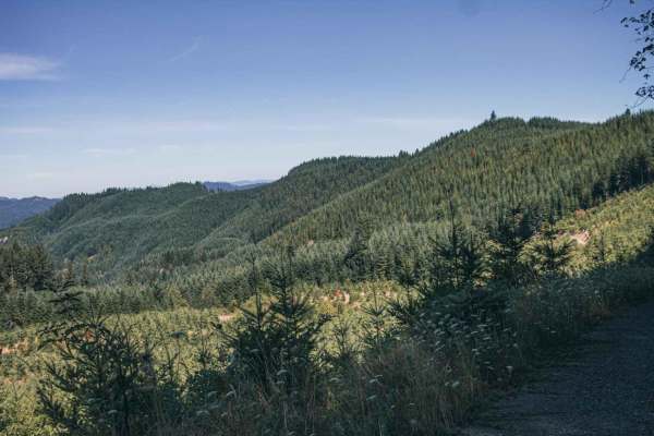
Sugar Loaf
Sugar Loaf is an approachable yet scenic gravel route through the Siuslaw National Forest and private timberlands, making it a perfect drive for beginners, high-clearance four-wheel-drive vehicles, and SxSs seeking sweeping forest views. Spanning approximately 3.7 miles, this easy-rated trail climbs...
Learn more about Sugar Loaf
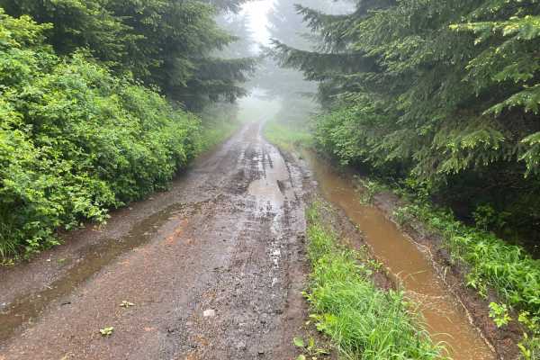
Prairie Peak
Prairie Peak is located on BLM land outside of Triangle Lake, Oregon. The area is a system of trails and dirt roads that wind their way up to a broadcast tower at the peak that can make for some easy riding and great scenic views. The trail leading up to the peak is a somewhat maintained dirt road w...
Learn more about Prairie Peak
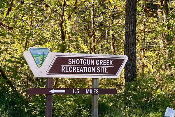
Shotgun to McGowan - Mainline
This is a great weekend drive. Go north on Marcola Road out of Springfield. Shotgun Creek Road is on the left just after you pass the covered bridge. Head up to the fork and take a right towards Crooked Creek Staging Area where you will head straight until you reach FS 15-2-24, as you head up the hi...
Learn more about Shotgun to McGowan - Mainline
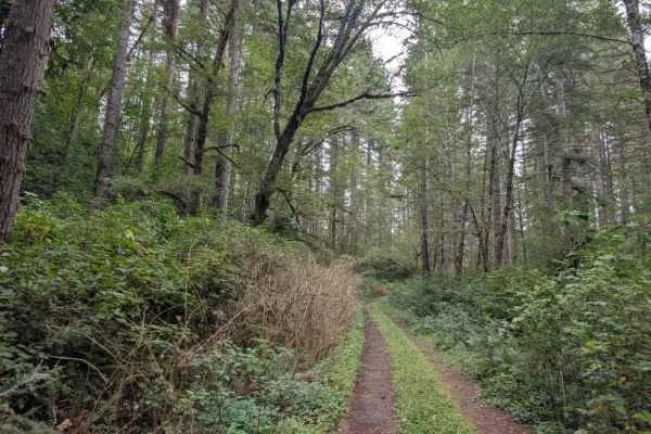
FS 3100126
This maintained trail travels through a dense, very green forest with a heavy canopy overhead. The road surface is mostly smooth gravel, though undergrowth and trees encroach on the trail in places, making the route look wider than it is. The surrounding vegetation can be deceptive, so allow extra r...
Learn more about FS 3100126
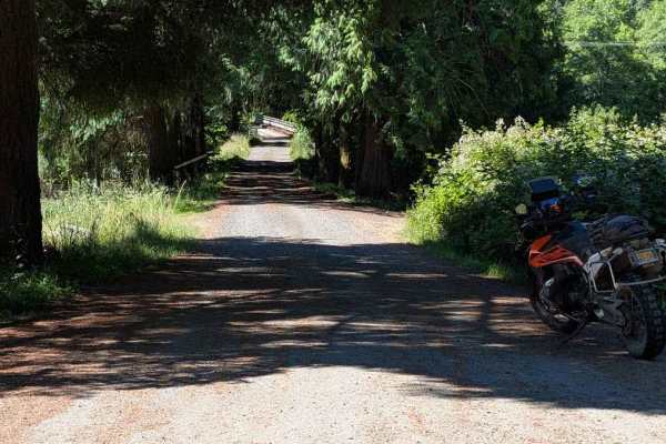
FS 3415
This road is accessed directly from Highway 34, but there are no signs marking its beginning. The road is easy, but it becomes overgrown fairly quickly, with encroaching vegetation and some low-hanging branches. From the Motor Vehicle Use Map, it is open to all classes of vehicles, but paint scratch...
Learn more about FS 3415
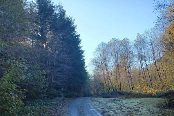
Missouri Tie
Missouri Tie is a 5-mile unpaved route winding through the Siuslaw National Forest along the Lincoln and Benton County border. The narrow corridor is heavily overgrown with dense coastal foliage, making vehicle pinstriping highly likely.
The trail has a low technical difficulty rating of 2, requiri...
Learn more about Missouri Tie
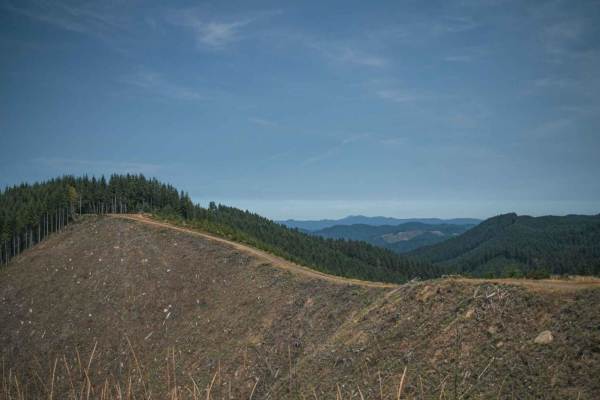
Bull Run
Bull Run is a loose gravel road that runs through the Siuslaw National Forest, most of the road is surrounded by thick trees. At the very top, the road becomes steep where logging is done. The trees have been cleared up there, offering a large open view and on a clear day, there is a beautiful viewi...
Learn more about Bull Run
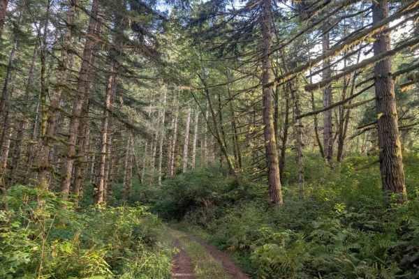
FS 3122000
This user-maintained trail consists of gravel tracks with some softer undergrowth growing through the center. The route begins through a beautiful forest with large, moss-covered trees, creating an especially lush setting. The trail climbs and descends several times before eventually reaching a ridg...
Learn more about FS 3122000

Gopher Creek
Gopher Creek Road runs through Siuslaw National Forest and is a mix of gravel and natural surface single-lane road, with a small creek access and access to a hiking and biking trail called the C2C aka (The Corvallis to the Sea) Hiking Trail. This 60-mile-long trail connects the Heart of the Willamet...
Learn more about Gopher Creek
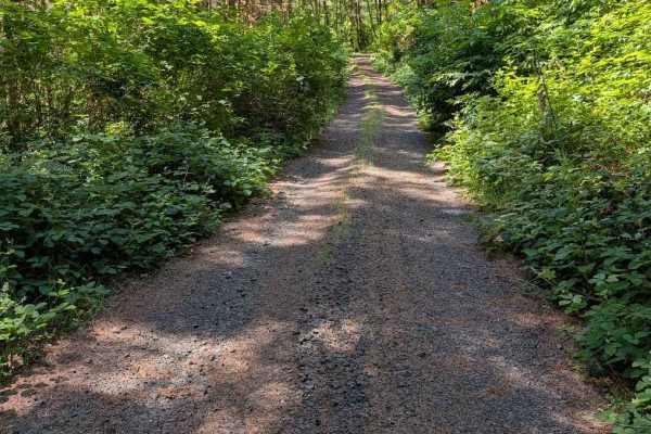
Grass Creek Rd - FS 3430
This is an easy gravel road that is overgrown in places. The track begins where the pavement ends on Grass Creek Road. It is a two-track for much of its length, starting wider and then narrowing and becoming more overgrown. The road is open to all vehicle classes, but even a motorcycle will be pushi...
Learn more about Grass Creek Rd - FS 3430
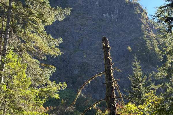
Upper Neal Creek Road
This is the route to get to Snow Peak. From the top, you will have to hike up approximately 1.5mi, or take another motorized route that will require a high-clearance 4WD. The road is larger gravel. It is very passable by 2WD, though a low-ground-clearance car is not recommended, as there are a fe...
Learn more about Upper Neal Creek Road
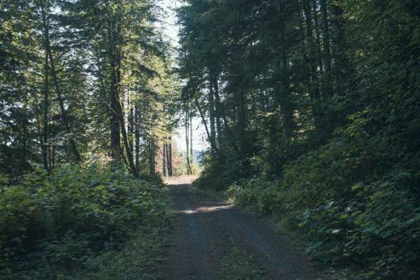
1000 Line
1000 Line Road runs through a mix of Siuslaw National Forst, Weyerhaeuser, and private property and the road does connect with other roads. This is an easy gravel road that is typically unmaintained, it tends to have overgrown vegetation and fallen tree limbs after a big storm or winter. There was o...
Learn more about 1000 Line
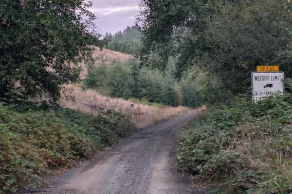
FS 3100000
This tight, single-lane trail climbs toward the paved section of Highway 31 through a lush, green forest. The route has a noticeable incline and is surrounded by overgrowth, though the vegetation stays clear of the travel path. The main concern along the climb is the number of potholes, including se...
Learn more about FS 3100000
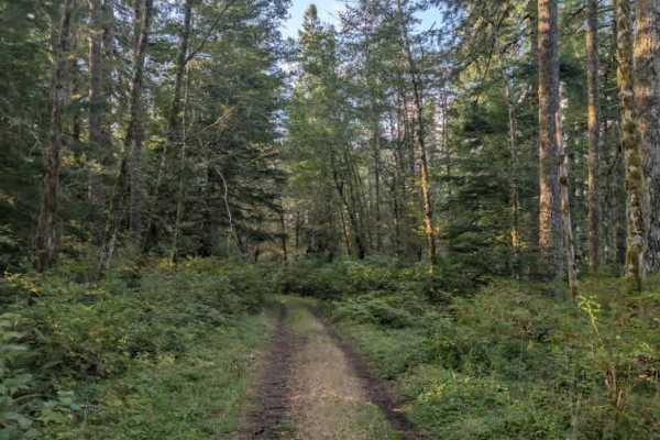
FS 5083228
This very tight trail is heavily overgrown, with thick shrubbery encroaching on the path and low undergrowth along the edges. A few potholes run along the route, but the main challenge is the limited width caused by the surrounding vegetation. No trees were observed blocking the road, although some ...
Learn more about FS 5083228
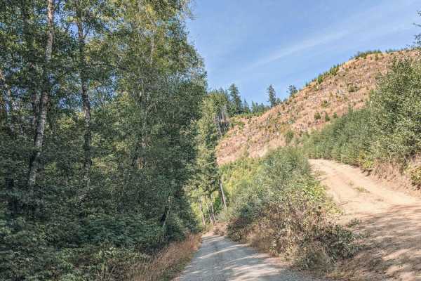
Blind Corners
Blind Corners is a gravel road that is typically unmaintained. There are many blind corners with hard visibility, so taking a slow speed would be recommended, hence the name. A few times on the drive the trees will clear out, or the road will be high enough that the views of the valley and the Yaqui...
Learn more about Blind Corners
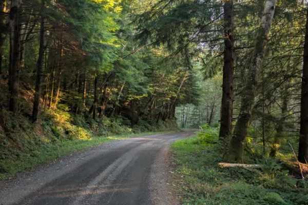
Beaver Creek - FS 5031
This well-used, well-maintained gravel road offers a pleasant drive alongside the creek before reaching private property. The route appears to continue beyond where the public road ends, but travel should not continue to avoid entering private land or trespassing. The road has a few minor potholes a...
Learn more about Beaver Creek - FS 5031
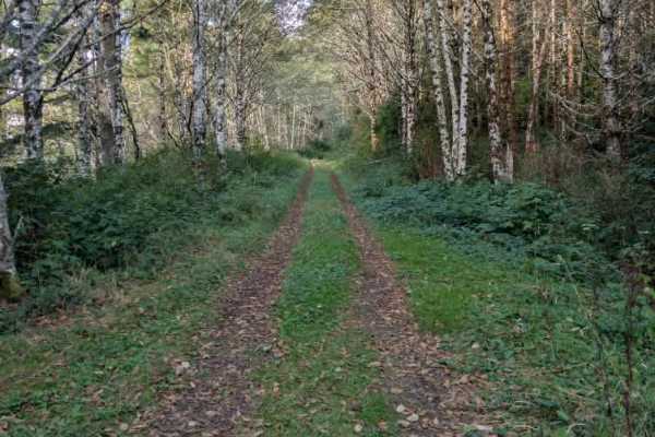
Mill Creek Divide - FS 5083
This gravel trail climbs steadily toward the mountain ridge, with potholes and deep irrigation ruts along the ascent. Some ruts are hidden within the center mound, making them hard to spot until you are already on top of them, so slow down and take them carefully. The road eventually reaches the rid...
Learn more about Mill Creek Divide - FS 5083
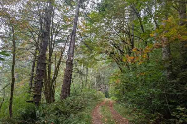
FS 3200672
This forest trail is user-maintained and doesn’t seem to get much use. The route begins on a hard gravel surface and eventually softens, with plenty of brush, trees, and undergrowth along the way. Expect significant pinstriping, as vegetation grows close to the trail, along with numerous potholes. D...
Learn more about FS 3200672
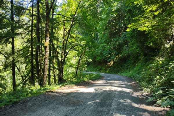
Moose Mountain- FS 2027
Moose Mountain Road, also known as FS 2027, is accessed from US Hwy 20 by turning at Moose Creek Road and crossing the bridge over the South Santiam River. This road is easy gravel, with some potholes and a few sections of larger loose rock. It is mostly single-lane with turnouts. The road passes th...
Learn more about Moose Mountain- FS 2027
ATV trails near Peoria, Oregon
Explore ATV-friendly trails near you. These trails are accessible for vehicles up to 50 inches wide, perfect for ATVs and smaller off-road machines.
Mary's Peak to Harlan
The first mile to mile and a half is full of potholes, then it smooths out. There are dispersed camping spots along the way along with a couple of streams and views when it opens up. Throughout the trail, there are offshoots for further exploration. Winter travel is not recommended due to high pileu...
Learn more about Mary's Peak to Harlan
Sugar Loaf
Sugar Loaf is an approachable yet scenic gravel route through the Siuslaw National Forest and private timberlands, making it a perfect drive for beginners, high-clearance four-wheel-drive vehicles, and SxSs seeking sweeping forest views. Spanning approximately 3.7 miles, this easy-rated trail climbs...
Learn more about Sugar Loaf
Prairie Peak
Prairie Peak is located on BLM land outside of Triangle Lake, Oregon. The area is a system of trails and dirt roads that wind their way up to a broadcast tower at the peak that can make for some easy riding and great scenic views. The trail leading up to the peak is a somewhat maintained dirt road w...
Learn more about Prairie Peak
Shotgun to McGowan - Mainline
This is a great weekend drive. Go north on Marcola Road out of Springfield. Shotgun Creek Road is on the left just after you pass the covered bridge. Head up to the fork and take a right towards Crooked Creek Staging Area where you will head straight until you reach FS 15-2-24, as you head up the hi...
Learn more about Shotgun to McGowan - Mainline
UTV/side-by-side trails near Peoria, Oregon
Find UTV and side-by-side trails near you. These trails accommodate vehicles up to 60 inches wide, ideal for UTVs, side-by-sides, and wider off-road rigs.
Mary's Peak to Harlan
The first mile to mile and a half is full of potholes, then it smooths out. There are dispersed camping spots along the way along with a couple of streams and views when it opens up. Throughout the trail, there are offshoots for further exploration. Winter travel is not recommended due to high pileu...
Learn more about Mary's Peak to Harlan
Sugar Loaf
Sugar Loaf is an approachable yet scenic gravel route through the Siuslaw National Forest and private timberlands, making it a perfect drive for beginners, high-clearance four-wheel-drive vehicles, and SxSs seeking sweeping forest views. Spanning approximately 3.7 miles, this easy-rated trail climbs...
Learn more about Sugar Loaf
Prairie Peak
Prairie Peak is located on BLM land outside of Triangle Lake, Oregon. The area is a system of trails and dirt roads that wind their way up to a broadcast tower at the peak that can make for some easy riding and great scenic views. The trail leading up to the peak is a somewhat maintained dirt road w...
Learn more about Prairie Peak
Shotgun to McGowan - Mainline
This is a great weekend drive. Go north on Marcola Road out of Springfield. Shotgun Creek Road is on the left just after you pass the covered bridge. Head up to the fork and take a right towards Crooked Creek Staging Area where you will head straight until you reach FS 15-2-24, as you head up the hi...
Learn more about Shotgun to McGowan - Mainline
The onX Offroad Difference
onX Offroad combines trail photos, descriptions, difficulty ratings, width restrictions, seasonality, and more in a user-friendly interface. Available on all devices, with offline access and full compatibility with CarPlay and Android Auto. Discover what you're missing today!
Open Trail Map