
Dirt Bike Trails
Near Kirkpatrick, Oregon
Explore All Dirt Bike Trails Near Kirkpatrick, Oregon
Dirt Bike Trails Near Kirkpatrick, Oregon
Discover the best dirt bike trails near you. Browse trail maps, check difficulty ratings, and find your next adventure — whether you're looking for a quick ride or an all-day expedition.
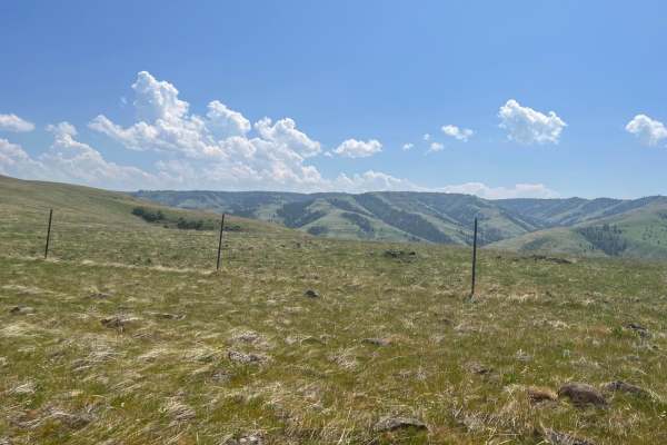
Rock the Ridge
This is a road up a rocky ridge from the valley. You will see blue mountains with views into the valleys below. The road can be challenging as it is rough and rocky. It has a variety of terrain. Both sides of the trail or road are fenced as mostly private property paralleling. There is an opportunit...
Learn more about Rock the Ridge
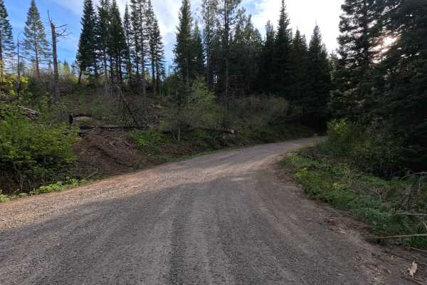
Black Mountain - FS 3128
Black Mountain Road is a 17.9-mile out-and-back single-lane gravel route. The road is tight and brushy in sections, with areas of larger gravel and occasional potholes that make it unsuitable for low-clearance vehicles. Along the route, there are numerous viewpoints, spur roads, and dispersed campin...
Learn more about Black Mountain - FS 3128
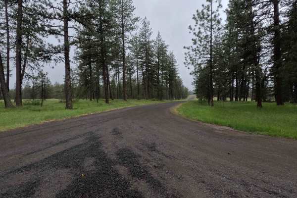
Spring Mountain - FS 3109
Spring Mountain is a 2.8-mile out-and-back route that begins as a wide road before narrowing to a single-lane gravel track. The route features numerous potholes and passes through wide, open grassy areas. The mapped trail ends, but the road continues, with conditions becoming significantly rougher. ...
Learn more about Spring Mountain - FS 3109
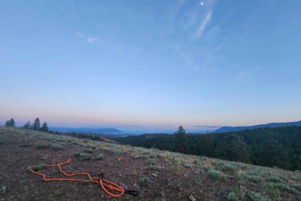
Craig's Cabin Road
Craig's Cabin Road is a just under 4-mile trail within Umatilla Forest. This trail is an offshoot of Phillips Creek. The primary trail material is dirt and small loose gravel. This route has a few run-off ruts that are easy to navigate. There is also a small washout section further down the trail. T...
Learn more about Craig's Cabin Road
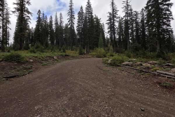
FS 3120500
FS 3120500 is a 3.6-mile point-to-point single-lane dirt road that winds through areas of new forest growth within the Wallowa-Whitman National Forest. The route is narrow and rough in places, with a small creek crossing the road at several points. As with nearby routes in the area, up-to-date mappi...
Learn more about FS 3120500
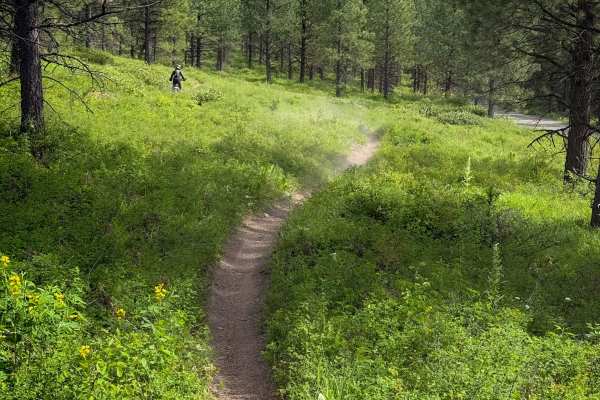
Snag - Trail 308
Snag is one of the longer dirt bike trails in the Mount Emily Recreation Area, winding through the forest for 3.5 miles with constant tight turns. It can be ridden in either direction and will be very similar either way. The trail is mostly smooth dirt, not too narrow, flowing through the scenic for...
Learn more about Snag - Trail 308
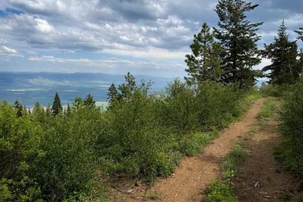
Upside - Trail 490
Upside is a moderately easy SxS trail for vehicles 65 inches or less in the Mount Emily Recreation Area that winds along the north edge of the recreation area for 1.6 miles. The majority of the trail is easy, but it has some steeper terrain compared to the rest of the SxS trails in the area. There a...
Learn more about Upside - Trail 490
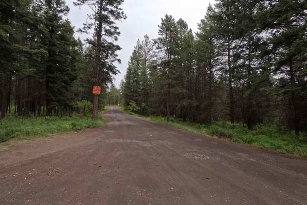
Crampton Road - FS 3120
Crampton Road is a 9.7-mile point-to-point route that begins as a wide gravel road with some mild ruts and larger potholes. As the route climbs, it becomes rougher and rockier, with conditions deteriorating near the upper sections where low-clearance vehicles are not recommended. North of the inters...
Learn more about Crampton Road - FS 3120
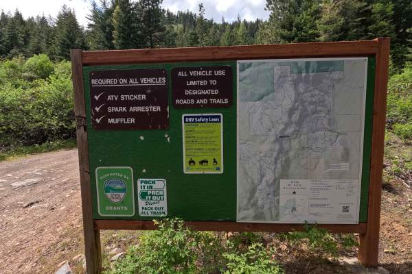
Mount Emily Road - FS 3120520
Mount Emily Road is a 3.6-mile point-to-point dirt route that begins as a wider road in the lower sections before narrowing and becoming more heavily rutted toward the top. The upper sections feature severe rutting that requires 4WD and larger tires to confidently navigate, along with tight shelf ro...
Learn more about Mount Emily Road - FS 3120520
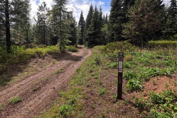
Jeepers Creepers - Trail 260
Jeepers Creepers is a 1.4-mile out-and-back loop trail located within the OHV park. The route is extremely narrow and steep in places, making it best suited for short-wheelbase vehicles. The trail travels out to a loop, circles around, and returns along the same route; keeping left at the start of t...
Learn more about Jeepers Creepers - Trail 260
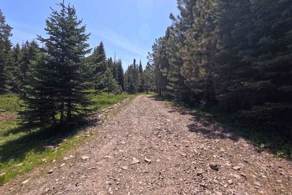
Hawk Eye - Trail 206
Hawk Eye is a 1.4-mile point-to-point trail that provides access to several other routes within the park. The trail is generally smooth and approachable, with some embedded rock mixed throughout the route. Hawk Eye offers an easier 4x4 route through a wooded section of MERA, making it a good connect...
Learn more about Hawk Eye - Trail 206
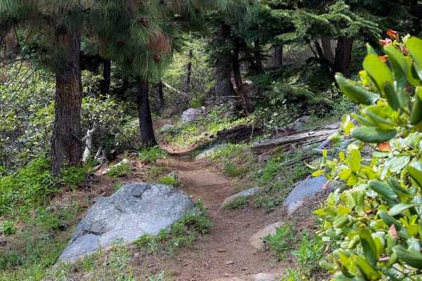
North Knob - Trail 319
Trail 319 is a fast and flowy dirt bike trail through the Mount Emily Recreation Area. It is mostly a smooth dirt trail, not too narrow, that winds through a scenic forest with open meadows and ponderosa pines. It has sweeping corners, mildly shelfy sections, a couple of embedded rocks to add some m...
Learn more about North Knob - Trail 319
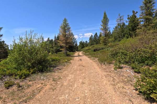
Old Mill - Trail 207
Old Mill is a 1.2-mile point-to-point trail with a dirt surface and several rougher sections featuring large embedded rock. A couple of steep climbs are present along the route, including a steeper section near the middle of the trail with loose dirt that can make traction inconsistent, and a tight ...
Learn more about Old Mill - Trail 207
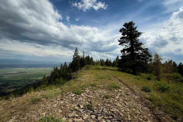
Ridgeline - Trail 320
Ridgeline is a short but very scenic dirt bike trail in the Mount Emily Recreation Area that rides along the edge of the mountain with views overlooking the rural valley below and towards the Wallowa Mountains to the east. The trail is a flowy dirt single track, not too narrow, that starts on the no...
Learn more about Ridgeline - Trail 320
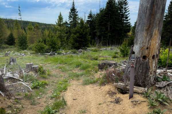
Down Low - Trail 455
Down Low is an easy SxS trail for vehicles 65 inches or less in the Mount Emily Recreation Area. From the south entrance, it descends down from Forest Road 208 into a forest of ponderosa, lodgepole pines, and tall grasses, on an easy dirt track. The track is a bit overgrown with grass, but is mostly...
Learn more about Down Low - Trail 455
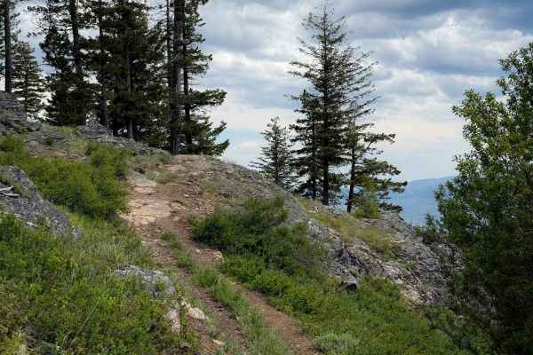
Bingo Bongo - Trail 480
Bingo Bongo is a fun and scenic SxS trail for vehicles 65 inches or less in the Mount Emily Recreation Area. Although short, the trail has some fun curvy rock sections and a scenic view overlooking the mountains, and is one of the more interesting SxS trails in the area. It starts on the west end by...
Learn more about Bingo Bongo - Trail 480
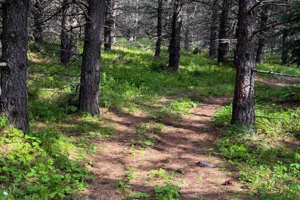
Round About - Trail 406
Round About is an easy SxS trail for vehicles 65 inches or less in the Mount Emily Recreation Area that makes a 1.4-mile-long loop, accessed by Crampton Road. The trail is a bit overgrown with grass and primitive in areas, but still has enough tracks that drivers should be able to follow the loop. I...
Learn more about Round About - Trail 406
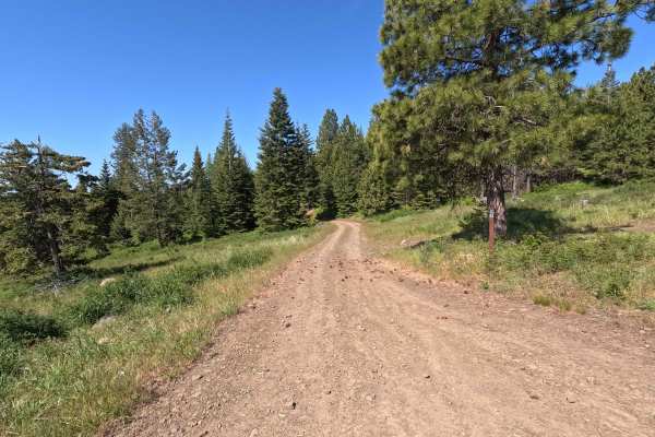
Vaca Loop - Trail 204
Vaca Loop is a 2.3-mile loop trail that can be run in either direction. The route follows a dirt road with some decent-sized potholes, embedded rock, and mild brush encroachment in narrower sections. The trail is generally straightforward, with a mix of smoother sections and rougher patches througho...
Learn more about Vaca Loop - Trail 204
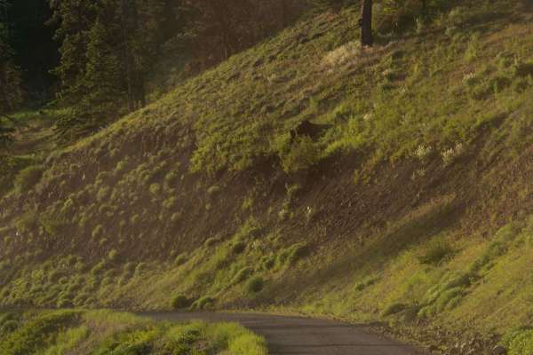
Phillips Creek
Phillips Creek Trail is approximately 10 miles long. It is worth noting that the first 2 miles of this trail are private property owned by CHANDLER GRANDE RONDE RANCH LLC. We were able to drive (slowly and cautiously) through without issue however I am not sure if the gated areas are ever closed. It...
Learn more about Phillips Creek
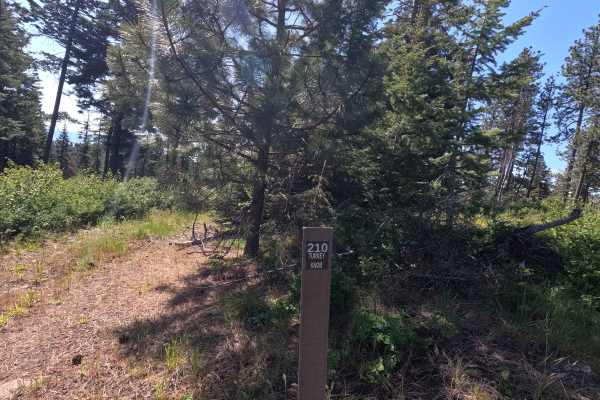
Turkey Knob - Trail 210
Turkey Knob is a short 0.32-mile loop trail that can be difficult to follow in places due to overgrown vegetation. The route features some embedded rock and a small step-up obstacle that is easy to miss if riders are not paying attention. At the main intersection, riders should keep right to climb t...
Learn more about Turkey Knob - Trail 210
ATV trails near Kirkpatrick, Oregon
Explore ATV-friendly trails near you. These trails are accessible for vehicles up to 50 inches wide, perfect for ATVs and smaller off-road machines.
Rock the Ridge
This is a road up a rocky ridge from the valley. You will see blue mountains with views into the valleys below. The road can be challenging as it is rough and rocky. It has a variety of terrain. Both sides of the trail or road are fenced as mostly private property paralleling. There is an opportunit...
Learn more about Rock the Ridge
Black Mountain - FS 3128
Black Mountain Road is a 17.9-mile out-and-back single-lane gravel route. The road is tight and brushy in sections, with areas of larger gravel and occasional potholes that make it unsuitable for low-clearance vehicles. Along the route, there are numerous viewpoints, spur roads, and dispersed campin...
Learn more about Black Mountain - FS 3128
Spring Mountain - FS 3109
Spring Mountain is a 2.8-mile out-and-back route that begins as a wide road before narrowing to a single-lane gravel track. The route features numerous potholes and passes through wide, open grassy areas. The mapped trail ends, but the road continues, with conditions becoming significantly rougher. ...
Learn more about Spring Mountain - FS 3109
Craig's Cabin Road
Craig's Cabin Road is a just under 4-mile trail within Umatilla Forest. This trail is an offshoot of Phillips Creek. The primary trail material is dirt and small loose gravel. This route has a few run-off ruts that are easy to navigate. There is also a small washout section further down the trail. T...
Learn more about Craig's Cabin Road
UTV/side-by-side trails near Kirkpatrick, Oregon
Find UTV and side-by-side trails near you. These trails accommodate vehicles up to 60 inches wide, ideal for UTVs, side-by-sides, and wider off-road rigs.
Rock the Ridge
This is a road up a rocky ridge from the valley. You will see blue mountains with views into the valleys below. The road can be challenging as it is rough and rocky. It has a variety of terrain. Both sides of the trail or road are fenced as mostly private property paralleling. There is an opportunit...
Learn more about Rock the Ridge
Black Mountain - FS 3128
Black Mountain Road is a 17.9-mile out-and-back single-lane gravel route. The road is tight and brushy in sections, with areas of larger gravel and occasional potholes that make it unsuitable for low-clearance vehicles. Along the route, there are numerous viewpoints, spur roads, and dispersed campin...
Learn more about Black Mountain - FS 3128
Spring Mountain - FS 3109
Spring Mountain is a 2.8-mile out-and-back route that begins as a wide road before narrowing to a single-lane gravel track. The route features numerous potholes and passes through wide, open grassy areas. The mapped trail ends, but the road continues, with conditions becoming significantly rougher. ...
Learn more about Spring Mountain - FS 3109
Craig's Cabin Road
Craig's Cabin Road is a just under 4-mile trail within Umatilla Forest. This trail is an offshoot of Phillips Creek. The primary trail material is dirt and small loose gravel. This route has a few run-off ruts that are easy to navigate. There is also a small washout section further down the trail. T...
Learn more about Craig's Cabin Road
The onX Offroad Difference
onX Offroad combines trail photos, descriptions, difficulty ratings, width restrictions, seasonality, and more in a user-friendly interface. Available on all devices, with offline access and full compatibility with CarPlay and Android Auto. Discover what you're missing today!
Open Trail Map