
Dirt Bike Trails
Near Fort Garland, Colorado
Explore All Dirt Bike Trails Near Fort Garland, Colorado
Dirt Bike Trails Near Fort Garland, Colorado
Discover the best dirt bike trails near you. Browse trail maps, check difficulty ratings, and find your next adventure — whether you're looking for a quick ride or an all-day expedition.
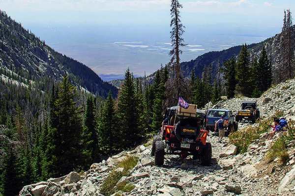
Blanca Peak
Blanca Peak is an legendary, extreme four-wheel-drive trail designed for highly experienced offroaders seeking Colorado's ultimate test of vehicle capability and nerve. Spanning approximately 4.9 miles, this daunting route climbs over 3,200 vertical feet, starting around 8,973 feet and peaking near ...
Learn more about Blanca Peak
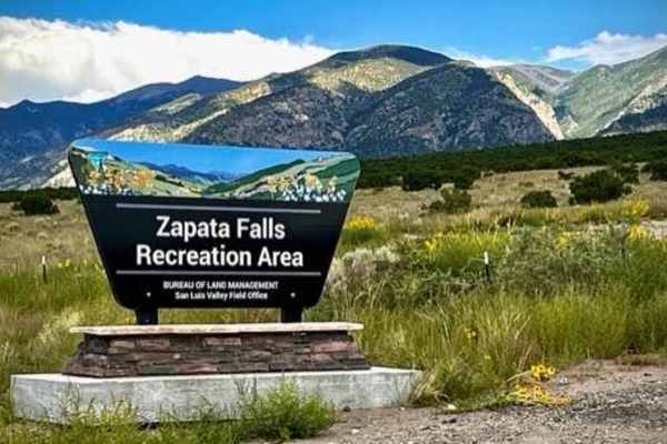
Zapata Falls
This is a short drive over a well-maintained gravel road to Zapata Falls which are really cool to hike to and enjoy. The falls have about a 30' drop, but the section you walk to inside of a cave is much shorter. The walk is about a half mile up the rocks and rapids flowing out of the cave. You ca...
Learn more about Zapata Falls
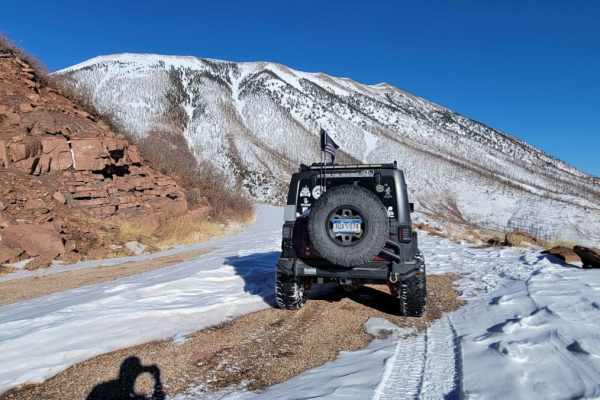
Old La Veta Pass
This trail is an old train route that connected the east and west sides of the Sangre de Cristo mountains until the 1960s when the highway was put in. It is now an unmaintained road with no obstacles. There are several spots where you will traverse over the old paved road that has become little more...
Learn more about Old La Veta Pass
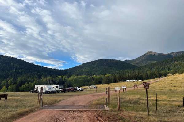
Music Pass Road
This out-and-back trail features moderate elevation gain and travels through a remote area that remains conveniently close to town. The route winds through groves of aspens and old-growth pines, offering scenic forest views. Recently graded, it includes numerous water breaks that may cause undercarr...
Learn more about Music Pass Road
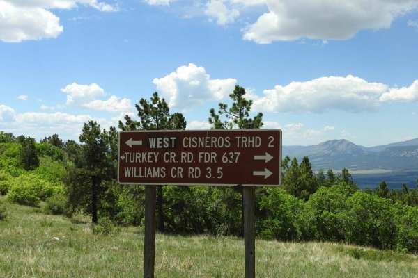
Turkey Creek Forest Road 637
This is an easy winding road that has a few rocky spots that are easy to get around. The road takes you through open meadows and then through forest areas. It has nice views across the Wet Mountain Valley and of the Sangre de Cristo mountain range. During the summer months, there are a lot of cows g...
Learn more about Turkey Creek Forest Road 637
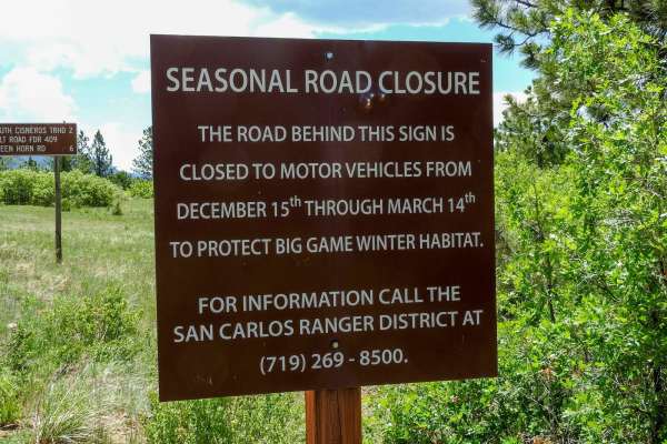
Salt Creek Forest Road 409
At this point, the road changes from an east road to more of a 4x4 road. It becomes steeper, narrower, and more rocky at the beginning. As you get higher up, it levels out some and is less rocky. You will travel through forested areas and some open areas. Towards the top, you will get into a firewoo...
Learn more about Salt Creek Forest Road 409
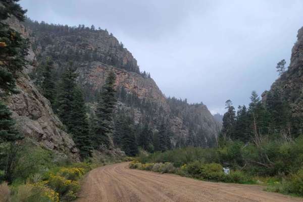
Valle Vidal - FR 1950
This route is a beautiful forest road that takes you into the Carson National Forest/Sangre De Christo Mountains. The beginning of the trail immediately kicks off with stunning, towering rock cliffs on either side as you follow the Costilla Creek up the canyon. For the first few miles, you'll pass t...
Learn more about Valle Vidal - FR 1950
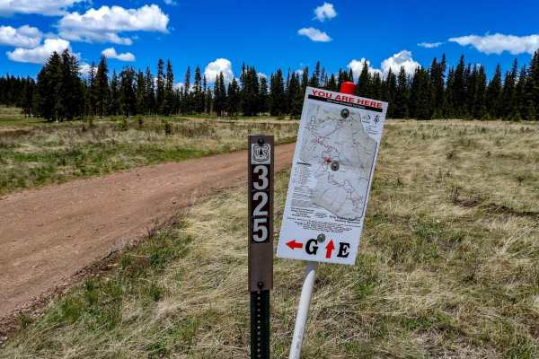
Meadow Divide Road- FSR 325
This is an easy trail that takes you through areas of meadows at the top and bottom with forested areas in the middle. There are spots where there is some logging operation in progress. At the lower meadows in the summer, you will run into cattle grazing. There is a seasonal closure from December 15...
Learn more about Meadow Divide Road- FSR 325
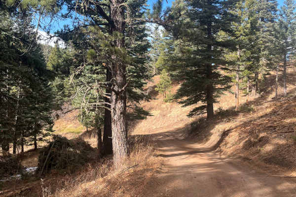
San Carlos Road
This trail is a short, easy out-and-back route that winds through the small elevation changes of the Wet Mountain foothills and offers a good chance of isolation. It contains no major obstacles or water crossings, making it approachable for most users. Ongoing timber work in 2025 has cleared underbr...
Learn more about San Carlos Road
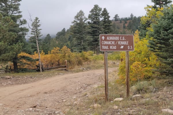
Alvarado Road - CR 140
Located just outside the town of Westcliffe, Colorado, this overland-style trail offers spectacular views of the Sangre de Cristo Mountain Range. Alvarado Road- CR 140 is a maintained, dirt and rock trail that offers access to numerous Hiking, Equestrian, and ATV trails including the Rainbow, Comanc...
Learn more about Alvarado Road - CR 140
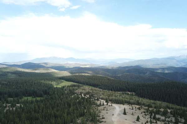
Sawmill Greenie
Sawmill Greenie is a scenic 9.3-mile point-to-point trail starting in Red River, New Mexico, that offers offroaders an alternative, winding route up to the high-altitude panoramic views of Greenie Peak. Perfect for moderately equipped four-wheel-drive vehicles and SxSs, this route begins as a wide, ...
Learn more about Sawmill Greenie

San Antonio Mountain Loop
This is an easy route around the base of the San Antonio Mountain. The ride was pretty with grand vistas, an easy trail, and some wildlife. Not recommended for passenger cars, no winter maintenance. That being said a nice stock 4x4 should have no problem on this scenic loop around the base of the mo...
Learn more about San Antonio Mountain Loop
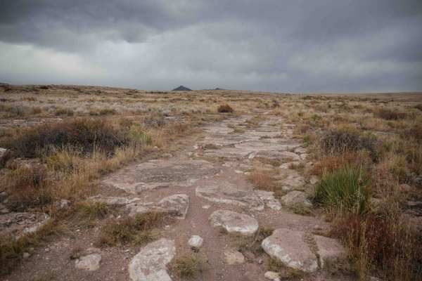
Chillax
Chillax starts at the end of the Loma de San Jose trail and heads west for almost 2 miles until it connects with Valley View. It starts out as a wider track, more like a two-track, with more flat embedded rock surfaces. It's very easy to ride over the rock, and then it's smooth dirt for most of the ...
Learn more about Chillax
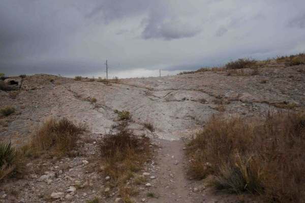
Loma de San Jose
This 2-mile-long single track starts right next to the staging area for the Limekiln area right off Highway 160. It's a skinny trail through the flat sagebrush valley along the base of the mesa. It's very fast and flowy, with wide gradual curves, but mostly straight. It goes on a road for a moment b...
Learn more about Loma de San Jose
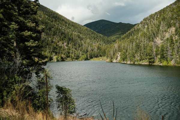
Cabresto Lake - FS 134A
Forest Service Road 134A is a steep, rocky road that leads to Cabresto Lake; it's a beautiful mountain lake surrounded by the high peaks of Carson National Forest. The trail is narrow and consists of sharp rocks no larger than 12 inches in height. High-clearance 4x4 is recommended but high-clearance...
Learn more about Cabresto Lake - FS 134A
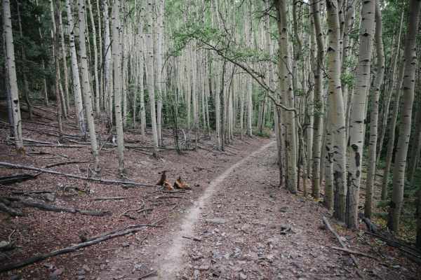
Hot Creek Trail
The Hot Creek Trail in the Rio Grande National Forest starts out in terrain with more of a desert feel with red slab-style rock. It gets into the pine trees and turns into a fast and flowy trail for large sections at a time. It gets wider in sections where there are lots of downed logs and there are...
Learn more about Hot Creek Trail
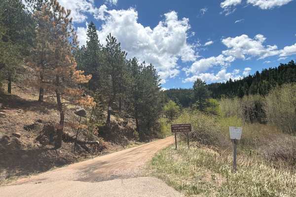
Davenport Campground Gulch Road
Easy dirt road located near San Isabel National Forest off Colorado Highway 165 near the historic Bishop Castle area. Davenport Campground Gulch Road travels through dense forest, open mountain meadows, and peaceful backcountry terrain, providing access to the historic Davenport Campground and sever...
Learn more about Davenport Campground Gulch Road
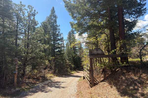
Meade Road
Easy-to-moderate, out-and-back dirt road located outside the town of Beulah, Colorado. The trail is off Colorado Route 78 and winds through scenic forest terrain within the San Isabel National Forest. The route is generally suitable for most offroad vehicles and provides access to dispersed recreati...
Learn more about Meade Road
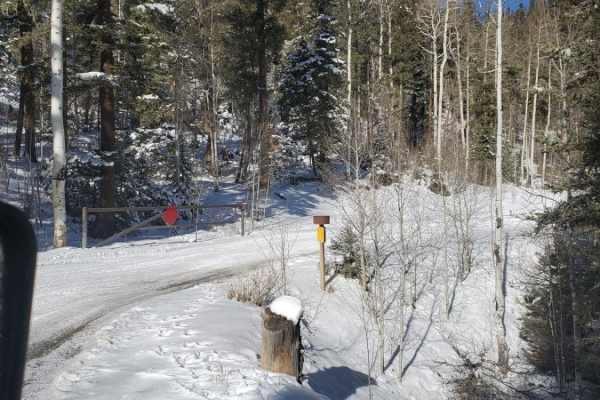
Greenie East
This trail starts up Marlette Canyon before splitting off from Sawmill Trail. It then splits again from the most direct and well marked route to the peak, dropping back down into a drainage, before climbing back up and around to follow the crest of the ridge. It rejoins the direct route just before ...
Learn more about Greenie East
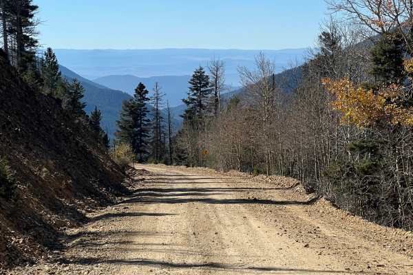
Sawmill
This is a rough and rocky mountain road that climbs high into the mountains of Carson National Forest. The route is generally easy with no technical obstacles and can be traveled in either direction. It offers excellent scenery and connects with several other notable off-road trails in the Red River...
Learn more about Sawmill
ATV trails near Fort Garland, Colorado
Explore ATV-friendly trails near you. These trails are accessible for vehicles up to 50 inches wide, perfect for ATVs and smaller off-road machines.
Blanca Peak
Blanca Peak is an legendary, extreme four-wheel-drive trail designed for highly experienced offroaders seeking Colorado's ultimate test of vehicle capability and nerve. Spanning approximately 4.9 miles, this daunting route climbs over 3,200 vertical feet, starting around 8,973 feet and peaking near ...
Learn more about Blanca Peak
Old La Veta Pass
This trail is an old train route that connected the east and west sides of the Sangre de Cristo mountains until the 1960s when the highway was put in. It is now an unmaintained road with no obstacles. There are several spots where you will traverse over the old paved road that has become little more...
Learn more about Old La Veta Pass
Music Pass Road
This out-and-back trail features moderate elevation gain and travels through a remote area that remains conveniently close to town. The route winds through groves of aspens and old-growth pines, offering scenic forest views. Recently graded, it includes numerous water breaks that may cause undercarr...
Learn more about Music Pass Road
Turkey Creek Forest Road 637
This is an easy winding road that has a few rocky spots that are easy to get around. The road takes you through open meadows and then through forest areas. It has nice views across the Wet Mountain Valley and of the Sangre de Cristo mountain range. During the summer months, there are a lot of cows g...
Learn more about Turkey Creek Forest Road 637
UTV/side-by-side trails near Fort Garland, Colorado
Find UTV and side-by-side trails near you. These trails accommodate vehicles up to 60 inches wide, ideal for UTVs, side-by-sides, and wider off-road rigs.
Blanca Peak
Blanca Peak is an legendary, extreme four-wheel-drive trail designed for highly experienced offroaders seeking Colorado's ultimate test of vehicle capability and nerve. Spanning approximately 4.9 miles, this daunting route climbs over 3,200 vertical feet, starting around 8,973 feet and peaking near ...
Learn more about Blanca Peak
Old La Veta Pass
This trail is an old train route that connected the east and west sides of the Sangre de Cristo mountains until the 1960s when the highway was put in. It is now an unmaintained road with no obstacles. There are several spots where you will traverse over the old paved road that has become little more...
Learn more about Old La Veta Pass
Music Pass Road
This out-and-back trail features moderate elevation gain and travels through a remote area that remains conveniently close to town. The route winds through groves of aspens and old-growth pines, offering scenic forest views. Recently graded, it includes numerous water breaks that may cause undercarr...
Learn more about Music Pass Road
Turkey Creek Forest Road 637
This is an easy winding road that has a few rocky spots that are easy to get around. The road takes you through open meadows and then through forest areas. It has nice views across the Wet Mountain Valley and of the Sangre de Cristo mountain range. During the summer months, there are a lot of cows g...
Learn more about Turkey Creek Forest Road 637
The onX Offroad Difference
onX Offroad combines trail photos, descriptions, difficulty ratings, width restrictions, seasonality, and more in a user-friendly interface. Available on all devices, with offline access and full compatibility with CarPlay and Android Auto. Discover what you're missing today!
Open Trail Map