
Dirt Bike Trails
Near Fence Lake, New Mexico
Explore All Dirt Bike Trails Near Fence Lake, New Mexico
Dirt Bike Trails Near Fence Lake, New Mexico
Discover the best dirt bike trails near you. Browse trail maps, check difficulty ratings, and find your next adventure — whether you're looking for a quick ride or an all-day expedition.
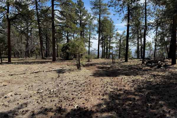
Top Tank Trail #5
This is a 3-mile-long ATV trail through the Gila National Forest. The west entrance is marked as Trail #5, but does not specify the width designation, so it looks like this trail gets inadvertently used by wider vehicles. The beginning is wide and graded, smooth and maintained. It narrows up from th...
Learn more about Top Tank Trail #5
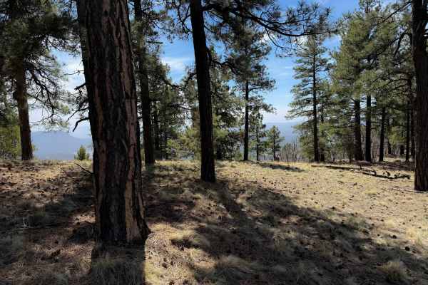
Gallo Peak Trail #6
Gallo Peak spurs off of Top Tank Trail and goes south for 1.4 miles. It is generally a wide path through a dry and sparse pine forest, often covered in scattered loose rocks. It goes through a fence and traverses up a hill towards a view overlooking the mountains at a flat spot that could be used as...
Learn more about Gallo Peak Trail #6
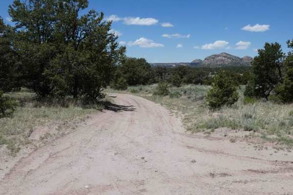
Lone Mountain FS312
Lone Mountain is a spur that leads to the foothills of Lone Mountain and Castle Dome just to the west of the Sawtooth trail. The trail is primarily soft dirt and sand that will be extremely muddy after rain or snow melt. The road is primarily single-vehicle wide with room to pass in areas where open...
Learn more about Lone Mountain FS312
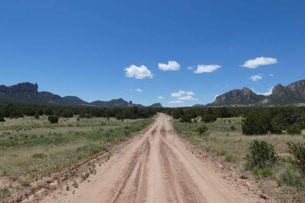
Sawtooth FS6A
Sawtooth is located at the most western portion of the Datil Mountain range in Cibola National Forest and will be easily driven by most vehicles including passenger cars. The road is very well maintained with minor rutting being the only obstacles. The road is wide enough for two vehicles and is pri...
Learn more about Sawtooth FS6A
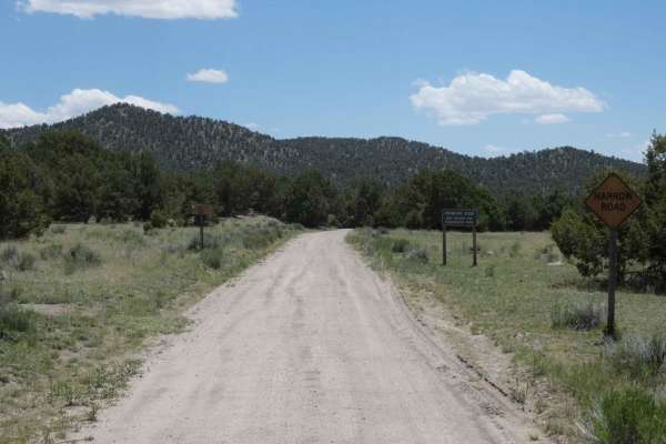
Swingle Canyon FS62
Swingle Canyon can be run from either the west off Slash Draw/FS63 or from the east off Highway 60. Coming from the east expect some loose, rocky ascents with some obstacles being close to 12" in size and becoming easier and more dirt as you move further east. Starting from the west end you will en...
Learn more about Swingle Canyon FS62
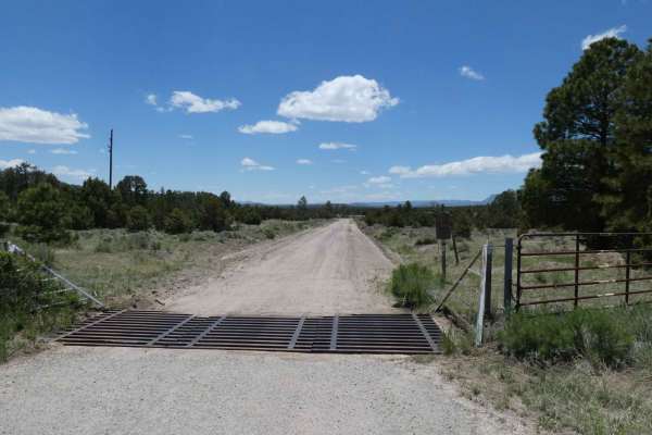
Slash Draw
This road will be easily completed by most vehicles including passenger cars when dry. However, due to the soft dirt surface, expect mud and rutting after rains or snow melt. The road is very well maintained and is wide enough for two vehicles and provides wide open views. There are some motorized s...
Learn more about Slash Draw
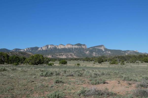
Davenport Canyon FS6
This out-and-back trail runs through the central portion of the Datil Mountain Range and offers a little bit of everything from dirt and rocks to low-level washes that have the potential to be water crossings after heavy rains or snow melt. There are areas that show signs of erosion and heavy ruttin...
Learn more about Davenport Canyon FS6
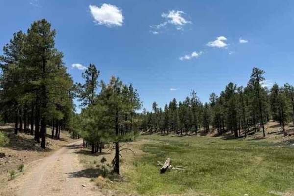
Meadow Loop
This loop takes you from Arizona into New Mexico crossing the border line. The trail surface is smooth with occasional small potholes. This trail passes by many meadows surrounded by tall pine trees. You will find many cows grazing and some natural springs in the area as well.
Learn more about Meadow Loop
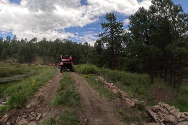
Homestead Loop
The Homestead Loop covers serene trails starting in Arizona and a brief pass through New Mexico before returning to State 48. Flanked by tall trees and grassy fields, the route is smooth with some sections that may require high clearance 4WD, depending on the season and road conditions. There are tw...
Learn more about Homestead Loop
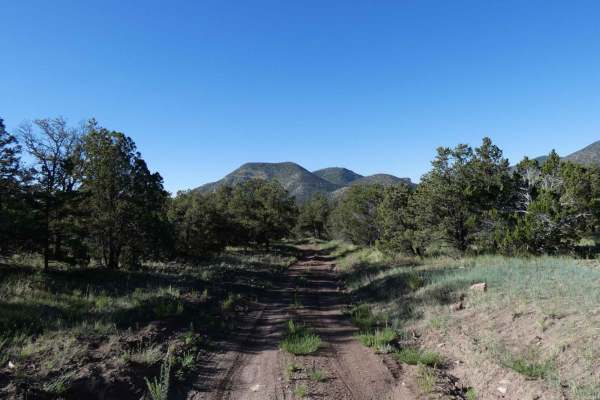
Crosby Canyon FS66
Crosby Canyon is located just west of the Village of Datil, NM, and connects Highway 60 to Highway 12 and can be run from either direction. Starting from the Highway 60 side the trail begins on a well-maintained section of the road before turning to a more primitive surface then back to being well-m...
Learn more about Crosby Canyon FS66
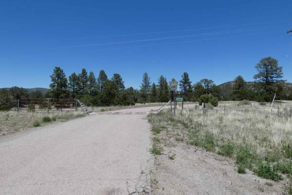
Drag A FS100
Drag A/FSR100 begins passing a public library and a small abandoned house. The dirt road begins just over single vehicle wide and narrows with little room to pass as the trail continues on with areas of heavy erosion, rutting, and off-camber sections. The out-and-back trail does have some open views...
Learn more about Drag A FS100
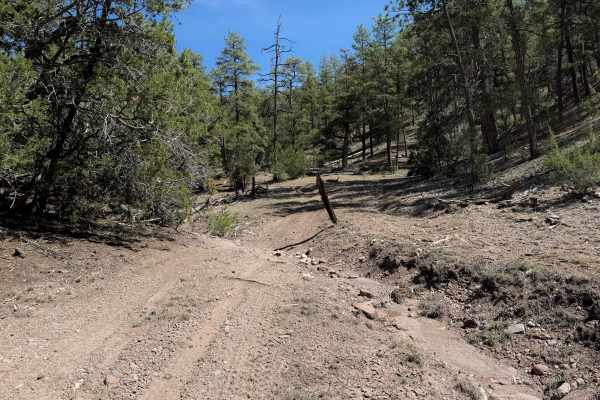
952
952 is an easy ATV trail that goes through the Gila National Forest for over 4 miles near Apache Creek, New Mexico. It’s mostly a dirt two-track that is pretty wide, meandering through a dry and sparse ponderosa forest, through wide open grassy glades. The trail goes through several cattle gates and...
Learn more about 952
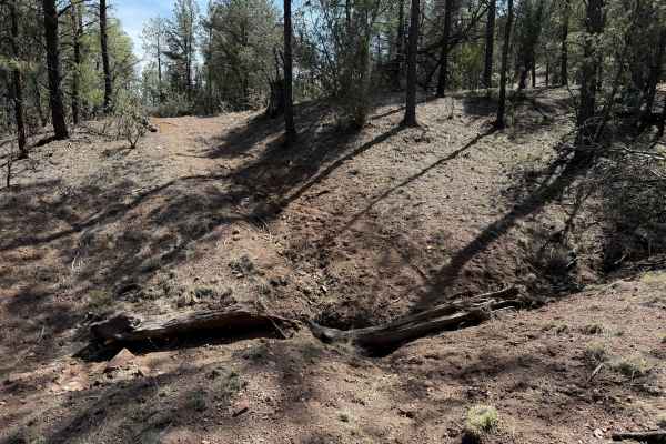
953
Trail 953 is a faint two-track through a grassy and rutted forest floor, with a few tracks to help follow the route, but it looks very minimally trafficked. It starts and ends off of #952, going through a dry and sparse ponderosa pine forest. There are some small ruts right away on the north end. Ov...
Learn more about 953
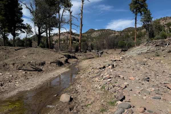
954
ATV trail 954 is an interesting out-and-back spur off of #952 that goes through Pole Water Gap Canyon. Most of the trail is an easy two-track that curves through the dry and sparse ponderosa pine forest; however, it is pretty faint and a lightly trafficked route, requiring some good navigational ski...
Learn more about 954
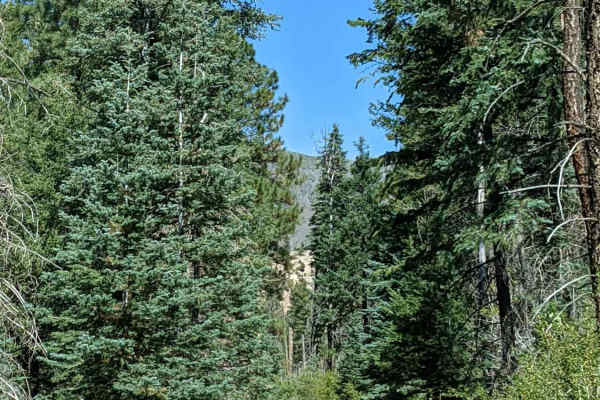
Paddy Creek
This is a narrow trail mostly suited for ATVs and small 4x4s due to the creek crossing between two large trees. My Jeep Wrangler JLU did fine, but we had to get creative to get through some narrowly spaced trees. Although short in distance, the scenery is beautiful, and wildlife viewing is highly p...
Learn more about Paddy Creek
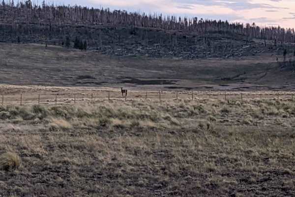
Escudilla Mountain
This route takes you from US 180/191 up to Terry Flat on the Escudilla Mountains. It passes by Hulsey Lake, a quiet fishing spot, is also along the route. It is also the route to take to the Escudilla Lookout Trail. The loop continues and returns back down to US 180/191 to the point of beginning. Th...
Learn more about Escudilla Mountain
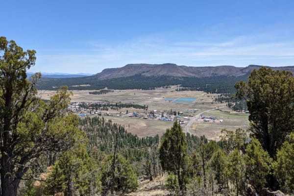
Alpine Memorial Overlook
This track takes you from the Alpine Divide behind Tal-Wi-Wi up on the mountain behind the town of Alpine. At the end of the trail there are memorials in the form of a flag pole with an American flag flying year around. Other small memorials to friends, veterans and pets can be found scattered in th...
Learn more about Alpine Memorial Overlook
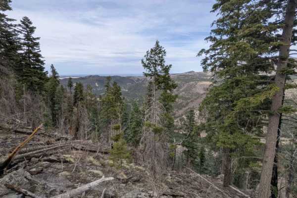
Noble Mountain
This trail travels above the Alpine Divide and along a head of the San Francisco River. Much of this area was burned out in the Bear Wallow fire of 2011. Although the scarred area itself is not visually appealing, the lack of trees in areas provides for stunning unobstructed views of the many mounta...
Learn more about Noble Mountain
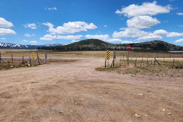
Carnero Lake
Take a beautiful drive from Highway 260 to FR 118 up north. You'll pass through wide-open meadows and dense forests of pine and aspen on a moderately bumpy gravel road with some small washouts. Along the way, you'll find cool spots to camp and fun side paths, including a stop at Greens Peak lookout ...
Learn more about Carnero Lake
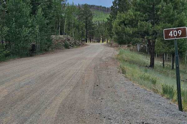
FS 409
Forest Service Road 409 is one of the better roads connecting State Route 273 to State Route 261. It is a well-maintained gravel road with many excellent places to dry camp and beautiful views of open meadows. There are remnants of an old homestead about halfway up the trail that are interesting to ...
Learn more about FS 409
ATV trails near Fence Lake, New Mexico
Explore ATV-friendly trails near you. These trails are accessible for vehicles up to 50 inches wide, perfect for ATVs and smaller off-road machines.
Top Tank Trail #5
This is a 3-mile-long ATV trail through the Gila National Forest. The west entrance is marked as Trail #5, but does not specify the width designation, so it looks like this trail gets inadvertently used by wider vehicles. The beginning is wide and graded, smooth and maintained. It narrows up from th...
Learn more about Top Tank Trail #5
Gallo Peak Trail #6
Gallo Peak spurs off of Top Tank Trail and goes south for 1.4 miles. It is generally a wide path through a dry and sparse pine forest, often covered in scattered loose rocks. It goes through a fence and traverses up a hill towards a view overlooking the mountains at a flat spot that could be used as...
Learn more about Gallo Peak Trail #6
Lone Mountain FS312
Lone Mountain is a spur that leads to the foothills of Lone Mountain and Castle Dome just to the west of the Sawtooth trail. The trail is primarily soft dirt and sand that will be extremely muddy after rain or snow melt. The road is primarily single-vehicle wide with room to pass in areas where open...
Learn more about Lone Mountain FS312
Sawtooth FS6A
Sawtooth is located at the most western portion of the Datil Mountain range in Cibola National Forest and will be easily driven by most vehicles including passenger cars. The road is very well maintained with minor rutting being the only obstacles. The road is wide enough for two vehicles and is pri...
Learn more about Sawtooth FS6A
UTV/side-by-side trails near Fence Lake, New Mexico
Find UTV and side-by-side trails near you. These trails accommodate vehicles up to 60 inches wide, ideal for UTVs, side-by-sides, and wider off-road rigs.
Lone Mountain FS312
Lone Mountain is a spur that leads to the foothills of Lone Mountain and Castle Dome just to the west of the Sawtooth trail. The trail is primarily soft dirt and sand that will be extremely muddy after rain or snow melt. The road is primarily single-vehicle wide with room to pass in areas where open...
Learn more about Lone Mountain FS312
Sawtooth FS6A
Sawtooth is located at the most western portion of the Datil Mountain range in Cibola National Forest and will be easily driven by most vehicles including passenger cars. The road is very well maintained with minor rutting being the only obstacles. The road is wide enough for two vehicles and is pri...
Learn more about Sawtooth FS6A
Swingle Canyon FS62
Swingle Canyon can be run from either the west off Slash Draw/FS63 or from the east off Highway 60. Coming from the east expect some loose, rocky ascents with some obstacles being close to 12" in size and becoming easier and more dirt as you move further east. Starting from the west end you will en...
Learn more about Swingle Canyon FS62
Slash Draw
This road will be easily completed by most vehicles including passenger cars when dry. However, due to the soft dirt surface, expect mud and rutting after rains or snow melt. The road is very well maintained and is wide enough for two vehicles and provides wide open views. There are some motorized s...
Learn more about Slash Draw
The onX Offroad Difference
onX Offroad combines trail photos, descriptions, difficulty ratings, width restrictions, seasonality, and more in a user-friendly interface. Available on all devices, with offline access and full compatibility with CarPlay and Android Auto. Discover what you're missing today!
Open Trail Map