
Dirt Bike Trails
Near Desert Palms, California
Explore All Dirt Bike Trails Near Desert Palms, California
Dirt Bike Trails Near Desert Palms, California
Discover the best dirt bike trails near you. Browse trail maps, check difficulty ratings, and find your next adventure — whether you're looking for a quick ride or an all-day expedition.
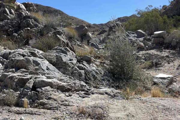
Fargo Canyon
Conquer Fargo Canyon near Coachella, California (yes, the Coachella/Stagecoach music festival on the West Coast.) A challenging and exciting adventure awaits you on Fargo Canyon, located just north of I-10 east of Indio, California. Find the trailhead at the end of paved Fargo Canyon Road. Here's yo...
Learn more about Fargo Canyon
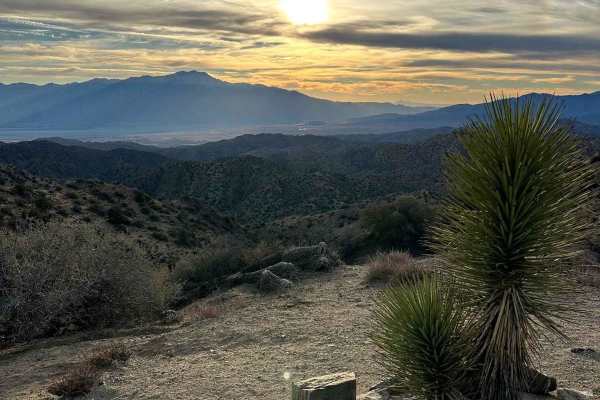
Eureka Peak
This trail takes you to Eureka Peak, which is a mountain top viewpoint allowing you to have a 360-degree view of the area from a high elevation. There are hiking trails throughout this area and one that will take you to the very top of Eureka Peak with just a few hundred feed of walking. There may b...
Learn more about Eureka Peak
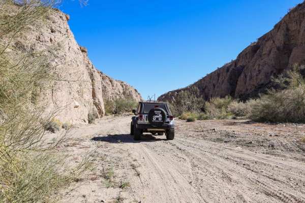
Little Box Canyon Meccacopia Loop
Hidden in the Mecca Hills just South of Joshua Tree National Park is a fun little trail that winds you through tight canyon washes surrounded by high vertical cliffs of up to 40 feet. The Little Box Canyon Trail is like a baby version of the famous Sandstone Canyon Trail in Anza Borrego. There is on...
Learn more about Little Box Canyon Meccacopia Loop
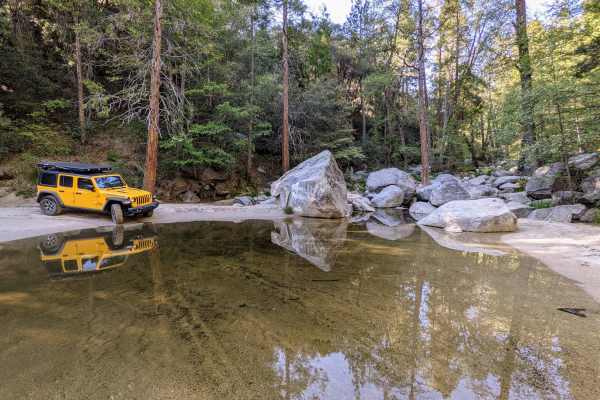
San Jacinto Ridge Trail (FS 5S09)
San Jacinto Ridge is a two-way trail running East to West between the Banning-Idyllwild Panoramic Highway (SR 243) and Bee Canyon Road (FS 5S07) in the San Bernardino National Forest. Comprised of mostly hard-pack dirt, the trail weaves through chaparral and pine trees and crosses over the North for...
Learn more about San Jacinto Ridge Trail (FS 5S09)
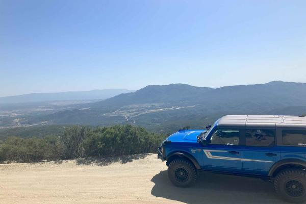
Thomas Mountain West Approach
This trail connects the Rouse Ridge via Cottonwood trail to the Thomas Mountain Campground via the western end of Thomas Mountain Road. During dry months, the trail is an easily passable dirt road, requiring only moderate clearance to pass over occasional ruts and drainage control berms running acro...
Learn more about Thomas Mountain West Approach
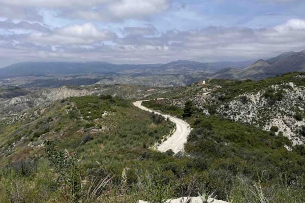
Rouse Hill
Rouse Hill is a ridgeline trail with tremendous west and east views. This trail is predominately hard-packed dirt with a loose top layer. It can be a bit sandy in some sections but that will typically only be an issue for 2-wheel vehicles. The trail is only single vehicle wide in some places and som...
Learn more about Rouse Hill
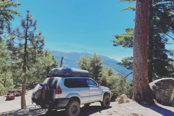
Black Mountain Road
This is an easy trail that most stock vehicles could tackle. There are some really beautiful views, and the high point is the lookout, which gives a breathtaking view of the sunset. There are 5 or 6 yellow post camping sites on the way up.
Learn more about Black Mountain Road
Black Mountain
This well-maintained fire road takes you up to boulder basin group campsite. On the way there, you'll see some turn-outs for rock climbing and overlanding. During the winter months, trails may be impassable due to snow. Almost all vehicles could make the drive. There is cell service if needed. If yo...
Learn more about Black Mountain
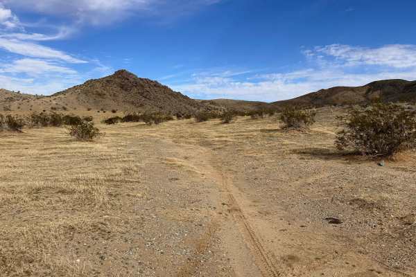
JNF Lower Copper Mountain Line
This trail kicks off on the southern section of the designated BLM area and is a great way to work your way toward the central part of the zone. You’ll ride a mix of dirt roads, sandy stretches, and a few small elevation climbs that keep things interesting without getting too technical. It flows wel...
Learn more about JNF Lower Copper Mountain Line
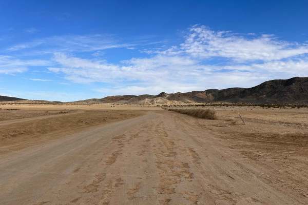
JNP Camping Area Entry
This BLM dispersed camping area is a solid go-to if you’re riding near Joshua Tree National Forest. There’s plenty of room to stage, camp, and spread out with your crew without feeling cramped. This trail works as one of the main entry points and loops into several offshoots that connect to other fu...
Learn more about JNP Camping Area Entry
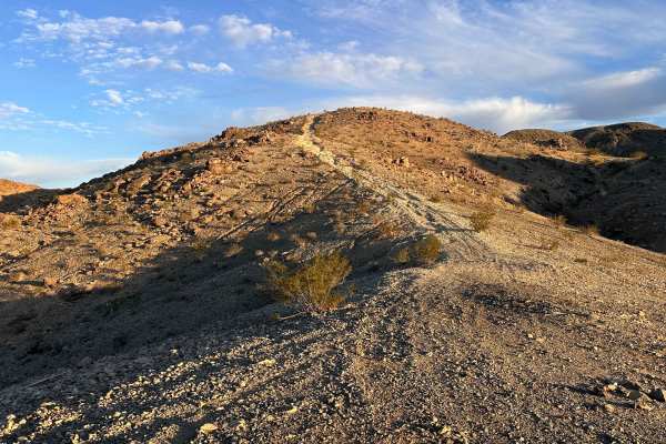
Roundabout Rim
This technical hill climb is conveniently located right on the front-facing section of the BLM area, making it an easy strike from the main camping grounds. The ascent is rewarding, offering some killer views once you gain a bit of altitude. Keep your eyes peeled as you reach the end of the trail be...
Learn more about Roundabout Rim
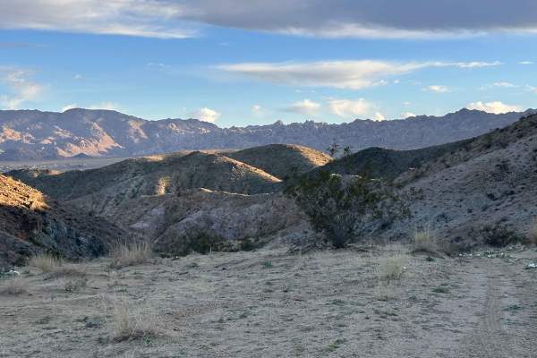
Table Ridge
This desert run is all about speed and flow, featuring plenty of fast sections that let you really open things up. You are going to hit some larger sandy stretches where having a bit of extra power is key to reaching the top of the hills without bogging down. The trail is framed by some impressive c...
Learn more about Table Ridge
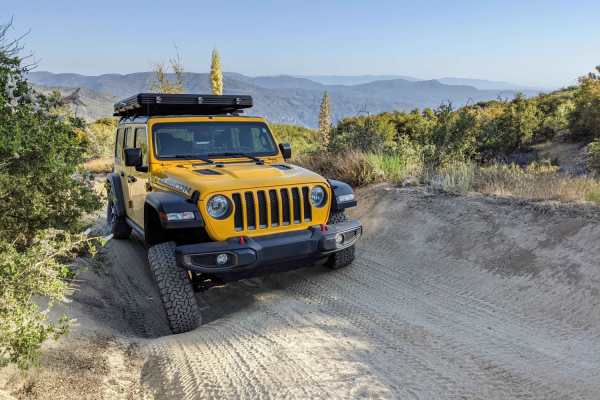
Indian Mountain Trail
Indian Mountain is a two-way trail between the Banning-Idyllwild Panoramic Highway (SR 243) and the San Jacinto Ridge Trail (FS 5S09) in the San Bernardino National Forest. Comprised of mostly hard-pack dirt, the trail weaves through chaparral and pine trees to the summit of Indian Mountain at 5,790...
Learn more about Indian Mountain Trail
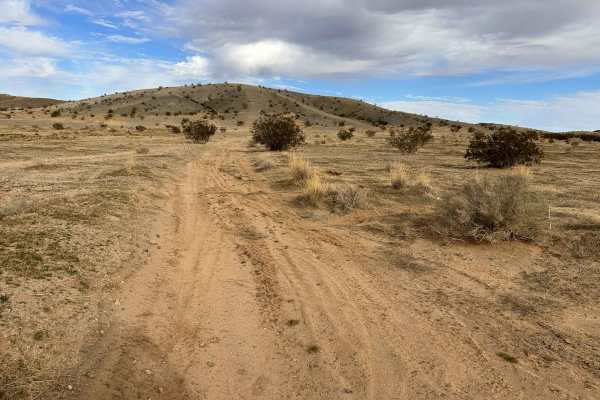
Romp Route
This trail serves as a central entry point to the network of surrounding trails and is one of the most commonly used routes in the area. Being centrally located, you’ll likely share it with campers, riders, and other offroad traffic throughout the day. It has a nice flow with good width and only a f...
Learn more about Romp Route
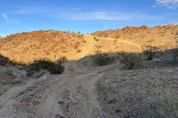
Copper Canyon
This trail runs right along the outskirts of the BLM boundaries, so you will want to keep a close eye on the OnX Offroad app to stay within the lines. It offers some great elevation changes with rewarding hill climbs that lead to several impressive lookout points across the valley. You will find a s...
Learn more about Copper Canyon
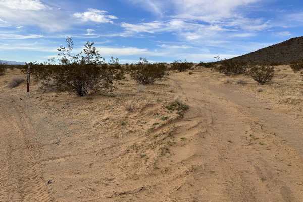
Widows Wash
This rarely visited connector offers a unique desert landscape filled with blooming winter flowers and native plants. You will find yourself navigating a technical mix of deep sand and shifting loose rocks that keep you on your toes. There is a particularly rugged wash area where bikes can squeeze t...
Learn more about Widows Wash
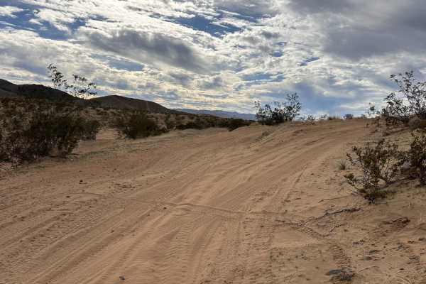
Sand to Stars
This is a great little trail section that takes you from the lower sand wash area straight to the top of the nearby hill. The start is steep and slightly technical, but manageable with steady throttle and good line choice. Once you’re moving, it turns into a fun climb that rewards you with great vie...
Learn more about Sand to Stars
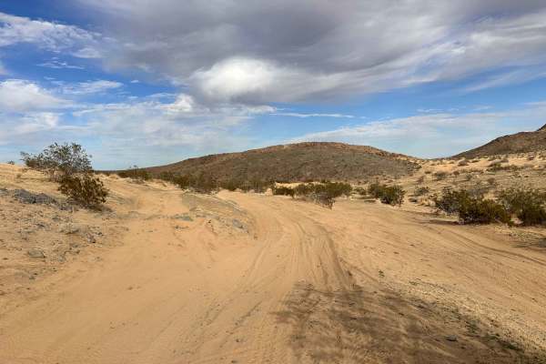
Wish & Wash
This fun, flowy road and wash section runs through the lower basin of the trail system and makes for an enjoyable cruise between other routes. It’s a great spot to relax into the ride, with wide open stretches mixed with sandy wash areas. This part of the system tends to see more traffic, so keep an...
Learn more about Wish & Wash
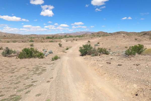
Mecca Orocopia Jeep Trail
This is the Mecca Orocopia Trail, a connection to the Little Box Canyon Meccacopia Loop. This is an easy dirt road trail where you can admire the beautiful views of the Orocopia mountains. There is nothing challenging about this route;it's perfect for dirt bikes, UTVs, and 2WD rides. It's great for ...
Learn more about Mecca Orocopia Jeep Trail
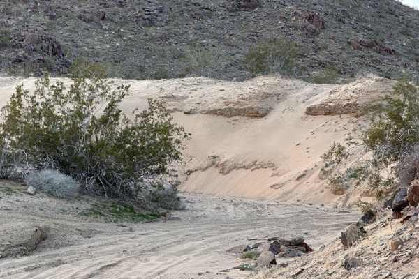
East Entry
This trail is a fantastic way to enter the BLM land from the east, offering a really nice mix of packed dirt and flowy sand. You will find plenty of rhythm on the main path, but there are also some fun technical offshoots on the side if you want to spice up your transitions. It is one of those route...
Learn more about East Entry
ATV trails near Desert Palms, California
Explore ATV-friendly trails near you. These trails are accessible for vehicles up to 50 inches wide, perfect for ATVs and smaller off-road machines.
Eureka Peak
This trail takes you to Eureka Peak, which is a mountain top viewpoint allowing you to have a 360-degree view of the area from a high elevation. There are hiking trails throughout this area and one that will take you to the very top of Eureka Peak with just a few hundred feed of walking. There may b...
Learn more about Eureka Peak
San Jacinto Ridge Trail (FS 5S09)
San Jacinto Ridge is a two-way trail running East to West between the Banning-Idyllwild Panoramic Highway (SR 243) and Bee Canyon Road (FS 5S07) in the San Bernardino National Forest. Comprised of mostly hard-pack dirt, the trail weaves through chaparral and pine trees and crosses over the North for...
Learn more about San Jacinto Ridge Trail (FS 5S09)
Thomas Mountain West Approach
This trail connects the Rouse Ridge via Cottonwood trail to the Thomas Mountain Campground via the western end of Thomas Mountain Road. During dry months, the trail is an easily passable dirt road, requiring only moderate clearance to pass over occasional ruts and drainage control berms running acro...
Learn more about Thomas Mountain West Approach
Black Mountain Road
This is an easy trail that most stock vehicles could tackle. There are some really beautiful views, and the high point is the lookout, which gives a breathtaking view of the sunset. There are 5 or 6 yellow post camping sites on the way up.
Learn more about Black Mountain Road
UTV/side-by-side trails near Desert Palms, California
Find UTV and side-by-side trails near you. These trails accommodate vehicles up to 60 inches wide, ideal for UTVs, side-by-sides, and wider off-road rigs.
Eureka Peak
This trail takes you to Eureka Peak, which is a mountain top viewpoint allowing you to have a 360-degree view of the area from a high elevation. There are hiking trails throughout this area and one that will take you to the very top of Eureka Peak with just a few hundred feed of walking. There may b...
Learn more about Eureka Peak
San Jacinto Ridge Trail (FS 5S09)
San Jacinto Ridge is a two-way trail running East to West between the Banning-Idyllwild Panoramic Highway (SR 243) and Bee Canyon Road (FS 5S07) in the San Bernardino National Forest. Comprised of mostly hard-pack dirt, the trail weaves through chaparral and pine trees and crosses over the North for...
Learn more about San Jacinto Ridge Trail (FS 5S09)
Thomas Mountain West Approach
This trail connects the Rouse Ridge via Cottonwood trail to the Thomas Mountain Campground via the western end of Thomas Mountain Road. During dry months, the trail is an easily passable dirt road, requiring only moderate clearance to pass over occasional ruts and drainage control berms running acro...
Learn more about Thomas Mountain West Approach
JNF Lower Copper Mountain Line
This trail kicks off on the southern section of the designated BLM area and is a great way to work your way toward the central part of the zone. You’ll ride a mix of dirt roads, sandy stretches, and a few small elevation climbs that keep things interesting without getting too technical. It flows wel...
Learn more about JNF Lower Copper Mountain Line
The onX Offroad Difference
onX Offroad combines trail photos, descriptions, difficulty ratings, width restrictions, seasonality, and more in a user-friendly interface. Available on all devices, with offline access and full compatibility with CarPlay and Android Auto. Discover what you're missing today!
Open Trail Map