
Dirt Bike Trails
Near Delta, Colorado
Explore All Dirt Bike Trails Near Delta, Colorado
Dirt Bike Trails Near Delta, Colorado
Discover the best dirt bike trails near you. Browse trail maps, check difficulty ratings, and find your next adventure — whether you're looking for a quick ride or an all-day expedition.
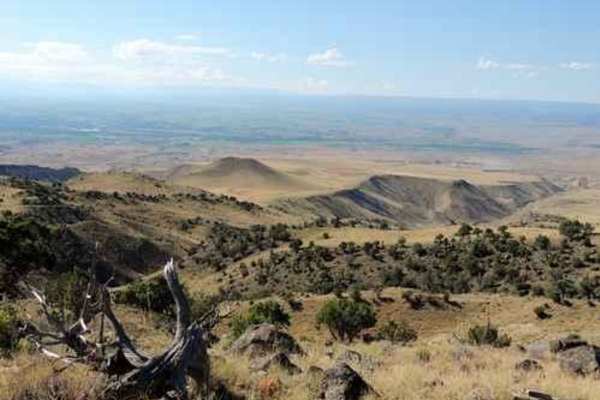
Alkali Basin
Alkali Basin Loop is a 26.8-mile off-road route north of Delta, Colorado, climbing from the high desert into the Grand Mesa foothills. Connecting the Alkali Basin Trail on the west with the Pipeline West Trail on the east, the loop reaches a peak elevation of 8,635 feet. The western climb is rated a...
Learn more about Alkali Basin
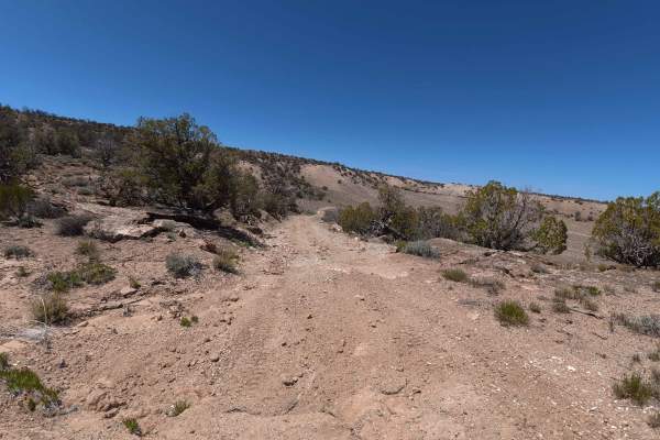
Denca Road
Denca Road is a highly scenic, moderately challenging 6.7-mile backcountry transit that begins directly off the main E 23 route. Welcoming a wide variety of outdoor enthusiasts—including passenger cars, trucks, side-by-sides, and horseback riders—the trail kicks off at a convenient, medium-sized dir...
Learn more about Denca Road
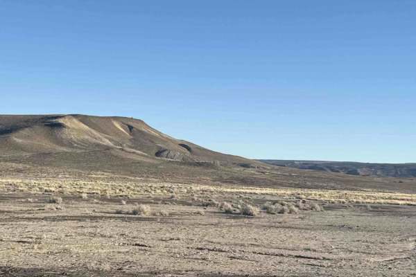
Munition Hill
Munition Hill is a highly scenic, 1.2-mile open trail that invites a wide variety of explorers, from horseback riders and hikers to drivers of side-by-sides, motorcycles, and all street-legal vehicles. The journey begins with an exciting, steep rocky descent characterized by moderate ruts ranging fr...
Learn more about Munition Hill
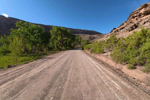
Escalante Canyon Road
Escalante Canyon is a beautifully scenic, highly accessible 6.7-mile route that begins immediately off the paved highway, welcoming off-road explorers with a massive, hard-packed dirt staging area easily capable of accommodating up to 60 vehicles and large trailers. This exceptionally smooth, recent...
Learn more about Escalante Canyon Road
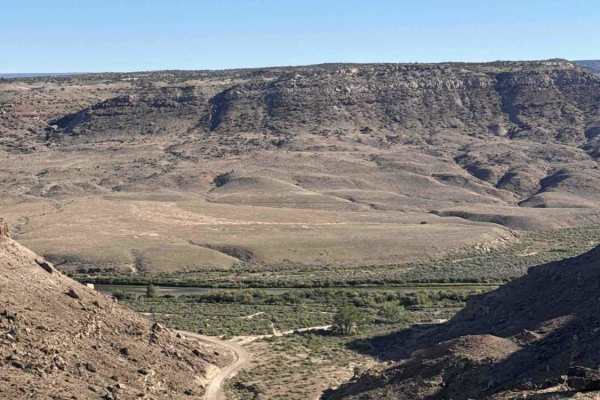
76 Road
76 Road is a highly accessible and scenic 1.2-mile dirt trail that begins near a sprawling staging area close to the main entrance. Immediately along the start of the route, visitors will find a convenient campground. The early sections of this path are characterized by smooth, effortless travel con...
Learn more about 76 Road
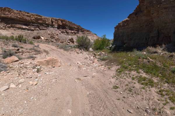
Denca Road Spur A
Beginning directly off Route 737, Denca Road Spur A is a beautifully secluded, outback-style route open to hikers, horseback riders, mountain bikers, passenger cars, and side-by-sides. This highly scenic 3.1-mile path winds quietly through rolling desert hills dotted with sparse, fragrant brush and...
Learn more about Denca Road Spur A

Gunnison Gorge South River Road
Just outside of Delta Colorado, inside Gunnison Gorge National Conservation Area you'll find a beat up gravel road that leads you down to the Gunnison river. Most SUV's and trucks will not have an issue navigating the narrow steep road down to the river floor. Once down on the river, you'll have a v...
Learn more about Gunnison Gorge South River Road

Smith Mountain Jeep Road Overlook
Smith Mountain Jeep Road Overlook is an ideal route for scenic explorers and moderate offroaders seeking panoramic views of the rugged Gunnison River canyon. Located just outside Delta, Colorado, within the Gunnison Gorge National Conservation Area, this unmaintained 4.3-mile trail leads travelers o...
Learn more about Smith Mountain Jeep Road Overlook
Munition Road
Munition Road is a highly scenic, moderately technical 1.6-mile trail situated directly off the main highway, serving as a vital, connective artery to numerous other prominent trails in the surrounding network. As you embark on this journey, the trail immediately points you toward a majestic, loomin...
Learn more about Munition Road
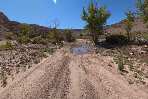
Dry Mesa Road
Branching directly off the main Escalante Canyon route, Dry Mesa Road is an incredibly scenic, highly demanding 11.0-mile backcountry adventure that quickly separates casual drivers from serious off-roaders. This deeply immersive, technical trail kicks off almost immediately with a beautiful flowing...
Learn more about Dry Mesa Road
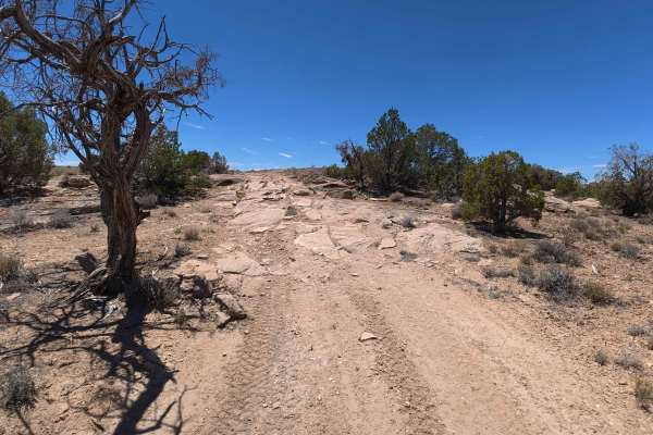
Pick Ax Road
Pick Ax Road boldly splits off from Grandma's Road, immediately plunging explorers into a dramatically scenic, rugged desert canyon environment heavily flanked by steep, imposing cliff walls. Maintaining a steady average speed of 7.3 mph, the early sections of this 2.3-mile route are relatively stra...
Learn more about Pick Ax Road
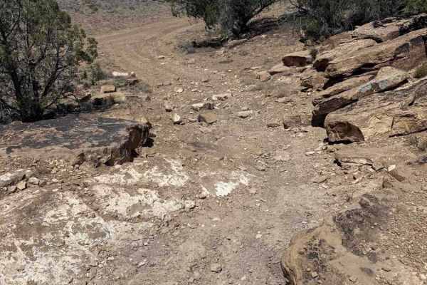
Grandma's Ride Road
Grandma's Ride Road is a highly scenic, moderately technical 2.5-mile trail that embarks directly adjacent to a large, convenient staging area. Averaging a cautious 5.6 mph over roughly 27 minutes, the drive offers incredible, expansive 360-degree panoramic views of the surrounding, dramatic desert ...
Learn more about Grandma's Ride Road
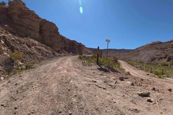
E23 Road
E23 is a highly demanding, breathtakingly scenic 7.3-mile backcountry route that guarantees an intense off-road adventure right from the starting line. Sharing its initial entrance with the Dry Mesa trail, the journey immediately plunges vehicles into a flowing water crossing measuring up to 14 inch...
Learn more about E23 Road
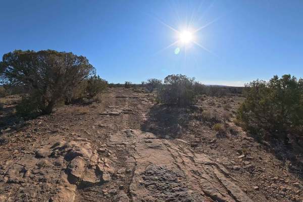
74 Road
Embark on an incredibly scenic and remarkably smooth journey along 74 Road, a 2.3-mile dirt trail that perfectly balances easy accessibility with breathtaking natural beauty. Right near the entrance, visitors are greeted by a convenient secondary trailhead boasting ample parking for 30 to 40 vehicle...
Learn more about 74 Road

Point Camp Trail
Point Camp Trail is one of only a couple of single-track trails in the Grand Mesa National Forest near Grand Mesa, Colorado. This trail is 3.2 miles and mostly flat with only a couple hundred feet of elevation gain if riding north to south. It goes fast through a lot of meadows, where you'll likely ...
Learn more about Point Camp Trail
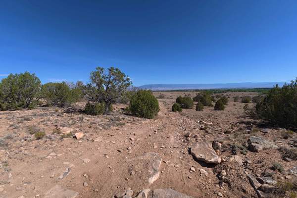
Burch Loop
Burch Loop kicks off precisely where Rusty Nail Road concludes, delivering a highly scenic, moderately fast-paced 3.5-mile adventure through the high desert. Traveling at an estimated average speed of 10.3 mph, the trail is well-known for offering exceptional, continuous panoramic views of the plung...
Learn more about Burch Loop
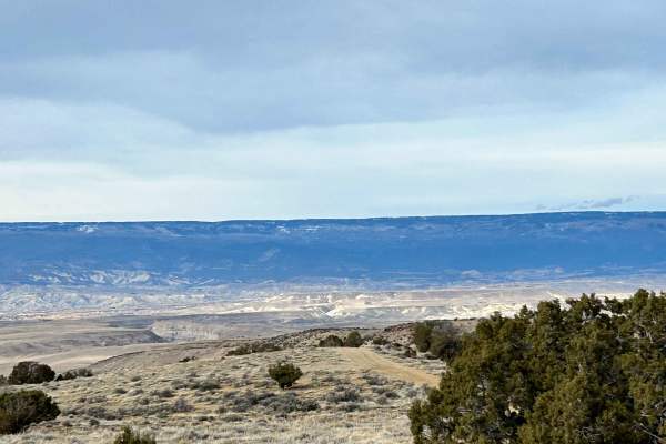
Sunnyside Cutoff
This well-established cutoff provides an alternative option from the Sidewinder Trail to the Smith Mountain Trail. Terrain is easy, but it offers different views to create more of a loop experience in this area. This trail and this area are very accessible, even during the winter months, and make fo...
Learn more about Sunnyside Cutoff
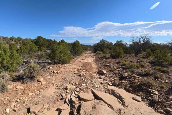
Roatcap Gulch Road
Roat Cap Road is a thrilling, highly dynamic 6.6-mile expedition that continuously evolves from a scenic valley transit into a rigorous, high-exposure mountain ascent. The journey begins by weaving through striking canyon corridors that offer alternating, expansive views of the lower valleys. Early ...
Learn more about Roatcap Gulch Road
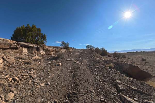
Ben Lowe Road - BLM 860
Serving as a direct continuation immediately following the challenging Tower Road, the scenic Ben Lowe Road (BLM 860) offers a captivating 5.0-mile journey deep into rugged canyon territory. Because this isolated trail mandates the completion of Tower Road first, travelers are rewarded with profound...
Learn more about Ben Lowe Road - BLM 860
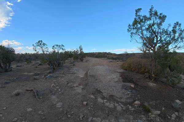
Little Buck Road
Little Buck Road offers a delightfully short, exceptionally relaxed 2.5-mile journey through some of the area's most picturesque high-desert terrain. This highly accessible route gently meanders over firm dirt tracks and light rocky surfaces, remaining remarkably free of severe technical challenges....
Learn more about Little Buck Road
ATV trails near Delta, Colorado
Explore ATV-friendly trails near you. These trails are accessible for vehicles up to 50 inches wide, perfect for ATVs and smaller off-road machines.
Alkali Basin
Alkali Basin Loop is a 26.8-mile off-road route north of Delta, Colorado, climbing from the high desert into the Grand Mesa foothills. Connecting the Alkali Basin Trail on the west with the Pipeline West Trail on the east, the loop reaches a peak elevation of 8,635 feet. The western climb is rated a...
Learn more about Alkali Basin
Denca Road
Denca Road is a highly scenic, moderately challenging 6.7-mile backcountry transit that begins directly off the main E 23 route. Welcoming a wide variety of outdoor enthusiasts—including passenger cars, trucks, side-by-sides, and horseback riders—the trail kicks off at a convenient, medium-sized dir...
Learn more about Denca Road
Munition Hill
Munition Hill is a highly scenic, 1.2-mile open trail that invites a wide variety of explorers, from horseback riders and hikers to drivers of side-by-sides, motorcycles, and all street-legal vehicles. The journey begins with an exciting, steep rocky descent characterized by moderate ruts ranging fr...
Learn more about Munition Hill
Escalante Canyon Road
Escalante Canyon is a beautifully scenic, highly accessible 6.7-mile route that begins immediately off the paved highway, welcoming off-road explorers with a massive, hard-packed dirt staging area easily capable of accommodating up to 60 vehicles and large trailers. This exceptionally smooth, recent...
Learn more about Escalante Canyon Road
UTV/side-by-side trails near Delta, Colorado
Find UTV and side-by-side trails near you. These trails accommodate vehicles up to 60 inches wide, ideal for UTVs, side-by-sides, and wider off-road rigs.
Alkali Basin
Alkali Basin Loop is a 26.8-mile off-road route north of Delta, Colorado, climbing from the high desert into the Grand Mesa foothills. Connecting the Alkali Basin Trail on the west with the Pipeline West Trail on the east, the loop reaches a peak elevation of 8,635 feet. The western climb is rated a...
Learn more about Alkali Basin
Denca Road
Denca Road is a highly scenic, moderately challenging 6.7-mile backcountry transit that begins directly off the main E 23 route. Welcoming a wide variety of outdoor enthusiasts—including passenger cars, trucks, side-by-sides, and horseback riders—the trail kicks off at a convenient, medium-sized dir...
Learn more about Denca Road
Munition Hill
Munition Hill is a highly scenic, 1.2-mile open trail that invites a wide variety of explorers, from horseback riders and hikers to drivers of side-by-sides, motorcycles, and all street-legal vehicles. The journey begins with an exciting, steep rocky descent characterized by moderate ruts ranging fr...
Learn more about Munition Hill
Escalante Canyon Road
Escalante Canyon is a beautifully scenic, highly accessible 6.7-mile route that begins immediately off the paved highway, welcoming off-road explorers with a massive, hard-packed dirt staging area easily capable of accommodating up to 60 vehicles and large trailers. This exceptionally smooth, recent...
Learn more about Escalante Canyon Road
The onX Offroad Difference
onX Offroad combines trail photos, descriptions, difficulty ratings, width restrictions, seasonality, and more in a user-friendly interface. Available on all devices, with offline access and full compatibility with CarPlay and Android Auto. Discover what you're missing today!
Open Trail Map